Salmon-Challis National Forest
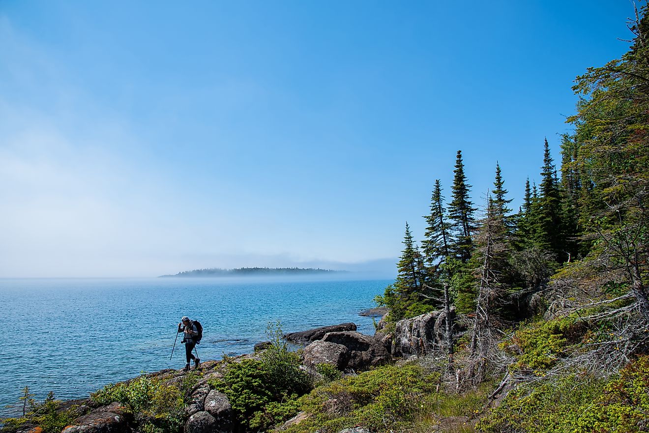
Stretching across more than 4.3 million acres in east-central Idaho, the Salmon-Challis National Forest is one of the largest national forests in the continental United States. Encompassing a landscape of sharp ridgelines, deep canyons, and wild rivers, it’s a region that remains largely undeveloped and remote—defined by its dramatic topography and ecological diversity. This expanse of public land includes portions of multiple mountain ranges and nearly one-third of the Frank Church–River of No Return Wilderness, the largest federally designated wilderness area in the Lower 48 states.
The forest borders or intersects with portions of the Lemhi, Bitterroot, Pioneer, and Lost River Mountain Ranges, and it contains Borah Peak, Idaho’s tallest summit at 12,662 feet. The Salmon River—a federally designated Wild and Scenic River—cuts through the landscape, along with its renowned tributary, the Middle Fork of the Salmon River, creating one of the country’s premier destinations for whitewater recreation. With its vast, undeveloped terrain and limited infrastructure, Salmon-Challis offers some of the most remote and rugged outdoor experiences available anywhere in the contiguous United States.
Geography and Terrain

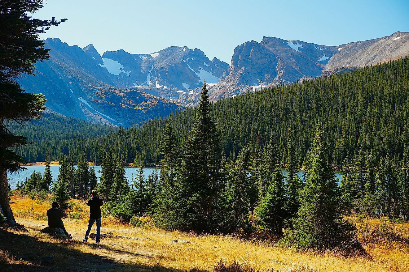
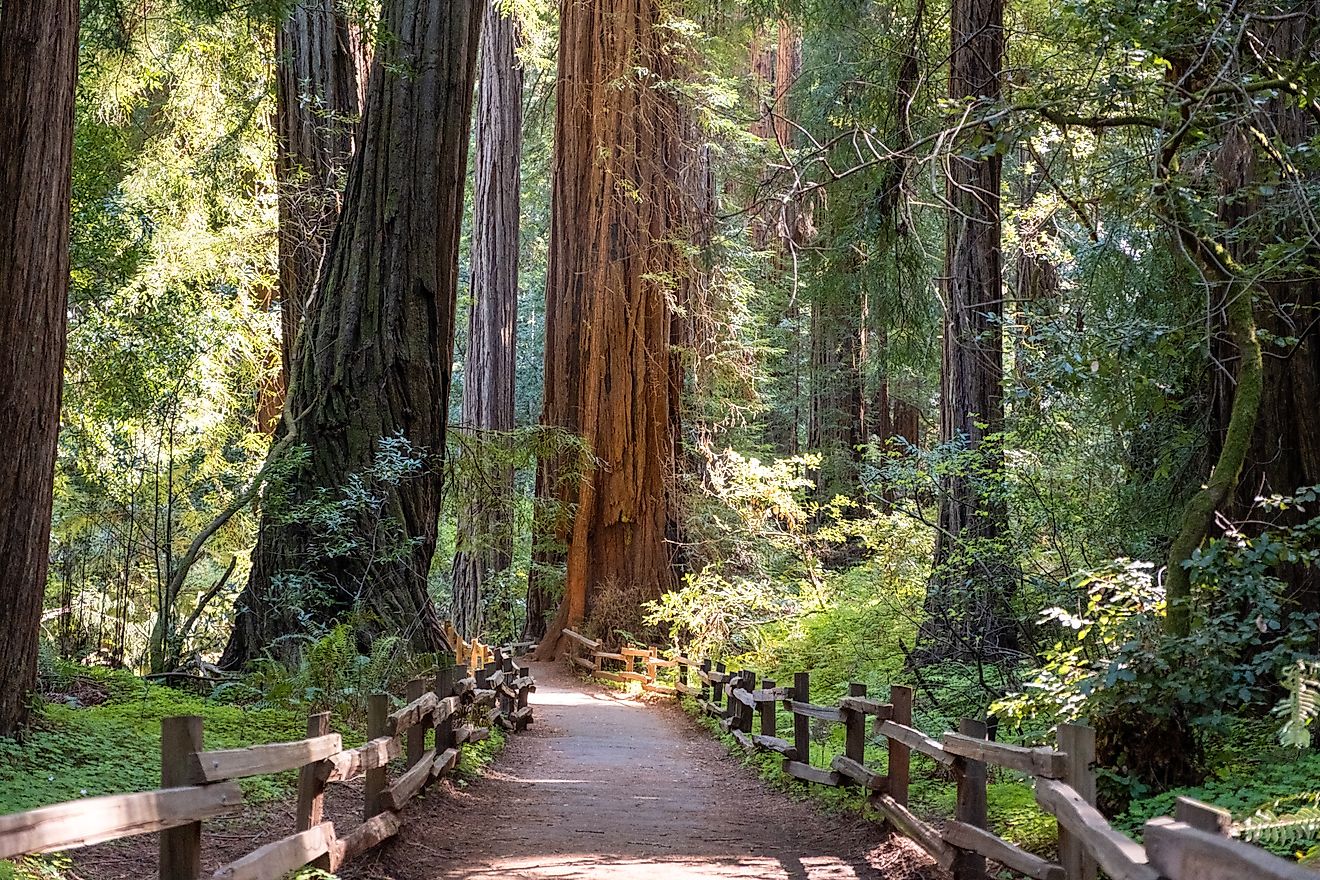
The terrain of Salmon-Challis National Forest is marked by significant variation in elevation and geology. The Salmon River Mountains, which dominate much of the interior wilderness, do not form a single cohesive ridge but instead fan out into multiple minor crests and drainages. The resulting landscape is a complex and sprawling network of summits, ridgelines, and canyons. The forest transitions from ponderosa pine at lower elevations to Douglas fir and lodgepole pine in the mid-range, with spruce and subalpine fir dominating higher up. Interspersed among the forested slopes are grassy meadows, treeless ridges, and high-alpine lakes.
The centerpiece of the region’s wilderness system is the Frank Church–River of No Return Wilderness, a 1.3 million-acre federally protected area. This wilderness spans a massive swath of central Idaho and is accessible only by foot, horseback, or non-motorized watercraft. Outside of Alaska, there is no comparable stretch of land in the United States that offers the same combination of size, isolation, and rugged character.
The Rivers: Salmon and Middle Fork

Central to the identity of Salmon-Challis is the Salmon River, often referred to as “The River of No Return.” This river earned its name from the challenges early explorers and miners faced in navigating upstream through its narrow, rock-walled canyons and swift current. Today, the river is a centerpiece for whitewater rafting, kayaking, and fishing. Its flow through isolated gorges provides access to scenery that is otherwise unreachable.
Equally iconic is the Middle Fork of the Salmon River, one of the most sought-after multi-day rafting destinations in North America. Flowing for over 100 miles through a wilderness corridor, the Middle Fork features more than 300 rapids—many of them rated Class III or IV—and a host of natural hot springs, historical sites, and primitive campsites along the way. Due to the high demand and the need to preserve the wilderness quality of the experience, access to the Middle Fork and Main Salmon is regulated through the Four Rivers Lottery System, a permit-based system that controls the number of launches each season.
Mountains and High-Altitude Wilderness

The Salmon-Challis region encompasses some of Idaho’s most dramatic high-altitude terrain. Most notable is Mount Borah, located in the Lost River Range. At 12,662 feet, it is Idaho’s tallest peak and a popular—though challenging—climb for experienced hikers and mountaineers. The “Chicken-Out Ridge” route to the summit is not for the faint of heart, requiring careful navigation over exposed rock.
Further into the wilderness, the Bighorn Crags present a lesser-known but equally striking mountain environment. This cluster of granite peaks and alpine lakes lies deep within the Frank Church Wilderness and is accessed via rugged forest roads and remote trailheads. The area is known for its dramatic vertical relief and clear, glacially-carved lakes. Due to its isolation, the Crags receive relatively few visitors, offering solitude even during peak summer months.
Recreational Opportunities

Recreation in the Salmon-Challis National Forest ranges from front-country camping and scenic driving to deep wilderness exploration. The region is a magnet for backpackers, horseback riders, hunters, and anglers, many of whom are drawn to its vast stretches of undeveloped land. The forest is home to abundant wildlife including elk, mule deer, black bear, mountain lion, and even gray wolves.
Camping is available throughout the forest, from primitive dispersed sites to developed campgrounds. The U.S. National Forest Campground Directory provides detailed information on location, access, and amenities. Fishing is productive in many streams and lakes, where anglers target rainbow, cutthroat, brook, and bull trout, as well as steelhead during seasonal runs.
Hunting is also a major activity in the region. The large expanses of unroaded habitat support robust populations of big game. Hunters often use all-terrain vehicles (ATVs) in permitted areas, though off-highway vehicle regulations are strictly enforced in order to protect sensitive habitats.
For those less inclined to explore solo, commercial outfitters offer guided trips. These include whitewater rafting, fly fishing excursions, horseback pack trips, and wilderness camping adventures. Many of these trips are multi-day affairs, traversing some of the most inaccessible and scenic parts of the forest.
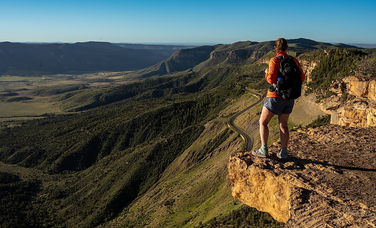
Scenic Drives and Byways

Not all of Salmon-Challis has to be experienced on foot or by raft. Several Scenic Byways cut through the forest, offering views of alpine ridges, river valleys, and sweeping mountain basins. These drives are especially popular in the fall when the forest’s aspen groves turn gold and orange, contrasting with the dark greens of the conifers and the stark gray of exposed rock.
One particularly notable route is the Custer Motorway, a historic backcountry byway that offers access to the forest’s rich mining history. This rough road traces part of the route used during Idaho’s 19th-century gold rush, passing through the preserved ghost town of Custer. Here, visitors can walk among original buildings and learn about the area’s boomtown past.
Just down the road lies the Yankee Fork Gold Dredge, a massive relic of industrial mining operations that once scoured the riverbed for gold. The dredge has been restored and is open for tours, providing insight into the scale and impact of historic mining in the region.
Another historic site of note is the Mackay Mine Hill, located near the town of Mackay. Interpretive trails wind through the remnants of copper mining operations that once drove the local economy. The site offers panoramic views of the Lost River Range and detailed signage on the area’s mining history.
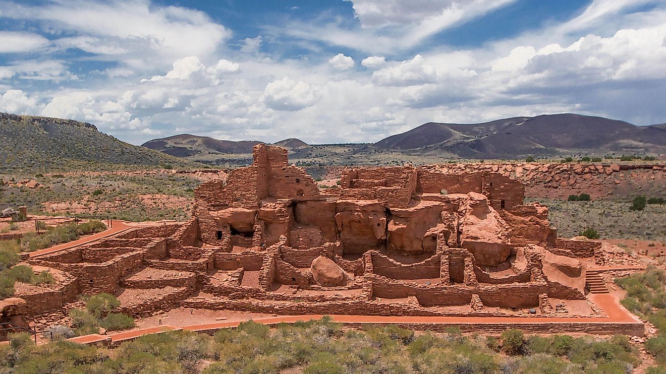
Cultural and Historical Significance

In addition to its mining past, Salmon-Challis National Forest intersects with several major historic trails, including the Lewis & Clark National Historic Trail and the Nez Perce National Historic Trail. These routes trace the paths of early exploration and Native American migration and resistance, offering important context for understanding the deeper human history of the region.
Visitors will also encounter historic ranger stations, cabins, and fire lookouts, some of which are preserved as heritage sites. These structures serve as reminders of the early days of the U.S. Forest Service and the ongoing efforts to manage and protect this vast landscape.