Sawtooth Mountain Range
The Sawtooth Mountains in central Idaho are home to jagged peaks, glacier-carved valleys, and hundreds of alpine lakes. This remote stretch of the Rocky Mountains covers 678 square miles across Custer, Boise, Blaine, and Elmore counties. The range reaches its highest point at Thompson Peak, which rises to 10,751 feet.
Most of the Sawtooths lie within the federally designated Sawtooth Wilderness. This protected area is part of the larger Sawtooth National Recreation Area and Sawtooth National Forest. With more than 130 named peaks, 350 miles of trails, and a dense network of lakes and rivers, the range offers one of the most rugged and scenic backcountry experiences in the western United States.
Why the Peaks Look Like Saw Blades

The name “Sawtooth” comes from the sharp, serrated appearance of the ridgeline. The range includes 57 peaks that rise over 10,000 feet. Another 77 peaks fall between 9,000 and 10,000 feet.
The tallest summit, Thompson Peak, offers views of dozens of nearby summits and a wide stretch of wilderness. Observation Peak is a non-technical hike at 9,150 feet, while King Spire, at 8,980 feet, includes a technical rock climb rated Class 5.10 on the Yosemite Decimal System. Many summits require backcountry navigation, alpine skills, and physical endurance. These peaks offer challenges for hikers, scramblers, and experienced climbers.
The Landscape Was Shaped by Fire and Ice

The northern part of the Sawtooth Range was formed from the Eocene-era Sawtooth batholith, while the southern portion, near Alturas Lake, consists of older granodiorite from the Cretaceous Idaho Batholith.
During the Pleistocene, powerful glaciers shaped the terrain. Although active glaciers no longer exist, over 200 perennial snowfields remain, mostly on north- and east-facing slopes. Rock glaciers also survive as evidence of long-term ice movement.
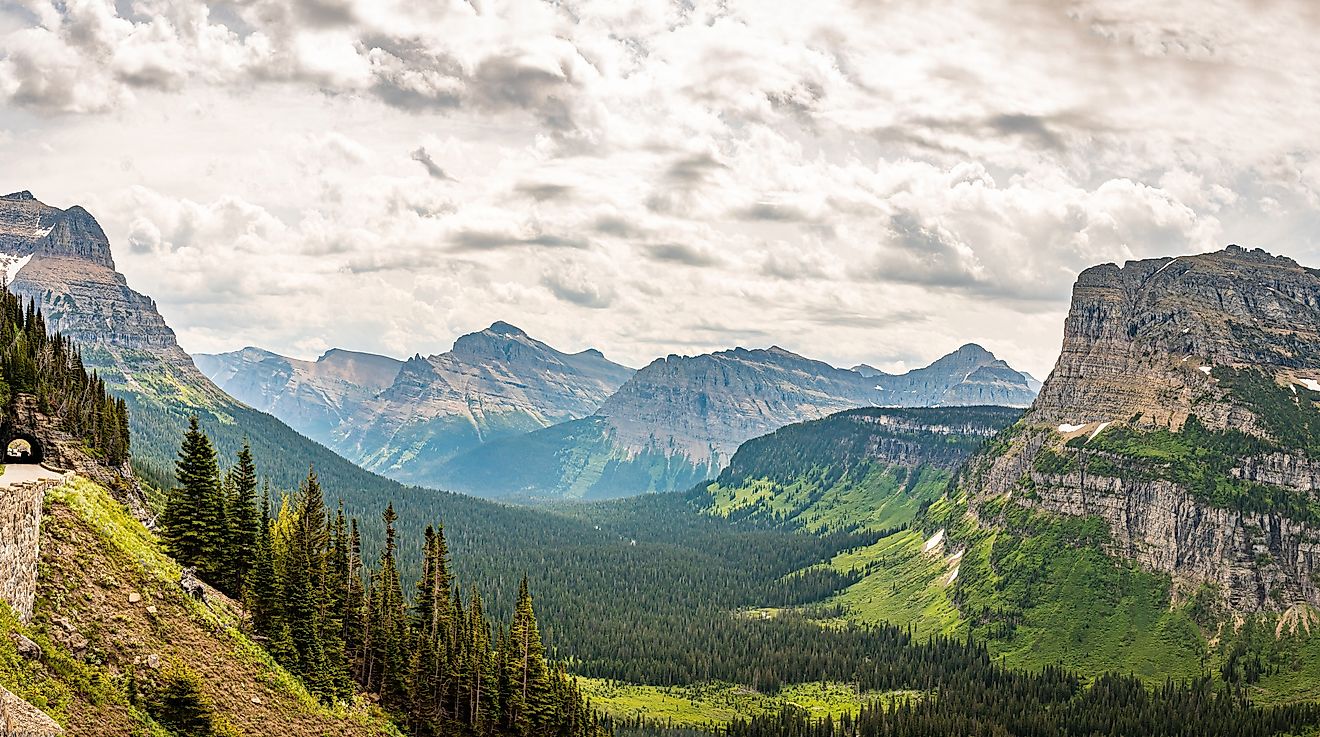
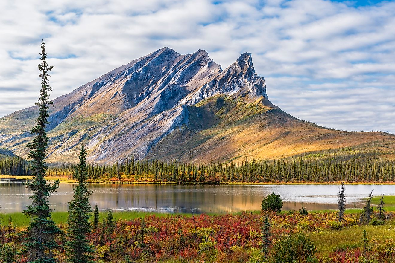
Geological features created by glaciers are visible throughout the range. Visitors can spot cirques, U-shaped valleys, moraines, arêtes, and alpine horns. Many of the region’s lakes formed from the melting of ancient glaciers. These lakes now fill high basins and steep-walled valleys, creating a landscape that feels untouched by modern development.
A Fault Line Sits Beneath the Sawtooths

In 2010, researchers from Idaho State University discovered the Sawtooth Fault. This 40-mile fault line runs near the base of the mountains close to Stanley and Redfish Lake. Although no major earthquakes have been recorded in modern history, the fault’s last period of activity occurred between 4,000 and 7,000 years ago.
Geologists estimate that the Sawtooth Fault could produce a magnitude 7.5 earthquake. That level of seismic activity would likely be felt as far away as Boise, which lies more than 130 miles to the southwest. While the region remains geologically stable in the short term, the fault is monitored for future risk.
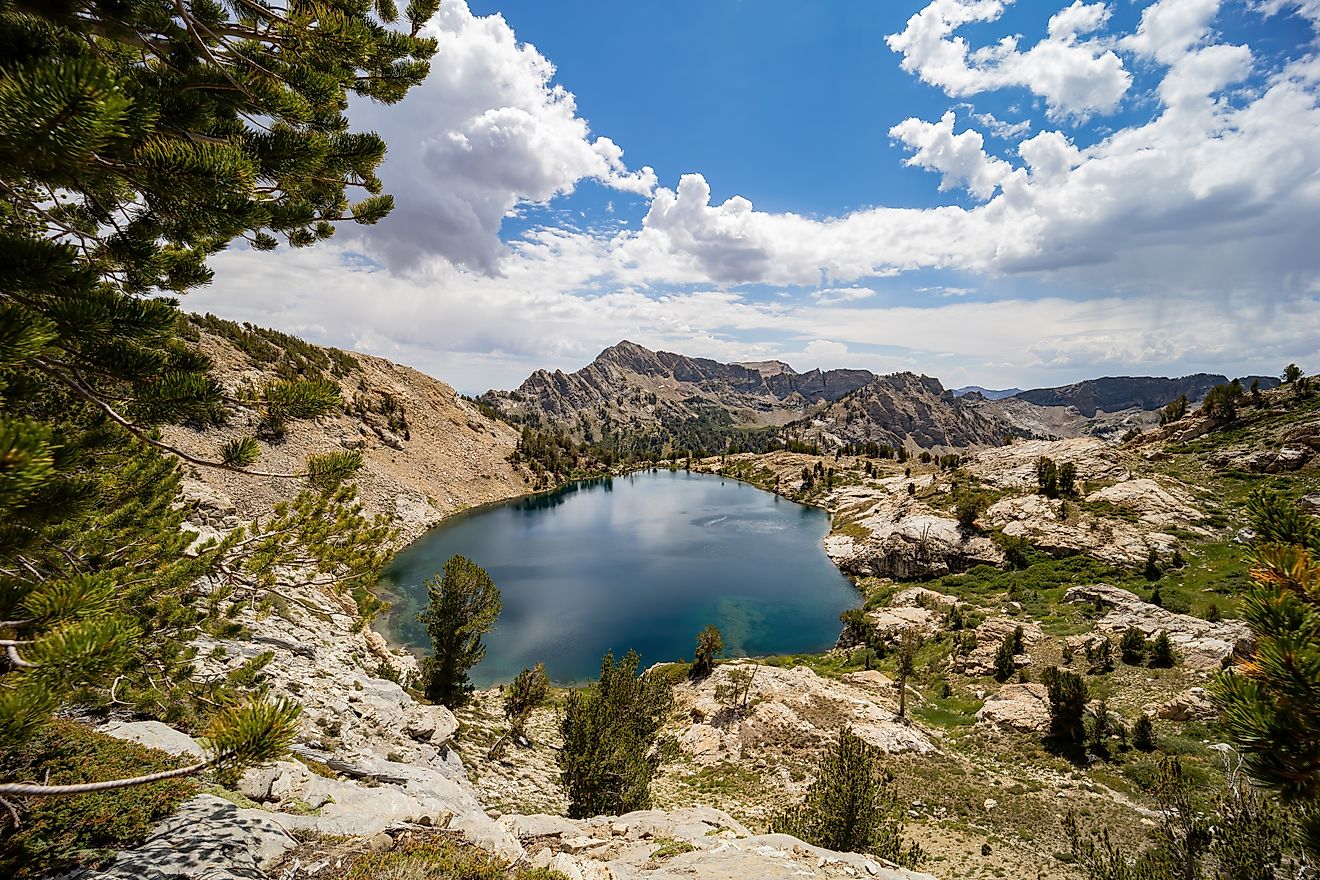
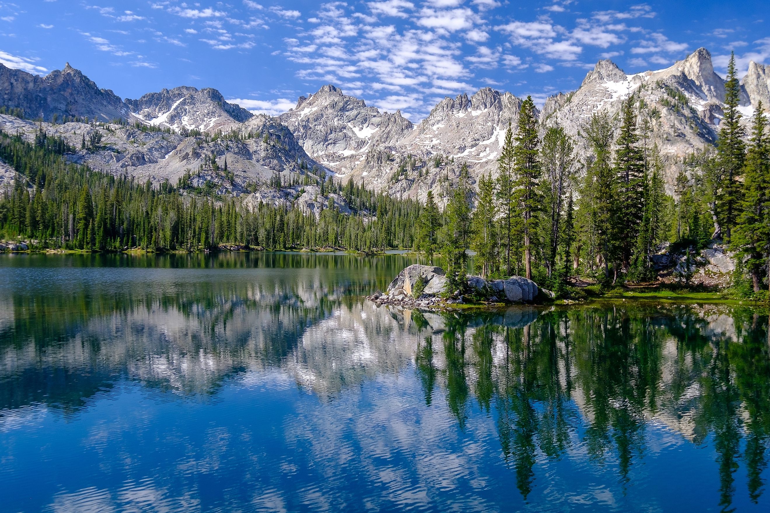
Hundreds of Lakes Reflect the Alpine Sky

Glacial activity carved hundreds of lakes into the Sawtooth Mountains. Nearly 400 lakes sit within the Sawtooth Wilderness boundary. Most of these lakes can only be reached by hiking several miles into the backcountry.
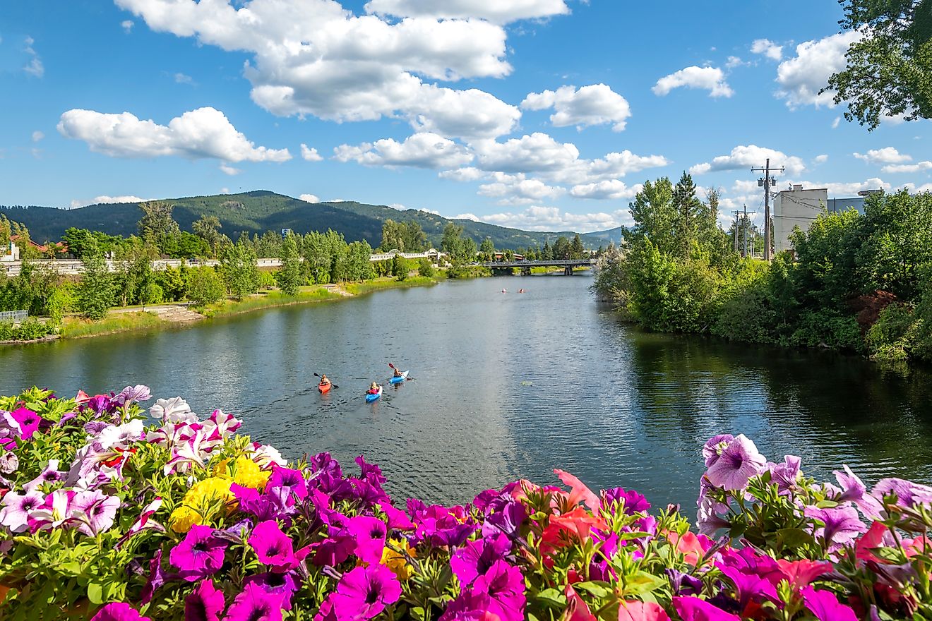
Outside of the wilderness, several large lakes are accessible by paved or graded roads. Redfish Lake, Stanley Lake, Alturas Lake, Pettit Lake, and Yellow Belly Lake are among the most popular for visitors. Sawtooth Lake, which sits high above the Iron Creek trailhead, is one of the most photographed alpine lakes in Idaho.
These lakes offer cold, clear water and mountain reflections. Many are stocked with fish and attract anglers during summer and fall. Others serve as quiet camping spots where hikers can escape crowds and experience total silence under the stars.
Rivers and Streams Divide the Range

The eastern slopes of the Sawtooth Mountains feed the Salmon River, one of the longest undammed rivers in the continental United States. On the western side, meltwater drains into the South Fork of the Payette River. The northern and southern ends of the range include parts of the Middle Fork Salmon River and the Boise River watersheds.
Rivers cut deep canyons and provide water to dense forests and alpine meadows. These waterways support diverse wildlife, including native trout, beavers, moose, elk, and black bears. Seasonal runoff also shapes trail conditions. Spring melt can lead to swollen creeks, washed-out bridges, and deep snow at higher elevations.
Trails Lead to High Passes and Hidden Lakes

There are 40 official trails in the Sawtooth Wilderness, totaling nearly 350 miles. These trails range from short day hikes to multi-day backpacking routes and horseback riding paths. Twenty-three trailheads provide access to different corners of the range.
Popular trails include Iron Creek to Sawtooth Lake, Pettit Lake to Alice Lake and Toxaway Loop, and Redfish Lake to Alpine Lake and Cramer Lakes. Hikers gain access to cirques, wildflower meadows, granite basins, and panoramic ridgelines.
Backcountry camping is allowed throughout the wilderness. Campers must follow wilderness regulations, including fire restrictions and proper food storage. Bears are present, so bear-resistant containers are recommended. Many areas above certain elevations prohibit campfires to protect fragile alpine ecosystems.
Outside of the wilderness boundaries, the Sawtooth National Recreation Area offers developed campgrounds. Redfish, Alturas, Pettit, Stanley, and Little Redfish lakes all have campgrounds with facilities. These sites are popular during summer and can fill up quickly. Iron Creek Campground near the Sawtooth Lake trailhead is another favorite among hikers.
Wildlife and Weather Add to the Experience

The Sawtooth Mountains support a wide range of wildlife. Mule deer, elk, mountain goats, and black bears are often seen. Wolverines, pine martens, and gray wolves inhabit remote areas. Eagles and osprey fish in the lakes and rivers, while songbirds fill the meadows each spring.
Wildflower blooms begin in June and peak in July. Alpine lupine, paintbrush, columbine, and phlox cover open slopes in vibrant colors. Autumn brings golden aspens and quieter trails.
Weather can change quickly in the high country. Afternoon thunderstorms are common in summer, and snow can linger on north-facing slopes well into July. Night temperatures at high elevations can drop below freezing, even in midsummer.
Winter in the Sawtooths Offers Its Own Rewards

Although most visitors come during the warmer months, the Sawtooths also offer winter recreation. Snow blankets the peaks from late October through May. Skiers, snowshoers, and snowmobilers explore areas outside the wilderness boundaries.
Stanley, the nearest town, remains open all winter and is known for its subzero temperatures and clear night skies. Hot springs in the surrounding area offer a warm reward after cold-weather outings.
Avalanche danger is a serious concern in winter. Those venturing into the backcountry should carry proper safety gear and check conditions through avalanche forecasting services.
Protecting a Rare Wilderness

The Sawtooth Wilderness and the surrounding National Recreation Area are managed by the U.S. Forest Service. Permits are required for overnight use in the wilderness, though they are free and self-issued at trailheads. The area remains largely undeveloped, with no lodges, roads, or resorts in the interior.
Leave No Trace ethics are strongly encouraged. Hikers and campers are expected to pack out all waste, avoid trampling sensitive vegetation, and respect wildlife. Increasing popularity has led to concerns about overcrowding at high-use areas, especially during July and August. Visiting in June or September offers a quieter and often more rewarding experience.
Idaho’s Sawtooths Are Still Wild

The Sawtooth Mountains offer one of the last truly wild landscapes in the lower 48 states. With more than 100 jagged peaks, hundreds of alpine lakes, and a vast network of hiking trails, the range provides adventure without compromise.
Whether climbing Thompson Peak, camping beside Toxaway Lake, or paddling across Redfish Lake, visitors find a mountain experience that is both rugged and unforgettable. Idaho’s Sawtooths are not a backdrop. They are the main event.
Quick Facts About the Sawtooth Mountains
| Feature | Details |
|---|---|
| Location | Central Idaho (Custer, Boise, Blaine, Elmore) |
| Highest Peak | Thompson Peak (10,751 feet) |
| Total Area | 678 square miles |
| Number of Peaks Over 10,000 ft | 57 |
| Total Lakes in Wilderness | Nearly 400 |
| Largest Lakes Outside Wilderness | Redfish, Alturas, Pettit, Stanley, Yellow Belly |
| Trails | 40 official trails, nearly 350 miles total |
| Trailheads | 23 access points |
| Primary Rivers | Salmon River (east), Payette River (west) |
| Seismic Feature | Sawtooth Fault (40 miles, possible 7.5 magnitude) |
| Geological Composition | Sawtooth and Idaho Batholiths |