Lake Huron
Lake Huron may not always steal the spotlight like Superior or Michigan, but make no mistake—it’s a freshwater titan. Spanning international borders, rich in history, and riddled with islands, bays, and bustling harbors, Lake Huron is both a geographical marvel and a cultural cornerstone.
At 23,000 square miles, it ranks as the second largest of North America's Great Lakes, yet it remains one of the most underrated. Nestled between Michigan’s eastern shoreline and Ontario’s rugged coast, Lake Huron is a lake of many stories—geological, historical, ecological, and economic.
A Freshwater Giant

Measuring 206 miles long and 183 miles wide at its broadest point, Lake Huron is truly massive. Its watershed stretches across 51,700 square miles of land, with waters flowing in from Lake Superior via the St. Marys River, Lake Michigan through the Straits of Mackinac, and countless rivers and streams draining the surrounding terrain. The lake eventually empties southward into Lake Erie by way of the St. Clair River, Lake St. Clair, and the Detroit River.
At an average surface elevation of 577 feet above sea level and a maximum depth of 750 feet, Huron boasts impressive underwater topography. These depths, combined with the lake’s vast surface area, contribute to its ability to support diverse marine ecosystems, intense weather phenomena, and a long history of maritime navigation.
A Lake of Islands and Inlets

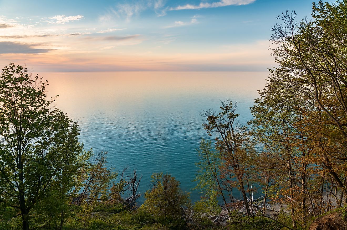
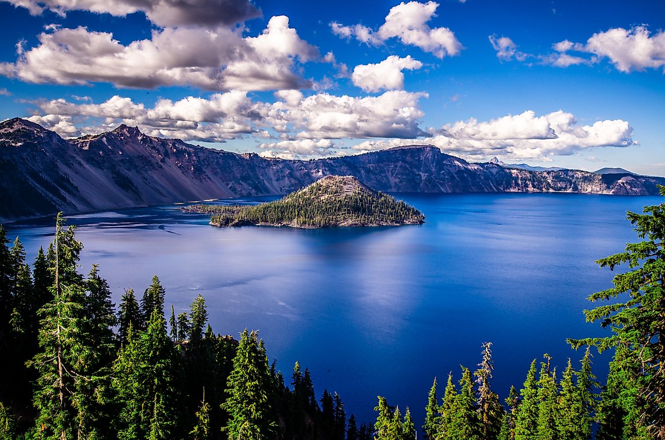
One of Lake Huron’s most fascinating features is its abundance of islands—many of which are clustered in the northeast region. Among them is Manitoulin Island, the largest freshwater island in the world. This island alone has over 100 inland lakes and is rich in Anishinaabe culture and outdoor opportunities, from hiking to kayaking to stargazing.
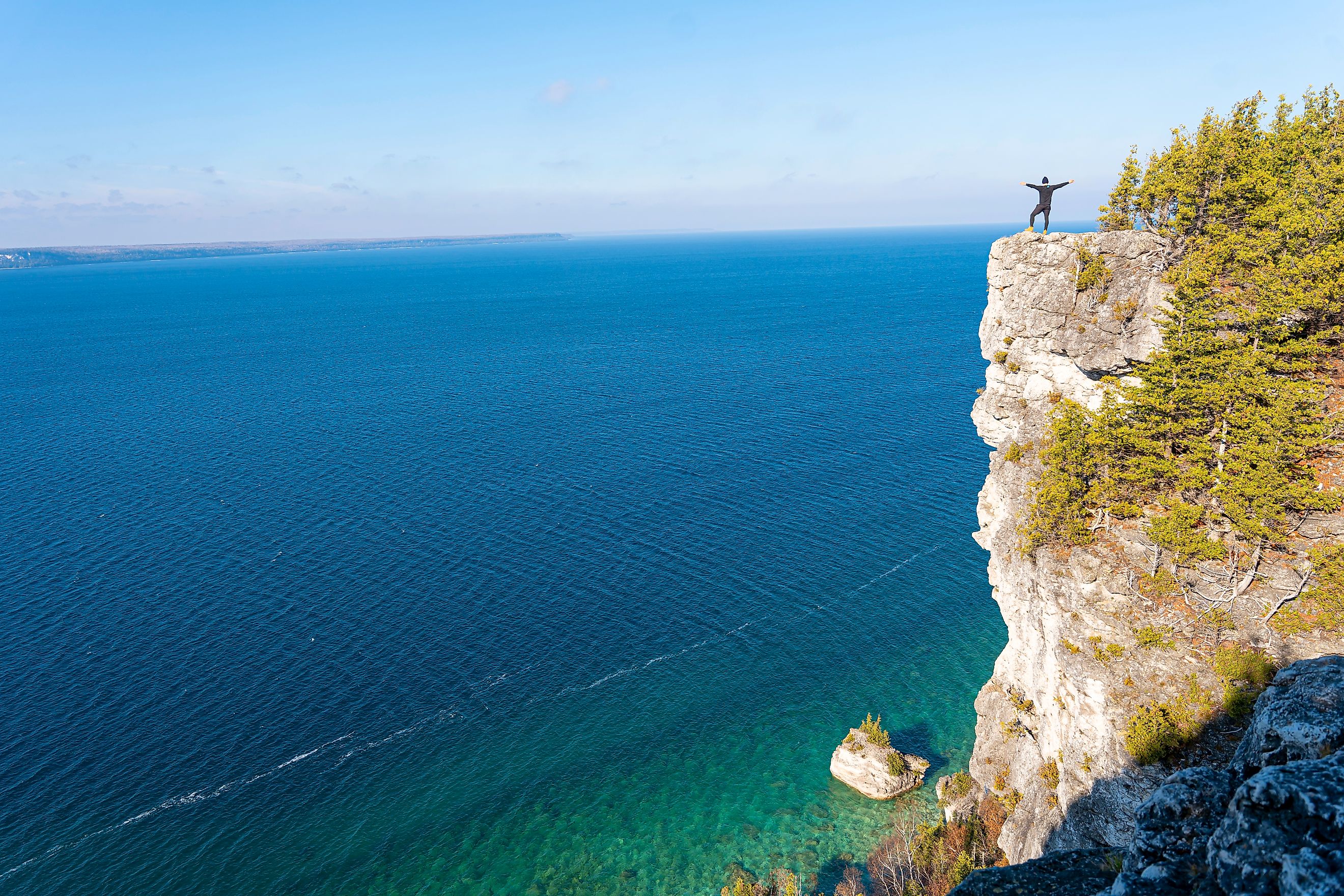
Georgian Bay, a large bay on the northeast arm of Lake Huron, contains thousands of these islands, carved by ancient glaciers and surrounded by crystal-clear water. The North Channel, a scenic corridor just north of Manitoulin, offers some of the most pristine boating experiences in North America.
Closer to the lake’s northwest corner lies the iconic Mackinac Island, known for its car-free streets, Victorian charm, and sweeping views of the Straits of Mackinac. This region, where Lake Huron meets Lake Michigan, is not only scenic but historically pivotal.
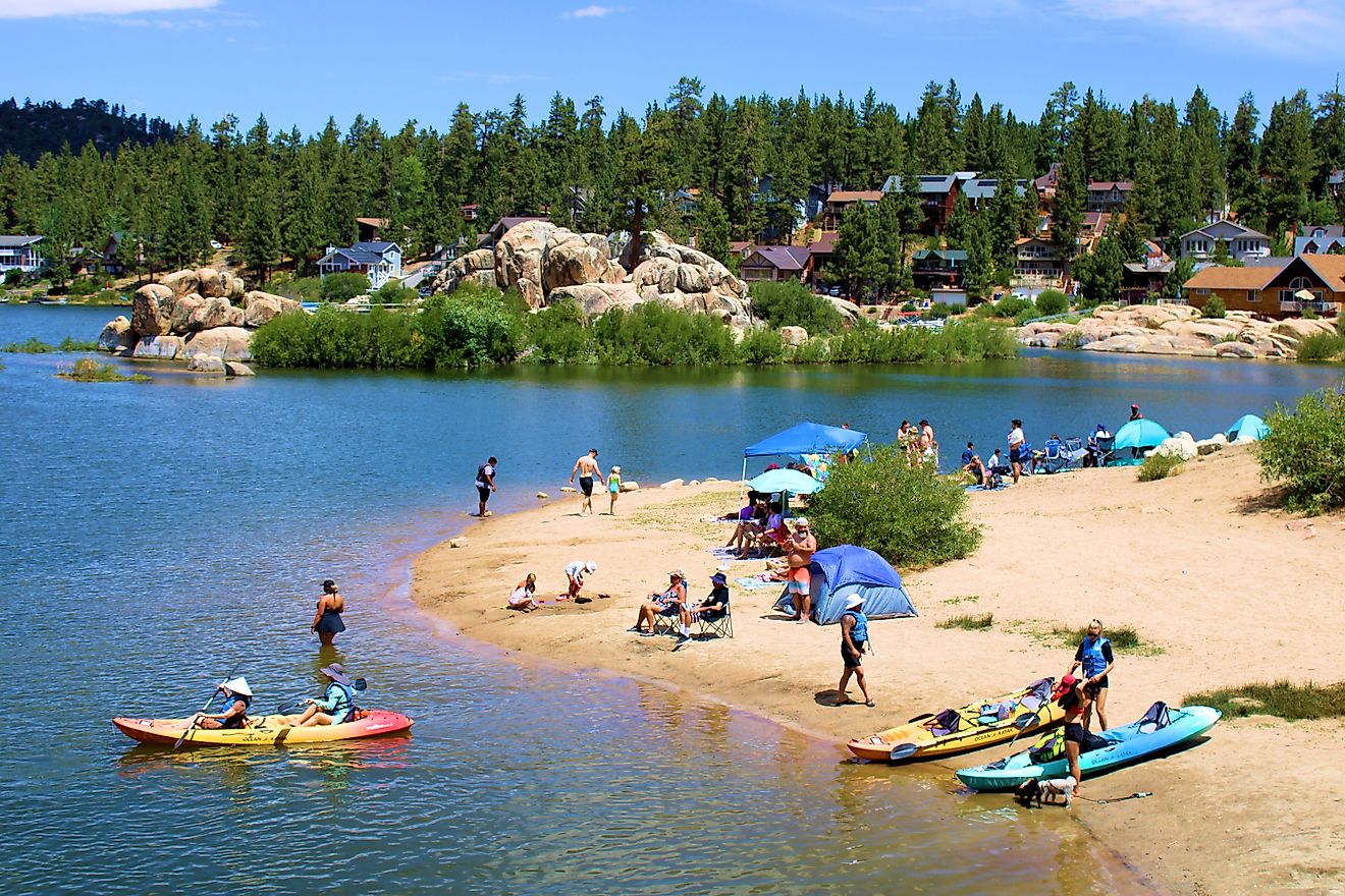
On the lake’s Michigan side, Saginaw Bay makes a dramatic indentation in the shoreline. This shallow, productive bay is a hotspot for fishing, birdwatching, and boating, particularly in the summer months.
Gateway to Commerce

Lake Huron has long served as a critical artery for transportation and trade. It forms part of the St. Lawrence Seaway system, a major commercial shipping route that connects the Great Lakes to the Atlantic Ocean. Vessels carry iron ore, grain, coal, and limestone across Huron’s waters from spring through late December, when ice closes the shipping lanes.
Michigan’s Rockport and Rogers City are notable ports for limestone extraction—massive quantities of stone are shipped from here to feed North America’s steel and construction industries. Other key harbors like Alpena, Bay City, Cheboygan, and Harbor Beach handle regional trade and recreational boating.
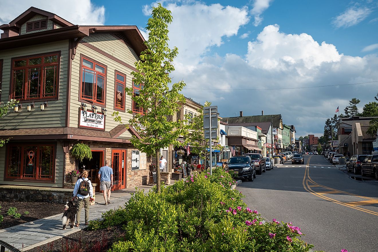
On the Canadian side, Georgian Bay is home to several important ports, including Collingwood, Midland, Port McNicoll, and Depot Harbour. These communities have evolved alongside the lake, many shifting from resource-based economies to tourism and recreation as the times changed.
Lumber, Fish, and Leisure

Before modern tourism took hold, Lake Huron was a powerhouse of natural resources. Logging was once king along the shoreline, with vast pine forests feeding the sawmills that dotted the region. Towns sprang up along the lake’s edge to support the booming industry, which peaked in the 19th century before gradually declining.
Fishing has always been central to the lake’s identity. From Indigenous communities and early European settlers to today’s recreational anglers, Lake Huron has long provided sustenance and sport. Whitefish, perch, walleye, and trout have historically thrived here—though invasive species and ecological changes have altered fish populations in recent decades.
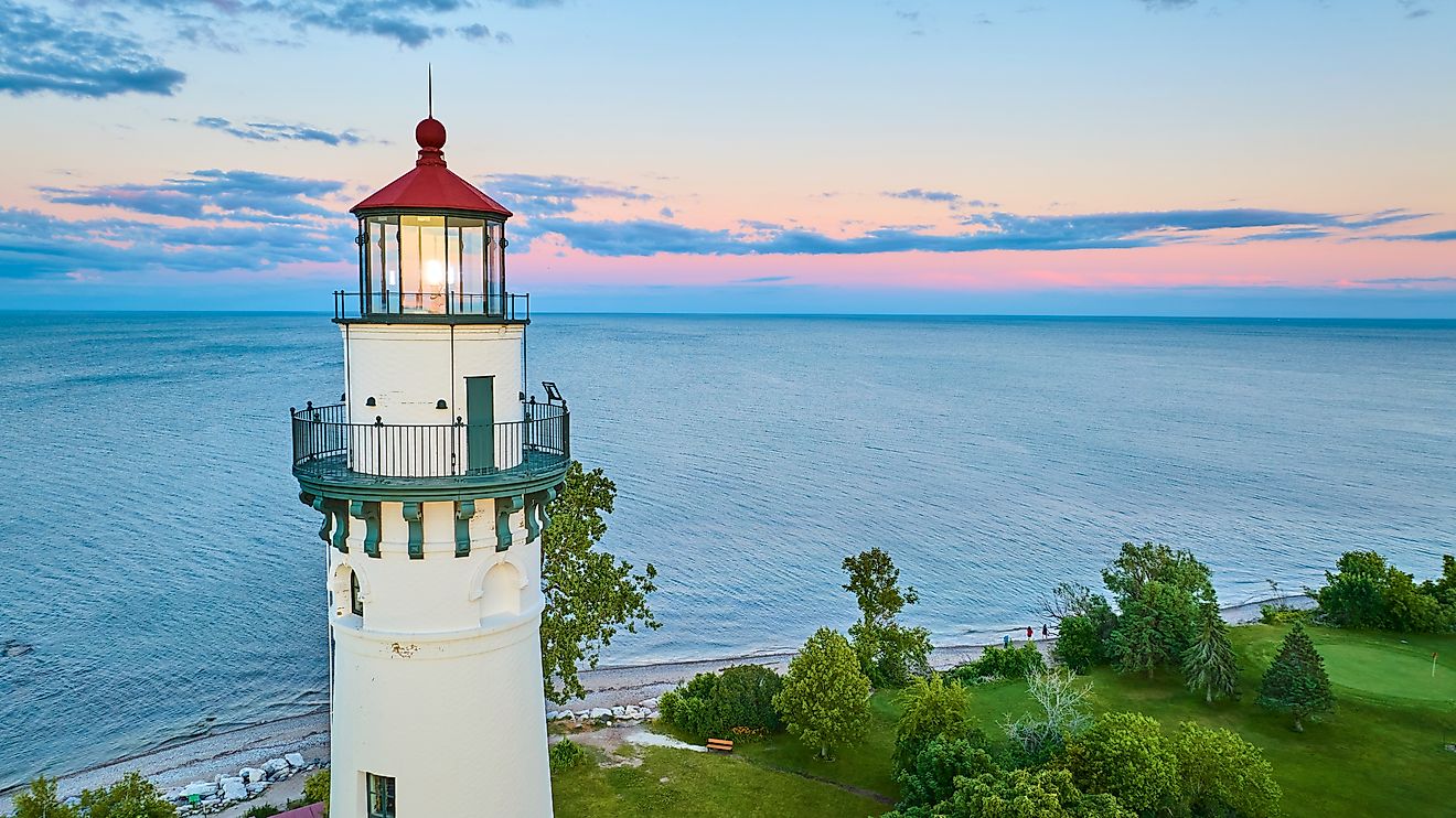
Today, many communities around Lake Huron cater to vacationers and outdoor enthusiasts. Campgrounds, marinas, lighthouses, and lakefront cottages line the shores, offering everything from quiet escapes to summer festivals.
Deep Roots and First Contact

Long before cargo ships and tourists came to the scene, Lake Huron was a vibrant crossroads for Indigenous peoples. The lake takes its name from the Huron people, a confederation of Iroquoian-speaking tribes who lived in the region and relied heavily on the lake for food, trade, and transportation.
Lake Huron also holds the distinction of being the first of the Great Lakes seen by Europeans. French explorers Samuel de Champlain and Étienne Brûlé reached Georgian Bay in 1615 by navigating up the Ottawa and Mattawa Rivers. Brûlé ventured even farther in 1618, reaching the St. Marys River via the North Channel.
The French established a Jesuit mission called Sainte-Marie among the Hurons at the southeastern corner of Georgian Bay in 1638. The mission was destroyed in 1649 by the Iroquois, but the lake continued to play a central role in French colonial activity. Sault Ste. Marie, founded shortly after, became a major outpost at the lake’s northern outlet.
In 1671, Jacques Marquette founded a mission at St. Ignace near the Straits of Mackinac, further solidifying French presence along the lake. Louis Jolliet traveled through the lake in 1669, and Robert Cavelier, Sieur de La Salle, made his own passage westward through Lake Huron in 1679. By then, the lake had become a well-worn route for fur traders and missionaries heading inland.
From Colonies to Countries

As colonial ambitions clashed, the lake’s strategic value only grew. During the 18th century, British forces pushed deeper into the Great Lakes region. Fort Detroit fell to the British in 1760, and the fort at Michilimackinac on the Straits of Mackinac followed in 1761.
Following the American Revolutionary War (1775–1783), the boundary between the United States and British-controlled Canada was drawn through the Great Lakes, including Lake Huron. The border was later reinforced after the War of 1812, during which British forces captured Mackinac Island. Though the US regained it at the war’s end, the conflict cemented the importance of Huron in military and geopolitical terms.
Today, that boundary remains, with Lake Huron shared by the US and Canada—two nations with deeply interwoven histories that began on the waters of this very lake.
A Lake in Winter

While summer brings boaters, anglers, and tourists, Lake Huron in winter transforms into an entirely different world. Ice and snow encase the shoreline in a quiet, frozen stillness. Near the Michigan coast, winds whip over the lake, sculpting ice ridges and frost-covered trees.
Yet even in this season of rest, the lake remains alive. Shipping lanes may close, but life beneath the ice continues. For locals and seasoned adventurers, the lake’s winter landscapes offer solitude, beauty, and a glimpse of nature’s endurance.