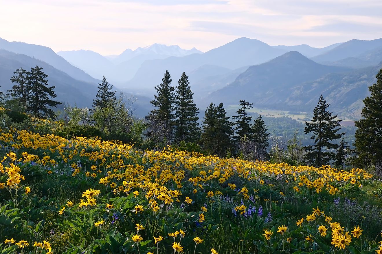
The 5 Highest Mountains in The Appalachians
The Appalachian Mountains stretch more than 1,500 miles from Alabama to Newfoundland, carving out one of North America’s most iconic and ancient landscapes. Within this sprawling range, some peaks soar above the rest, not only in height but in geological significance and visual drama. The five highest mountains in the Appalachians all rise from the rugged spine of the Blue Ridge Province, specifically in North Carolina and Tennessee, and each offers a unique blend of natural beauty, biodiversity, and high-elevation mystique.
Whether cloaked in spruce-fir forests, shrouded in clouds, or dusted with snow, these peaks offer more than just elevation—they represent the weathered grandeur of a mountain range that predates the Atlantic Ocean itself.
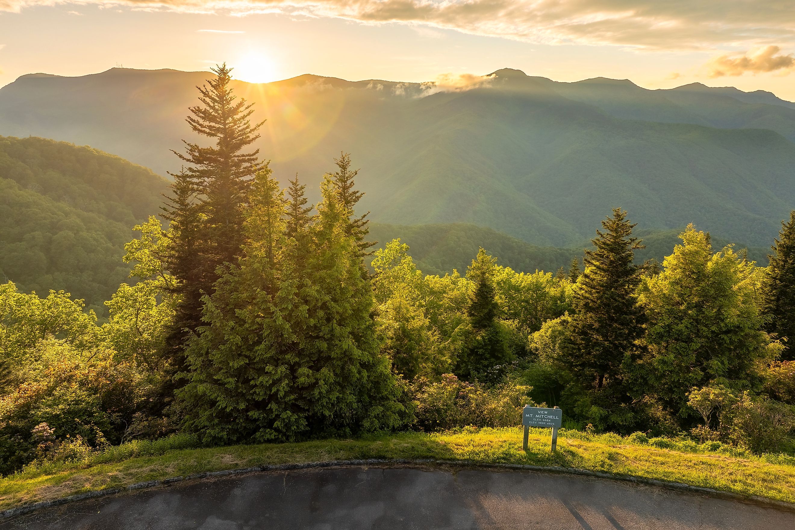
Mount Mitchell

Elevation: 6,684 feet
Location: North Carolina
Mountain Range: Black Mountains (Blue Ridge Mountains)
Mount Mitchell isn’t just the highest mountain in the Appalachians—it’s the highest point east of the Mississippi River. Rising above the Black Mountains of North Carolina, Mount Mitchell claims a climate more akin to southern Canada than the American South. Temperatures remain cool year-round, and the summit is often cloaked in fog, frost, or snow, even in late spring.
Named after University of North Carolina professor Elisha Mitchell, who fell to his death in 1857 while trying to confirm its height, the mountain holds deep scientific and historical significance. Mitchell’s body is interred at the summit, where a stone marker and observation platform now stand.
Mount Mitchell is the centerpiece of Mount Mitchell State Park, the first state park in North Carolina, established in 1915. Visitors can drive nearly to the top via the Blue Ridge Parkway and NC 128, then hike a short trail to the summit for panoramic views that stretch across the southern Appalachians.
Notable Features:
-
Spruce-fir forest at the summit, rare in the Southeast
-
Observation tower and visitor center
-
Access to the Black Mountain Crest Trail, one of the toughest and most scenic hikes in the region
Mount Craig

Elevation: 6,647 feet
Location: North Carolina
Mountain Range: Black Mountains (Blue Ridge Mountains)
Just over a mile north of Mount Mitchell sits Mount Craig, the second-highest peak in the Appalachians and in the eastern United States. It is named after Governor Locke Craig, who was instrumental in preserving the surrounding land and establishing Mount Mitchell State Park.
Though overshadowed by its slightly taller neighbor, Mount Craig is an essential part of the Black Mountain range and offers more solitude than Mitchell. Hikers can reach its summit via the Deep Gap Trail, a 2-mile round-trip from the Mount Mitchell summit area. The trail winds through dense red spruce and Fraser fir forest and offers frequent breaks in the canopy with glimpses of the rugged surrounding ridgelines.
Unlike many Appalachian peaks, Mount Craig’s summit remains largely untouched by human development, allowing it to retain a remote and pristine feel, despite its proximity to the state park.
Notable Features:
-
Part of the state’s protected lands within Mount Mitchell State Park
-
Accessible only by foot
-
Close proximity to Mount Mitchell makes it ideal for dual summiting
Clingmans Dome

Elevation: 6,643 feet
Location: Tennessee–North Carolina border
Mountain Range: Great Smoky Mountains
Located along the Tennessee–North Carolina border, Clingmans Dome is the highest point in the Great Smoky Mountains and the third-highest peak in the Appalachian chain. It is also the tallest point along the Appalachian Trail, drawing thousands of thru-hikers, sightseers, and weather watchers each year.
The summit features a concrete observation tower built in 1959, providing unobstructed 360-degree views that, on a clear day, can stretch over 100 miles. However, due to frequent cloud cover and moisture from the Smokies’ rainforest-like environment, the summit is often enveloped in mist.
Clingmans Dome is easily accessible via a 7-mile scenic spur road off Newfound Gap Road (US 441), which itself crosses the Appalachian Trail. A paved but steep half-mile path leads from the parking area to the summit tower, making it one of the most accessible high-elevation experiences in the Eastern US.
Notable Features:
-
Iconic observation tower at the summit
-
Gateway to the Appalachian Trail and several side trails
-
One of the wettest and most ecologically diverse regions in the country
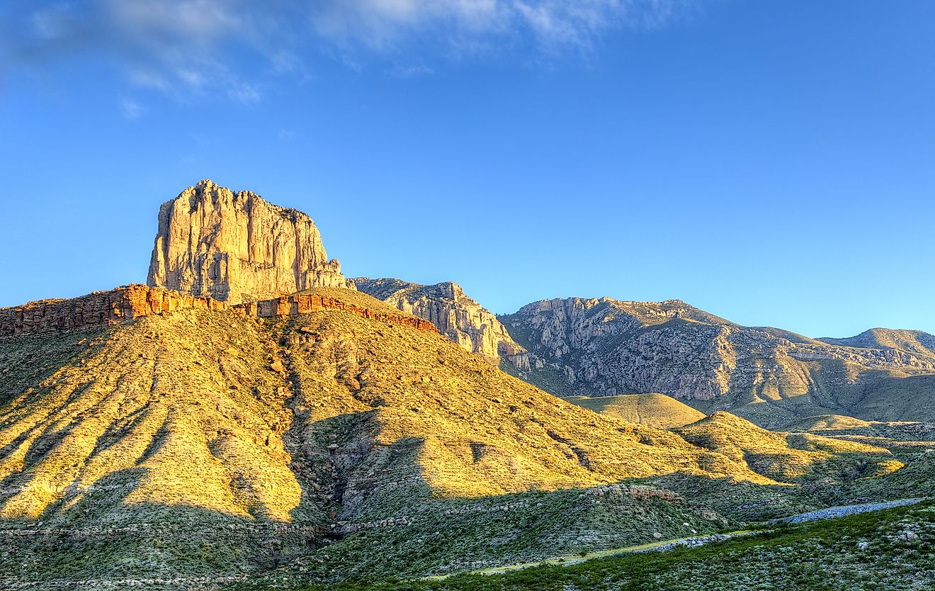
Mount Guyot

Mount Guyot and Mount Chapman viewed from Clingmans Dome. Editorial credit: Thomson200, CC0, via Wikimedia Commons
Elevation: 6,621 feet
Location: Tennessee–North Carolina border
Mountain Range: Great Smoky Mountains
While Clingmans Dome draws most of the visitors in the Smokies, Mount Guyot remains largely untouched and overlooked. Named for Swiss-American geographer Arnold Guyot, this peak ranks fourth among Appalachian summits and second within the Smoky Mountains.
Unlike its more developed neighbors, Mount Guyot is remote, rugged, and only accessible via a network of long backcountry trails. The summit itself has no road access, observation decks, or paved paths. Reaching the peak typically involves multi-day backpacking routes via trails like the Appalachian Trail, Baxter Creek, or Snake Den Ridge Trail.
The summit is forested, lacking wide-open views, but the surrounding ridgelines and wilderness offer a sense of true solitude and wildness. For those seeking a less commercialized experience of the Southern Appalachians, Mount Guyot is one of the region’s last unspoiled giants.
Notable Features:
-
One of the least-visited high peaks in the Smokies
-
Accessible only through backcountry trails
-
High-elevation spruce-fir forest habitat
Balsam Cone

Elevation: 6,611 feet
Location: North Carolina
Mountain Range: Black Mountains (Blue Ridge Mountains)
Rounding out the list is Balsam Cone, yet another peak in North Carolina’s Black Mountains. With an elevation just 73 feet below Mount Mitchell, Balsam Cone is the third peak in this subrange to rank in the Appalachian top five.
Accessible via the Black Mountain Crest Trail, Balsam Cone sits along a dramatic ridgeline north of Mount Craig. The trail to the summit passes over steep knobs and dense spruce-fir forest, making it a strenuous but rewarding journey. Like its neighbors, Balsam Cone is part of the rugged, undeveloped backcountry surrounding Mount Mitchell.
Though less prominent than Mount Craig or Mount Mitchell, Balsam Cone holds its own as a high-elevation habitat and a landmark for serious hikers aiming to bag the region’s tallest summits.
Notable Features:
-
No developed facilities or roads
-
Accessible by the Black Mountain Crest Trail
-
Rugged alpine forest ecosystem
Why These Peaks Matter

The highest mountains in the Appalachians might not compete with the towering summits of the Rockies or Sierra Nevada in terms of absolute height, but their ecological and geological significance is profound. Each of these five peaks:
-
Supports unique spruce-fir forests, a relic of the last Ice Age, found almost nowhere else in the southeastern US.
-
Acts as a refuge for rare and endangered species, including high-elevation salamanders, birds, and mosses.
-
Offers insight into one of the world’s oldest mountain ranges, shaped by hundreds of millions of years of uplift and erosion.
These mountains are also cultural touchstones used for navigation, storytelling, and spiritual inspiration for generations. From Cherokee traditions to modern conservation efforts, the tallest peaks of the Appalachians continue to hold meaning for the people who live near them.
Planning a Visit

For those interested in experiencing the high country of the Southern Appalachians, here are a few tips:
-
Best Time to Visit: Late spring through early fall offers the best access to trails, but summer brings crowds. Winter access is limited due to snow and ice.
-
What to Bring: Weather changes quickly at high elevations. Bring layers, rain gear, and plenty of water—even on short hikes.
-
Respect the Environment: Stay on marked trails, pack out trash, and avoid disturbing fragile alpine ecosystems.
-
Safety Note: Some trails, like the Black Mountain Crest Trail or the approach to Mount Guyot, are challenging and suitable only for experienced hikers.
Peaks of Purpose and Persistence
The five highest mountains in the Appalachians aren’t just points on a topographic map—they’re reminders of the natural power and quiet endurance that define this region. Shaped by ancient tectonics and softened by time, these peaks are among the most biologically rich and geologically complex places in eastern North America.
Whether you stand atop Mount Mitchell’s observation deck or hike the remote ridges of Mount Guyot, each summit offers a glimpse into a deeper, older world. They’re not just the tallest—they’re the most enduring symbols of Appalachia.