Los Padres National Forest
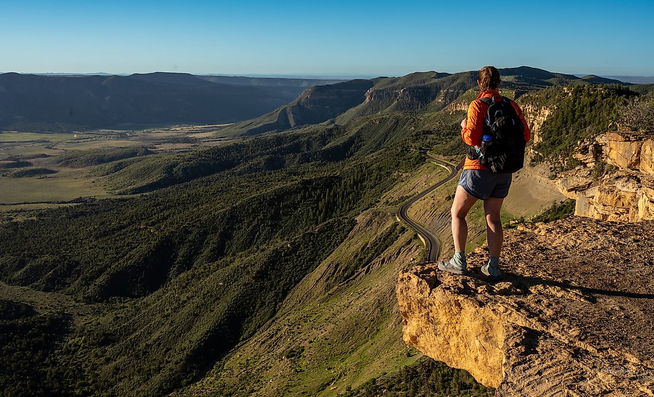
Los Padres National Forest covers a staggering slice of Southern and Central California, a rugged sweep of mountains, canyons, and coast that stretches for nearly 220 miles. Elevations swing from tide pools at sea level to 8,847 feet at the top of Mount Pinos. The result is one of the most diverse national forests in the western United States, packed with trails, wildlife, hidden campgrounds, and views that feel untouched even though millions live just beyond its borders.
Los Padres often plays second fiddle to the state’s more famous outdoor landmarks, yet it quietly delivers some of the most impressive landscapes in California. The forest’s size alone is striking. Nearly 3,050 square miles fall within its boundaries, and almost 88 percent of that land is publicly owned. It is wild country in the truest sense, carved into two major divisions that function like entirely separate worlds.
The northern portion rises above Big Sur, feeding waterfalls, towering redwoods, and deep canyons. The southern portion rolls across several counties, building into the Santa Ynez Mountains, the San Rafael Mountains, La Panza Range, and the stark ridgelines above Ventura. Together, these areas form a massive outdoor playground that draws hikers, backpackers, naturalists, and anyone drawn to wide open spaces.
Two Forests, One Name

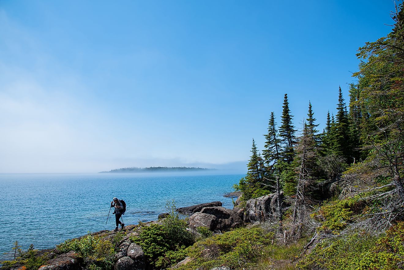
Los Padres is divided into two disconnected regions split by roughly 45 miles of private land. The northern block includes the storied Big Sur Coast, an area known for steep cliffs that plunge into the Pacific, winding mountain roads, and some of the most beautiful terrain in the country. More than 323 miles of trails trace this section of the forest, along with 11 campgrounds that range from remote backcountry outposts to established facilities that can accommodate RVs.
The southern section is much larger and spans San Luis Obispo, Santa Barbara, Ventura, Kern, and a sliver of Los Angeles County. Here, the Santa Ynez Mountains rise like a wall above the Gaviota Coast. This stretch of shoreline is one of the last remaining undeveloped coastal regions in Southern California. Inland, dozens of other ranges fold into one another, creating a maze of high peaks, long valleys, and shadowy canyons.
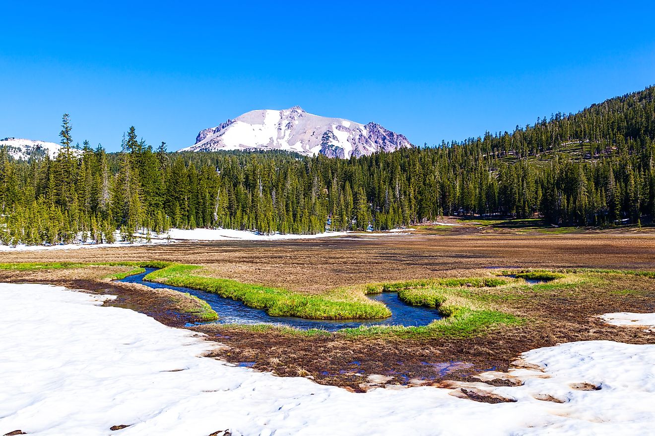
The terrain changes fast as elevations climb. One moment the landscape is thick with chaparral. A few thousand feet higher, Jeffrey pines and white fir begin to dominate. Old growth redwoods survive in scattered groves near Big Sur. Higher ridges near Mount Pinos support conifers and broad forests that glow gold in late afternoon sun.
Rivers That Begin in the Wildest Places

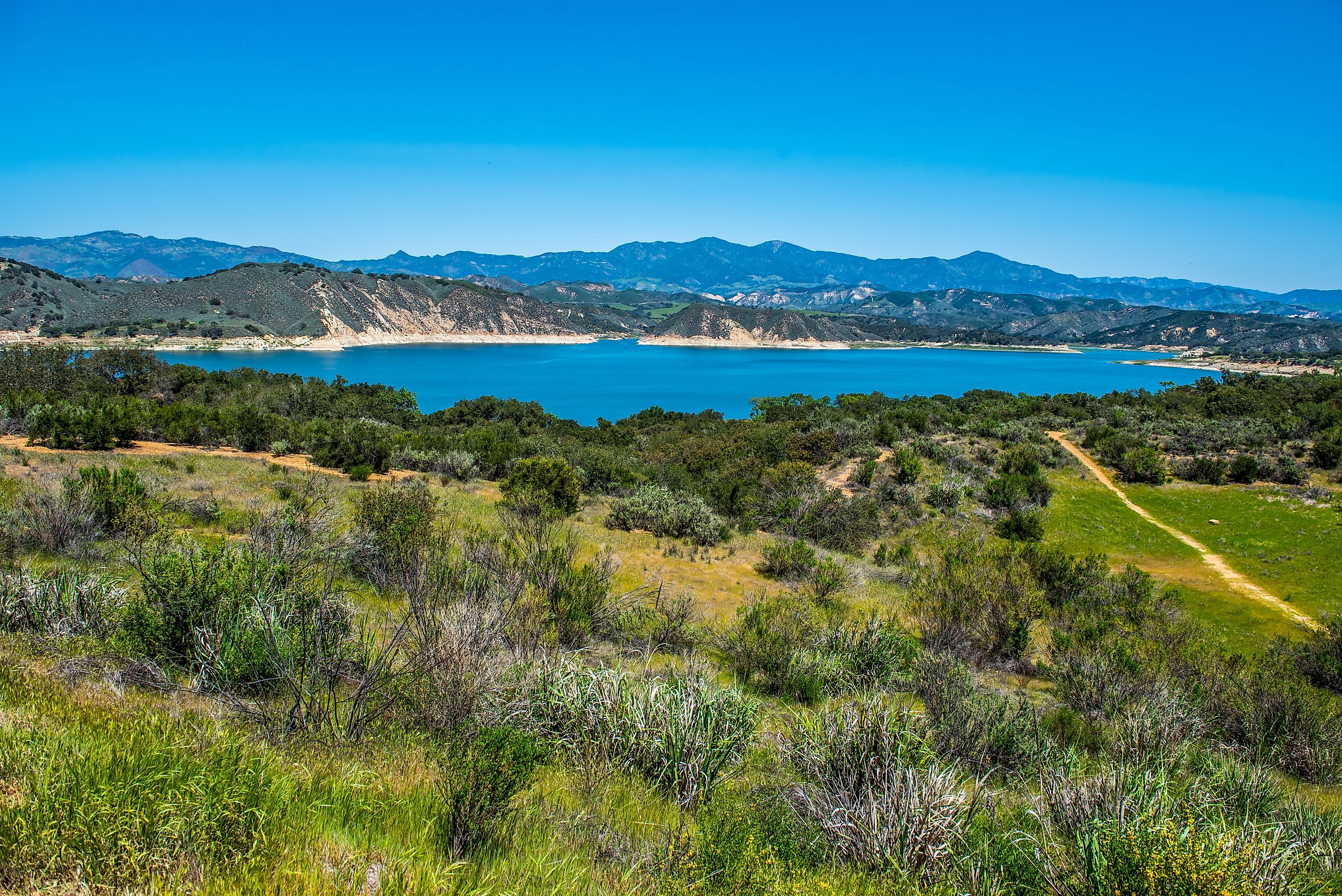
Many major rivers in the region spring to life inside Los Padres National Forest. The Carmel, Salinas, Santa Ynez, Sisquoc, Sespe, Ventura, and Piru Rivers trace their origins to mountain slopes and high valleys protected within the forest. These waterways carve deep corridors that support wildlife and rare plants, and they offer cool respite in summer.
Some, like the Sespe River, flow through designated wilderness, creating long, remote stretches ideal for backcountry exploration. Others wind toward the coast, feeding fertile plains or carving quiet swimming holes.
Half the Forest Is Wilderness

A massive 48 percent of Los Padres carries official wilderness designation. These protected regions lock out development and preserve some of the most pristine terrain in California.
Notable Wilderness Areas in Los Padres
-
San Rafael Wilderness: One of the earliest additions to the national wilderness system, covering more than 300 square miles of rugged mountains and canyons.
-
Ventana Wilderness: A sprawling stretch of the Santa Lucia Mountains, known for steep ridges, coastal views, and redwood-lined creeks.
-
Sespe Wilderness: More than 340 square miles across the Ojai and Mount Pinos Ranger Districts, full of rocky outcrops and the habitat critical for California condors.
-
Silver Peak, Santa Lucia, Matilija, Garcia, Dick Smith, Machesna Mountain, and Chumash Wilderness Areas: Each with unique terrain, rare plants, and trails that reward those who prefer quieter paths.
Wildlife That Defines the Forest

Los Padres supports a collection of wildlife found only in select parts of the West. The California condor is the most famous, with the Sespe and Sisquoc Condor Sanctuaries established to help protect the species after it hovered on the brink of extinction. Seeing a condor soar above the mountains is a rare and powerful moment.
Other species thrive in its sprawling habitat. Mountain lions move across ridges with ease. Mule deer graze across meadows and hillsides. American black bears forage for berries and acorns. Coyotes, bobcats, foxes, raccoons, and rabbits fill the lower elevations. Raptors circle high above the canyons, and quail scatter along trails. The mix of ecosystems packed into one forest supports an impressive number of birds, reptiles, and mammals.
A Living Laboratory of Vegetation

Ecologists often view Los Padres as a living reference point for understanding plant diversity across California’s central and southern coastal regions. Chaparral blankets most slopes below 5,000 feet. Above that, conifer forests become more dominant. Old growth pockets still exist, including Jeffrey pine stands and scattered redwoods along the Big Sur Coast.
These forests are shaped by fire cycles, seasonal drought, and rugged topography. Each factor influences the plant communities that take hold after fire or rain. Research continues across the forest, especially in areas where old trees survive on isolated ridges.
The Forest and Fire

Los Padres has a long history of wildfire since much of its terrain dries out through summer and fall. Some fires have become part of the region’s lore. Johnny Cash accidentally started a blaze in 1965 that burned several hundred acres. The Marble Cone Fire of 1977 scorched more than 178,000 acres. The Basin Complex Fire in 2008 burned nearly 163,000 acres in Big Sur.
More recent fires, including the massive Thomas Fire of 2017, have reshaped mountainsides and communities. That fire grew so intense it generated its own weather. In 2025, a series of smaller blazes merged into the Gifford Fire east of Santa Maria, pushing firefighters into difficult country where bulldozers could not reach the terrain.
The Forest Service uses prescribed burns under specific weather conditions to manage fuel buildup. Controlled burns help reduce the risk of large wildfires while supporting natural fire cycles that many ecosystems depend on.
How to Explore Los Padres National Forest

The size of Los Padres means there is no single entry point or unifying way to experience it. Each region offers its own style of adventure.
Recreation Areas
The forest contains designated recreation hubs that offer easier access, maintained trails, and group facilities.
-
Figueroa Mountain Recreation Area: Known for spring wildflowers and wide views across the San Rafael Mountains.
-
Sage Hill Group Recreation Area: A favorite for group camping near the Santa Ynez River.
-
Santa Ynez Recreation Area: Close to Santa Barbara, offering picnic areas, river access, and trailheads.
Trails to Know
The forest includes hundreds of miles of trails, including:
-
Sections of the Big Sur coast trails
-
Routes into remote wilderness canyons
-
High-elevation hikes near Mount Pinos
-
Long river trails near the Sisquoc and Sespe watersheds
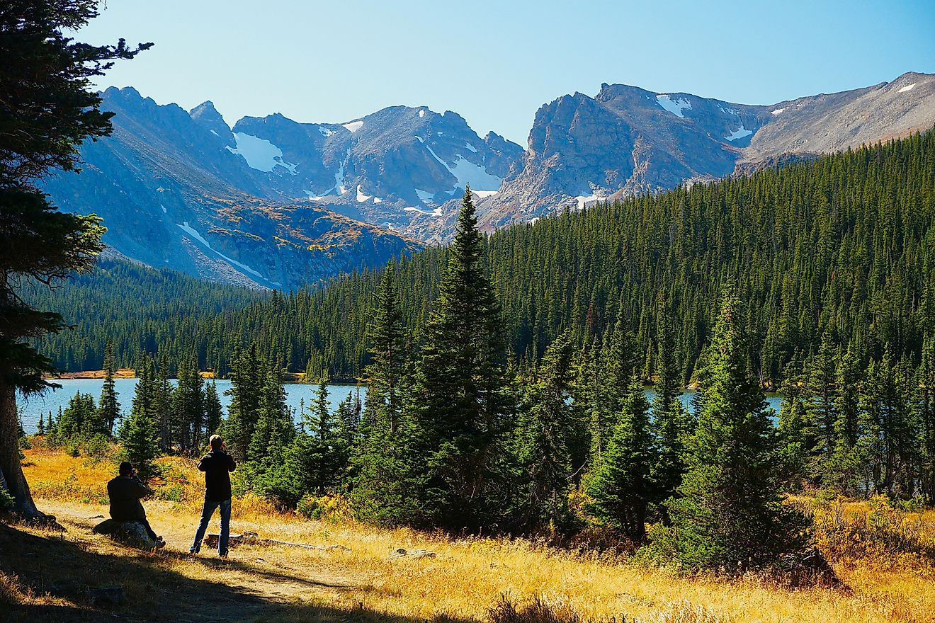
Backpackers often head into the Ventana Wilderness, while day hikers flock to overlooks above Santa Barbara or ridgelines near Ojai.
Camping and Passes
A National Forest Adventure Pass is required for parking in most of the southern portions of the forest. The Monterey Ranger District does not require one, making Big Sur exploration a bit simpler. Campgrounds range from rugged walk-in sites to locations that can accommodate larger vehicles.
Seasonal fire restrictions are common due to high fire risk. Some areas close entirely during peak fire season, which usually runs from early June to mid-November.
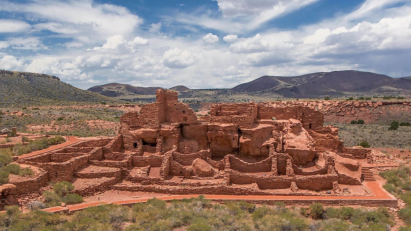
Human History Across the Forest

Before it carried the name Los Padres, this forest consisted of several smaller national forests. These lands reflect centuries of cultural history. The name Los Padres honors the missionary priests who established missions across the region in the 18th and 19th centuries. The forest’s administrative identity evolved through mergers, public input, and regional debate, finally taking on its current name in 1936.
Today, ranger district offices operate in Goleta, Santa Barbara, King City, Ojai, Santa Maria, and Frazier Park. Each region interacts with the forest differently, creating a patchwork of local culture and outdoor tradition that reflects the diversity of California’s central and southern coast.
A Forest Built on Contrast

Los Padres National Forest feels like a study in extremes. Coastal fog meets high-desert heat. Redwood groves appear just miles from chaparral slopes. Wildlife ranges from bighorn sheep to condors to mountain lions. Trails shift from wide, popular routes to narrow, remote pathways that rarely see much foot traffic. The forest’s size and variety allow countless kinds of adventures.
Anyone drawn to big landscapes finds no shortage of stories here. A single day might include canyon shadows, sunlit ridges, and ocean views that stretch into the afternoon haze. Even its fires, storms, and shifting ecosystems tell an ongoing story about resilience and renewal.
A Wild Landscape That Never Stops Evolving

Los Padres National Forest stands as one of California’s largest and most remarkable open spaces, a sweeping mix of rugged mountains, coastal ridgelines, and deep canyons shaped by fire, wind, and centuries of shifting climate. The terrain changes quickly, creating a sense of land that feels both ancient and always in motion. Trails cut through vast wilderness areas where condors soar, old forests hold on, and quiet valleys stretch for miles. Wildlife, geology, and history intersect in a setting that continues to show just how untamed California remains.