The Longest Hiking Trails in America
America is home to some of the longest and most challenging hiking trails in the world, spanning deserts, mountains, forests, and coastlines. These trails offer more than just distance. They connect hikers with history, wildlife, and landscapes that range from serene woodlands to rugged peaks. Some take months to complete, while others can be explored in shorter sections, giving everyone a chance to experience the adventure. Here are the longest hiking trails in the United States, measured by miles and defined by their routes.
North Country Trail

Length: 4,600 miles
Location: New York, Pennsylvania, Ohio, Michigan, Wisconsin, Minnesota, North Dakota, South Dakota, Montana
The North Country Trail, or NCT, is the longest of the National Scenic Trails in the United States, stretching over 4,600 miles from Crown Point, New York, near Lake Champlain, to Lake Sakakawea in North Dakota. It passes through eight states: New York, Pennsylvania, Ohio, Michigan, Wisconsin, Minnesota, and North and South Dakota.
The trail was officially designated in 1980 and is part of the National Trails System. Volunteers and local trail associations have been instrumental in maintaining and expanding its route. The NCT passes through national forests, state parks, and scenic river valleys, offering hikers opportunities to experience both rugged and serene environments. In Michigan, hikers can explore dense northern hardwood and conifer forests, while in the Dakotas, the trail stretches across open prairie and rolling plains. Along the route, hikers encounter rivers, lakes, historic sites, and cultural landmarks, highlighting the natural and human history of the region.
Because the trail moves through smaller towns and rural areas, hikers have frequent access to local communities for resupply, lodging, and cultural experiences. Wildlife is abundant, with sightings of white-tailed deer, black bears, beavers, and numerous bird species. The trail also passes by several notable protected areas, including the Chequamegon-Nicolet National Forest in Wisconsin and the Finger Lakes region of New York.
Hiking the NCT can be done as a full thru-hike, which requires careful planning and months of dedication, or in sections, making it accessible for day hikers and weekend adventurers.
Continental Divide Trail

Length: 3,100 miles
Location: Montana, Idaho, Wyoming, Colorado, New Mexico
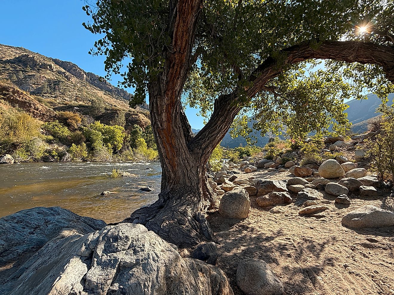
The Continental Divide Trail, or CDT, stretches approximately 3,100 miles along the Continental Divide, linking the Canadian border in Montana to the Mexican border in New Mexico. Officially designated as a National Scenic Trail in 1978, the CDT was developed to provide hikers with a continuous route along the backbone of the Rocky Mountains, highlighting the dramatic landscapes and ecological diversity of the region.
The trail passes through five states: Montana, Idaho, Wyoming, Colorado, and New Mexico. Hikers navigate rugged mountain passes, alpine meadows, dense forests, and wide-open plains, experiencing a wide range of climates and conditions. From the snow-covered peaks of the northern Rockies to the arid deserts of southern New Mexico, the trail challenges even the most experienced hikers.
Wildlife is abundant along the CDT, including elk, bighorn sheep, black bears, and occasional grizzly bear sightings in Montana. Birdwatchers can spot golden eagles, peregrine falcons, and a variety of waterfowl near alpine lakes. The trail is largely remote, requiring hikers to carry supplies and plan resupplies carefully. Historic sites, old mining towns, and backcountry cabins offer glimpses into the human history intertwined with the wilderness.
The CDT is known for its flexibility, with multiple route options in certain sections, allowing hikers to choose between longer, high-elevation paths or lower, less strenuous alternatives. This makes each journey along the trail unique. Whether tackling the entire route in one ambitious thru-hike or exploring sections over time, the Continental Divide Trail offers unmatched solitude, stunning scenery, and an authentic connection to the American West.
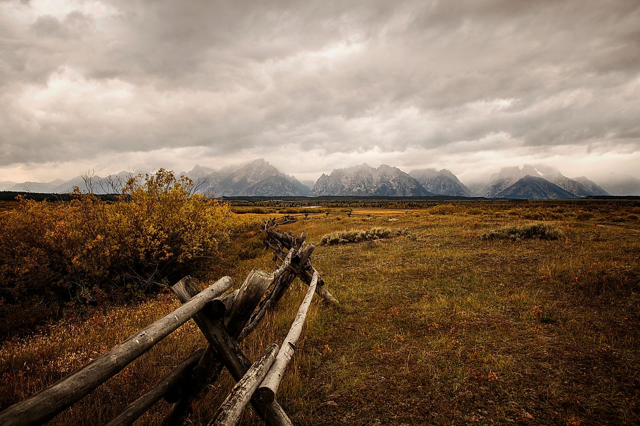
Pacific Crest Trail

Length: 2,650 miles
Location: California, Oregon, Washington
The Pacific Crest Trail, or PCT, stretches over 2,650 miles from the Mexican border in California to the Canadian border in Washington, passing through California, Oregon, and Washington. Its route takes hikers through deserts, the Sierra Nevada, and the Cascade Range, showcasing some of the West’s most dramatic and diverse landscapes.
The trail was officially designated in 1968, but its planning began decades earlier, led by outdoor enthusiasts and trail advocates who wanted a continuous route linking the mountains of the western United States. Along the trail, hikers encounter high-altitude passes, alpine lakes, volcanic peaks, dense forests, and arid desert basins. Wildlife sightings are frequent and include black bears, mountain lions, mule deer, and dozens of bird species.
The PCT is divided into distinct sections: the Southern California desert, the Sierra Nevada, and the Northern Cascades. Each section presents its own challenges and rewards, from desert heat and limited water sources to snow-covered mountain passes. Hikers can attempt the full trail in a single thru-hike or tackle it in sections over multiple years. Towns and resupply points along the route provide vital resources, while trail shelters, campsites, and ranger stations offer both rest and safety.
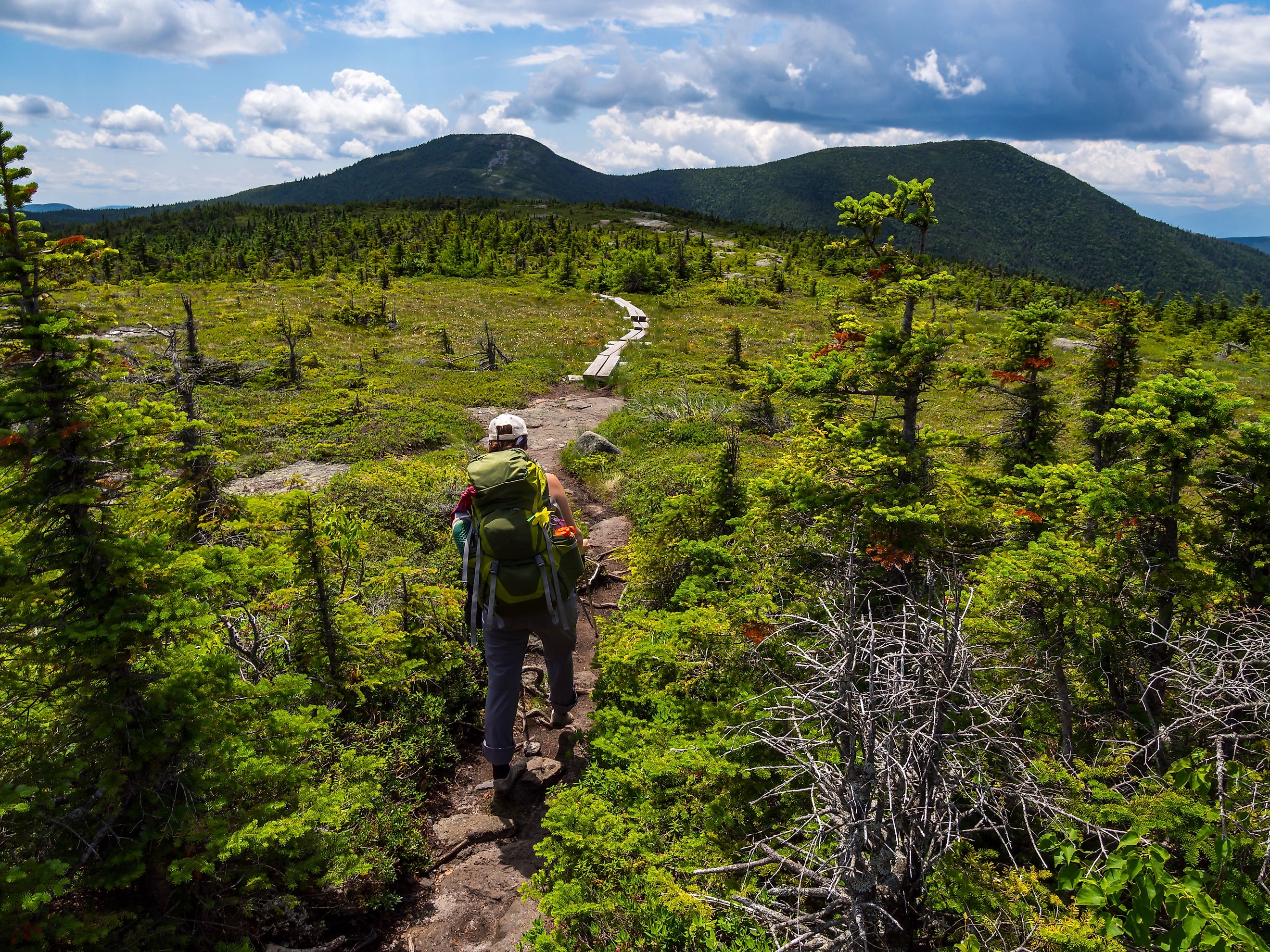
Appalachian Trail

Length: 2,200 miles
Location: Georgia to Maine
The Appalachian Trail, or AT, is perhaps the most famous long-distance trail in the country. Stretching from Springer Mountain, Georgia, to Mount Katahdin, Maine, it passes through 14 states and covers roughly 2,190 miles. Hikers experience a remarkable range of terrains, from the rolling Blue Ridge Mountains to the misty Great Smoky Mountains and the rugged peaks of the White Mountains. Wildlife sightings are common and include black bears, white-tailed deer, and numerous bird species, making each hike a chance to connect deeply with nature.
Conceived in the 1920s by forester Benton MacKaye, the trail was completed in 1937 and quickly became a symbol of conservation and outdoor recreation. Its creation reflected a vision for a continuous corridor of wilderness where people could escape urban life and immerse themselves in natural landscapes. The AT has since been maintained and improved by generations of volunteers, who help protect the trail’s ecological health while preserving its historic character.
While some hikers attempt as a thru-hike, many enjoy section hikes that fit their schedules and skill levels. The trail is dotted with shelters, small towns, and natural landmarks, offering both solitude and community along its length. It not only provides a physical challenge but also serves as a living connection to generations of hikers and the evolving story of American outdoor exploration.
Florida Trail

Length: 1,300 miles
Location: Florida
The Florida Trail stretches more than 1,300 miles from the Gulf Coast in the panhandle to the Everglades in the south, making it the only long-distance trail in the United States that traverses the full north-south length of a state. Designated as a National Scenic Trail in 1983, it provides hikers with a unique blend of ecosystems, from pine flatwoods and hardwood forests to cypress swamps and coastal hammocks.
Along the trail, hikers encounter a wide variety of wildlife. Alligators sun along slow-moving rivers, wading birds like herons and egrets stalk shallow waters, and freshwater turtles and otters are common sights. Rare species, such as the Florida panther and West Indian manatee, inhabit areas near certain trail sections, offering exceptional opportunities for wildlife observation.
The trail passes through more than 20 state parks, wildlife management areas, and national forests, including the Ocala National Forest, Apalachicola National Forest, and Big Cypress National Preserve. These protected lands offer well-maintained campsites, shelters, and marked paths, making the trail accessible for both thru-hikers and section hikers. Historical and cultural landmarks, including old Seminole Indian sites and remnants of early settlements, provide additional depth to the journey.
Hiking the Florida Trail offers a different kind of challenge compared to mountainous trails. High humidity, frequent rain, and marshy terrain demand preparation, while the flat terrain and abundant water sources make navigation easier. Seasonal variations bring unique experiences, from migratory birdwatching in the winter to lush, green landscapes in the rainy season.
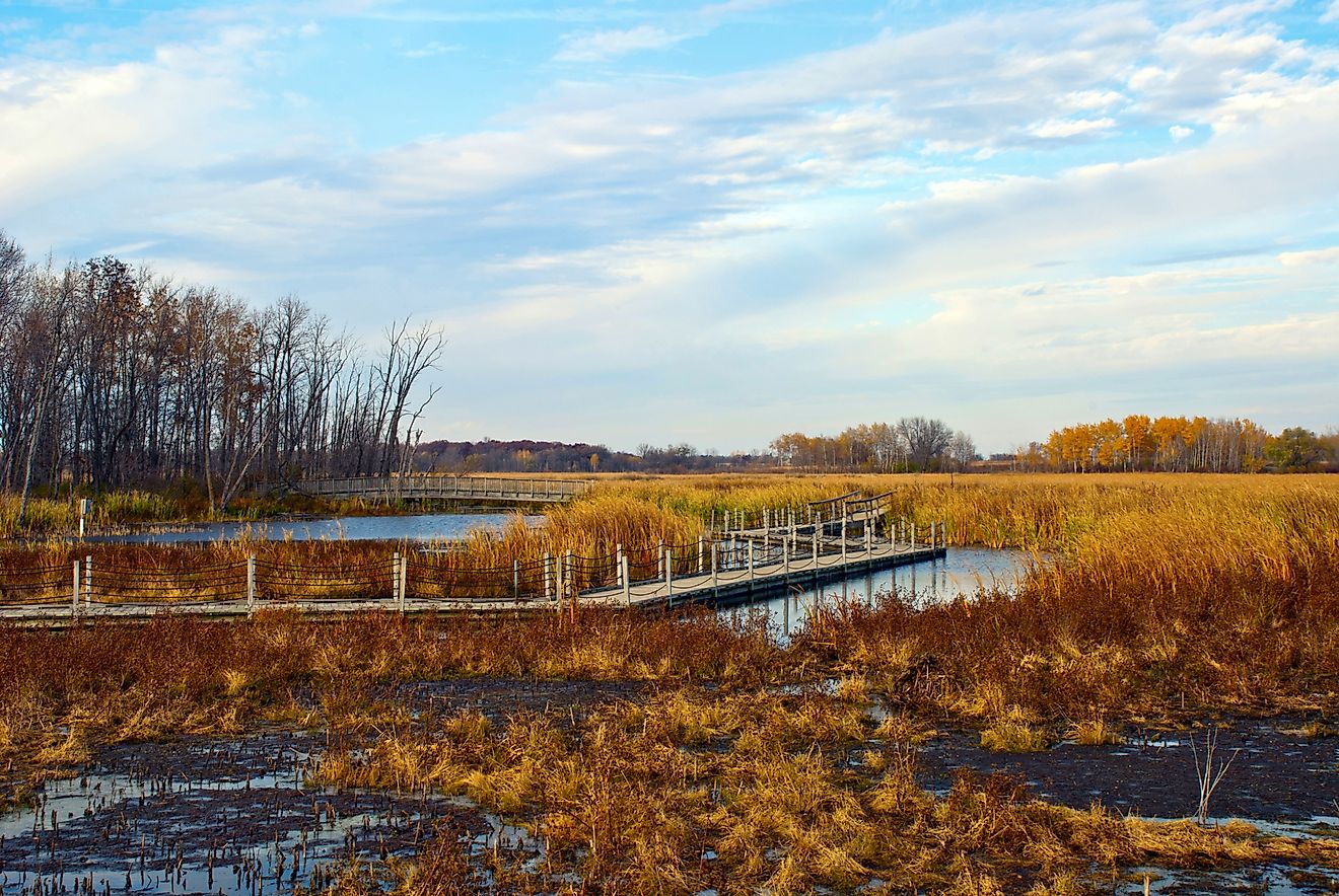
Ice Age Trail

Length: 1,200 miles
Location: Wisconsin
The Ice Age Trail traces the path of glaciers that carved Wisconsin more than 10,000 years ago. Winding through forests, prairies, wetlands, and lakes, it offers a living lesson in the state’s geological history. Glacial moraines, kettles, and erratics dot the landscape, providing hikers with a unique glimpse into the forces that shaped the region. The trail highlights how ancient ice movements created rolling hills, fertile valleys, and dramatic rock formations still visible today.
Along the trail, hikers enjoy scenic overlooks, quiet woodlands, and stretches of farmland and small towns that showcase Wisconsin’s rural character. Wildlife is abundant, including white-tailed deer, red foxes, and numerous songbirds and raptors. Seasonal changes bring added variety, with spring wildflowers, autumn foliage, and winter snow providing distinct experiences along different sections.
The trail is divided into more than 600 miles of interconnected sections, allowing visitors to plan short day hikes or tackle longer multi-day treks. Interpretive signage, visitor centers, and trail guides enhance the experience, offering insight into the natural history and glacial geology of the region. The Ice Age Trail is not only a scenic hiking destination but also an outdoor classroom that connects hikers to Wisconsin’s past while promoting conservation and appreciation for its landscapes.
Final Thoughts

America’s long-distance hiking trails offer a spectrum of adventure for both seasoned and casual hikers. From the remote peaks of the Continental Divide to the wetlands of Florida, these trails provide a unique way to experience the natural and cultural diversity of the United States. Whether hikers choose a section or attempt a full thru-hike, the reward is an immersive journey through some of the country’s most remarkable landscapes.
Trail Comparison Chart
| Trail | Length (miles) | Location | Notable Features |
|---|---|---|---|
| Appalachian Trail | 2,200 | Georgia to Maine | 14 states, shelters, Appalachian Mountains |
| Pacific Crest Trail | 2,650 | CA, OR, WA | Deserts, Sierra Nevada, Cascade Range |
| Continental Divide Trail | 3,100 | MT, ID, WY, CO, NM | Rocky Mountains, remote, diverse ecosystems |
| North Country Trail | 4,600 | NY to ND | Lakes, forests, towns, varied terrain |
| Ice Age Trail | 1,200 | Wisconsin | Glacial features, prairies, forests |
| Florida Trail | 1,300 | Florida | Wetlands, Everglades, wildlife refuges |