Isle Royale National Park
Far out in the icy waters of Lake Superior sits Isle Royale National Park, a place unlike any other in America’s national park system. Rugged, remote, and refreshingly wild, this island stretches 45 miles long and 9 miles wide, surrounded by more than 400 smaller islands. You cannot drive here or stumble upon it on a road trip. Reaching Isle Royale requires a boat or a floatplane, making every visit a deliberate adventure into raw wilderness.
Although it belongs to Michigan, Isle Royale feels worlds apart. It is actually closer to Minnesota and Canada than Michigan’s mainland. With no roads or towns, the island is shaped by the sounds of crashing waves, calling loons, and boots crunching across rocky trails. Its isolation has made it one of the least-visited national parks, drawing fewer than 26,000 people a year. For those who do make the trip, the reward is an experience unlike anywhere else in the country.
A Protected Island With a Layered History

Isle Royale National Park was created in 1940 to safeguard this remote landscape of forest, ridges, and shoreline. In 1976, Congress strengthened its protection by designating it a wilderness area. Four years later, UNESCO named it an International Biosphere Reserve, and in 2019, the entire island chain was added to the National Register of Historic Places as the Minong Traditional Cultural Property, honoring its Indigenous heritage.
Because of these layers of protection, Isle Royale has remained largely untouched. Visitors today walk the same forests and shorelines that Indigenous communities and early settlers once knew. Its isolation has turned it into both a haven for wildlife and a living ecological laboratory.
A Giant Island in a Giant Lake

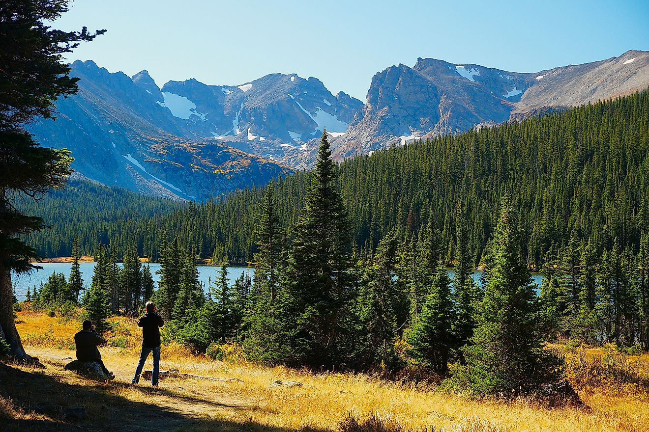
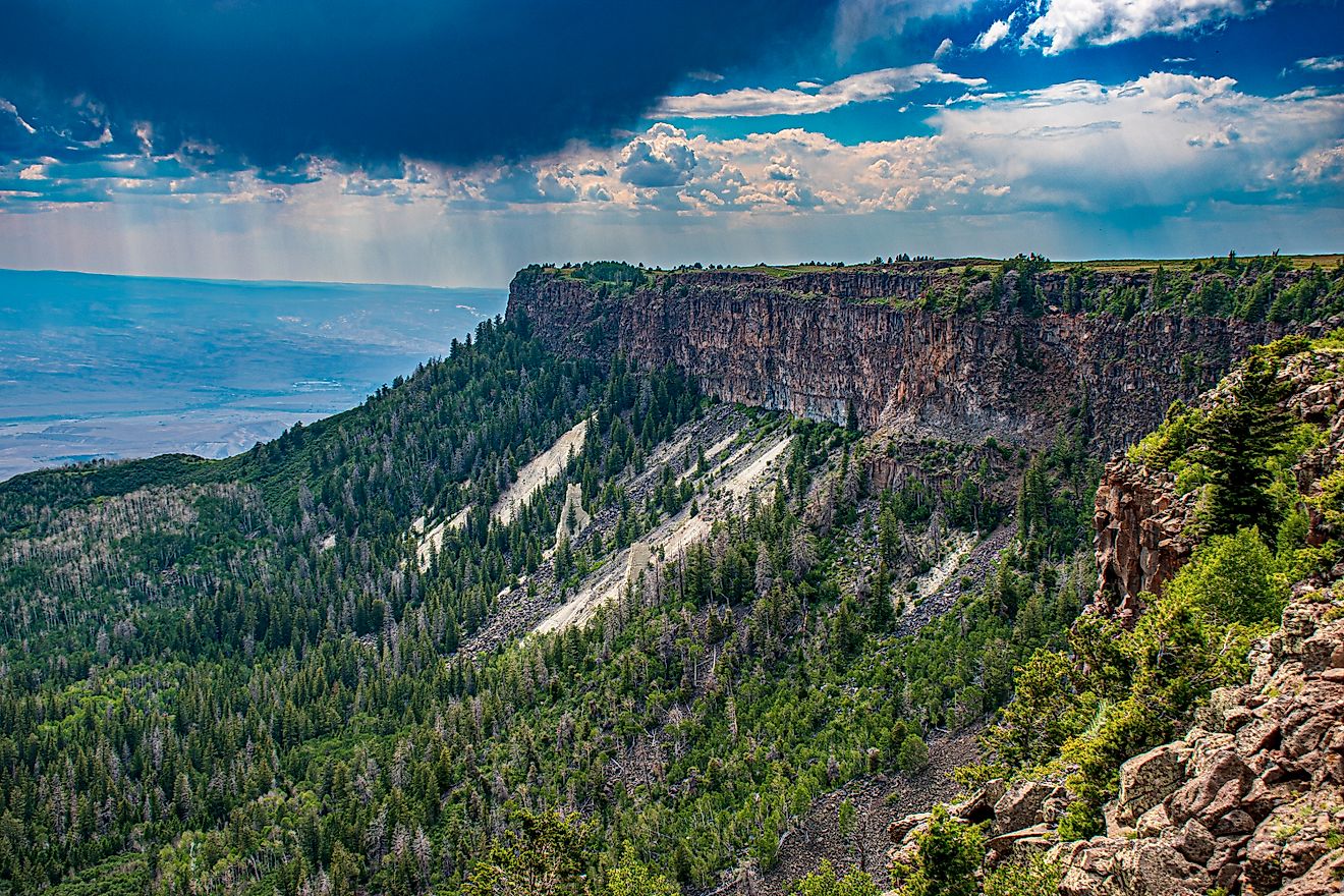
At 206 square miles, Isle Royale is the largest natural island in Lake Superior and the fourth largest lake island in the world. Only Canada’s Manitoulin Island surpasses it among the Great Lakes. The park’s highest point, Mount Desor, rises 1,394 feet and offers sweeping views of the lake and the smaller islands scattered offshore.
Running almost the entire length of the island, Greenstone Ridge is a backbone of volcanic rock shaped by glaciers. The forests that cover Isle Royale are a mix of spruce, fir, birch, and maple, broken by dozens of inland lakes like Siskiwit and Chicken Bone. Every mile of the landscape tells a story of fire, ice, and water.
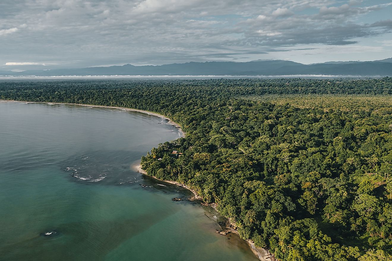
To the north, Isle Royale’s waters border Canada’s Lake Superior National Marine Conservation Area. On clear days, the outline of Ontario can be seen in the distance, underscoring how remote this park truly feels.
Copper, Fish, and Early Settlement

The history of Isle Royale stretches back thousands of years. Archaeological evidence shows that Indigenous people were mining copper here as early as 3,000 B.C. Ancient pits and tools remain scattered across the island, especially near McCargoe Cove. The Ojibwe, who called the island Minong, came here to fish, hunt, and gather resources seasonally.
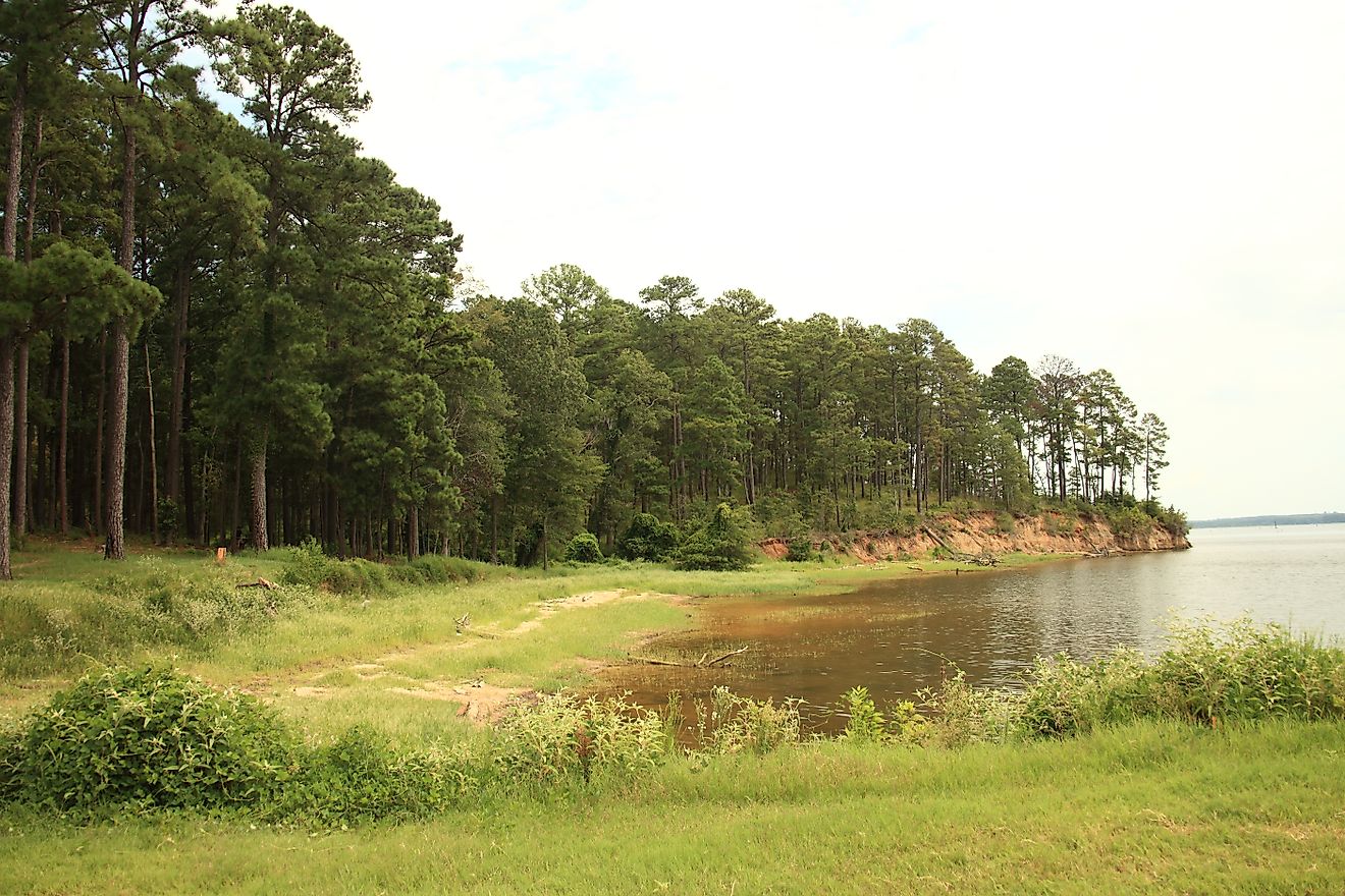
In the 1800s, miners and loggers arrived with dreams of profit. The copper proved difficult to extract at such a remote location, but fishing thrived. Scandinavian immigrants built fisheries along the shore, hauling in lake trout and whitefish. Some of their cabins and net houses still stand, preserved as part of the park’s cultural history.
When Isle Royale was declared a national park, most settlement ended. However, a few families retained lifetime leases on historic cabins, maintaining a direct link to the island’s fishing heritage.
Wolves, Moose, and the Wild Residents

Isle Royale is famous for the long-running study of its wolves and moose, one of the most significant predator-prey research projects in the world. Moose arrived in the early 1900s, likely transported by humans. Wolves crossed the ice decades later in the 1940s. Since then, their populations have risen and fallen dramatically, shaping the balance of the island’s ecosystem.
In recent years, the wolf population nearly collapsed, leading the National Park Service to reintroduce wolves from Minnesota, Michigan, and Ontario. Today, their numbers are recovering, keeping the moose population in check and maintaining ecological balance.
Beyond wolves and moose, the island is home to red foxes, beavers, snowshoe hares, mink, loons, bald eagles, and countless amphibians and reptiles. On rare occasions, a lynx may cross the ice from Canada. Wildlife here is not just abundant but also shaped by the island’s isolation.
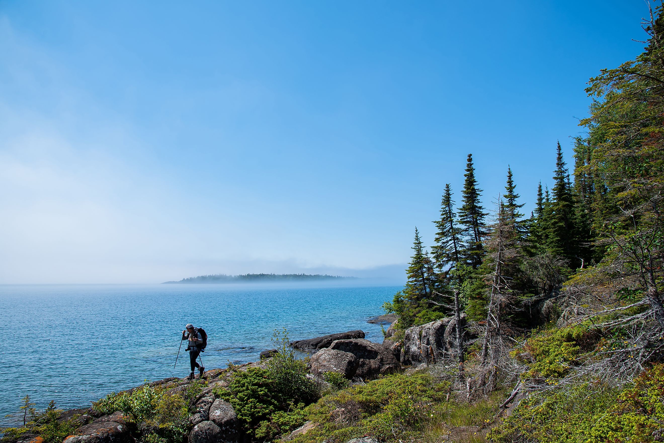
Trails for Every Kind of Adventurer

With more than 170 miles of hiking trails, Isle Royale offers everything from short walks to multi-day backpacking treks. The most famous route is the Greenstone Ridge Trail, which runs 40 miles along the island’s spine. Backpackers typically spend four to five days crossing it, rewarded with sweeping views, quiet forests, and encounters with the island’s lakes and wildlife.
Another favorite is the Feldtmann Loop, a five-day circuit through inland lakes and Lake Superior vistas. For shorter adventures, the Stoll Trail near Rock Harbor is a perfect introduction to the shoreline.
Because of its wilderness designation, hiking here is truly backcountry. Trails are rugged, weather changes quickly, and self-sufficiency is essential. Campgrounds dot the island’s main routes, offering rustic shelters and tent sites.
Sleeping Under Superior’s Stars

Camping defines the Isle Royale experience. The park has 36 designated campgrounds, from lakeside sites accessible by kayak to forest clearings deep in the interior. Most offer screened shelters, tent pads, and pit toilets, but visitors must filter or boil their own water and pack out all waste.
For those who prefer more comfort, Rock Harbor Lodge on the eastern end of the island provides hotel-style rooms with lake views, while camper cabins are available near Ozaagaateng on the western end. Whether you pitch a tent or sleep in a lodge, nights on Isle Royale are filled with starry skies and the sounds of nature.
The Challenge of Getting Here

Getting to Isle Royale is half the adventure. With no roads or bridges, visitors must arrive by ferry, seaplane, or private boat.
-
From Michigan: The Isle Royale Queen IV departs Copper Harbor, reaching Rock Harbor in about three and a half hours. The Ranger III, operated by the National Park Service, sails from Houghton on a six-hour voyage.
-
From Minnesota: The Voyageur II and Sea Hunter depart from Grand Portage, taking about an hour and a half.
-
By air: Seaplanes from Houghton fly into Rock Harbor or Ozaagaateng, offering the fastest way to reach the island.
The park is open only from mid-April through late October. During winter, it is completely closed due to dangerous conditions on Lake Superior.
Beyond the Trail

Hiking may be the star activity, but Isle Royale offers much more:
-
Paddling: Canoeing and kayaking are excellent ways to explore sheltered coves and inland lakes.
-
Fishing: Lake trout, northern pike, and walleye draw anglers to both inland waters and Superior’s shoreline.
-
Scuba diving: Dozens of shipwrecks lie preserved in the cold, clear waters, making Isle Royale a world-class freshwater diving destination.
-
Wildlife watching: From moose grazing in ponds to loons calling at dusk, the island teems with life.
-
Ranger programs: Guided hikes, evening talks, and educational programs bring the park’s history and ecology to life.
America’s Hidden Island Wilderness

Isle Royale National Park is not the kind of destination you stumble into. It takes planning, patience, and a willingness to embrace isolation. Yet those who reach this remote island find a world of pristine forests, glacial lakes, rocky ridges, and untamed wildlife.
This is a park that lingers in memory. It is a place where nature still rules, where history is written in copper pits and fishing cabins, and where solitude feels infinite. For hikers, paddlers, and dreamers, Isle Royale is one of America’s most unforgettable national parks.
Fast Facts About Isle Royale National Park
-
Location: Michigan, in Lake Superior
-
Size: 894 square miles (209 land, 685 water)
-
Main island: 45 miles long, 9 miles wide
-
Highest point: Mount Desor, 1,394 feet
-
Trails: About 170 miles
-
Established: 1940
-
Visitors (2021): 25,894