Grand Mesa National Forest
Western Colorado holds many surprises, but few are as unexpected as Grand Mesa National Forest. Rising abruptly above dry valleys and desert terrain, this vast forest spreads across Mesa, Delta, and Garfield counties and crowns the region with forests, water, and alpine air. Covering more than 346,000 acres, the forest protects most of the Grand Mesa and the southern portion of Battlement Mesa, forming the largest flat top mountain on Earth.
At an average elevation near 10,000 feet, Grand Mesa feels like a world apart. Aspen groves ripple across broad plateaus, hundreds of lakes dot the landscape, and long ridgelines open to views that stretch far across western Colorado. The forest shares borders with White River National Forest to the north and Gunnison National Forest to the east, placing it within one of the most diverse public land regions in the Rocky Mountains.
A Forest Shaped by History and Geology

Grand Mesa National Forest began its official life in 1892 as the Battlement Mesa Forest Reserve, created under President Benjamin Harrison. That designation made it the third forest reserve established in the United States, long before the modern national forest system took shape.
The mesa itself tells a much older story. Lava flows millions of years ago capped softer sedimentary layers, protecting them from erosion while surrounding land wore away. The result is a massive, elevated plateau that rises thousands of feet above nearby valleys. Crater Peak marks the highest point at 11,333 feet, though the true character of the mesa lies in its broad, rolling summit rather than sharp peaks.
Today, the forest is managed by the U.S. Forest Service alongside Gunnison and Uncompahgre National Forests, with ranger district offices in Grand Junction and Delta.
A Landscape Full of Water

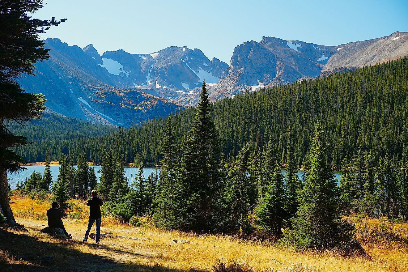
One of the most striking features of Grand Mesa National Forest is water. More than 300 lakes and reservoirs scatter across the plateau, creating an almost improbable contrast against the arid terrain below.
Many of these lakes formed in natural depressions left behind by glacial activity. Others were enhanced or created to support irrigation and recreation. Island Lake and Eggleston Lake rank among the easiest to access and allow motorized boating. Mesa Lake permits electric motors only and Vela Reservoir offers additional motorized access. Trickle Park Reservoir, Big Creek Reservoir, and Sunset Lake support quieter, nonmotorized outings.
More remote waters include Overland Park Reservoir near Paonia and the Weir and Johnson Reservoirs in the eastern forest, rewarding those willing to travel deeper into the plateau.
Wildlife Across Forest and Sky

Grand Mesa National Forest supports a wide range of wildlife thanks to its mix of forests, wetlands, and high elevation meadows. Elk and mule deer roam throughout the plateau. Black bears, pine martens, and cougars move through dense timber. Canadian lynx also inhabit the forest, relying on its cold climate and snowpack.
Bighorn sheep occupy rocky outcrops and open terrain, adding to the diversity of species found here.
Birdlife changes with the seasons. Bald eagles and golden eagles soar above open areas, while boreal owls and Mexican spotted owls remain more elusive within forest cover. Peregrine falcons, wild turkeys, and common ravens round out a list that keeps birdwatchers returning throughout the year.
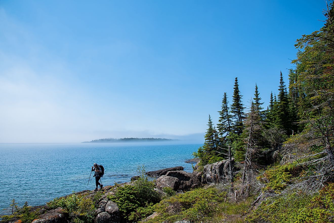
Hiking Trails Above the Valleys

Trail networks across Grand Mesa National Forest range from short walks to demanding full-day routes. Elevation and open terrain deliver sweeping views in many directions.
Crags Crest National Recreation Trail stands out as one of the forest’s signature hikes. This 10-mile loop follows a ridgeline above the mesa, revealing long distance views of surrounding valleys and mountain ranges. The trail climbs gradually and rewards steady pacing rather than technical skill.
Land’s End Observatory offers several shorter options, including the 1/2 mile Land of Lakes Trail. These routes work well for families or anyone seeking big scenery without a long commitment.
Flowing Park Loop near Powderhorn Resort stretches roughly 15 miles across relatively gentle terrain. The trail supports multiple uses and passes through forests and open areas that glow during autumn color season. For a serious challenge, Kannah Creek Trail gains more than 4,000 feet over 16 miles, pushing endurance and preparation.
Fishing Across a High Plateau

Fishing remains one of the forest’s defining activities. Hundreds of lakes and streams support trout populations and offer varied experiences across the mesa.
Bull Creek and the Bull Basin Reservoirs draw consistent attention, though regulations limit tackle and possession on some waters. Kannah Creek, Carson Lake, and Beaver Lake also provide productive options. The western forest holds Grandby Reservoirs 1 through 9 and Coal Creek Basin. The eastern side offers quieter waters such as Overland Park Reservoir, Hubbard Creek, Cow Creek, and Dyke Creek.
State regulations apply throughout the forest, and posted signage outlines special restrictions on select lakes.
Camping Among Lakes and Aspens

Camping across Grand Mesa National Forest ranges from developed campgrounds to dispersed sites along forest service roads. Camps near lakes provide quick access to water activities, while higher elevation sites offer cooler temperatures and sweeping skies.
The forest also maintains two reservable cabins. Black Bear Cabin and Moose Manor Cabin provide rustic shelter during the snow-free season, typically opening between late June and late September. Heavy winter snowfall closes access for much of the year.
Several towns serve as gateways for camping access, including Cedaredge, Collbran, and Mesa.
Biking on Roads and Trails

Cyclists find a wide range of options across the mesa. Road riders often choose the Grand Mesa Scenic Byway, tackling long climbs followed by extended descents with expansive views. The detour to Land’s End Observatory adds another layer of challenge on unpaved terrain suitable for wider tires.
Mountain biking thrives along routes such as County Line Trailhead, which features rolling terrain and vibrant foliage in early fall. West Bench Trail provides smooth flow and connections to the Powderhorn bike network. Mesa Top Trail and Flowering Park Loop offer longer rides.
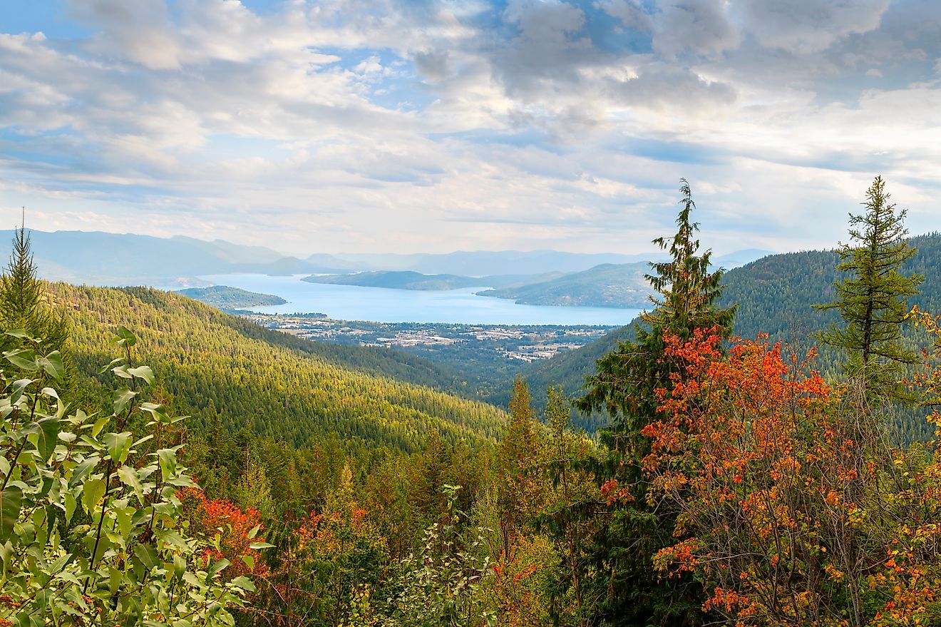
Scenic Drives Across the Mesa

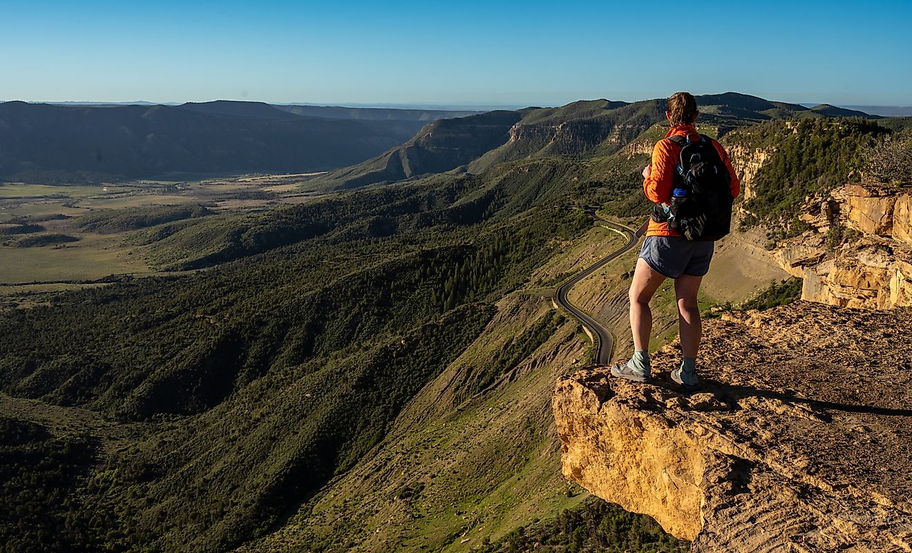
The Grand Mesa Scenic Byway stretches 63 miles between Cedaredge and Interstate 70 near Mesa. The route climbs steadily from valley floors to elevations above 11,000 feet, passing lakes, campgrounds, and trailheads along the way. An 11-mile side road reaches Land’s End Observatory, where views plunge thousands of feet toward the Colorado River corridor.
Old Grand Mesa Road provides another north-south crossing. The dirt surface remains well maintained during summer months and works with standard vehicles when driven carefully.
Autumn transforms these drives into corridors of gold as aspens change color across the plateau.
Winter on the World’s Largest Flat Top

Snow reshapes Grand Mesa National Forest into a winter playground. Cross-country ski trails line sections of the scenic byway, and snowmobiling opens access to deeper areas of the forest. The Sunlight Powderhorn Trail alone connects more than 180 miles of snowmobile routes.
Powderhorn Mountain Resort sits along the southern edge of the mesa, offering downhill skiing and riding without the crowds common at larger resorts. Cold temperatures and consistent snowfall support light, dry conditions.
Frozen lakes along the byway may support ice fishing and skating when conditions allow.
A Forest of Contrasts

Grand Mesa National Forest stands as one of Colorado’s most dramatic contrasts. Desert valleys give way to forests and lakes with little warning, and the largest flat top mountain in the world rises quietly above it all. Recreation opportunities span every season, shaped by elevation, water, and history.
This high plateau continues to surprise, offering a rare blend of accessibility and scale that feels distinctly its own within the American West.
Grand Mesa National Forest: Quick Facts
| Fact | Details |
|---|---|
| Location | Western Colorado |
| Counties | Mesa, Delta, Garfield |
| Total Area | 346,555 acres |
| Size | Approximately 540 square miles |
| Managing Agency | United States Forest Service |
| Established | December 24, 1892 |
| Original Name | Battlement Mesa Forest Reserve |
| Notable Distinction | Largest flat-top mountain in the world |
| Average Elevation | About 10,000 feet |
| Highest Point | Crater Peak at 11,333 feet |
| Number of Lakes | Over 300 |
| Nearby National Forests | White River National Forest, Gunnison National Forest |
| Ranger Offices | Delta and Grand Junction, Colorado |
| Common Wildlife | Elk, mule deer, black bears, Canadian lynx, bighorn sheep |
| Popular Activities | Hiking, fishing, camping, biking, skiing, snowmobiling |
| Scenic Drive | Grand Mesa Scenic Byway (63 miles) |