Superior National Forest
Superior National Forest covers northeastern Minnesota and is the largest national forest east of the Mississippi. Nearly four million acres of lakes, forests, and rocky terrain create a landscape shaped by weather, water, and time. Bedrock pushes through the soil, and waterways thread the forest like veins.
The forest sits in the Arrowhead Region, between Lake Superior and the Canadian border. Canoe routes and portages once connected Indigenous trade networks. Later, European explorers and fur traders followed the same paths. That history still shapes how the land is used and experienced today.
Managed by the U.S. Forest Service since 1909, the forest blends wilderness protection with logging, recreation, and research. Seasonal shifts, fire cycles, and water levels continuously reshape the terrain, making it vibrant and unpredictable.
A Forest Built on Ancient Stone

The foundation of Superior National Forest goes back billions of years. Much of the land rests on the Canadian Shield, one of the planet’s oldest exposed rock formations. Glaciers here scraped soil away rather than building it up like in southern Minnesota. That left exposed bedrock, thin soils, and thousands of water-filled depressions.
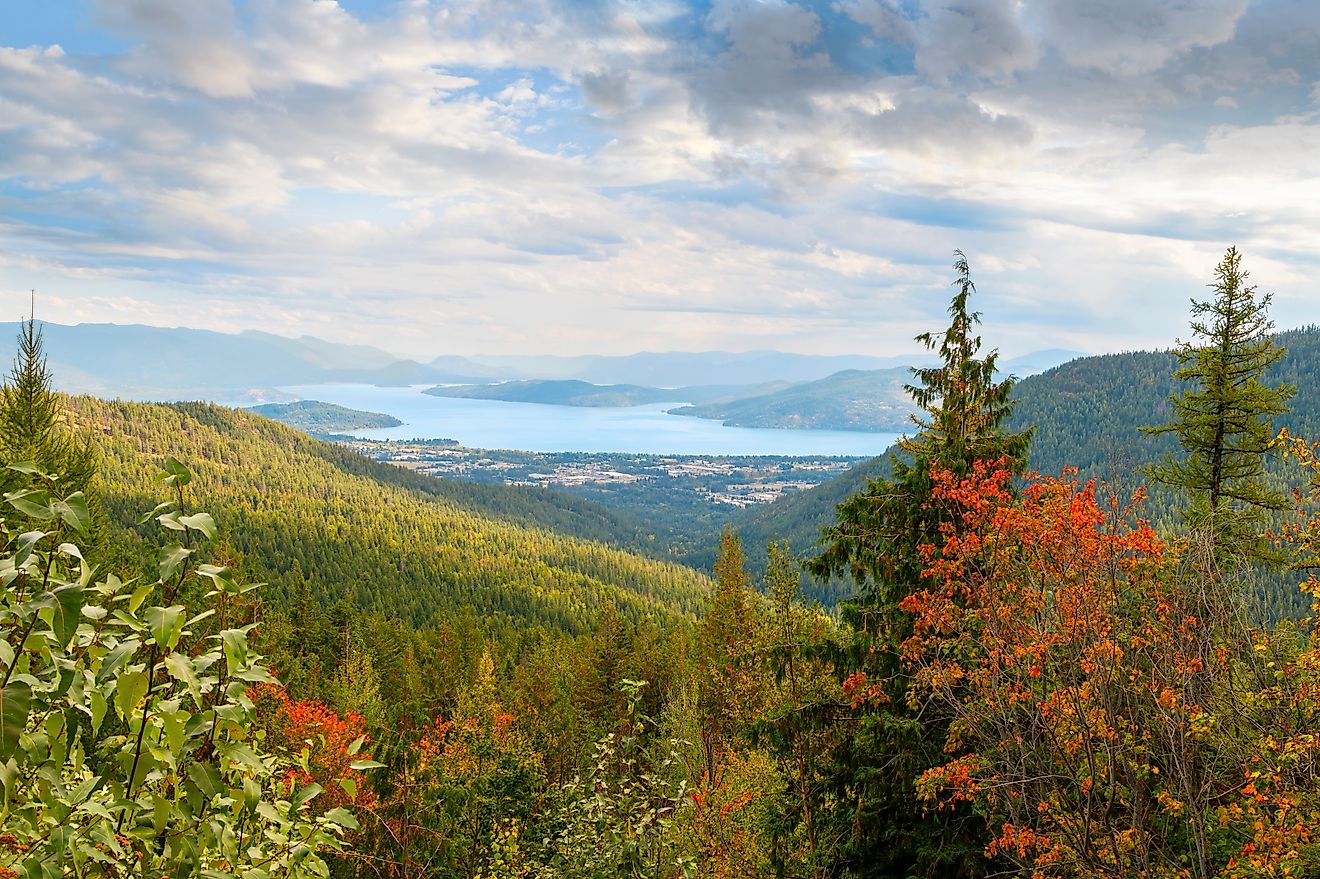
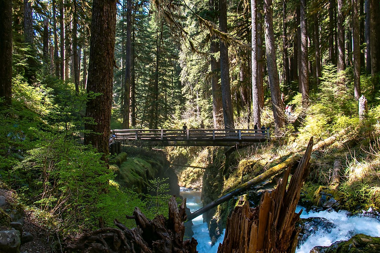
Over 2,000 lakes and rivers break up the landscape, fed by more than 445,000 acres of surface water. Cold-water streams carve narrow, rocky channels. Warm-water rivers flow across the flatter western areas shaped by ancient glacial lakes. Many lakes fill the depressions left by glaciers sliding over tilted rock layers through repeated ice ages.
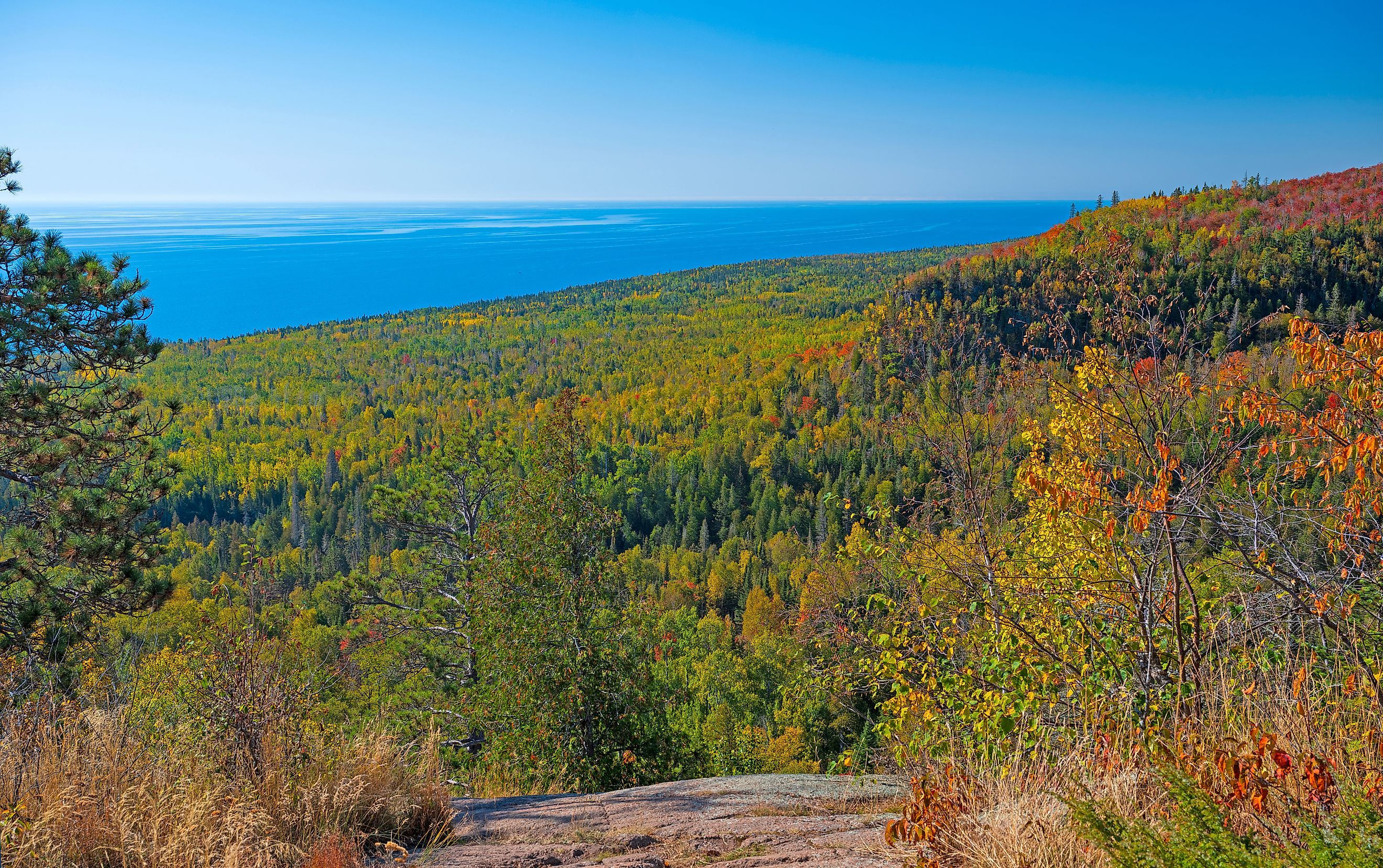
Elevation changes may not feel extreme, but they matter. The Sawtooth Mountains rise sharply along Lake Superior’s edge. The Misquah Hills include Eagle Mountain, Minnesota’s tallest natural point at 2,301 feet. The Laurentian Divide cuts across the forest, splitting waters between the Atlantic Ocean and Hudson Bay.
Even with these high points, much of the forest rests on an ancient peneplain eroded over time by water, ice, and weather. That worn surface creates long sightlines, exposed granite, and the broad wetlands that define the region.
Where Boreal and North Woods Meet

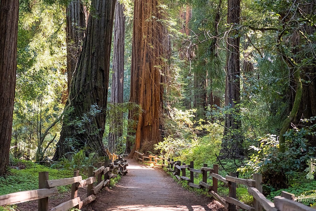
Superior National Forest sits between the boreal north and temperate hardwoods. Conifers cover much of the canopy, including white pine, red pine, balsam fir, and several types of spruce. Paper birch grows across disturbed areas and along shorelines, giving the forest much of its distinctive look.
Aspen and maple add a seasonal contrast in fall when the forest shifts toward gold and deep red. Aquatic plants thrive in shallow bays and marshes, including wild rice beds that play a major ecological and cultural role across northern Minnesota.
Vegetation patterns shift constantly from fire, wind, insects, and regrowth. Old burns give rise to young aspen stands, while mature pine forests persist on drier ridges. Spruce and tamarack thrive in wetter areas. This mix of habitats supports a wide range of species and keeps the forest ecologically rich.
Wildlife at Continental Scale

Superior National Forest supports one of the richest wildlife assemblages in the Lower 48, especially for northern species. Northern Minnesota holds the largest gray wolf population outside Alaska, with several hundred wolves living inside forest boundaries. Black bears roam widely. Moose move through wetlands and young forests. Canada lynx survive in limited numbers near the edge of their range.
Birdlife shapes the forest as much as mammals. More than 160 nesting bird species inhabit this landscape, including bald eagles, loons, boreal owls, and forest-dependent warblers. The forest sits near the overlap of hummingbird and Canada jay ranges, creating remarkable species diversity in a single area.
Fish play a key role in both recreation and the ecosystem. Lakes and rivers support walleye, northern pike, lake trout, brook trout, and smallmouth bass. Cold-water streams and deep lakes provide habitat that is increasingly rare elsewhere in the Midwest.
Rare species also find refuge here, including great gray owls, black-backed woodpeckers, orchids like ram’s-head lady-slipper, and ancient lake sturgeon.
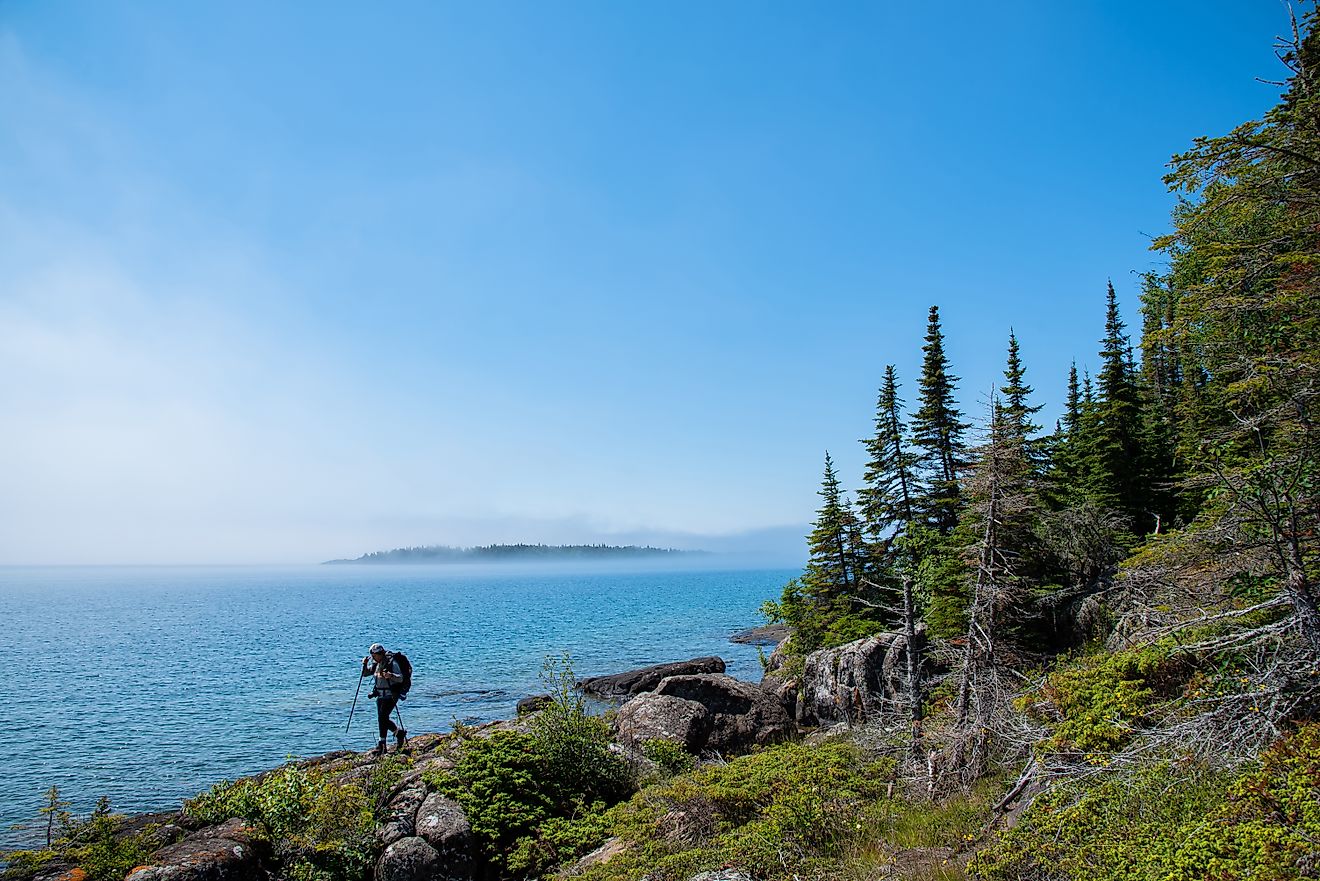
The Boundary Waters Canoe Area Wilderness

Just over one-quarter of Superior National Forest carries federal wilderness designation as the Boundary Waters Canoe Area Wilderness. Spanning roughly one million acres, the BWCA forms one of the largest protected wilderness areas in the eastern United States.
This landscape features interconnected lakes, rivers, and portages used for centuries by Native nations and later by fur traders. Motorized equipment faces heavy restrictions. Entry requires permits. Campsites remain intentionally sparse.
Canoe routes are the main way to move through the forest. Lakes connect through short portages over granite ridges and forest floors. Campsites are marked with fire grates and latrines, but development ends there.
The BWCA operates under a different management philosophy than the rest of the forest, prioritizing solitude, water quality, and long-term ecological integrity over convenience.
Trails That Cross the North

Superior National Forest supports some of the Midwest’s most significant long-distance trails. A major segment of the North Country National Scenic Trail cuts across the forest, connecting multiple iconic routes.
Key trail systems include:
-
Superior Hiking Trail, tracing Lake Superior’s ridges and river valleys
-
Border Route Trail, running near the Canadian boundary with remote terrain
-
Kekekabic Trail, crossing interior wilderness between Ely and Gunflint Lake
Together, these routes form a backbone for long-distance hiking across northeastern Minnesota, linking state parks, wilderness zones, and remote interior forest.
Camping Without a Script

Camping options span every comfort level. Developed campgrounds provide drinking water, restrooms, and garbage service. Rustic campgrounds remove those amenities but still offer designated sites. Backcountry campsites include only fire grates and pit latrines.
Dispersed camping is legal across undeveloped public land without permits or fees, a rarity in heavily regulated outdoor regions. Entry into the BWCA requires permits and quota compliance.
Notable campgrounds include Crescent Lake, Sawbill Lake, Divide Lake, and Temperance River, each tied closely to surrounding waterways and trail access.
Logging, Protection, and Modern Conflict

Superior National Forest is a multiple-use landscape. Sustainable logging continues outside wilderness boundaries, supporting regional economies and forest health initiatives. That balance sparks ongoing debate, especially near sensitive watersheds.
In January 2023, federal protections expanded through a 20-year moratorium on mining across 225,000 acres upstream of the Boundary Waters. The decision blocked proposed copper-nickel mining projects that raised concerns about water pollution within the Rainy River watershed.
That move reinforced the forest’s role as a freshwater stronghold rather than an industrial zone, especially given the interconnected nature of its lakes and rivers.
The Wild Edge of Minnesota

Superior National Forest functions as more than a recreation destination. It operates as a working ecosystem shaped by geology, water, fire, and time. Its scale allows species to migrate, waters to filter naturally, and forests to regenerate without constant intervention.
Few places east of the Rockies offer this mix of wilderness protection, ecological diversity, and public access. That combination explains why the forest continues to draw scientists, anglers, paddlers, hikers, and conservationists generation after generation.
This stretch of northern Minnesota proves that wild landscapes do not need to feel distant or dramatic to matter. Sometimes durability, water, and quiet complexity tell the strongest story of all.
| Quick Facts: Superior National Forest | |
|---|---|
| Location | Northeastern Minnesota (Arrowhead Region) |
| Established | 1909 |
| Total Size | ~3.9 million acres |
| Counties | Cook, Lake, and St. Louis |
| Managing Agency | U.S. Forest Service |
| Largest National Forest | East of the Mississippi River |
| Wilderness Area | Boundary Waters Canoe Area Wilderness (over 1 million acres) |
| Number of Lakes & Rivers | 2,000+ |
| Surface Water Area | ~445,000 acres |
| Highest Point | Eagle Mountain (2,301 feet) |
| Major Ecosystems | Boreal forest and North Woods transition zone |
| Notable Wildlife | Gray wolves, moose, black bears, loons, lynx |
| Bird Species | 160+ nesting species |
| Major Trails | Superior Hiking Trail, Border Route Trail, Kekekabic Trail |
| Camping Options | Developed, rustic, backcountry, and dispersed |
| Mining Status | 20-year moratorium near Boundary Waters (since 2023) |