Sabine National Forest
Pine forests extend wide across East Texas, but Sabine National Forest feels different the moment the road narrows and the trees close in. This is the eastern edge of the Texas national forest system, brushing up against the Louisiana border and carrying a landscape shaped by rivers, hardwood bottoms, and deep Pineywoods history. It is quieter than many better-known forests, yet rich in stories, biodiversity, and backcountry trails.
Sabine National Forest covers more than 160,000 acres spread across five counties. It blends managed recreation areas with pockets of wild terrain that still feel untouched. Longleaf pines tower over sandy soils, creeks wind through shaded hollows, and Toledo Bend Reservoir creates a wide blue edge along the eastern boundary. Time moves slower here, and the land seems better for it.
Where Sabine National Forest Calls Home

Sabine National Forest lies in East Texas near the Texas and Louisiana state line. It spans portions of Sabine, Shelby, San Augustine, Newton, and Jasper counties. The largest share of acreage is found in Sabine and Shelby counties. Administration for the forest takes place through offices in Lufkin, Texas, shared with the other national forests and grasslands in the state. A local ranger district office operates out of Hemphill, serving as a hub for on-the-ground management.
The forest sits along the western slopes of the Sabine River watershed. Water plays a major role, carving drainages and feeding creeks that eventually flow toward the Sabine River and Toledo Bend Reservoir. That relationship with water supports dense plant life and a diverse range of wildlife.
Sabine National Forest by the Numbers
-
Total area: 160,873 acres
-
Counties included: 5
-
Largest county share: Sabine County with over 95,000 acres
-
Easternmost national forest in Texas
A Forest Built by Hands and History

Sabine National Forest did not appear overnight. Much of its early development traces back to the Civilian Conservation Corps during the Great Depression. Between 1933 and 1940, CCC crews worked across the region planting pine seedlings, building roads, and creating recreational facilities that still serve the forest today.
Two CCC companies left a lasting mark. Company 893 set up camp near Pineland in 1933 and focused on planting pines in the southern sections of the forest. Roads, fire lookout towers, and Red Hills Lake Recreation Area came out of their efforts. Company 880 established a camp near Center, Texas later that same year, planting thousands of trees in what became the northern forest. Their work also produced Boles Field Campground, complete with a pavilion and amphitheater near Shelbyville.
Those projects helped turn overworked land into a thriving forest, laying the foundation for what Sabine National Forest looks like today.
Trees That Tell a Story

Hardwoods set Sabine National Forest apart from many other Texas forests. Extensive stands of American beech thrive here, creating cool, shaded areas that feel more Appalachian than Southern Plains. These beech forests represent some of the most significant remaining examples of their kind within a national forest.
Pines still play a major role. Loblolly pine dominates much of the landscape, joined by longleaf and shortleaf pine in drier areas. Mixed among them are white oak, southern red oak, sweetgum, and Florida maple. This blend of tree species supports layered canopies and a forest floor rich in plant life.
Spring brings wildflowers and ferns, summer deepens the green canopy, and fall adds flashes of color that feel unexpected in East Texas.
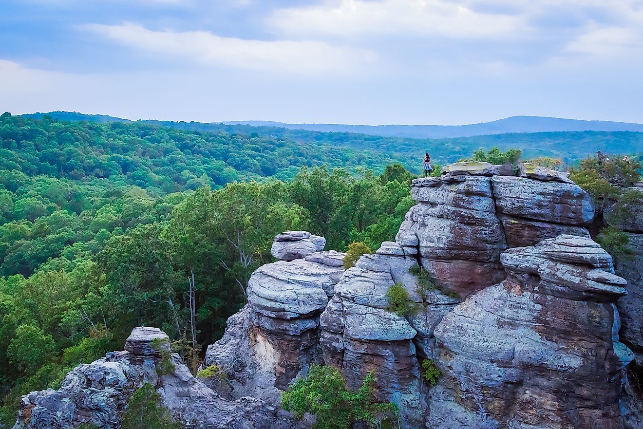
Indian Mounds Wilderness: The Forest at Its Wildest

The crown jewel of Sabine National Forest is Indian Mounds Wilderness. Designated in 1984, this protected area covers roughly 12,000 acres near an inlet of Toledo Bend Reservoir. It preserves low ridges, slopes, and three primary drainages known as Indian Creek, Bull Creek, and Hurricane Bayou.
Despite the name, the four large mounds near the wilderness area are natural formations rather than cultural earthworks. Early beliefs linked them to the Caddoan Mississippian culture, but archaeological research confirmed their geological origins.
What truly sets Indian Mounds Wilderness apart is its plant diversity. Slopes and lower elevations support the largest remaining old growth stands of American beech and southern magnolia found in any US national forest. Higher ground hosts some of the last strongholds of mature black hickory in the region.
A 1994 survey identified several champion trees here, including state champions like Florida sugar maple and eastern hop-hornbeam, plus a national champion little-hip hawthorn. The forest floor supports an impressive mix of fungi, mosses, liverworts, and wildflowers.
Wildlife of the Pineywoods

Sabine National Forest supports an impressive range of wildlife thanks to its mix of wetlands, uplands, and waterways. Reptiles and amphibians thrive here, especially species tied to the region’s creeks and rivers.
Reptiles You Might Encounter
-
Sabine map turtle
-
Alligator snapping turtle
-
Razor-backed musk turtle
-
River cooter
-
Three-toed box turtle
-
Coal skink and ground skink
American alligators are present in East Texas and may appear in lakes, rivers, or bayous, though sightings inside the forest remain uncommon.
Venomous snakes include Texas coralsnake, eastern copperhead, northern cottonmouth, timber rattlesnake, and western pygmy rattlesnake. Several harmless species also inhabit the forest, adding to the ecosystem’s balance.
Amphibians and Fish
Amphibians recorded in Sabine and Shelby counties include pickerel frogs, Cope’s gray treefrogs, spotted salamanders, and the rare Catahoula spotted dusky salamander, which has been declining across much of its range in Texas.
Fish species connect the forest closely to the Sabine River drainage. Paddlefish, spotted gar, blue catfish, chain pickerel, and white crappie swim its waters, joined by smaller species like Sabine shiner and redspot darter.
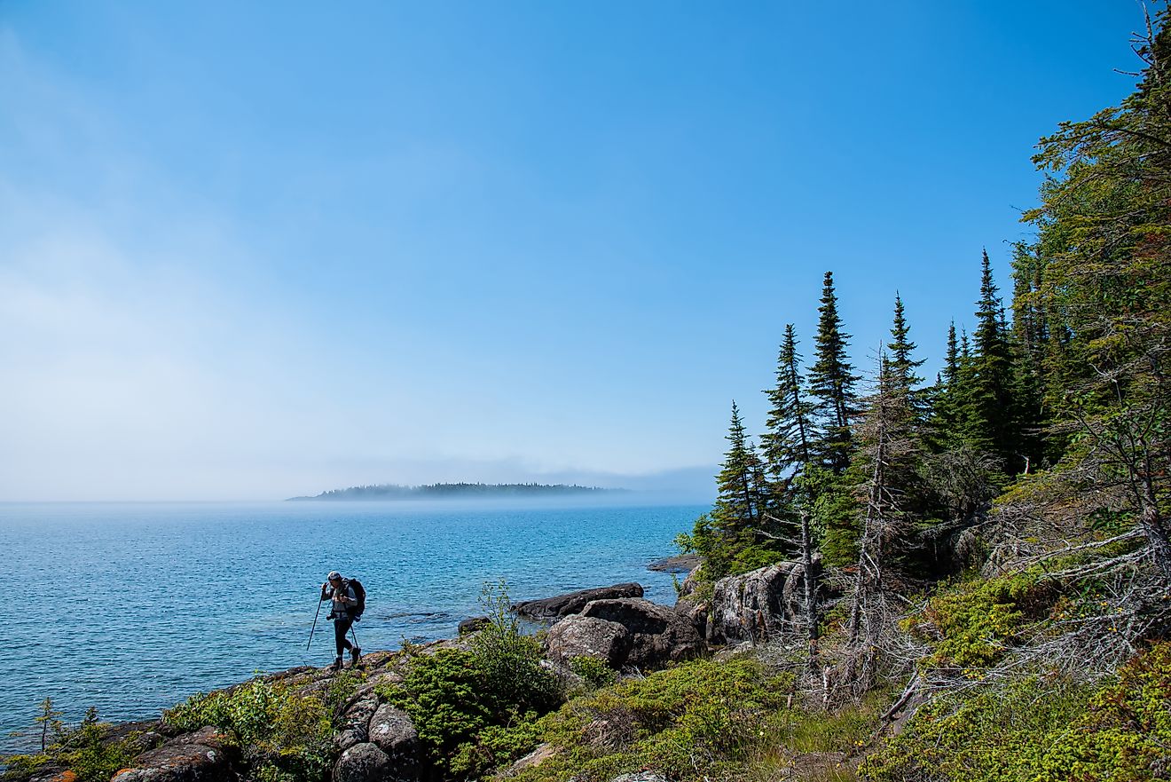
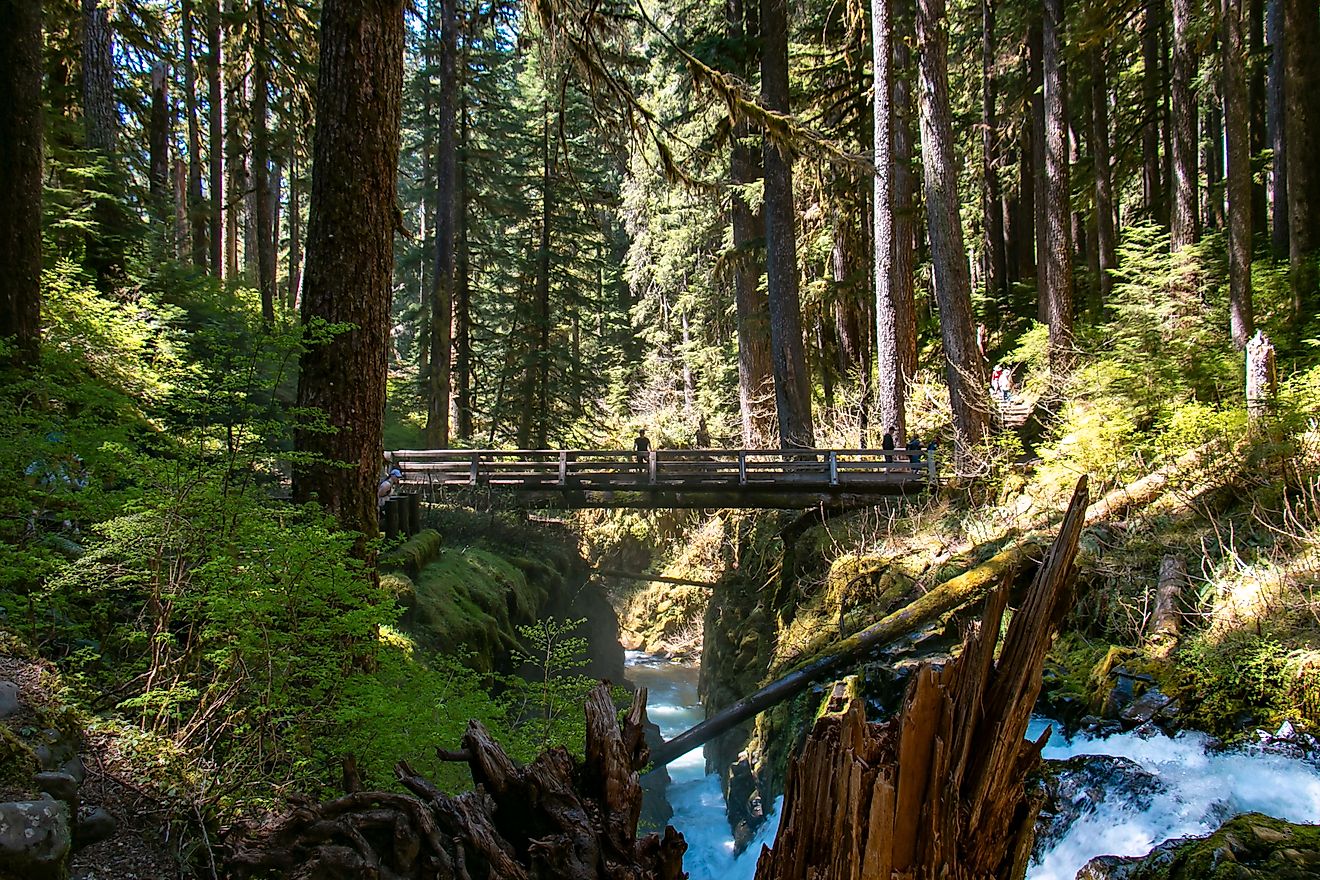
Trail Between the Lakes: A Classic East Texas Hike

The Trail Between the Lakes offers one of the forest’s most rewarding backcountry experiences. Stretching 28 miles, the trail runs between Lakeview Recreation Area on Toledo Bend Reservoir and US Highway 96 near the eastern edge of Sam Rayburn Reservoir.
First proposed in 1981, the final section reached completion in 1990. The route crosses multiple plant communities, shifting elevations, and several streams. Birding opportunities abound, and wildlife sightings are common for hikers who move quietly.
Trail use remains limited to hiking and primitive camping. Mountain bikes, horses, and off-road vehicles are not permitted, preserving the quiet character of the trail.
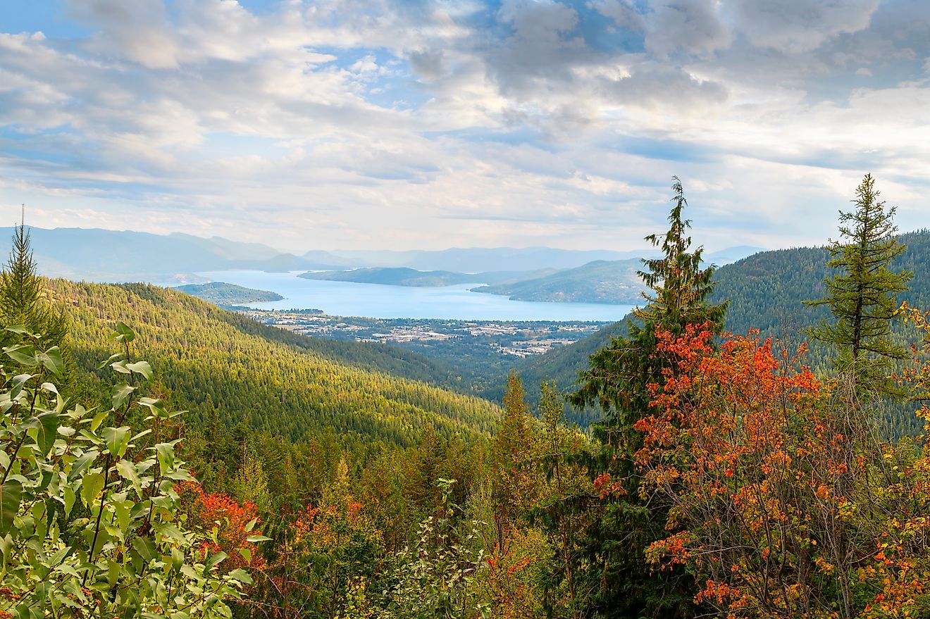
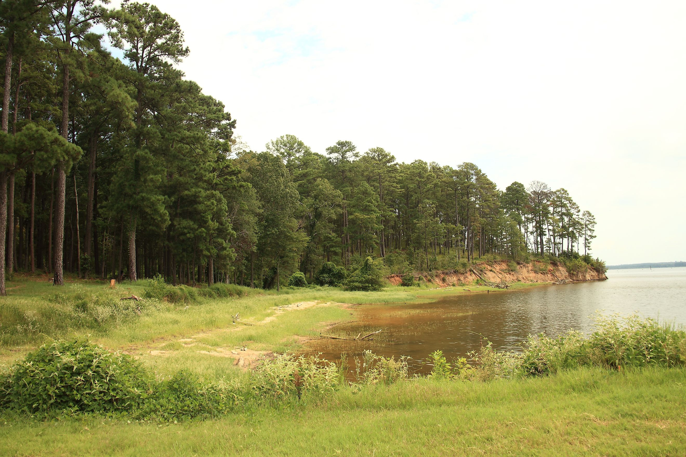
Recreation Areas Around Toledo Bend Reservoir

Toledo Bend Reservoir defines much of the eastern edge of Sabine National Forest. It ranks among the largest man-made reservoirs in the country, stretching across 185,000 acres and supporting boating, fishing, and lakeside camping.
Several recreation sites line the Texas shore, many maintained by the Sabine River Authority of Texas. These include Lakeview Campground, Indian Mounds Recreation Area, Willow Oak, Ragtown, and multiple boat ramps. Red Hills Lake, completed by the CCC in 1940, sits slightly inland and offers a quieter alternative when open.
Popular Recreation Sites
-
Lakeview Campground
-
Indian Mounds Recreation Area
-
Boles Field
-
Willow Oak
-
Haley’s Ferry Boat Ramp
Conditions change throughout the year, so checking current site status through the ranger district office remains a smart move.
Passes, Permits, and Planning Tips

Sabine National Forest falls under the broader National Forests and Grasslands in Texas system. Various passes apply depending on activities and locations, including day use and annual options. Senior lifetime passes also remain available.
Trail conditions, campground availability, and water access can shift due to weather or maintenance. For current updates, contacting the Sabine Ranger District Office in Hemphill offers the most reliable information.
An East Texas Landscape Worth Protecting

Sabine National Forest protects more than trees and trails. It safeguards rare plant communities, preserves wildlife habitat, and maintains a living record of conservation efforts that date back nearly a century. The work of the Civilian Conservation Corps still echoes through the forest’s roads, campgrounds, and lakes.
East Texas often flies under the radar in national park conversations, yet Sabine National Forest proves that quiet landscapes can hold remarkable depth. Pine needles underfoot, filtered sunlight through beech leaves, and the steady flow of creeks offer a version of Texas shaped by patience and time.
For those drawn to forests with character and history, Sabine delivers an experience that feels both grounded and enduring.
Quick Facts: Sabine National Forest
| Location | East Texas, near the Texas Louisiana border |
| Total Area | 160,873 acres |
| Counties Covered | Sabine, Shelby, San Augustine, Newton, Jasper |
| Managing Agency | U.S. Forest Service |
| Administrative Office | Lufkin, Texas |
| Ranger District Office | Hemphill, Texas |
| Established | 1930s |
| Civilian Conservation Corps | Active 1933 to 1940 |
| Notable Trees | American beech, loblolly pine, longleaf pine, sweetgum, white oak |
| Wilderness Area | Indian Mounds Wilderness |
| Wilderness Size | About 12,000 acres |
| Major Trail | Trail Between the Lakes |
| Trail Length | 28 miles |
| Primary Water Features | Toledo Bend Reservoir, Sabine River watershed |
| Recreation Highlights | Hiking, primitive camping, fishing, wildlife viewing |
| Unique Distinction | Largest old growth American beech forest in the U.S. National Forest system |