How Deep is Lake Mead?
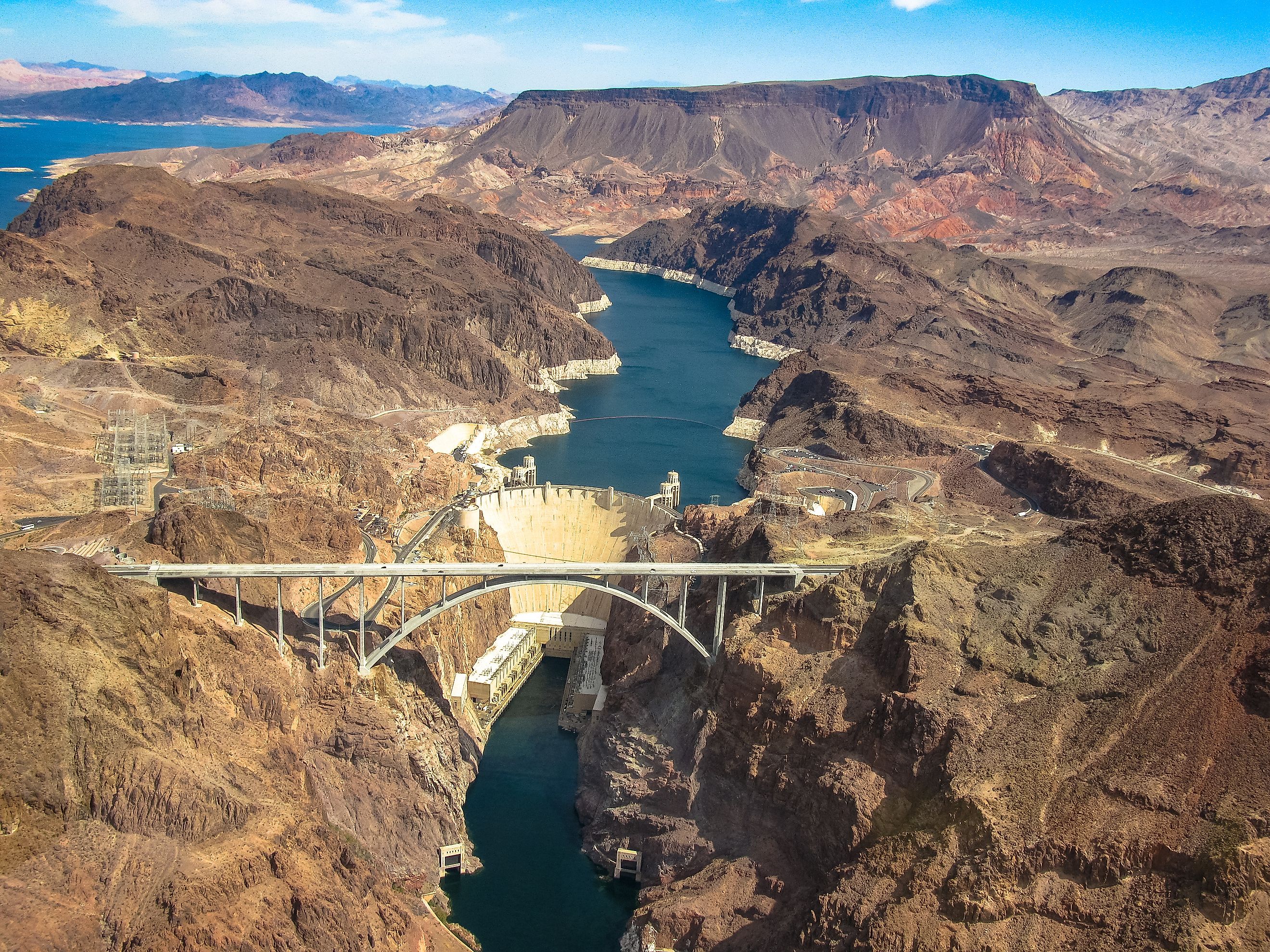
Lake Mead, nestled in the rugged landscapes of the American Southwest, is more than just a reservoir—it's a symbol of human ingenuity and a gauge of environmental change. Created by the Hoover Dam in the 1930s, Lake Mead is the largest reservoir in the United States, essential for water supply and hydroelectric power. Its depth, reaching up to approximately 532 feet (162 meters) near Hoover Dam, varies significantly due to factors like climate change and water management.
Understanding Lake Mead's depth is not just about measurements but also about the broader implications for water resource management and ecological balance. As climate patterns change and water demands increase, Lake Mead's depth highlights our ability to manage water in an arid and rapidly changing environment sustainably.
The Formation And Purpose Of Lake Mead
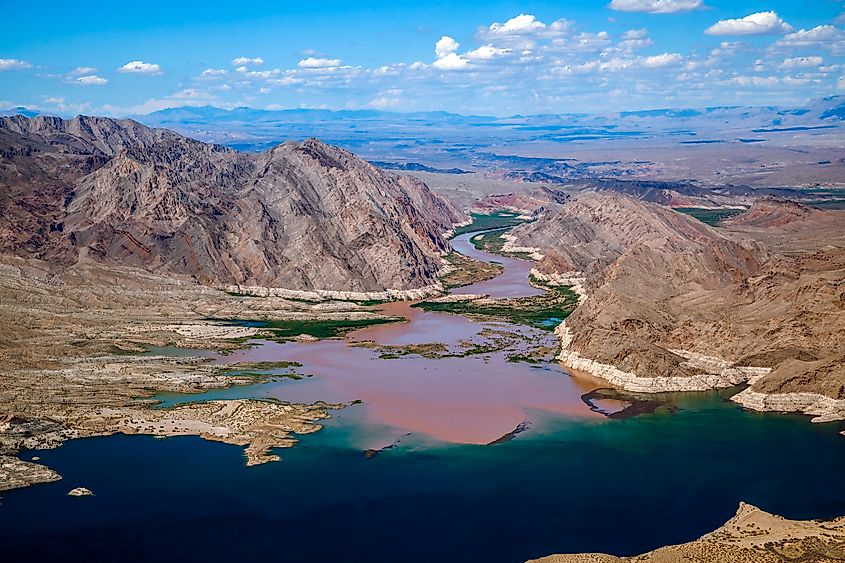
Colorado River Joins Lake Mead.
Lake Mead was created by building the Hoover Dam on the Colorado River, a huge project finished in 1936. The main goal was to provide a reliable water source and hydroelectric power to several states, including Nevada, Arizona, and California. This large reservoir stores water crucial for agriculture, city supplies, and industry.
The lake also helps control floods and manages water flow to prevent downstream flooding. Lake Mead supports recreational activities like boating, fishing, and tourism, which boost the local economy. However, growing demands and environmental challenges highlight the need for sustainable management to ensure Lake Mead can continue serving its many purposes in the future.
Importance Of Lake Mead
Lake Mead is more than just a recreational spot; it's a crucial water and energy resource for the American Southwest. This reservoir supplies water to about 25 million people, including major cities and large agricultural areas. The Hoover Dam, which forms Lake Mead, produces hydroelectric power for several states.
The reservoir's health is essential for various ecosystems, providing a habitat for many plant and animal species. During droughts, Lake Mead's water levels are a major concern, underscoring the effects of climate change and overuse. Protecting and managing Lake Mead is vital to support the diverse life and economic activities in the Southwest.
Measuring The Depth Of Lake Mead
Measuring the depth of Lake Mead uses both modern technology and traditional survey methods. Multibeam sonar technology is mainly used to get precise measurements by emitting sound waves that bounce off the lakebed, creating detailed topographical maps. Satellite imagery and remote sensing also provide important data on surface levels and volume changes over time.
Manual depth sounding, though less common, helps verify automated measurements. Regular monitoring is crucial as water levels change due to precipitation, water use, and climate conditions. By combining these methods, scientists and water managers can accurately track Lake Mead's depths, which is essential for managing water resources, planning for drought, and ensuring the health of the reservoir and the communities that rely on it.
Historical Changes In Lake Mead's Depth
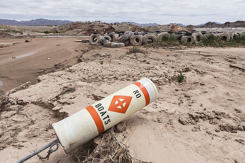
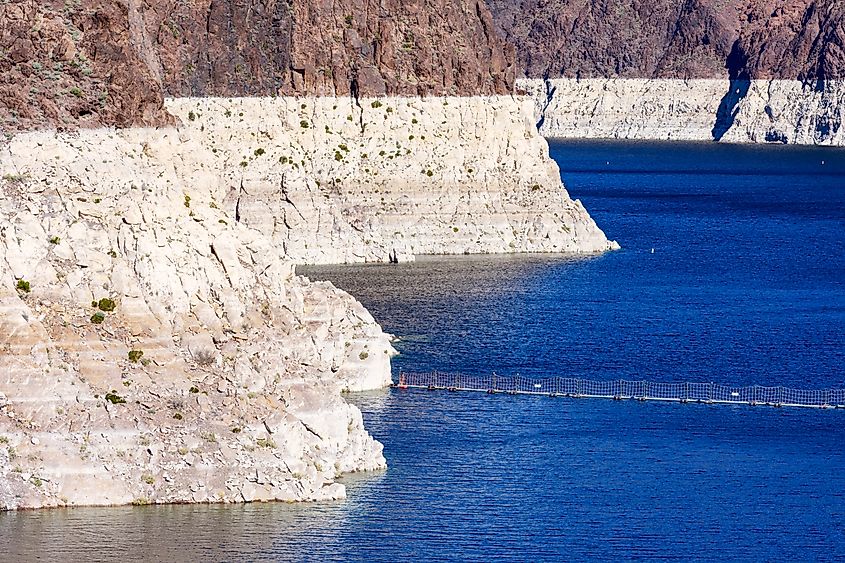
Historic low lake levels at Lake Mead in the drought ravaged state of Nevada.
Over the decades, Lake Mead's depth has significantly fluctuated due to various environmental and human factors. Initially filled in the 1930s after the Hoover Dam was completed, the reservoir has since experienced periods of both high and low water levels. One notable change occurred during the prolonged droughts in the early 21st century, which dramatically reduced water levels.
Climate change has worsened this trend, leading to hotter, drier conditions that decrease the inflow from sources like the Colorado River. Additionally, increasing water demand from growing urban populations and extensive agriculture has further strained the lake's capacity. These fluctuations are carefully tracked using advanced measurement technologies, providing critical data for water management strategies. Understanding these historical changes is essential for predicting future trends and implementing sustainable water usage practices to preserve this vital resource.
Climate Change And Lake Mead
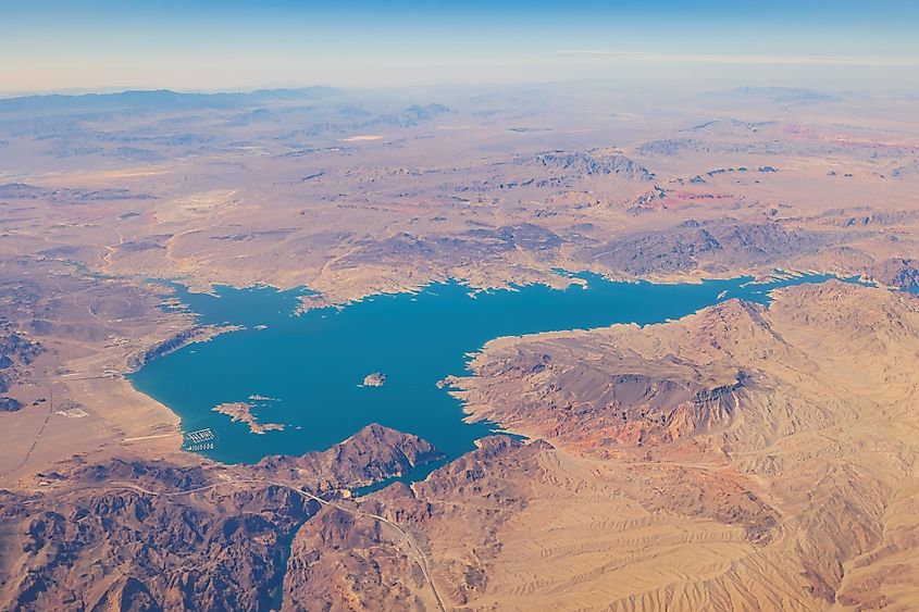
Aerial view of the Lake Mead National Recreation Area at Nevada.
Climate change is one of the biggest challenges affecting Lake Mead, causing fluctuations in its water levels and impacting its overall health. Rising temperatures and prolonged droughts, driven by climate change, have greatly reduced the inflow from the Colorado River, the reservoir's main water source.
As a result, Lake Mead has reached record lows in recent years. Additionally, climate change increases evaporation rates, further reducing the lake's capacity. Lower water levels threaten the water supply for millions of people, hydroelectric power generation, and the health of surrounding ecosystems. Addressing climate change is crucial for the long-term sustainability of Lake Mead. This requires collaborative efforts to implement water conservation measures, adopt renewable energy sources, and reduce greenhouse gas emissions to mitigate the impacts of a warming climate on this vital resource.
Water Management Challenges
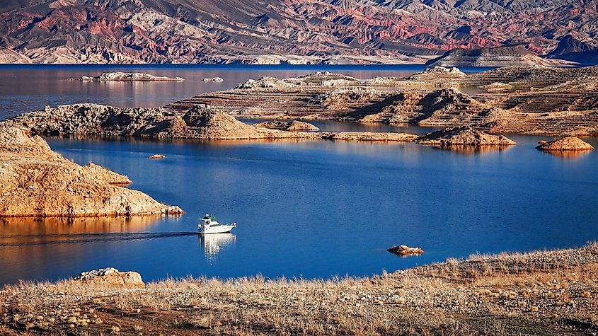
A powerboat cruising on Lake Mead.
Managing water resources in the Lake Mead region presents several significant challenges. The growing urban populations in places like Las Vegas and Phoenix have increased water demand, often exceeding natural replenishment rates. Additionally, extensive agricultural activities draw large amounts of water, putting further strain on reserves. Climate change worsens these issues by reducing inflows from the Colorado River and increasing evaporation rates, leading to more shortages.
Outdated infrastructure and leaky water delivery systems also result in water losses that the region cannot afford. Addressing these challenges requires a multifaceted approach, including modernizing water infrastructure, implementing strong conservation practices, and exploring alternative water sources like desalination. Collaborative interstate agreements are essential to ensure fair and sustainable water distribution across all affected areas. Effective management strategies must incorporate these diverse elements to secure the long-term viability of Lake Mead as a crucial water resource.
The Impact Of Drought
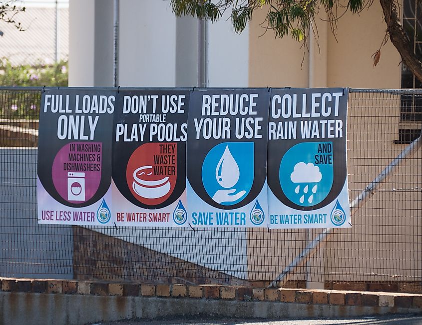
Drought has a major impact on Lake Mead, making it harder to manage this crucial water resource. Long droughts mean less water flows in from the Colorado River, reducing the reservoir's ability to serve millions of people in multiple states. Less rain and more evaporation during droughts lead to very low water levels, affecting municipal and agricultural supplies as well as hydroelectric power.
The surrounding ecosystem also suffers, with less water threatening plant and animal life. Ongoing droughts require stricter water rationing and conservation, putting more pressure on local communities and economies. To address these challenges, we need comprehensive planning that includes better water storage and transfer systems, improved drought prediction, and regional cooperation to ensure fair water distribution.
Safeguarding Lake Mead's Natural Heritage
Lake Mead showcases human ingenuity and highlights the critical need for sustainable water management. Its creation through the Hoover Dam has provided essential services like flood control, irrigation, hydroelectric power, and recreation for the Southwest. However, climate change, droughts, and environmental challenges demand a renewed focus on adaptive management and regional cooperation.
To ensure Lake Mead's resilience, we must address water quality, protect native ecosystems, and support biodiversity. By implementing innovative solutions and fostering collaboration, we can safeguard this vital resource for future generations. A comprehensive and dynamic approach is essential for Lake Mead to continue serving its crucial roles in an ever-changing environment.


