The Largest Valleys in the US
Across the United States, valleys form some of the most dramatic and beautiful landscapes in the country. Carved by glaciers, shaped by rivers, and framed by towering peaks, America’s largest valleys are more than geological depressions. They are cultural corridors, agricultural heartlands, and ecological wonders. From the massive sprawl of California's Central Valley to the high-altitude vastness of Wyoming's Jackson Hole, these valleys play a key role in the geography and identity of the nation.
Journey through America’s largest and most awe-inspiring valleys, where size meets story. These vast landscapes reveal powerful geologic forces, rare ecosystems, and striking scenery that captivates both travelers and locals.
Central Valley

-
Length: Approximately 450 miles
-
Width: 40 to 60 miles
-
Type: Alluvial valley
-
Location: California (between the Sierra Nevada and the Coast Ranges)
The Central Valley is one of the largest and most productive valleys in the world. Stretching nearly 450 miles from north to south, it is home to some of the richest farmland in the United States. The valley is divided into two main regions: the Sacramento Valley in the north and the San Joaquin Valley in the south.
What makes this valley extraordinary is its scale and its role as America’s agricultural engine. It produces more than a third of the country’s vegetables and two-thirds of its fruits and nuts. Visitors driving through the region will see endless rows of almond trees, grapevines, and citrus orchards, all set against the dramatic backdrops of the Sierra Nevada and coastal mountains.
Beyond agriculture, the valley has historic roots in California's Gold Rush, and its cities (like Fresno, Modesto, and Sacramento) offer access to both farmland and outdoor recreation.
Great Appalachian Valley

-
Length: Over 1,200 miles (entire system)
-
Width: Varies by region
-
Type: Tectonic valley
-
Location: Eastern US (from Quebec through Alabama)
Though it spans more than just the United States, the Great Appalachian Valley is a continuous lowland corridor running from Canada through the southeastern US. This valley has long been a natural route for migration, trade, and warfare.
In the US, it slices through states like Pennsylvania, Virginia, Tennessee, and Georgia, often forming the spine of scenic regions such as the Shenandoah Valley and the Tennessee Valley. It is flanked by the Blue Ridge Mountains to the east and the Ridge-and-Valley Appalachians to the west. Today, it's a prime destination for hikers, history buffs, and road-trippers tracing America’s early colonial paths.
Death Valley

-
Length: About 140 miles
-
Width: 5 to 15 miles
-
Type: Graben (fault-block) valley
-
Location: Southeastern California and southwestern Nevada
Death Valley is America’s lowest, driest, and hottest national park. It is also one of its most iconic valleys. This geological wonder sits in the Mojave Desert and plunges to 282 feet below sea level at Badwater Basin.
Despite its name, Death Valley is filled with life and color. Spring wildflowers, salt flats that shimmer in the sun, sand dunes, and striped canyons give the valley a stark beauty. It holds the record for the highest temperature ever recorded on Earth: 134 degrees Fahrenheit. Tourists flock to Furnace Creek, Zabriskie Point, and the eerie Racetrack Playa, where rocks mysteriously move across the ground.
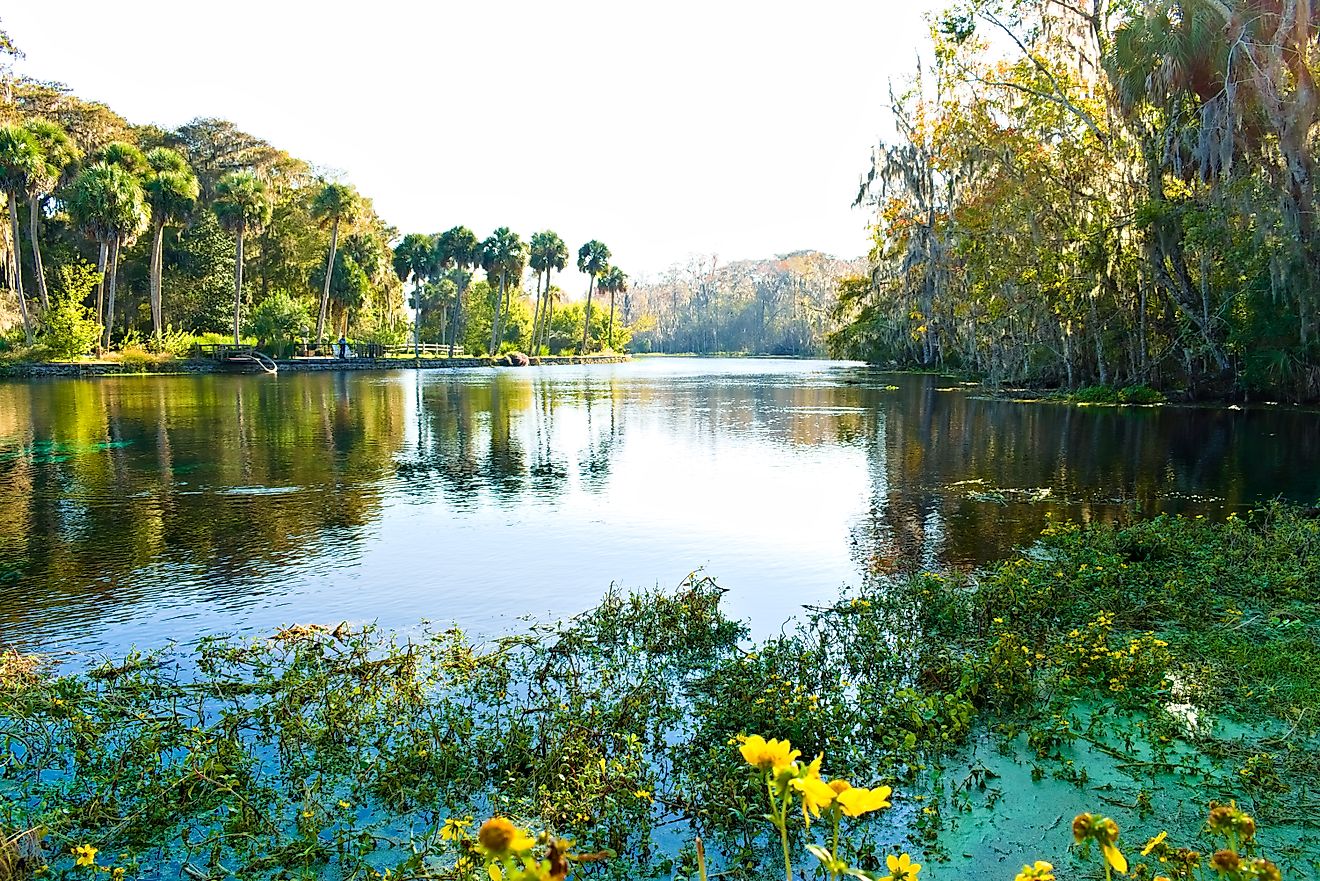
San Luis Valley

-
Length: About 122 miles
-
Width: Up to 75 miles
-
Type: High-altitude rift valley
-
Location: South-central Colorado and northern New Mexico
This broad, flat valley is the world’s largest alpine valley, nestled between the Sangre de Cristo and San Juan mountain ranges. The San Luis Valley sits at over 7,000 feet in elevation, offering high desert vistas and a unique mix of geological, ecological, and cultural features.
The valley is home to the Great Sand Dunes National Park, where massive dunes rise dramatically in front of snow-capped mountains. It's also rich in wildlife, from elk and sandhill cranes to Rio Grande trout. The region has strong Hispanic and Indigenous roots, giving the towns of Alamosa and Monte Vista a distinct cultural blend.
Willamette Valley

-
Length: Around 150 miles
-
Width: 20 to 40 miles
-
Type: River valley
-
Location: Western Oregon
The Willamette Valley is Oregon's agricultural and cultural heart. This lush river valley runs from Eugene to Portland and is fed by the Willamette River and its many tributaries. Thanks to rich volcanic soils and a temperate climate, it is one of the most productive agricultural areas in the Pacific Northwest.
It’s also Oregon’s wine country, known for world-class Pinot Noir and beautiful vineyard landscapes. Visitors enjoy scenic drives, small-town charm, and urban stops in cities like Salem and Corvallis. During spring and summer, festivals and farmers markets abound.
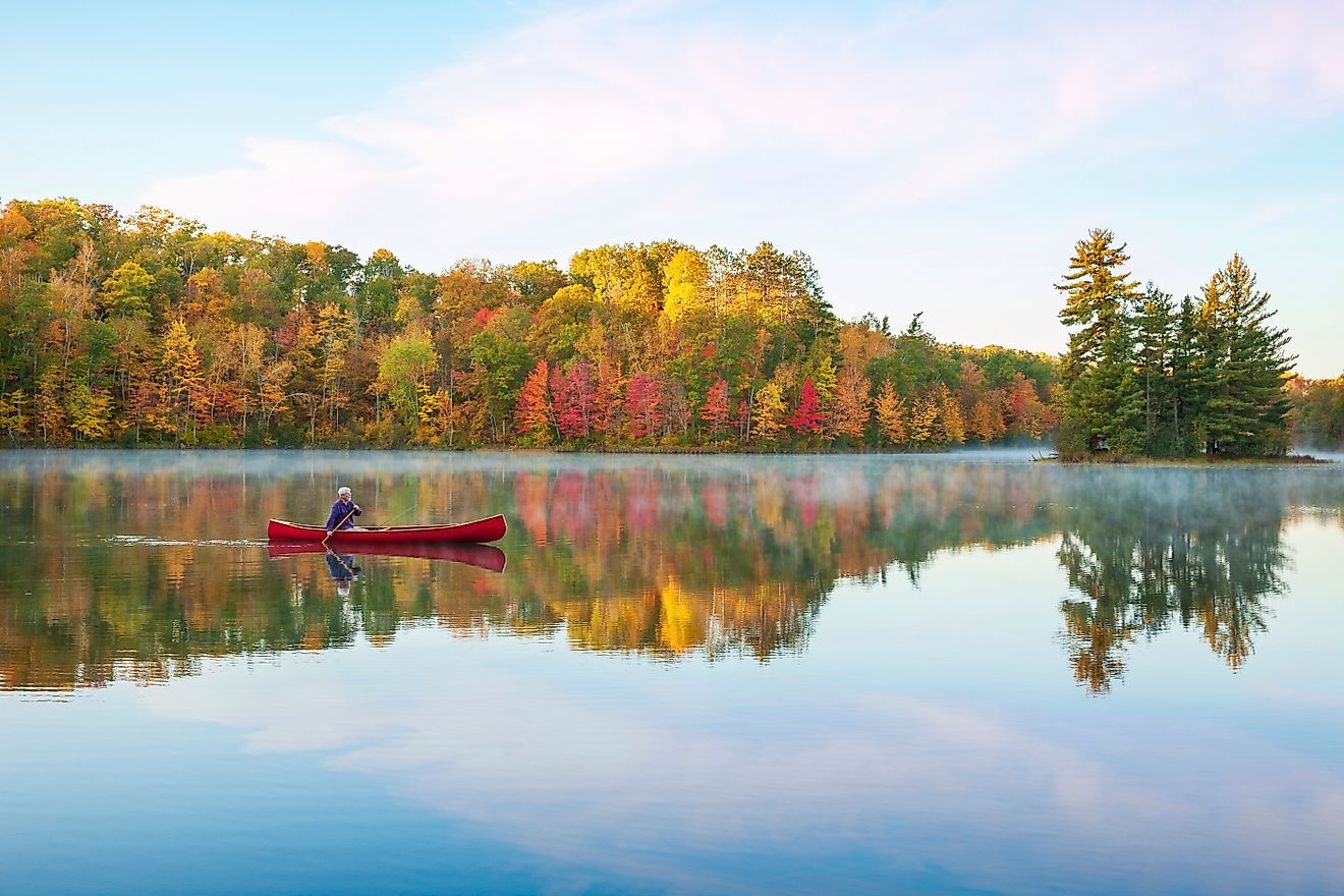
Hudson Valley

-
Length: About 150 miles
-
Width: Varies between 10 to 20 miles
-
Type: River valley (glacially carved)
-
Location: Eastern New York State
The Hudson Valley follows the Hudson River from the tip of Manhattan to the capital city of Albany. Framed by the Catskill Mountains to the west and the Taconic Range to the east, this valley combines natural beauty with deep colonial and Revolutionary War history.
It has long been a favorite retreat for artists, writers, and city-dwellers seeking nature. Towns like Beacon, Hudson, and Rhinebeck offer a mix of farm-to-table food, galleries, and historic estates. In autumn, the valley becomes a corridor of blazing fall foliage that draws travelers from across the region.
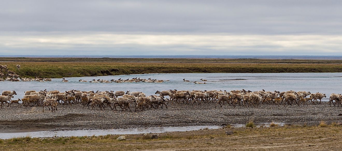
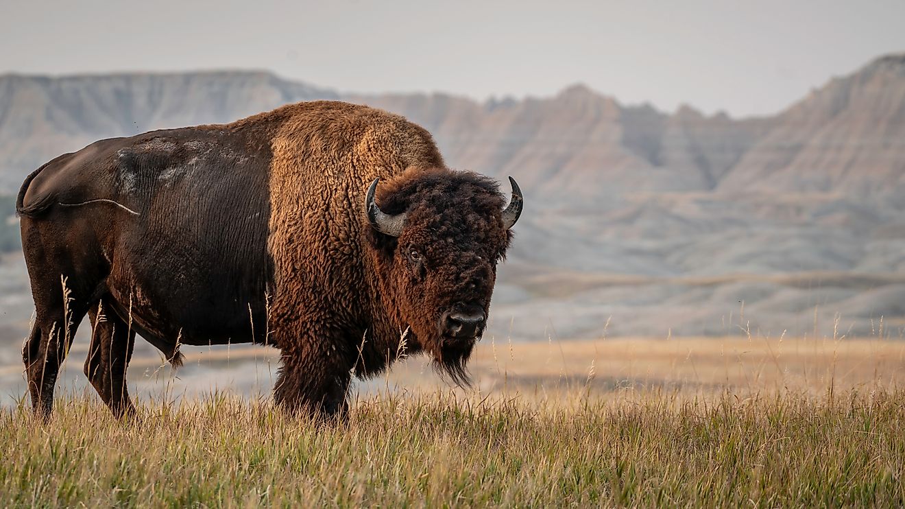
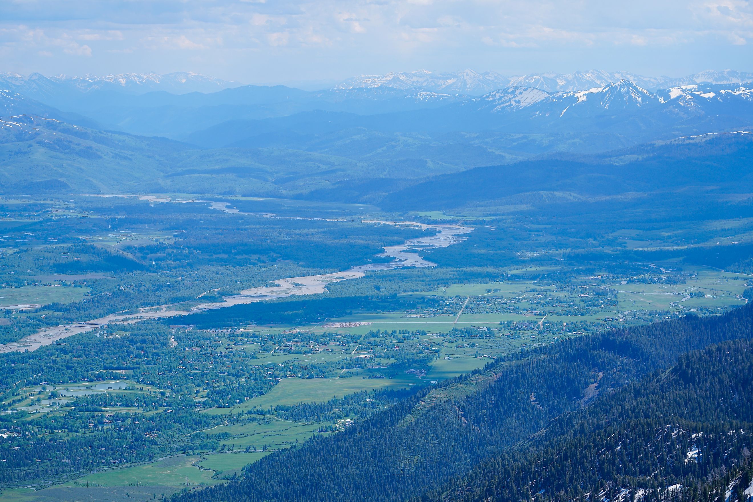
Jackson Hole

-
Length: About 48 miles
-
Width: 8 to 15 miles
-
Type: Graben (fault-block) valley
-
Location: Northwestern Wyoming
Jackson Hole is not the largest valley by size, but it is one of the most visually stunning. Nestled between the Teton and Gros Ventre mountain ranges, this high-altitude valley sits at around 6,200 feet. The town of Jackson anchors the valley, with Grand Teton National Park rising directly to the west.
Originally a hunting ground for Indigenous peoples and fur trappers, Jackson Hole is now a premier destination for skiing, hiking, and wildlife watching. Bison, elk, moose, and bears are regular sights. The Snake River cuts through the valley, offering opportunities for rafting and fishing.
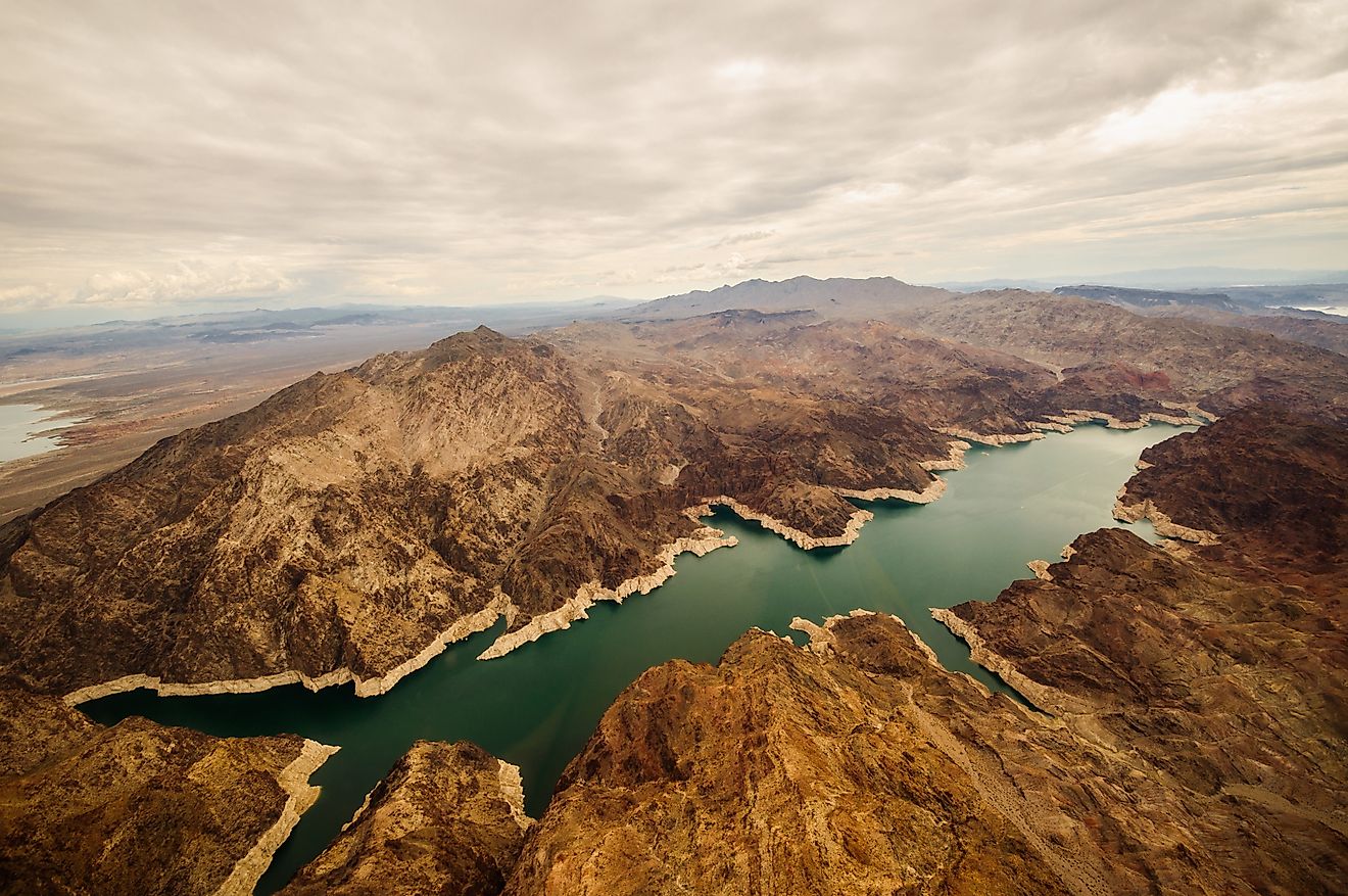
Owens Valley

-
Length: About 100 miles
-
Width: 6 to 20 miles
-
Type: Graben (fault-block) valley
-
Location: Eastern California
Lying between the Sierra Nevada and the Inyo Mountains, Owens Valley is one of the deepest valleys in the US when measured from the valley floor to the surrounding peaks. Mount Whitney, the tallest mountain in the lower 48 states, towers just west of the valley.
Owens Valley has a stark, desert beauty. It is also central to one of the country’s biggest water controversies. In the early 20th century, water was diverted from the valley to Los Angeles, drying up Owens Lake and sparking one of the fiercest environmental battles in California history. Today, visitors can explore ancient petroglyphs, hot springs, and ghost towns.
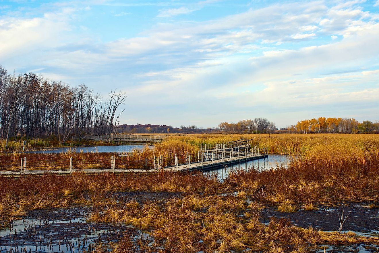
Valleys That Shape Landscapes and Lives
The United States is filled with valleys of every shape, size, and story. Some cradle the nation's food supply. Others hide desert mysteries or tower beneath snow-capped peaks. Whether shaped by glaciers, rivers, or tectonic forces, these valleys are more than geographic features; they are cultural crossroads, natural sanctuaries, and breathtaking destinations.
For travelers looking to better understand the land, valleys offer wide-open spaces filled with quiet beauty and surprising depth.
Chart: The Largest Valleys in the US
| Valley Name | Length (mi) | Width (mi) | State(s) | Type |
|---|---|---|---|---|
| Central Valley | ~450 | 40 to 60 | California | Alluvial |
| Great Appalachian | ~1,200+ | Varies | Eastern US | Tectonic |
| Death Valley | ~140 | 5 to 15 | California, Nevada | Fault-block (Graben) |
| San Luis Valley | ~122 | Up to 75 | Colorado, New Mexico | Rift valley |
| Willamette Valley | ~150 | 20 to 40 | Oregon | River valley |
| Hudson Valley | ~150 | 10 to 20 | New York | River valley |
| Jackson Hole | ~48 | 8 to 15 | Wyoming | Fault-block (Graben) |
| Owens Valley | ~100 | 6 to 20 | California | Fault-block (Graben) |