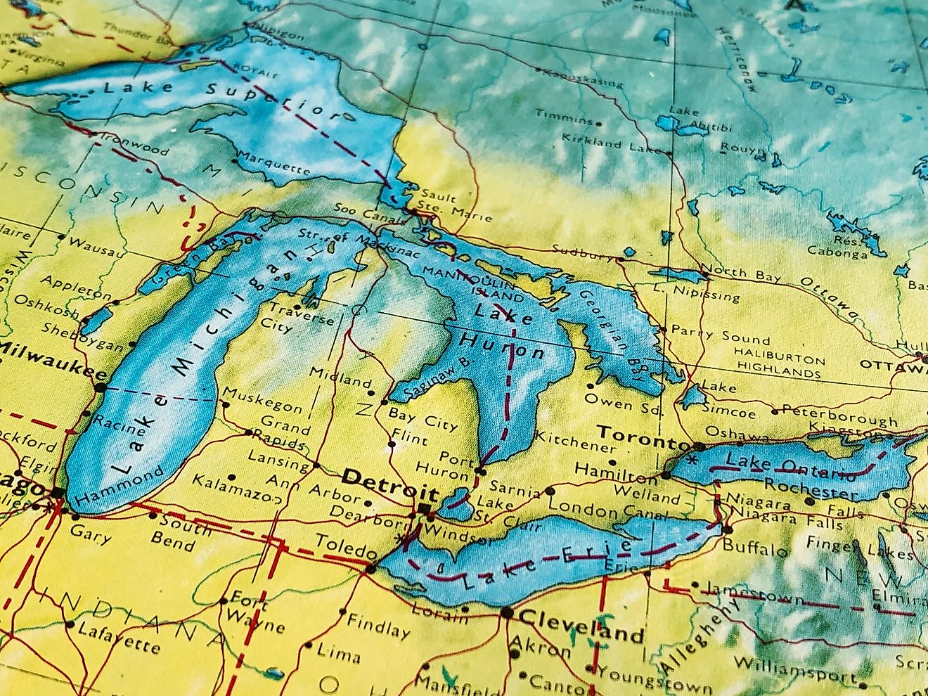
Which US States Are Actually Below Sea Level?
Most of us imagine land as something firmly above water; solid, dry, and comfortably elevated. But not every place in the United States fits that mold. In fact, only two states in the entire country, California and Louisiana, have land that sits below sea level. These aren’t just geographic footnotes, they are fascinating places shaped by geology, climate, and human engineering.
Dive into the surprising facts behind America’s lowest points, learn how and why they formed, and about the coastal states that come close but never cross the line.
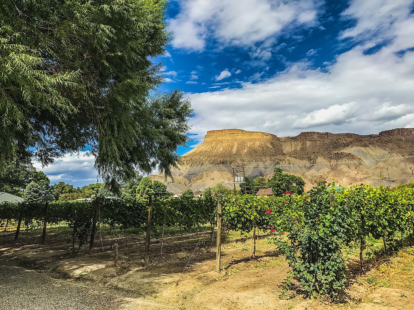
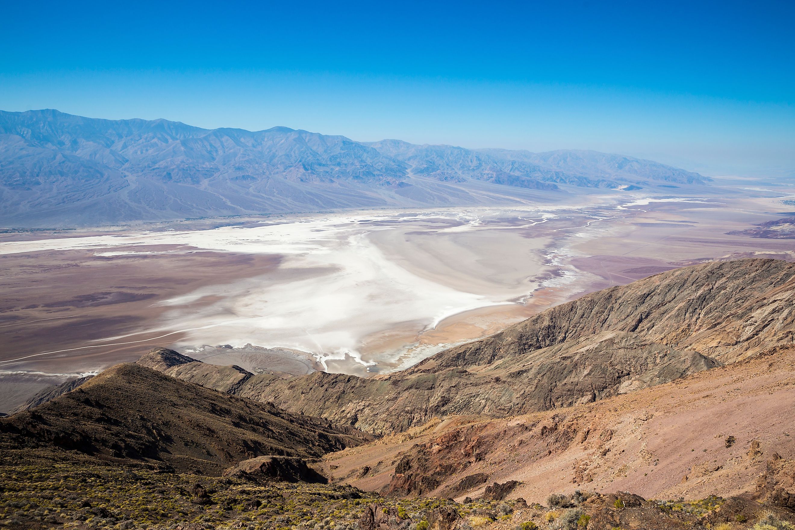
California: Home to the Lowest Point in North America

-
Lowest Point: Badwater Basin, Death Valley
-
Elevation: 282 feet below sea level
-
Region: Inyo County, Eastern California
California’s Death Valley is not only the driest and hottest place in the US, it also contains the lowest elevation in North America. Badwater Basin, located within Death Valley National Park, sits a remarkable 282 feet below sea level. This salty, flat expanse was formed by thousands of years of evaporation and tectonic activity.
Despite its extreme depth, Badwater Basin doesn’t resemble a gaping hole in the ground. Instead, it’s a surreal salt flat, often shimmering in the desert sun and surrounded by craggy mountains. Visitors are greeted by a sign marking the sea level line high above them on the cliffs, making it easy to visualize just how low you’ve traveled.
Why It’s So Low

Death Valley was shaped by fault lines and erosion in the Basin and Range region of the American Southwest. Over millions of years, shifting tectonic plates and the drying up of prehistoric Lake Manly created the deep trough we now call Death Valley.
Extreme Climate
Death Valley is one of the hottest places on Earth. In fact, it holds the world record for the hottest air temperature ever recorded: a blistering 134°F in 1913. The heat, combined with the below-sea-level elevation, creates some of the most unique and extreme landscapes in the country.
Louisiana: Where the Land is Sinking

-
Lowest Point: New Orleans (various neighborhoods)
-
Elevation: Up to 8 feet below sea level
-
Region: Southeastern Louisiana
Louisiana doesn’t have Death Valley’s dramatic vistas, but large portions of the state, particularly New Orleans, sit below sea level. Parts of the city lie as much as 8 feet beneath sea level, making it one of the most vulnerable areas in the US to flooding.
Why It’s So Low
Louisiana’s low elevation is largely due to its deltaic geology. The state was built over millennia by sediment deposited by the Mississippi River. But the sediment-packed ground is soft, and much of it is subsiding, or sinking. The levees and canals designed to control the Mississippi have prevented new sediment from replenishing the land, accelerating the subsidence process.
A History of Flood Risk

New Orleans has always been at risk of flooding, but the vulnerability was tragically exposed in 2005 when Hurricane Katrina hit. The levees and pumps designed to protect the city failed in many places, flooding huge swaths of the area. Since then, billions of dollars have been spent reinforcing the city's flood protection systems.
Despite being below sea level, New Orleans remains one of the most vibrant and culturally rich cities in America, proof that even sunken cities can thrive with the right planning and resilience.
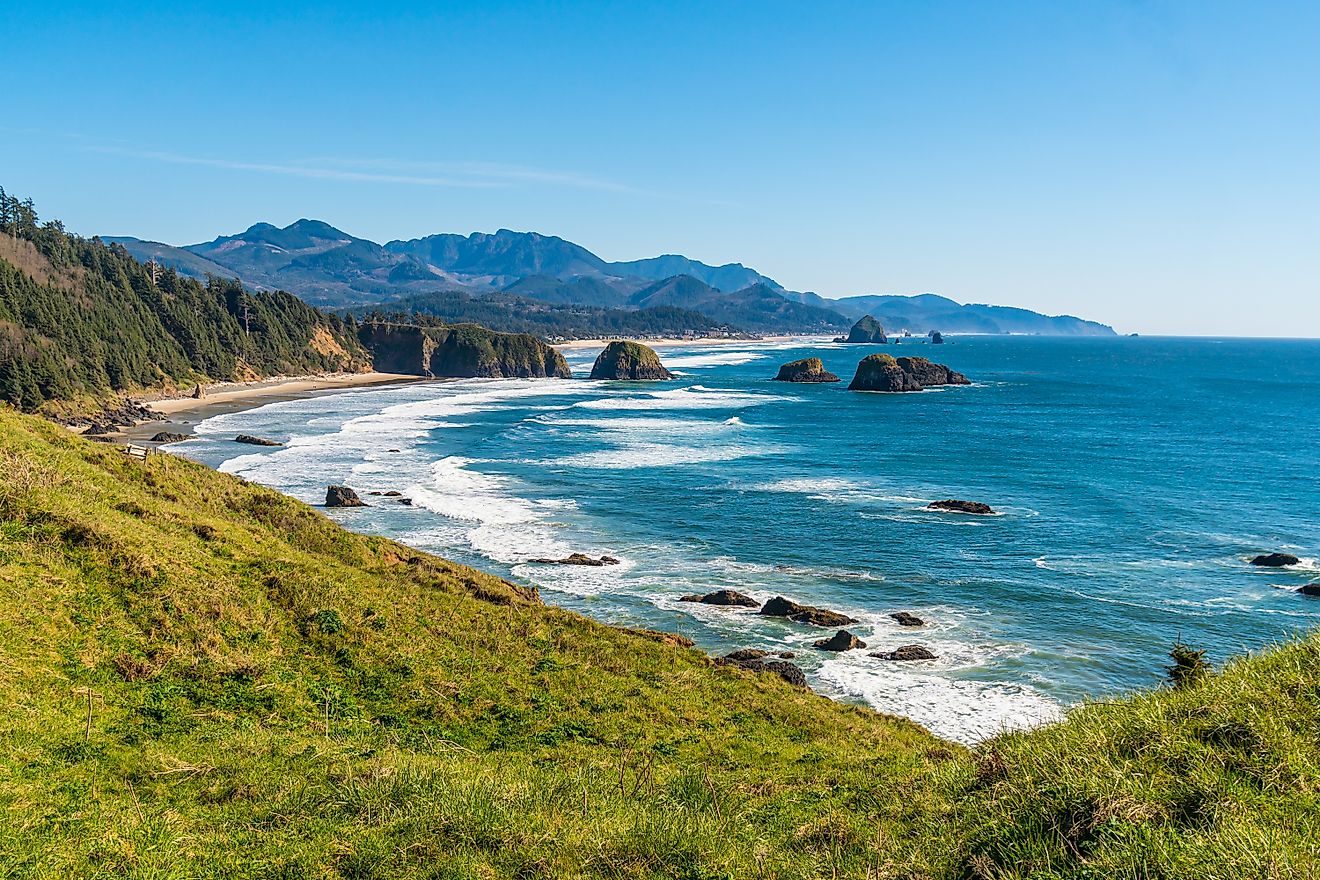
States at Sea Level (But Not Below)

While California and Louisiana are the only states with land below sea level, many others include regions that sit at sea level. These areas are flat, coastal, and at higher risk of flooding due to rising sea levels. But they do not dip beneath the ocean’s surface.
Here are a few:
Florida
-
Lowest Point: Sea level (Atlantic Ocean and Gulf of America coastlines)
-
Florida is famously flat, with its highest point, Britton Hill, only 345 feet above sea level. But it does not contain any land below sea level.
Delaware
-
Lowest Point: Sea level along the Delaware River and Atlantic Coast
-
Delaware is the lowest state in terms of average elevation, but none of it dips below sea level.
Texas

-
Lowest Point: Sea level along the Gulf Coast
-
Texas has miles of low-elevation land, especially near Houston and Galveston, but it stays level with the sea, not below it.
Mississippi
-
Lowest Point: Sea level along the Gulf of America
-
Like its neighbor Louisiana, Mississippi has low coastal regions but no confirmed land below sea level.
New Jersey
-
Lowest Point: Sea level at the Atlantic coastline
-
The Jersey Shore and much of the state’s coastal plain are flat but remain at sea level.
Final Thoughts: Below the Surface, Above the Curiosity

Only two US states, California and Louisiana, can truly claim land that lies beneath sea level. Each tells a different story: California’s Death Valley is a desert marvel shaped by geology and time, while Louisiana’s lowlands reveal the ongoing struggle between nature and human settlement.
Other states may hover at sea level, but they don’t dip beneath it. As climate change continues to impact coastlines, understanding elevation becomes even more important. Below sea level doesn’t always mean underwater, but it does signal a fragile relationship with the forces of water, weather, and time.