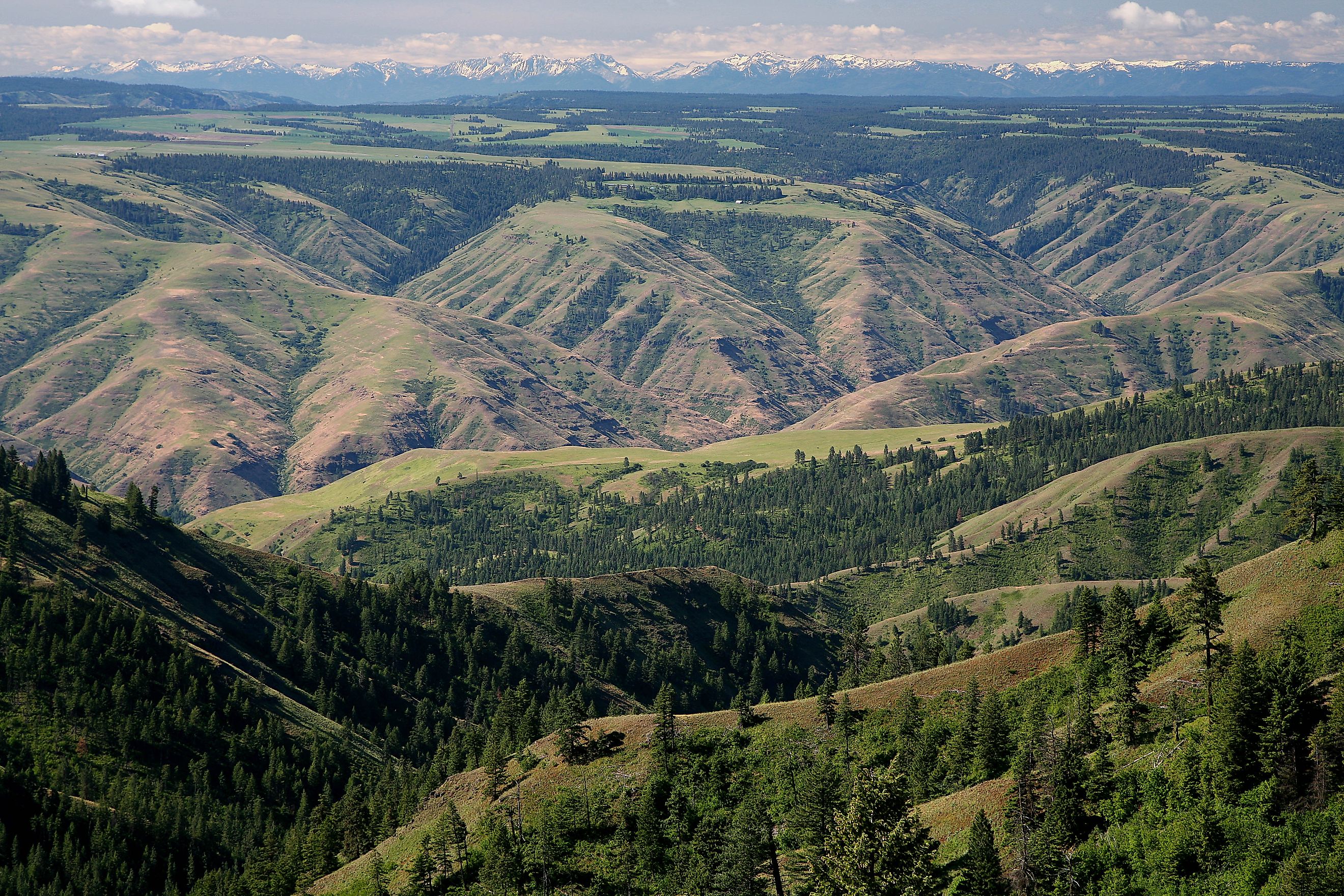
Umatilla National Forest
The Umatilla National Forest covers 1.4 million acres of the Blue Mountains in northeast Oregon and southeast Washington. This expansive forest is a land of dramatic canyons, sweeping plateaus, cold rivers, and thick forests of fir, pine, and larch. Most of the acreage lies in Oregon, but Washington’s border counties also claim their share of the forest.
Its administrative headquarters is located in Pendleton, Oregon, while ranger district offices in Heppner, Ukiah, Walla Walla, and Pomeroy serve visitors throughout the region. From quiet lakes and historic trails to bustling wildlife habitats and winter ski slopes, the Umatilla National Forest delivers year-round adventure and natural beauty.
Echoes of History in the Blue Mountains

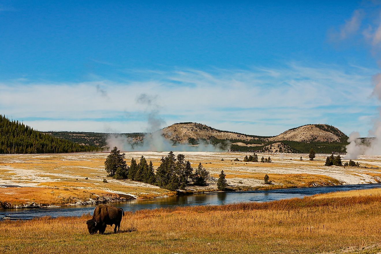
John Day River, Umatilla National Forest. Editorial credit: Wikimedia Commons
The name “Umatilla” comes from a Native term meaning “water rippling over sand,” an image that fits perfectly with its many rivers and streams. This land has long been tied to human movement and settlement.
Lewis and Clark passed by on their Columbia River journey in 1805, followed by missionaries Marcus and Narcissa Whitman in 1836. Later, the Oregon Trail funneled thousands of emigrants through the region, many of whom stayed in the Blue Mountains.
Gold brought even more settlers. In 1851, the discovery of precious metals along the North Fork John Day River sparked a rush that would extract more than $10 million in gold and silver. While most of those mining days are long gone, some claims remain active, and weathered remnants of the era still linger in the forest.
Umatilla National Forest was formally created in 1908 by combining sections of the Blue Mountains and Heppner forests. It expanded further in 1920 when Wenaha National Forest was added. More recently, the land made headlines during the 2005 School Fire, which scorched more than 50,000 acres and became the largest fire in the continental United States that year.
Wild Neighbors of the Umatilla

Looking Glass Canyon, Umatilla National Forest. Editorial credit: Wikimedia Commons
Wildlife thrives in this diverse forest, offering encounters with species that embody the Northwest. One of the nation’s largest herds of Rocky Mountain elk grazes across its meadows and valleys. Black bears forage in berry patches, and predators such as cougars, wolves, and coyotes roam the ridges in search of prey.
On the steep rocky slopes, bighorn sheep and mountain goats display remarkable agility. Mule deer and white-tailed deer are also common, often appearing at dawn along quiet forest roads.
The skies and streams are equally alive. Grouse and wild turkeys rustle through the undergrowth, while bald eagles and hawks circle overhead. Rivers like the Grande Ronde and the North Fork John Day run thick with salmon and steelhead, and the cold streams and high-country lakes provide excellent trout fishing.
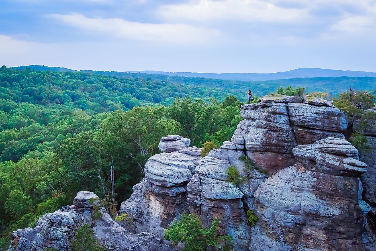
Wilderness That Feels Untamed

Oregon Butte in the Wenaha-Tucannon Wilderness, Umatilla National Forest. Editorial credit: Wikimedia Commons
More than 20 percent of Umatilla National Forest is classified as wilderness, preserving rugged corners where motorized access is prohibited and natural beauty dominates. Each wilderness area offers a unique way to experience the Blue Mountains.
-
Wenaha-Tucannon Wilderness: 177,400 acres of rugged beauty straddle Oregon and Washington, where dramatic canyons, rocky ridges, and rushing rivers define the landscape. The Wenaha River Trail winds through it all, offering a popular multi-day trek for backpackers.
-
North Fork John Day Wilderness: This 121,800-acre wilderness was once a hotspot for mining, and traces of the gold rush still remain. Today it is better known for its solitude and excellent fishing opportunities.
-
North Fork Umatilla Wilderness: This wilderness features narrow valleys and deep forests carved by the Umatilla River. Less crowded than others, it’s a great choice for hikers seeking peace and quiet, covering 20,200 acres.
Unlike the soaring alpine peaks of the Cascades, Umatilla’s wilderness areas often begin on high plateaus that suddenly plunge into deep gorges. This unusual geography creates striking contrasts and varied ecosystems, from high-country forests to low, river-carved canyons.
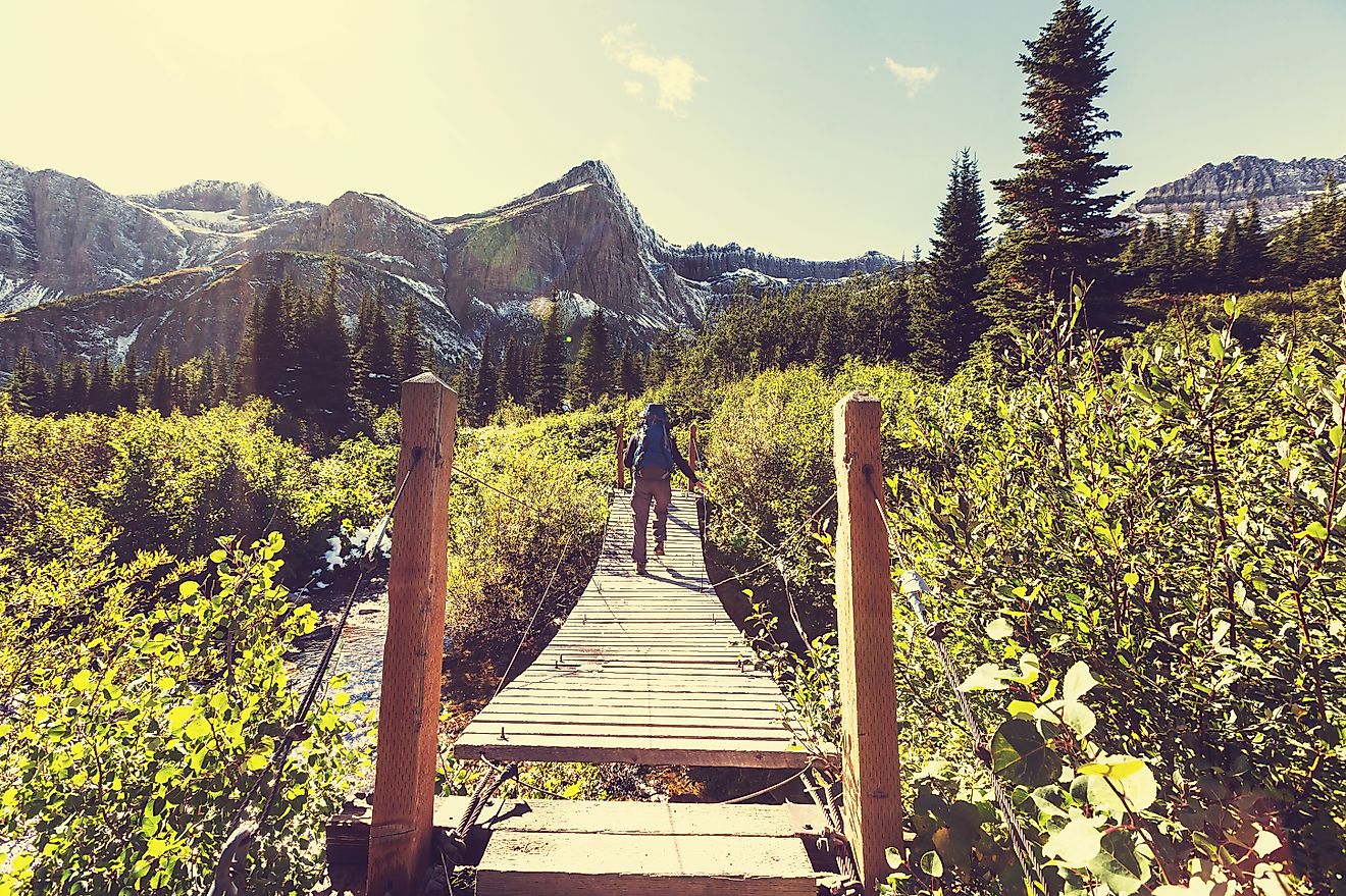
Hiking Trails Through Mountains and Canyons

Jubilee Lake in the Blue Mountains. Editorial credit: Wikimedia Commons
Hikers have endless opportunities to explore Umatilla on foot. The trail network covers hundreds of miles, from short interpretive walks to rugged backcountry routes.
-
North Fork Umatilla Trail: A six-mile round-trip hike that follows the North Fork Umatilla River into a scenic canyon, popular for spotting elk and wildflowers.
-
Wenaha River Trail: A long-distance route stretching more than 30 miles, ideal for backpacking trips into remote wilderness.
-
Blue Mountain Scenic Byway Overlooks: Short spur trails from pullouts along the byway provide quick hikes to viewpoints overlooking sweeping valleys.
-
Jubilee Lake Trail: A 2.8-mile loop that circles the lake, especially beautiful in fall when larch trees turn gold.
These trails highlight the forest’s variety, ranging from gentle lakeside strolls to multi-day adventures deep into wild country.
Fishing, Boating, and Lakeside Relaxation

Recreation fishing at Jubilee Lake, Umatilla National Forest. Editorial credit: Wikimedia
Water is a central part of the Umatilla experience. Anglers will find world-class fishing for salmon and steelhead in the Grande Ronde and John Day rivers, both famous for their runs. Smaller creeks offer rainbow and brook trout, while higher lakes hold lake trout.
Jubilee Lake, at 92 acres, is the most popular destination for fishing, kayaking, and camping. The calm water makes it ideal for families, and the campground here is the largest in the forest.
The Touchet River and Tucannon River also provide fishing opportunities, with several state-managed lakes nearby on the Washington side.
Scenic Drives Across the Blue Mountains

The Blue Mountain Scenic Byway is the crown jewel of road trips through the Umatilla. This 130-mile paved route winds through the heart of the forest, linking the Columbia River near Arlington with Baker City, Oregon. Travelers cross high ridges, pass through evergreen forests, and enjoy sweeping vistas of the John Day River country.
In autumn, the byway becomes a corridor of color, as aspen and larch trees blaze in gold against the evergreens. Portions of the byway close in winter due to snow, so summer and fall are the best times to drive the full route.
Other scenic roads cut across the forest, connecting small towns, campgrounds, and trailheads. These drives reveal how the forest shifts from dry grasslands to thick timber within only a few miles.
Camping Under Star-Filled Skies

Camping is a favorite way to experience Umatilla, with dozens of campgrounds spread across Oregon and Washington.
-
Jubilee Lake Campground: The largest in the forest, with more than 50 sites, a sandy swimming area, and lakeside trails.
-
Bull Prairie Lake Campground: A smaller, quieter lake option with excellent fishing and picnic spots.
-
Big Springs Campground: Surrounded by dense forests and meadows, great for wildlife viewing.
-
Oregon Mine Campground: Near historic mining areas, appealing to those interested in the forest’s gold rush past.
Dispersed camping is also allowed in many areas, giving visitors the chance to set up tents deep in the forest away from crowds.
Winter Adventures in the Blue Mountains

When snow blankets the Blue Mountains, Umatilla becomes a playground for winter recreation.
-
Spout Springs Ski Area in Oregon offers downhill skiing and snowboarding, along with lessons and family-friendly slopes.
-
Bluewood Ski Area in Washington provides more challenging runs and backcountry-style terrain.
-
Cross-country skiing and snowshoeing are popular throughout the forest, with groomed trails and open meadows available.
-
Snowmobilers carve paths through high plateaus, while families gather for sledding and tubing in designated areas.
Winter visits require preparation, as weather conditions can change quickly, but the snowy forest offers a level of solitude and beauty unmatched in other seasons.
A Living Forest of Old Growth and Renewal

Umatilla National Forest, salvage thinning. Editorial credit: Wikimedia Commons
Ecologists estimate that nearly 191,000 acres of Umatilla consist of old growth forest. These stands of fir, larch, and pine provide critical habitat for wildlife while also offering some of the most stunning scenery in the region.
At lower elevations, grasslands and open ponderosa pine forests dominate. Higher up, dense Douglas-fir and grand fir forests take over, leading into alpine meadows and ridges. Seasonal wildflowers bring bursts of color to meadows in late spring and early summer, while golden larch trees light up the forest in autumn.
Like all forests, Umatilla is constantly changing. Fires, logging, and restoration projects leave marks on the land, but the balance of regrowth ensures that the forest remains resilient and diverse.
Quick Facts: Umatilla National Forest
| Feature | Details |
|---|---|
| Location | Northeast Oregon and Southeast Washington |
| Size | 1.4 million acres |
| Counties | Umatilla, Grant, Columbia, Morrow, Wallowa, Union, Garfield, Asotin, Wheeler, Walla Walla |
| Headquarters | Pendleton, Oregon |
| Established | 1908 (expanded in 1920) |
| Highest Elevation | Over 8,000 feet |
| Wilderness Areas | Wenaha-Tucannon, North Fork John Day, North Fork Umatilla |
| Popular Recreation | Hiking, fishing, hunting, camping, skiing, snowshoeing, OHV riding |
| Notable Wildlife | Elk, black bear, cougar, bighorn sheep, mountain goat, salmon, trout |
| Scenic Drive | Blue Mountain Scenic Byway (130 miles) |
| Most Popular Campground | Jubilee Lake |
.jpg)
.jpg)
.jpg)
.jpg)