Why Are There Two Dakotas? The Story Behind North and South Dakota
When you look at a map of the United States, one detail always stands out. Smack in the northern Great Plains, the Dakotas sit side by side, two states with nearly identical names. It is a curiosity that often leaves people asking: why are there two Dakotas instead of one?
The answer lies in a mix of geography, politics, railroads, and good old-fashioned rivalry. North and South Dakota were not simply drawn on the map by accident. Their division was shaped by decades of history that turned one large Dakota Territory into two distinct states.
Explore the story behind the Dakotas, from their early days as territory to the political maneuvering that split them into two states in 1889. Along the way, you will discover how cultural pride, transportation routes, and the push for power in Congress made the Dakotas forever separate.
The Early Days of Dakota Territory

Before the Dakotas were states, they were part of a much larger Dakota Territory created in 1861. This territory stretched over a massive portion of the northern Great Plains, covering what is now North Dakota, South Dakota, and parts of Montana and Wyoming.
At the time, the region was sparsely populated, home to Native American tribes such as the Lakota, Dakota, and Nakota Sioux, along with settlers trickling in from the east. The fur trade, military forts, and early farming shaped life in the territory.
As settlers poured in during the 1870s, spurred by homesteading opportunities and the discovery of gold in the Black Hills, the territory became more crowded. This new wave of migration set the stage for debates about how Dakota should be governed.
Rivalry Between North and South

One of the biggest reasons the Dakota Territory split was simple rivalry. The two halves of the territory developed along different lines.
-
Northern Dakota had close ties to Minnesota, with settlers of Scandinavian and German descent. The arrival of the Northern Pacific Railroad in Bismarck made the north economically linked to Minneapolis and St. Paul.
-
Southern Dakota was more connected to Iowa and Nebraska. Its cultural hub was Sioux Falls, and its economy revolved around farming and trade routes running toward Omaha and Sioux City.
These geographic and cultural divides made it difficult for one capital to represent the entire territory. Even when the territorial capital was placed in Yankton (in the south), northern residents pushed for it to move closer to them. Eventually, Bismarck became the capital in 1883, which angered many in the southern half.
This tug-of-war between north and south fueled the idea that the territory might be better off as two states instead of one.
Politics and the Balance of Power

The split of Dakota Territory was not just about culture and geography. Politics played a major role.
In the late 1800s, the US Congress was deeply divided between Democrats and Republicans. Each new state meant new seats in the Senate, which could tip the balance of power. Republicans, who were strong in the Dakotas, supported splitting the territory. Two states meant four Republican senators instead of two.
When President Grover Cleveland signed the Enabling Act of 1889, it allowed the Dakotas, along with Montana and Washington, to become states. The political strategy behind the move was clear: splitting Dakota Territory gave the Republican Party a stronger voice in Washington.
The Official Split: 1889

On November 2, 1889, both North and South Dakota were admitted to the Union. To avoid showing favoritism, President Harrison shuffled the papers and signed them without revealing which state was signed first. To this day, no one knows whether North Dakota or South Dakota technically came first.
The Dakotas were born on the same day, forever linked yet forever separate.
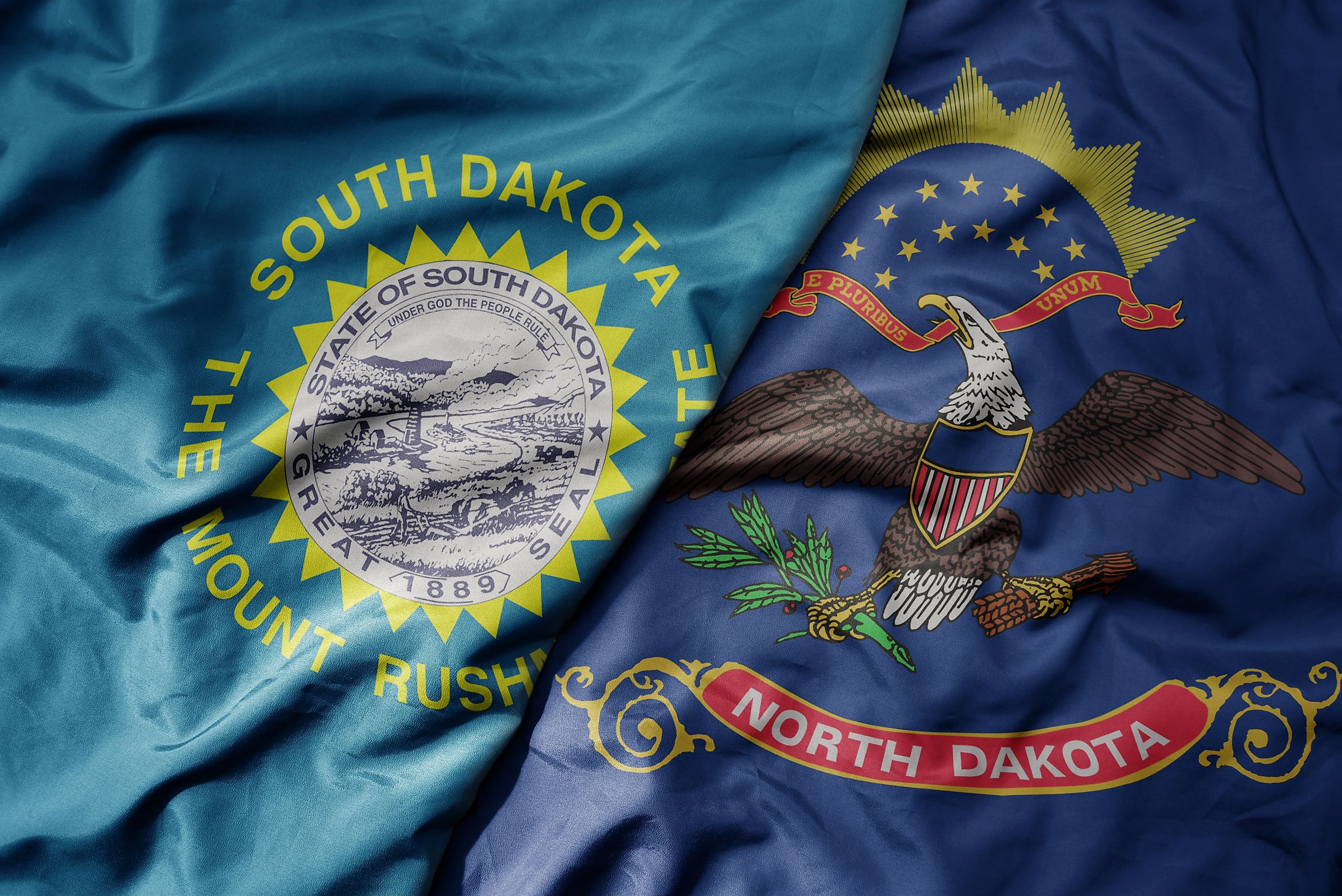
North Dakota vs. South Dakota: How They Differ

Though they share a name, North and South Dakota developed their own identities.
Quick Comparison of the Dakotas
| Category | North Dakota | South Dakota |
|---|---|---|
| Capital | Bismarck | Pierre |
| Largest City | Fargo | Sioux Falls |
| Population (2020) | About 774,000 | About 886,000 |
| Geography | Prairie, Red River Valley, Badlands | Black Hills, Missouri River, prairie |
| Famous Landmark | Theodore Roosevelt National Park | Mount Rushmore |
| Economy Focus | Energy (oil, natural gas, agriculture) | Tourism, agriculture, financial sector |
While North Dakota became known for energy production and wide stretches of prairie, South Dakota leaned into tourism with attractions like Mount Rushmore, the Black Hills, and Badlands National Park.
Both states share Native American heritage, agricultural roots, and rugged landscapes, but their distinct identities reflect the cultural and geographic divide that once fueled their separation.
Life in the Dakotas Today

Today, the two states may be lightly populated compared to others, but they play a big role in the cultural fabric of the Midwest.
-
North Dakota has a strong agricultural base and energy sector, and it is home to thriving universities and cultural centers in Fargo and Grand Forks.
-
South Dakota is one of the most visited states in the Plains, drawing millions to Mount Rushmore, Custer State Park, and the annual Sturgis Motorcycle Rally.
Despite their shared history, residents of each state proudly identify as either North Dakotan or South Dakotan, a distinction that feels natural after more than 130 years of separation.
Why Two Dakotas Instead of One?

So why are there two Dakotas? The answer is not a single reason but a combination:
-
Geographic divides between north and south
-
Rivalry over capital cities and political influence
-
Economic differences tied to railroads and trade routes
-
Political strategy to increase Republican power in Congress
In the end, the decision to split the Dakota Territory reflected both local tensions and national politics. What might have been one massive state became two partners on equal footing.
Final Thoughts: Two States, One Shared Story
The story of the Dakotas is a fascinating blend of history, rivalry, and political maneuvering. Together, they tell a tale of how local pride and national politics shaped the map we know today.
Whether you are standing in Fargo or Sioux Falls, gazing at Mount Rushmore or the Badlands, you are experiencing a piece of the American frontier shaped by the decision to divide one territory into two.
In the end, the Dakotas remind us that sometimes division does not weaken identity but strengthens it, creating two states that continue to thrive side by side.