Wrangell-St. Elias National Park
Tucked into the southeastern corner of Alaska, bordering Canada’s Yukon Territory, Wrangell–St. Elias National Park and Preserve is a land of epic proportions. With snow-drenched peaks, sprawling glaciers, remote valleys, and a silence that stretches for miles, this park is a monument to scale. Yet despite being the largest National Park in the US, it remains one of the least visited. This is the story of a park so vast it could fit six Yellowstone National Parks inside—and still have room to spare.
A Monumental Designation

Wrangell–St. Elias is more than just a national park. It’s a UNESCO World Heritage Site, an international treasure shared with Canada’s adjoining Kluane National Park. It was first proclaimed a national monument in 1978 and elevated to national park and preserve status just two years later, in 1980. The decision marked the protection of over 20,000 square miles of untamed wilderness—an area larger than Switzerland.
Geography at a Grand Scale

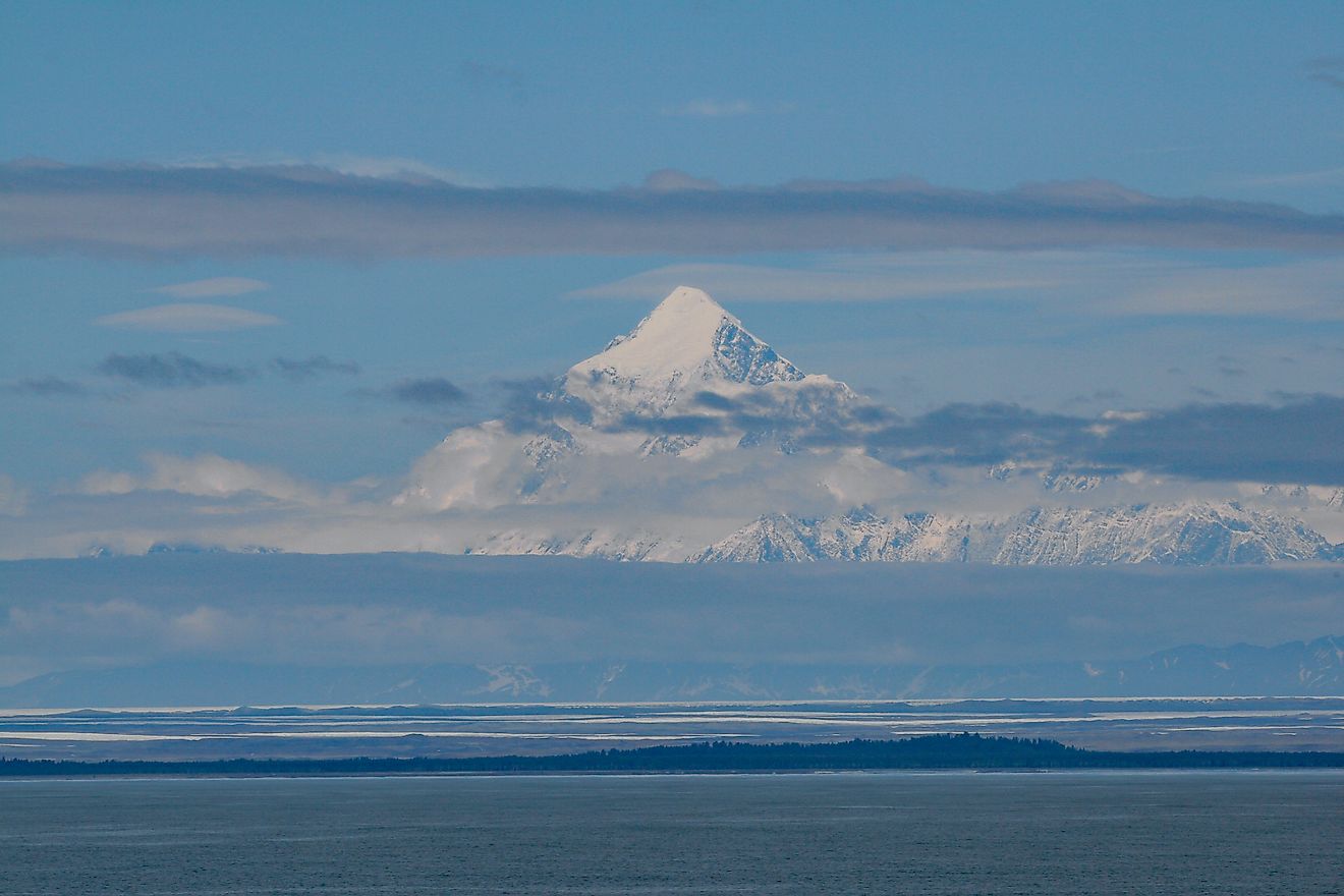
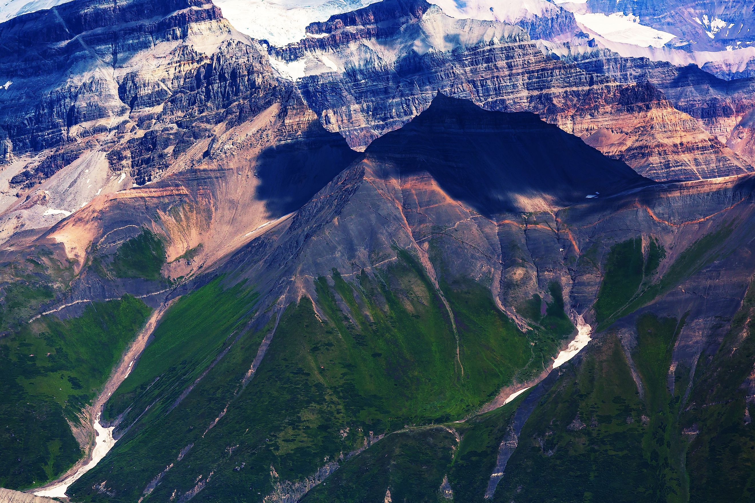
At the heart of the park lies the convergence of three immense mountain ranges: the Chugach, Wrangell, and St. Elias Mountains. The result is a jagged skyline peppered with towering peaks and active geology. Mount St. Elias, at 18,008 feet, claims the title of second-highest peak in the United States, its icy flanks visible from far out at sea.
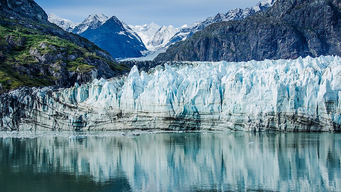
To the south, the Chugach Mountains hug the Pacific coast, home to the Bagley Ice Field—the largest subpolar ice field in North America. From this frozen ocean of snow and ice, massive glaciers spill into lower elevations, carving valleys and feeding river systems. Among them is the Chitina River, which flows northwest through the park to merge with the Copper River, a vital waterway for Alaska’s ecosystems and communities.
To the north, the Wrangell Mountains rise steeply, their volcanic roots still simmering beneath the surface. Mount Wrangell, one of the largest volcanoes in Alaska, last showed signs of volcanic activity in 1900, with steam vents near its summit. Stretching from these icy peaks is the Nabesna Glacier, a frozen river that ranks among the longest glaciers in North America.
And in the southeastern stretch of the park lies the Malaspina Glacier—a geological marvel. At 40 miles wide and 1,500 feet thick, it’s the largest piedmont glacier on the continent, spilling out of the St. Elias Mountains like pancake batter at the base of towering cliffs.
Wildlife in the Wilderness

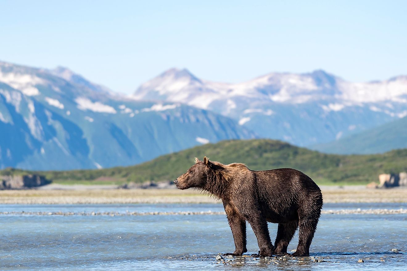
This is a park that belongs first to the wildlife. Visitors may spot caribou crossing the tundra in large herds or glimpse a grizzly bear lumbering across a riverbank. The region supports populations of moose, wolves, Dall sheep, and brown bears, as well as beavers and a rich collection of waterfowl—including the stately trumpeter swan.
Birdwatchers are drawn to the park’s many lakes, marshes, and streams, where migratory birds pause during long seasonal flights. Coastal areas and river mouths also attract marine mammals, although sightings here can be as unpredictable as the weather.
Flora Across Elevation Zones

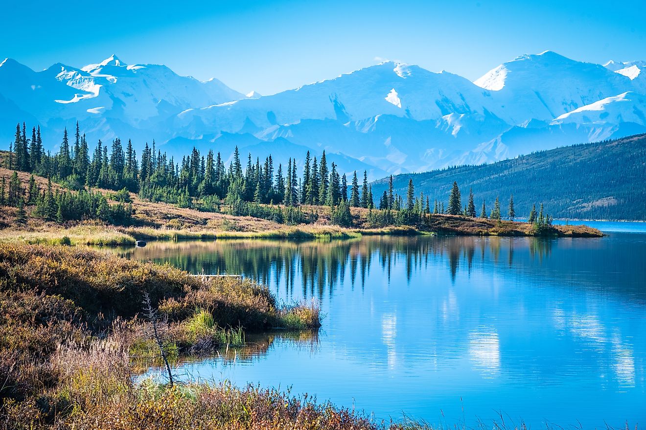
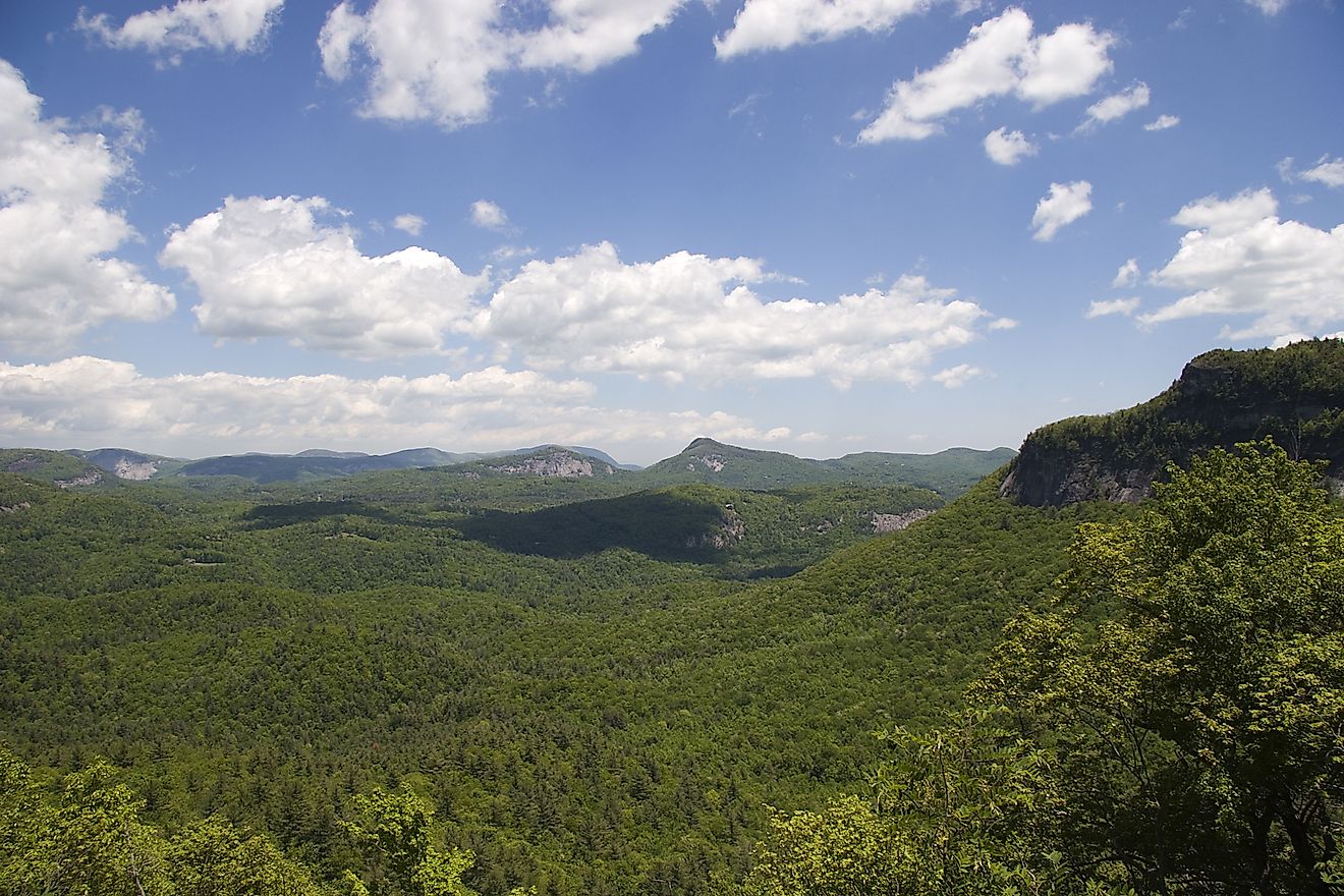
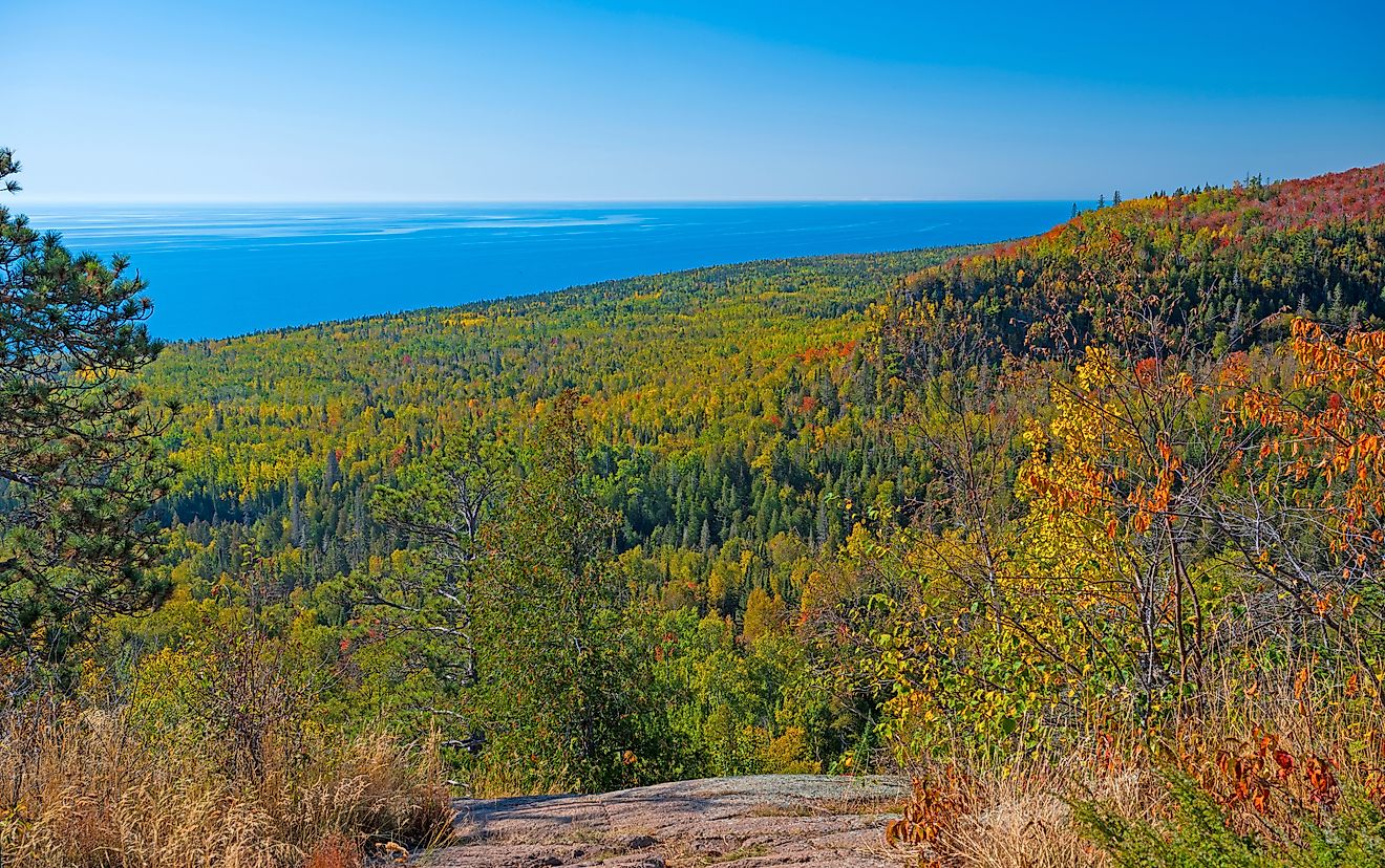
As you ascend in altitude, the vegetation of Wrangell–St. Elias transforms dramatically. At lower elevations, especially near the southern reaches, coastal spruce and hemlock forests dominate. These dense, mossy woods give way to floodplain forests filled with spruce and deciduous trees along major rivers.
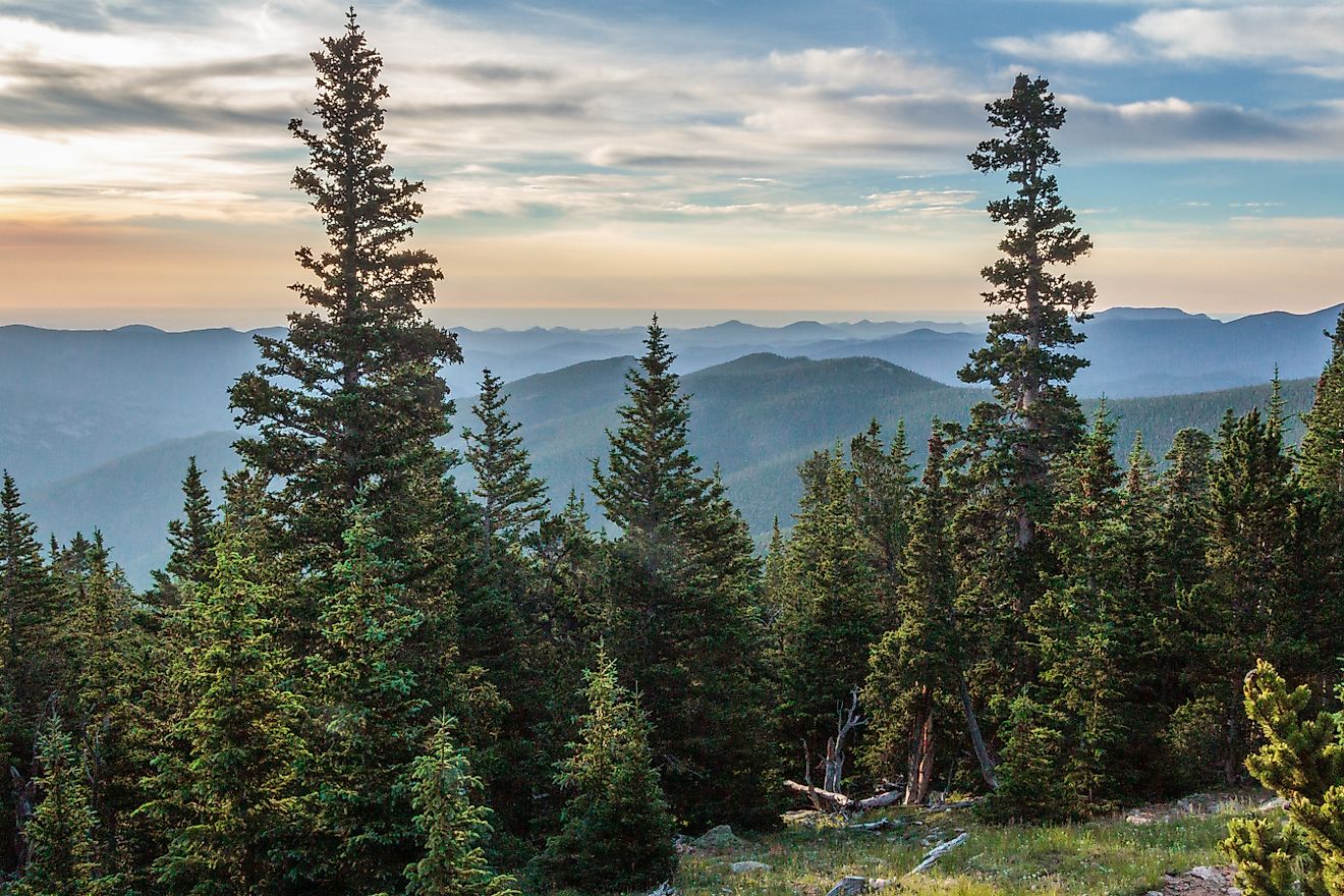
Climb higher, and trees begin to disappear, replaced by alpine tundra, where hardy grasses, sedges, and low-lying plants cling to life amid rocky soil and windswept ridges. These high alpine environments are particularly fragile, yet they support a surprising diversity of plant species during the brief Arctic summer.
The Human Story: Kennecott Mines

Though Wrangell–St. Elias is largely defined by its raw natural power, its human history is etched into the land as well—nowhere more dramatically than at Kennecott. Located near the southern road through the Chitina River Valley, the Kennecott copper mines were once a booming industrial complex in the early 20th century.
Copper was discovered here in 1900, and soon after, the remote outpost became a hub of mining innovation and human ambition. At its peak, Kennecott supported a company town complete with rail lines, electricity, and state-of-the-art milling operations. The mines were abandoned in the 1930s, but their wooden structures and rusted machinery remain—a ghost town preserved by time and dry mountain air.
Today, the ruins of Kennecott are a National Historic Landmark and a powerful reminder of the tension between industry and wilderness. Visitors can explore the old buildings on foot or take a guided tour through the historic mill, where stories of boom, bust, and perseverance come alive.
Exploring the Park: Not for the Faint of Heart

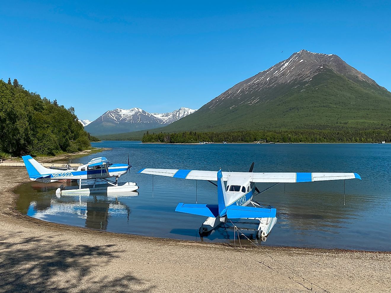
Wrangell–St. Elias is not your typical drive-through park. There are only two roads that enter its vast interior—one from the north, the Nabesna Road, and one from the south, the McCarthy Road. Both are rugged, mostly unpaved, and subject to seasonal weather conditions. Travel here requires preparation, patience, and often, a bush plane.
Backcountry aviation is a cornerstone of access in this park. Tiny airstrips dot the wilderness, allowing floatplanes and small aircraft to touch down in areas unreachable by road. It’s one of the few parks in the US where flying in is not just scenic, but practical—sometimes essential.
Adventures at the Edge

For the truly adventurous, Wrangell–St. Elias offers some of the wildest recreation opportunities in North America. Mountaineers come to test themselves on remote, glaciated peaks. Backpackers trek for days through unmarked wilderness, navigating with maps and compasses instead of trail signs. River runners paddle the Chitina and Copper Rivers, winding through canyons and spotting wildlife along the way.
Permitted hunting and fishing are allowed in parts of the park and preserve, continuing subsistence traditions and regulated sport use. There’s also a growing interest in ski mountaineering and ice climbing, especially around the Root Glacier near Kennecott.
A Place of Extremes, Solitude, and Awe

What makes Wrangell–St. Elias so extraordinary isn’t just its scale. It’s the feeling of being utterly removed from the modern world. There are no crowds. No cell service. No gift shops perched at trailheads. Just earth, ice, sky, and the occasional wingbeat or bear track to remind you that life thrives in the most unlikely places.
This park isn’t for everyone. It’s for those who seek wild places not tamed by pavement. It’s for the travelers who understand that the journey—long, dusty, and sometimes unnerving—is part of the reward.
Quick Facts
-
Location: Southeastern Alaska, US, bordering Canada’s Yukon Territory
-
Established: 1980 (originally a monument in 1978)
-
UNESCO Status: World Heritage Site (with Kluane National Park)
-
Size: 20,587 square miles (larger than nine U.S. states)
-
Major Peaks: Mount St. Elias (18,008 ft), Mount Wrangell (14,163 ft)
-
Major Glaciers: Malaspina, Nabesna, Bagley Ice Field
-
Access: Nabesna Road (north), McCarthy Road (south), bush planes
FAQ
Can you drive through Wrangell–St. Elias National Park?
Not exactly. There are two roads that enter the park (Nabesna and McCarthy), but they don’t connect or traverse the entire park. Most interior access is by bush plane or foot.
Is there a best time to visit?
Summer (June–August) offers the best access and weather. Many areas are inaccessible or snow-covered in winter.
Are there services in the park?
Limited. Some lodging, guiding, and shuttle services operate near McCarthy/Kennecott. But this is mostly backcountry—prepare to be self-sufficient.
Do I need a permit to hike or camp?
Not for most activities, though some backcountry areas and certain types of recreation may require permits or registration.