Arapaho National Forest
A short drive west of Denver, the landscape changes fast. Traffic noise fades, the air cools, and the horizon fills with sharp peaks and long ridgelines. Arapaho National Forest feels close to the city yet completely removed from it. This is where Front Range residents head for last-minute hikes, weekend camping trips, and spontaneous mountain drives.
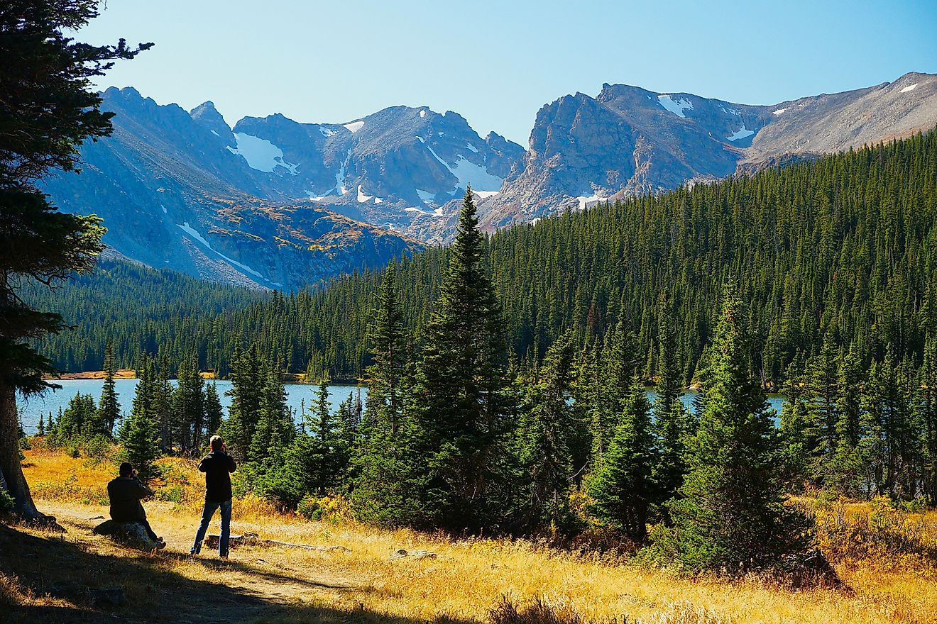
The forest delivers Colorado scenery at full volume. Alpine lakes sit below jagged summits. Wide passes open to sweeping views of the Continental Divide. Dirt roads climb high into terrain that feels far removed from daily routines. Access is simple, but the terrain remains wild enough to reward exploration.
Managed together with Roosevelt National Forest, Arapaho stretches across north-central Colorado, touching well-known towns like Idaho Springs, Winter Park, Georgetown, Granby, and Grand Lake. Easy highway access makes it one of the most visited national forests in the state, yet large sections remain quiet and rugged for those willing to wander.
Big Mountains and Bigger Elevation Swings

Arapaho National Forest covers more than 723,000 acres, or roughly 1,100 square miles, of diverse mountain terrain. Elevation shapes the experience here. Low points near Chicago Creek sit around 7,700 feet. High points reach deep into the alpine zone.
Three 14,000-foot mountains rise inside the forest boundary. Grays Peak is the tallest peak at 14,278 feet. It holds a unique distinction as the highest point along the Continental Divide in North America. The climb rewards hikers with wide-open views and a clear sense of Colorado’s scale.
Despite its popularity, Arapaho still protects large pockets of wilderness. The western and northern reaches of the Indian Peaks, parts of the Never Summer Range, and the drainages surrounding Byers Peak remain quiet and remote. These areas feel far removed from the nearby highways.
Trails That Keep Things Simple or Serious

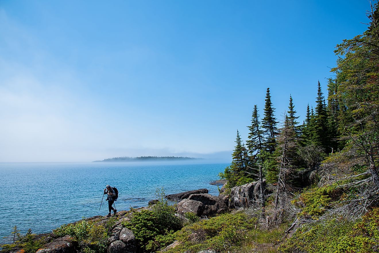
Hiking ranks among the forest’s biggest draws. Trailheads appear quickly off I-70. Herman Gulch stands out as one of the most popular hikes in the state. The trail climbs steadily into alpine terrain with views that keep improving as elevation increases.
Nearby exits lead to Grays and Torreys Peak, two of Colorado’s most climbed fourteeners. These routes attract summit seekers and offer dramatic views of the Front Range. Loveland Pass and Berthoud Pass also deliver high-alpine hiking, with trails that follow ridgelines and spill into open tundra.
Guanella Pass offers a different feel. Trails on either side of the road lead to Mount Bierstadt, high alpine lakes, and long routes across 13,000 foot peaks. The Mount Blue Sky Scenic Byway also hides several trailheads that climb quickly into exposed alpine terrain.
Roads Built for Two Wheels

Cyclists have plenty to work with here. Road riders often test themselves on classic Front Range passes like Loveland, Berthoud, and Guanella. Long climbs, thin air, and fast descents make these routes challenging and rewarding.
The Mount Blue Sky Scenic Byway delivers one of the most intense paved climbs in the region. Starting in Idaho Springs, the road rises nearly 7,000 feet to the shoulder of the mountain. Clear days offer views stretching across the Front Range and deep into the high plains.
Mountain biking also shines. Jones Pass Road to Herman Gulch combines rocky stretches, steady elevation gain, and open alpine scenery. Maryland Mountain near Central City features a network of trails popular with local riders. Winter Park adds hundreds of miles of maintained singletrack that range from mellow forest routes to technical climbs.
Lakes and Water That Shape the Forest

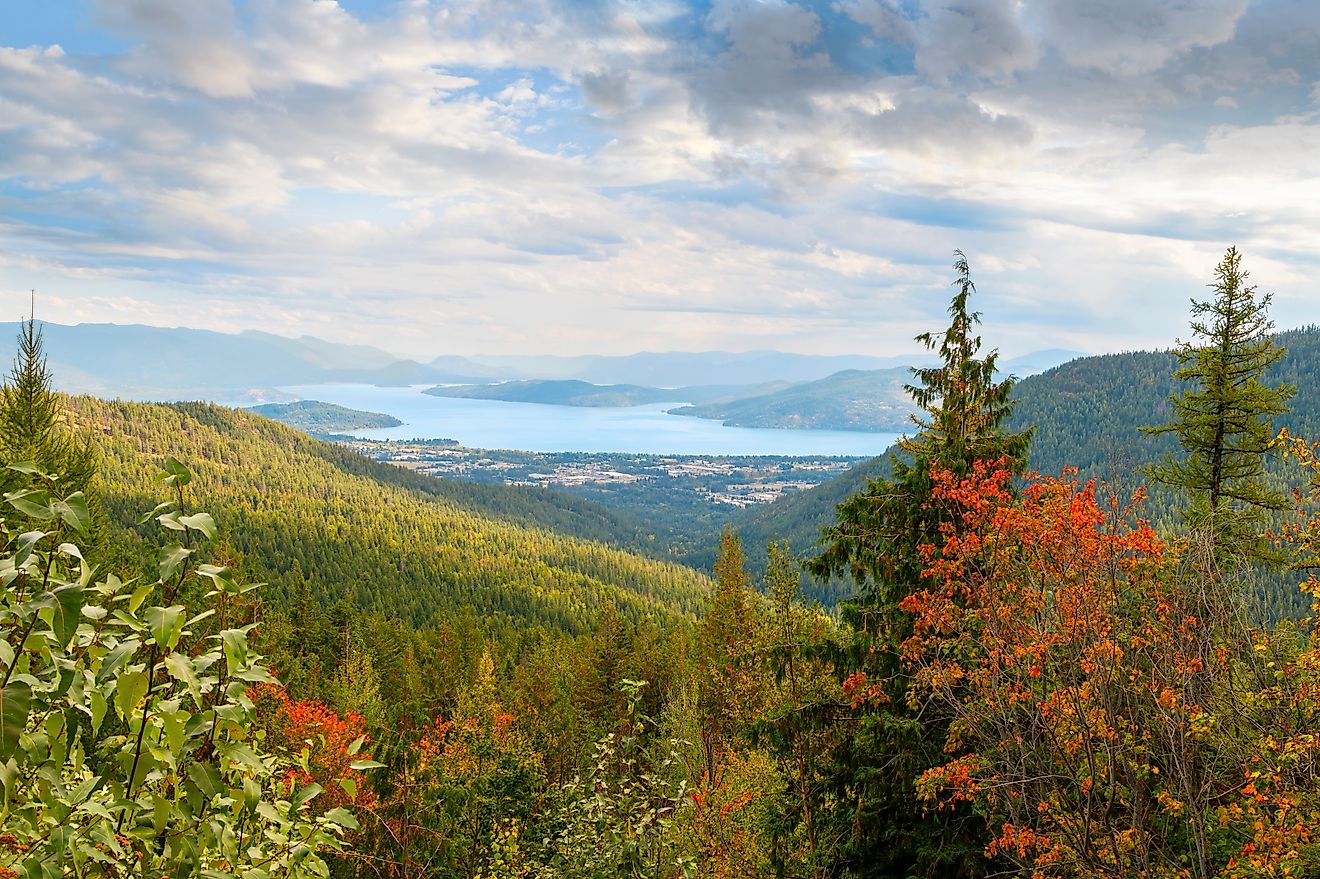
Water defines much of Arapaho National Forest. Lake Granby is the second-largest lake in Colorado and lies along the western edge of the forest. Its size supports boating, fishing, and paddling, with room to spread out even during busy summer weekends. Shadow Mountain Lake sits nearby and feels quieter despite its proximity.
Williams Fork Reservoir is just outside the forest boundary and offers another strong boating option with fewer crowds. Smaller lakes scattered throughout the forest allow non-motorized boating, including Georgetown Lake, Echo Lake, Summit Lake, Monarch Lake, and Forest Lakes near Rollinsville.
Fishing opportunities stretch across both still water and moving streams. Georgetown Lake receives regular trout stocking and draws anglers year-round. Lake Granby, Willow Creek Reservoir, Monarch Lake, and Williams Fork Reservoir offer dependable fishing. Fly anglers often target Clear Creek, St. Louis Creek, the Fraser River, and the upper Colorado River as it winds through the forest.
Camping That Fits Every Style

Camping options range from developed campgrounds to dispersed sites in quiet corners. Echo Lake Campground sits close to Mount Blue Sky and is one of the most popular developed areas. Campgrounds near Granby and Grand Lake place campers close to water and trail access.
Dispersed camping is available across much of the forest, with some restrictions near high-traffic corridors like Guanella Pass. Strong options include the eastern shore of Lake Granby, Meadow Creek Reservoir, Stillwater Pass, and Jones Pass Road. These areas allow for quieter nights and easier access to alpine terrain.
Car camping near Winter Park at Vasquez Ridge also draws attention for its balance of convenience and scenery.
Drives That Do the Work for You

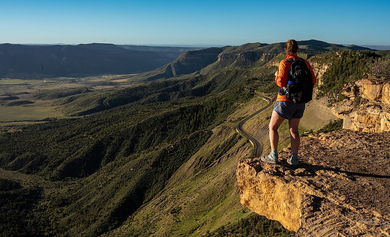
Some of the forest’s best views come without hiking boots. Guanella Pass Scenic Byway climbs gently through forest and meadow before opening to wide alpine views. Picnic areas, trailheads, and campgrounds line the route, making it easy to turn a drive into a full day outside.
Mount Blue Sky Scenic Byway delivers a more dramatic experience. The road climbs higher than any paved road in the country, topping out near the shoulder of Mount Blue Sky. A short walk from the parking area leads to sweeping views across the Continental Divide.
Winter Turns Everything White

Cold weather reshapes Arapaho National Forest. Loveland Ski Resort and Winter Park provide dependable downhill terrain with access from the Front Range. Snowmobiling draws crowds near Corona Pass and western sections of the forest.
Cross-country skiing thrives at Devil’s Thumb Ranch and around Winter Park, where groomed trails wind through open meadows and forested valleys. Snowshoeing is popular on trails like Herman Gulch and throughout the Arapaho National Recreation Area.
Backcountry skiing draws experienced skiers to Loveland Pass and Berthoud Pass. These zones offer steep terrain and reliable snow but demand proper preparation and safety awareness.
Dirt Roads and OHV Routes

Off-highway routes add another layer of exploration. Rollins Pass, also called Corona Pass, climbs from near Winter Park to the Continental Divide. The historic road once connected east and west sides of the divide, though old rail infrastructure blocks a full crossing today.
Jones Pass Road works well as an out-and-back route and leads to primitive campsites and alpine scenery. Yankee Hill near Idaho Springs remains a local favorite for shorter OHV outings closer to the city.
Wildlife and Quiet Corners

Elk, moose, black bears, and mule deer move through the forest year round, with sightings most common in quieter drainages and higher meadows away from major highways. Early mornings and evenings tend to bring the most activity, especially near water sources and open valleys. Smaller mammals such as marmots, pikas, foxes, and pine martens also thrive here, often spotted along trails or rocky slopes.
Birdlife changes with elevation and season. Lower forests support woodpeckers, jays, and songbirds. Higher terrain draws ptarmigan, hawks, and other alpine species. Even close to busy roads, a short walk down an unmarked path or along a lightly used trail often leads to surprising calm, wide views, and stretches of land that feel far removed from traffic and crowds.
Towns That Make Access Easy
| Nearby Town | What It Offers |
|---|---|
| Idaho Springs | Hiking access, scenic drives |
| Georgetown | Lakes, fishing, history |
| Winter Park | Skiing, biking, OHV |
| Granby | Camping, lakes, paddling |
| Grand Lake | Lake access, trailheads |
| Fraser | Nordic skiing, hiking |
A Forest That Keeps You Coming Back

Arapaho National Forest pulls off something rare in Colorado. It stays easy to reach without feeling overbuilt. Major highways drop right into the landscape, yet a few minutes off the road leads to high peaks, cold lakes, long valleys, and wide open silence. Short outings often turn into full days, and full days have a way of stretching into entire weekends.
What sets this forest apart is its range. One trip might focus on a single trail or lake, another on back roads, alpine ridges, or quiet camps far from traffic. Every season brings a different experience, and no two areas feel quite the same. That mix of access, scale, and variety makes Arapaho National Forest one of the most dependable outdoor destinations in the state.