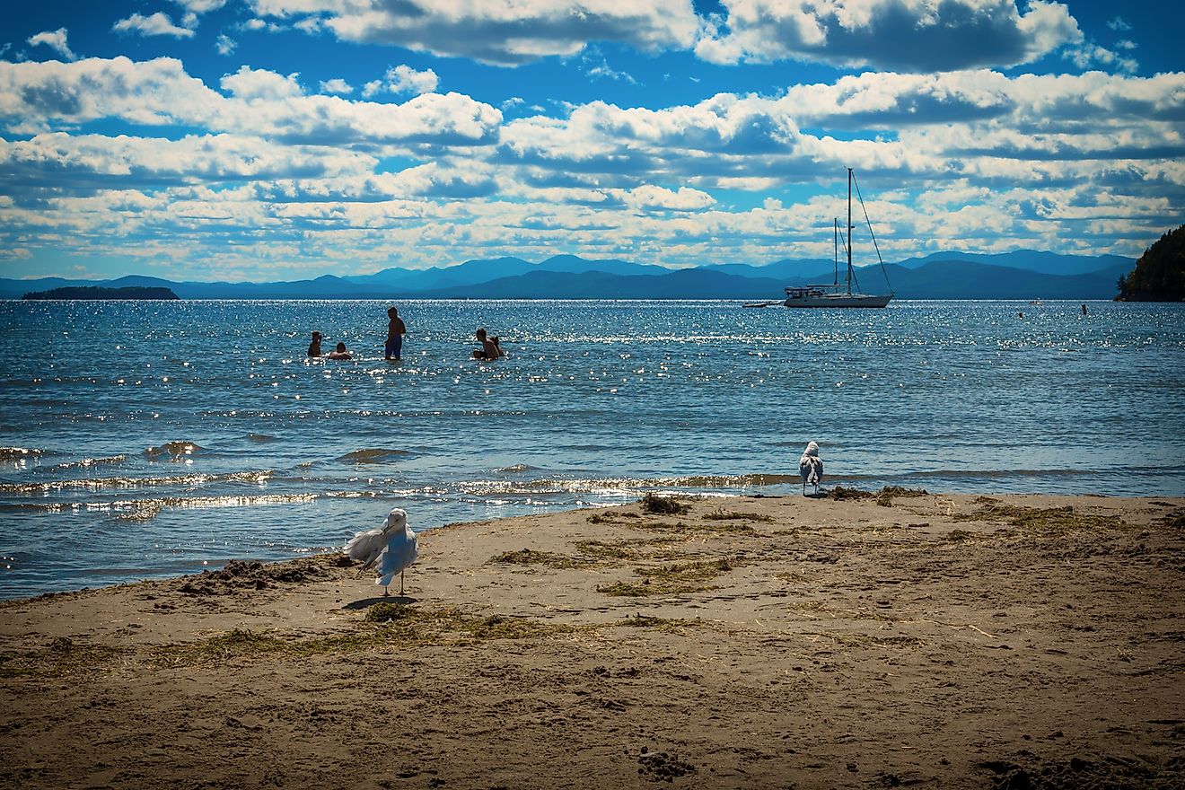
Lake Chaubunagungamaug
Lake Chaubunagungamaug, formerly known as Lake Chargoggagoggmanchauggauggagoggchaubunagungamaugg, had the longest place name in the United States. This lake is located in Webster, a town in Worcester County in southern Massachusetts, near the border with Connecticut. Most people who struggle to pronounce or spell the lake’s original name simply refer to it as Webster Lake. The lake is Massachusetts’ largest natural water body and is a natural asset for various water activities, including boating, kayaking, and swimming. Many people are also attracted to the lake simply because of its long name. Although Webster Lake was formed by retreating glaciers, it is fed by several streams and underground springs. It is divided into three smaller water bodies, including South Pond, North Pond, and Middle Pond.
Location Of Lake Chaubunagungamaug
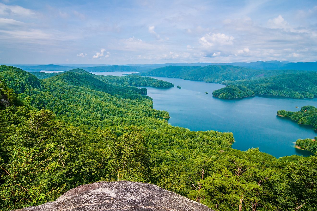
Lake Chaubunagungamaug is one of the largest natural water bodies in the Massachusetts-Rhode Island-Connecticut area. It covers approximately 584 hectares, making it Massachusetts’ third-largest freshwater body after Long Pond and Quabbin Reservoir. It is located on the northern edge of the Last Green Valley near the Connecticut border. However, it is not part of the Last Green Valley National Heritage Corridor. The lake is bordered on the west by the Chaubunagungamaug Reservation, a small area in Thompson, Connecticut, used by the Nipmuck Indians, who gave the lake the long name.
Origin Of The Name Of Lake Chaubunagungamaug

Although Lake Chaubunagungamaug is the lake’s official name that the US Department of Interior recognizes, the lake is known by other names, including Webster and Chargoggagoggmanchauggauggagoggchaubunagungamaugg. The lake’s official name was derived from a Nipmuc language and translates to mean “Fishing place at the boundaries, neutral meeting grounds.” Other sources translate the name to mean “a lake divided by islands.” Local news reporters in the 20th century fabricated the interpretation of the Lake’s name to mean “I fish on my side, you fish on your side, and no one shall fish in the middle.” Laurence J Daly fabricated this translation and invented the name "Chargoggagoggmanchauggauggagoggchaubunagungamaugg" in 1921.
Geography

Webster Lake is 5.2 kilometers long, 1.8 kilometers wide at the widest point, and has a mean depth of 4 meters and a maximum depth of 15 meters. Webster has a shoreline of 27 kilometers. The lake is divided into three smaller water bodies: South Pond, North Pond, and Middle Pond, with narrow channels connecting the three ponds. The lake’s widest point is located in the Middle Pond. The Middle Pond has a shoreline of 11 kilometers, while the North Pond’s shoreline is 9.3 kilometers long. The Sound Pond’s shoreline is 6.7 kilometers long. Although the lake receives most of its water from streams and underground springs (making it a natural lake), the dam on its outlet also raises its water level.
Lake Chaubunagungamaug has at least seven islands, some of which are very small. The lake’s largest island is the Long Island, located in the Middle Pond. This island is inhabited and has facilities like electric power lines and an underwater system. The Goat Island in the Middle Pond is Webster’s second-largest island. It is also inhabited. Other islands are Well Island, Strip Island, Birch Island, Cobble Island, and Little Island.