Grand Canyon
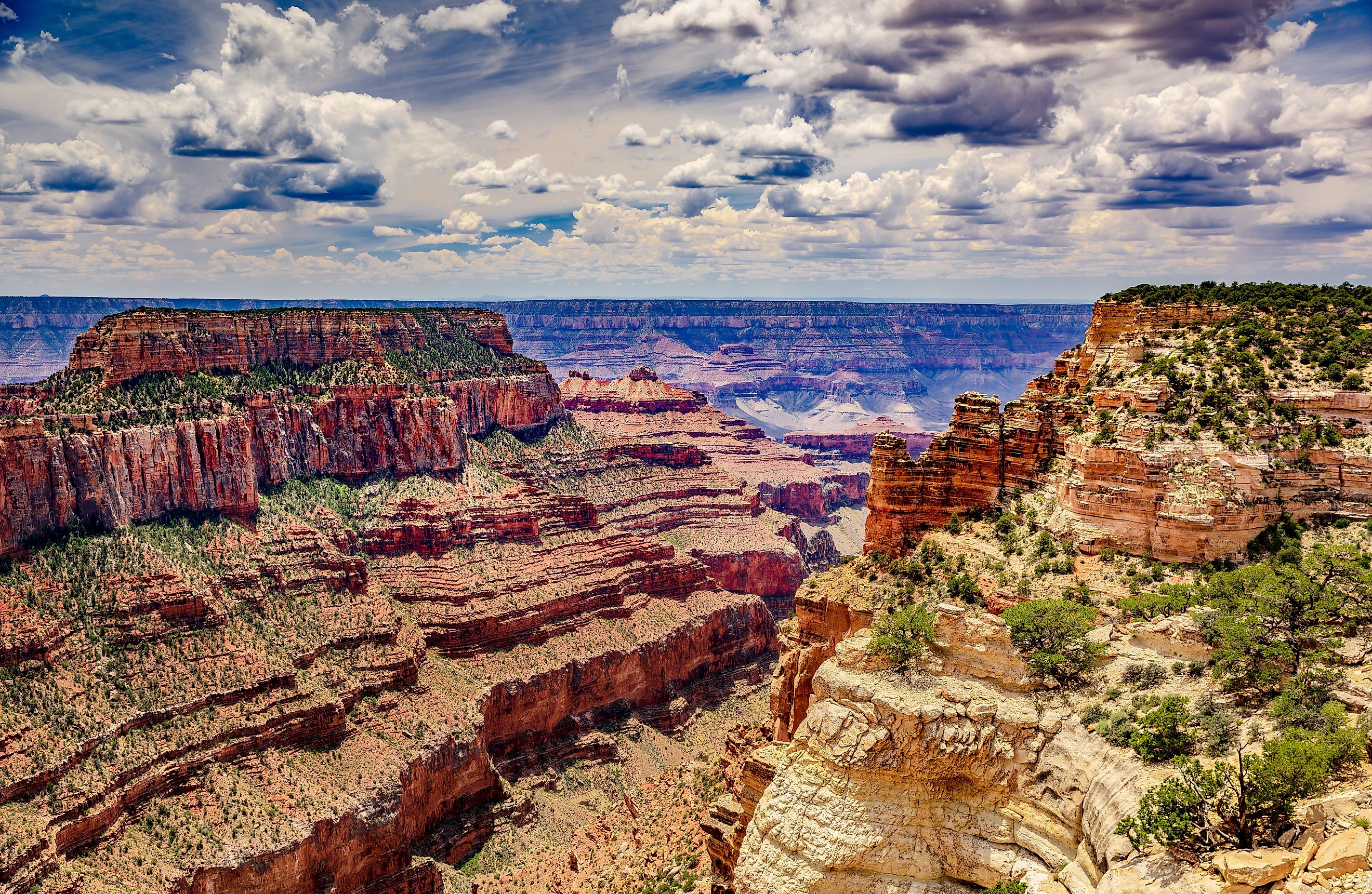
Stretching 277 miles across the high plateau of northwestern Arizona, the Grand Canyon is more than a majestic landscape—it's a colossal geologic record of Earth’s ancient past. With depths plunging over a mile (6,000 feet) and a width that ranges from 175 yards to 18 miles, this natural wonder carved by the Colorado River is one of the most awe-inspiring sights in the world.
Designated a UNESCO World Heritage site in 1979, the Grand Canyon is not only visually breathtaking but also scientifically invaluable, revealing nearly two billion years of geological history in its colorful, rugged walls.
Where It Is and What It Is

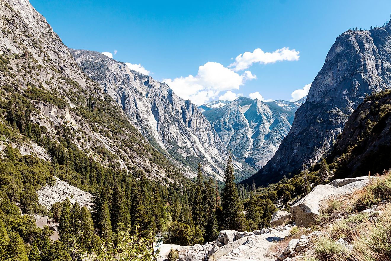
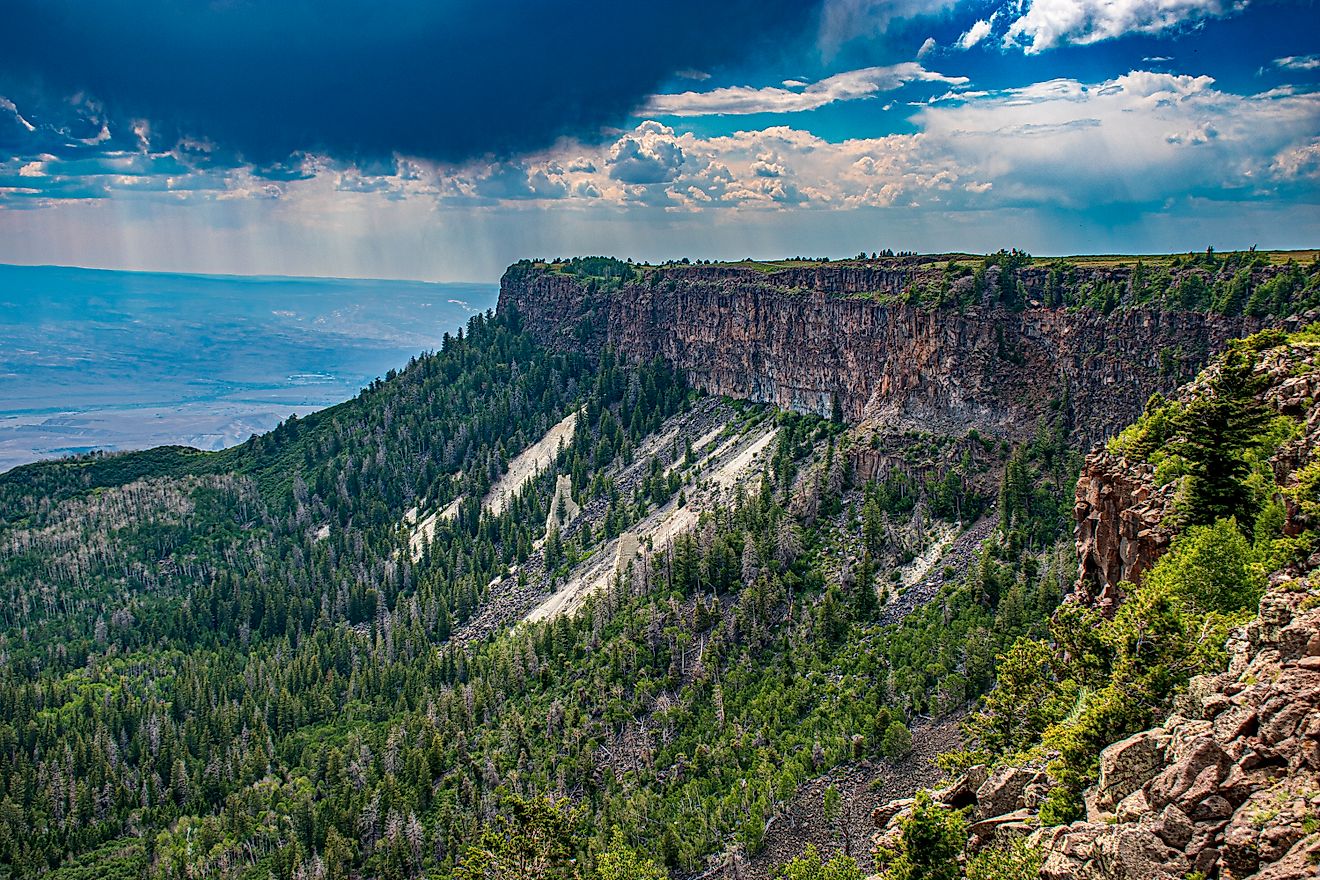
The Grand Canyon lies in the southwestern corner of the Colorado Plateau, a massive region characterized by horizontal rock layers and volcanic activity. The canyon itself is a vast chasm, sculpted over millions of years into a dramatic series of cliffs, ridges, ravines, and peaks.
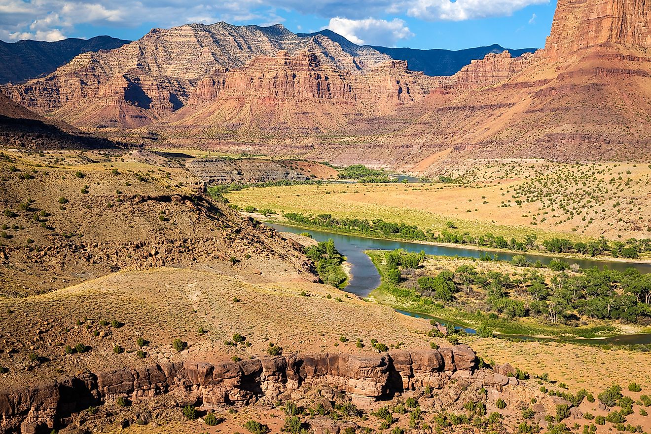
The Colorado River flows through its winding corridor, having etched this massive trench as it journeyed from the Rocky Mountains to the Gulf of California. The canyon begins near Lees Ferry and Marble Canyon in the east, where the Paria River enters, and ends at the Grand Wash Cliffs near the Nevada border. Its most photographed and visited section—between Lake Powell and Lake Mead—sits within Grand Canyon National Park.
Geological Significance

Perhaps the most striking value of the Grand Canyon lies not in its size or grandeur, but in its role as a cross-section of Earth's geological history. Nowhere else on the planet do rock layers spanning such vast periods of time appear so vividly and clearly exposed.
At the canyon’s base are some of the oldest visible rocks on Earth: Archean granite and schist that formed more than 2.5 billion years ago. Above that, layers of Proterozoic limestones, sandstones, and shales stretch back more than 540 million years. On top of these rest thick layers of Paleozoic sedimentary rock, deposited over 300 million years, which give the canyon its iconic, banded appearance.
One of the most fascinating features is what geologists call the Great Unconformity—a sharp boundary between two sets of rock layers that differ by hundreds of millions of years. This gap in the record exists because layers that once existed above have been completely eroded away, leaving a stark visual reminder of lost time.
Curiously, despite the Grand Canyon’s clear geological record, there's an entire missing sequence: the Mesozoic layers (from 250 to 65 million years ago), which can be seen elsewhere nearby, such as in southern Utah. In their absence, the canyon's rock story jumps suddenly from the Paleozoic to much more recent volcanic activity, including black lava flows and dormant cones still visible today.
How the Canyon Was Carved

The formation of the Grand Canyon is relatively recent in geologic terms. The process began no more than six million years ago when the Colorado River adopted its present course. With remarkable cutting power, the river—once carrying up to 500,000 tons of sediment per day—sliced through the plateau’s rock layers like a slow-motion buzz saw.
This incision was made possible by the uplift of the Colorado Plateau, which steepened the river’s gradient and accelerated erosion. Rain, snowmelt, and seasonal runoff added to the effort, widening the canyon with every passing year. Weathering from temperature changes and chemical reactions helped shape its labyrinth of cliffs and gorges.
In March 2008, a controlled release of water from Glen Canyon Dam simulated historic flood conditions to study sediment deposition. The event underscored how powerful natural water flows are in shaping the canyon—an ongoing process even in the modern era.
Climate and Sculpting Power

The semiarid climate of the Grand Canyon region is a critical—yet often overlooked—ingredient in its preservation. Without the dryness of the surrounding area, the canyon would likely have eroded into a wide valley instead of the sharply carved wonder we see today.
Rainfall is limited, and most of the moisture comes during seasonal monsoons or winter snows. The South Rim receives about 15 inches of precipitation annually, while the North Rim, being higher in elevation, receives around 26 inches. These contrasts contribute to different ecosystems and views on either side of the canyon.
Ecosystems and Wildlife

Despite the rugged terrain and arid climate, the Grand Canyon hosts a surprisingly diverse array of plant and animal life, shaped by the region’s elevation gradients.
At the bottom, where temperatures can soar above 120°F in summer, you’ll find cottonwoods and willows near water sources, along with drought-resistant plants like tamarisk, yucca, and cacti. The South Rim’s ponderosa pine forests and the North Rim’s mix of spruce, fir, and aspen show how precipitation and elevation define the canyon’s botanical zones.
The Grand Canyon is also home to a wide variety of wildlife. Common mammals include deer, coyotes, squirrels, bobcats, and foxes. Raptors such as bald eagles and peregrine falcons soar over the cliffs, while the endangered California condor—one of the rarest birds in North America—has made a hopeful comeback here. In the waters of the Colorado and its tributaries, unique fish like the endangered humpback chub thrive.
Human History

Long before it became a National Park, the Grand Canyon was—and still is—a sacred space for many Indigenous peoples. Tribes such as the Havasupai, Hopi, Navajo, Hualapai, and Paiute have lived in and around the canyon for centuries, with cultural ties that span generations.
The first recorded European to encounter the canyon was Spanish explorer García López de Cárdenas in 1540. However, it wasn’t until the 19th century that formal scientific and cartographic explorations began. One of the most famous expeditions was led by John Wesley Powell in 1869, who traveled down the Colorado River through the canyon in wooden boats.
Grand Canyon National Park was officially established in 1919, attracting millions of visitors annually and preserving the landscape for future generations.
The Grand Canyon Today

Modern visitors to the Grand Canyon can explore its grandeur from a range of vantage points. The South Rim, open year-round and accessible via road and rail, is the most popular area, home to iconic spots like Mather Point and Yavapai Point. The North Rim, open seasonally due to snow, offers a quieter, more forested perspective.
For those seeking adventure, hiking trails like Bright Angel and South Kaibab descend into the inner canyon. Others may opt for river rafting expeditions through the canyon’s wild rapids or helicopter tours for a bird’s-eye view.
Whether you're a geologist, a hiker, or a first-time tourist, the Grand Canyon offers something unforgettable: a raw, awe-inspiring connection to the planet’s natural history.
Grand Canyon Quick Facts: A Visual Summary

-
Size & Scale: 277 miles long, up to 18 miles wide, and over a mile deep.
-
Geology: Exposes rock layers spanning nearly 2 billion years.
-
Formation: Carved by the Colorado River over the last 6 million years.
-
Climate: Semiarid conditions preserve its sharp, dramatic landscape.
-
Ecosystems: From desert cacti to alpine forests and rare animals like the California condor.
-
Culture: Home to Indigenous tribes and sacred sites.
-
Tourism: One of the most visited national parks in the US.
Frequently Asked Questions About The Grand Canyon
How deep is the Grand Canyon?
The canyon’s depth exceeds 6,000 feet (over a mile) at its deepest points.
How old is the Grand Canyon?
The rock layers date back nearly 2 billion years, but the canyon itself began forming about 6 million years ago.
What’s the best time to visit?
Spring and fall offer mild temperatures and fewer crowds. Summer is popular but hot, especially inside the canyon.
Is the North Rim or South Rim better?
The South Rim is more accessible and open year-round. The North Rim is higher, more remote, and less crowded, but closed in winter.
Are there any endangered species in the Grand Canyon?
Yes, including the California condor and the humpback chub, among others.