The Major Plateaus Of The US
The landscape of the United States is as varied as it is vast, stretching from towering mountain ranges to deep river valleys. Among these dramatic landforms are plateaus—elevated flatlands sculpted by millions of years of geological activity.
These highlands provide some of the most breathtaking scenery in North America, serving as a foundation for rich ecosystems, unique geological formations, and human history that dates back thousands of years. From the sprawling Colorado Plateau to the lesser-known Ozark Plateau, these raised landscapes hold secrets of ancient erosion, volcanic activity, and shifting tectonic plates.
Explore some of the most significant plateaus in the US, uncovering their geological history, ecological significance, and cultural impact.
Colorado Plateau

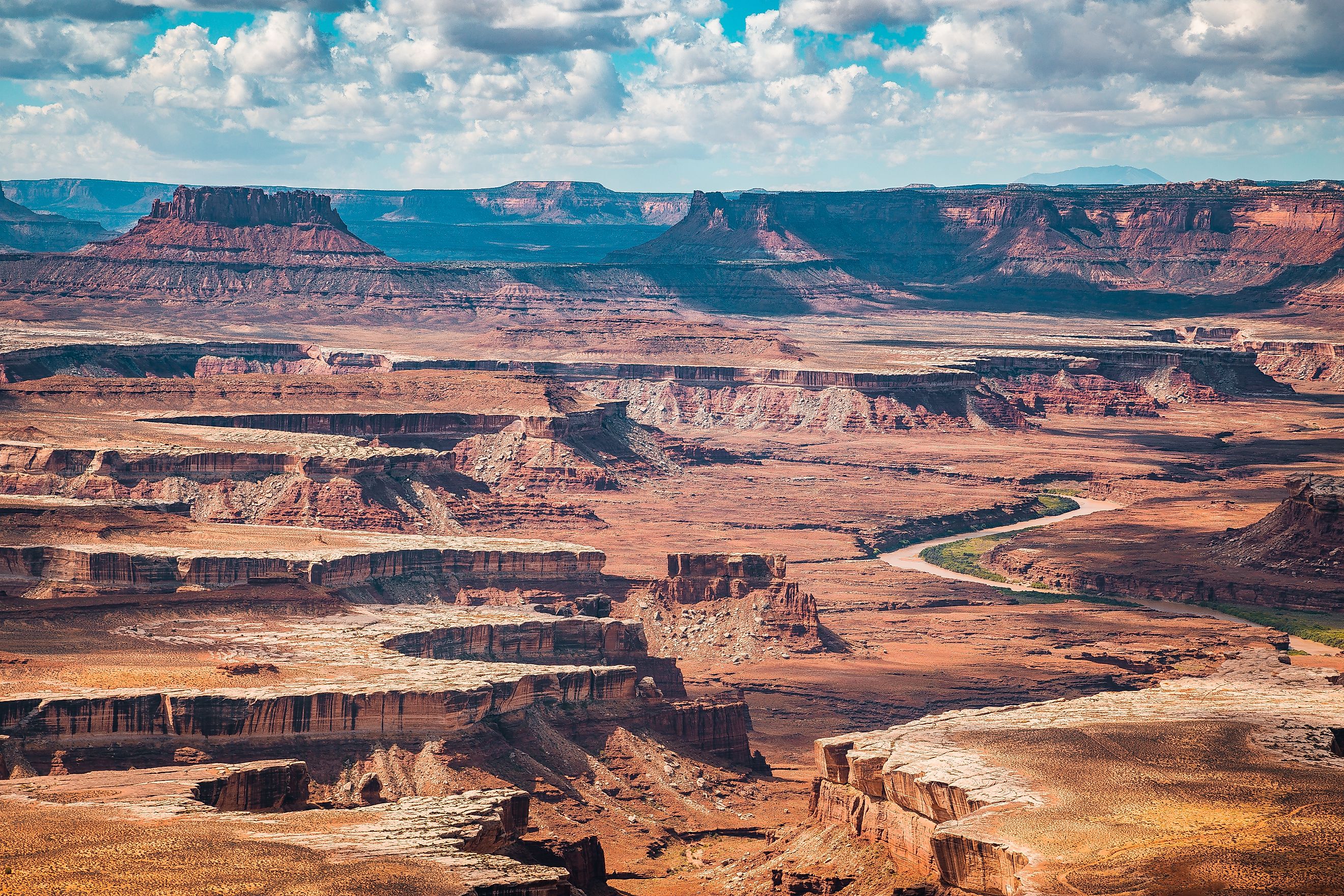
The Colorado Plateau is arguably the most famous plateau in the United States. Spanning across Arizona, Utah, Colorado, and New Mexico, this vast highland covers approximately 150,000 square miles. It is best known for its striking red rock formations, deep canyons, and world-famous national parks, including the Grand Canyon, Arches, Canyonlands, and Mesa Verde.
The plateau was formed through a combination of sedimentary deposition and subsequent uplift caused by tectonic forces. Over millions of years, the Colorado River and its tributaries carved out some of the deepest canyons on the planet. The Grand Canyon, in particular, exposes nearly two billion years of Earth’s history, showcasing layers of rock that tell a story of ancient seas, deserts, and volcanic activity.
The Colorado Plateau is also home to the Navajo Nation, one of the largest Indigenous reservations in the US. The region’s natural beauty and cultural history make it one of the most visited and studied plateaus in the world.
Appalachian Plateau

Stretching from New York to Alabama, the Appalachian Plateau is the westernmost physiographic province of the Appalachian Mountains. Unlike the steep, jagged peaks of the central Appalachians, this plateau features rolling hills, deep valleys, and extensive cave systems, such as those found in Kentucky’s Mammoth Cave National Park—the longest known cave system in the world.
The Appalachian Plateau was formed during the Paleozoic Era, over 300 million years ago, when layers of sedimentary rock were deposited in an ancient shallow sea. Later, tectonic activity gently uplifted the region, creating the extensive highlands we see today. The plateau is rich in coal, making it historically significant for the US energy industry.
Aside from its economic importance, the Appalachian Plateau is known for its biodiverse forests, which support a wide array of plant and animal life. It’s also a key region for outdoor recreation, attracting hikers, spelunkers, and wildlife enthusiasts.
Ozark Plateau

The Ozark Plateau, also known as the Ozark Highlands, covers parts of Missouri, Arkansas, Oklahoma, and Kansas. Often mistaken for mountains due to its rugged terrain, the Ozarks are actually a dissected plateau shaped by millions of years of erosion and uplift.
Geologically, the Ozark Plateau is composed mainly of ancient sedimentary rock, including limestone, dolomite, and sandstone. The region is famous for its extensive cave systems, such as those in the Missouri Ozarks, as well as scenic rivers like the Buffalo National River, which winds through deep valleys and limestone bluffs.
The Ozarks have a unique cultural identity, with a deep-rooted history in folk music, traditional crafts, and rural traditions. Today, the region is a popular destination for hiking, fishing, and exploring its rich geological and cultural heritage.
Columbia Plateau

Covering approximately 100,000 square miles across Washington, Oregon, and Idaho, the Columbia Plateau is a striking example of volcanic activity shaping a landscape. Unlike other plateaus that formed primarily through uplift, this plateau was created by successive lava flows that covered the region in thick basalt layers over millions of years.
The Columbia River and its tributaries have since carved deep canyons through the basalt, creating dramatic features like the Columbia River Gorge. The plateau is also home to fertile farmland, made possible by the region’s volcanic soil and irrigation from the Columbia River.
In addition to its agricultural significance, the Columbia Plateau has been home to Indigenous peoples for thousands of years. Today, it remains a place of cultural importance and ecological diversity, with efforts to preserve its unique geological and natural heritage.
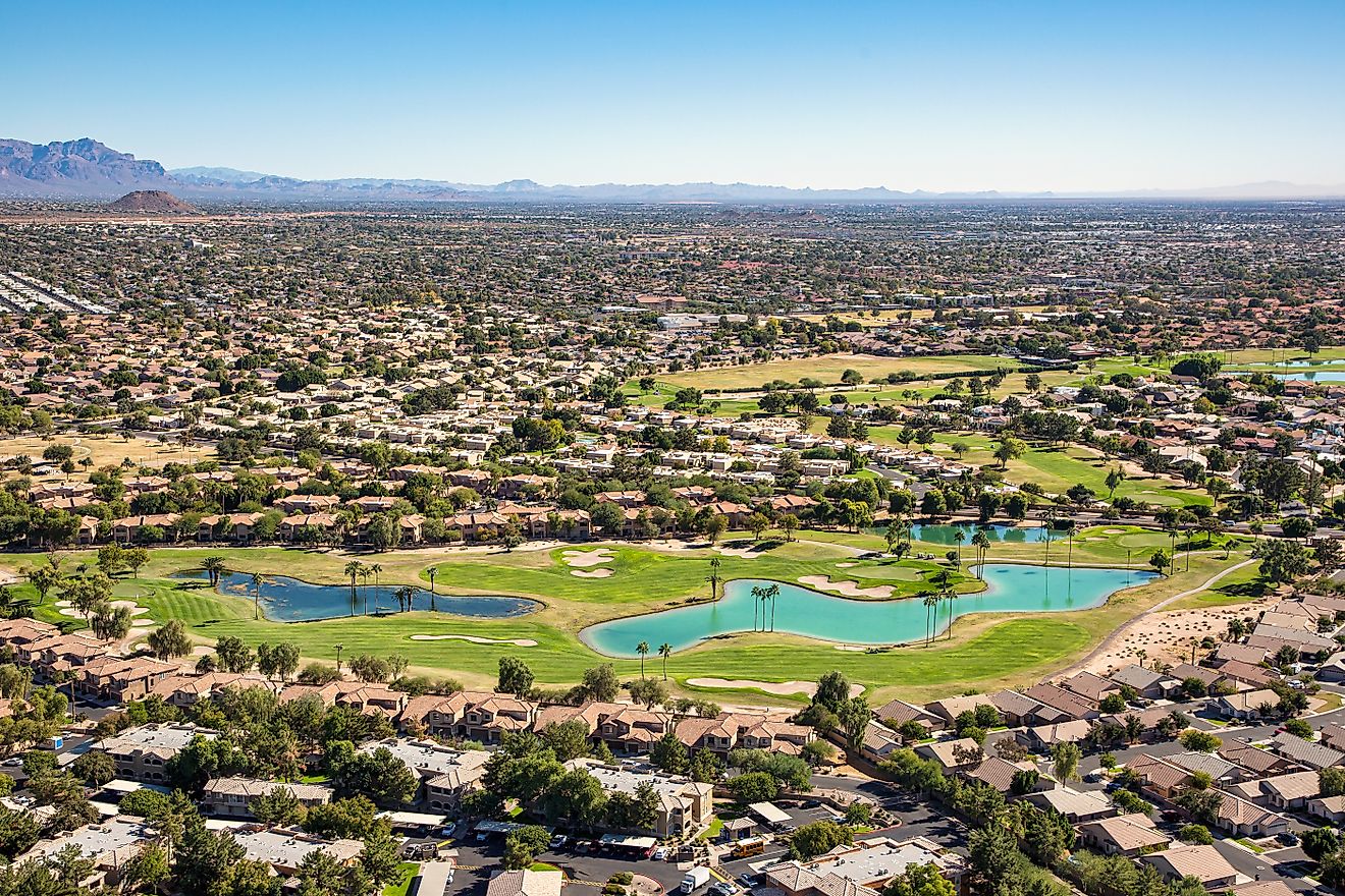
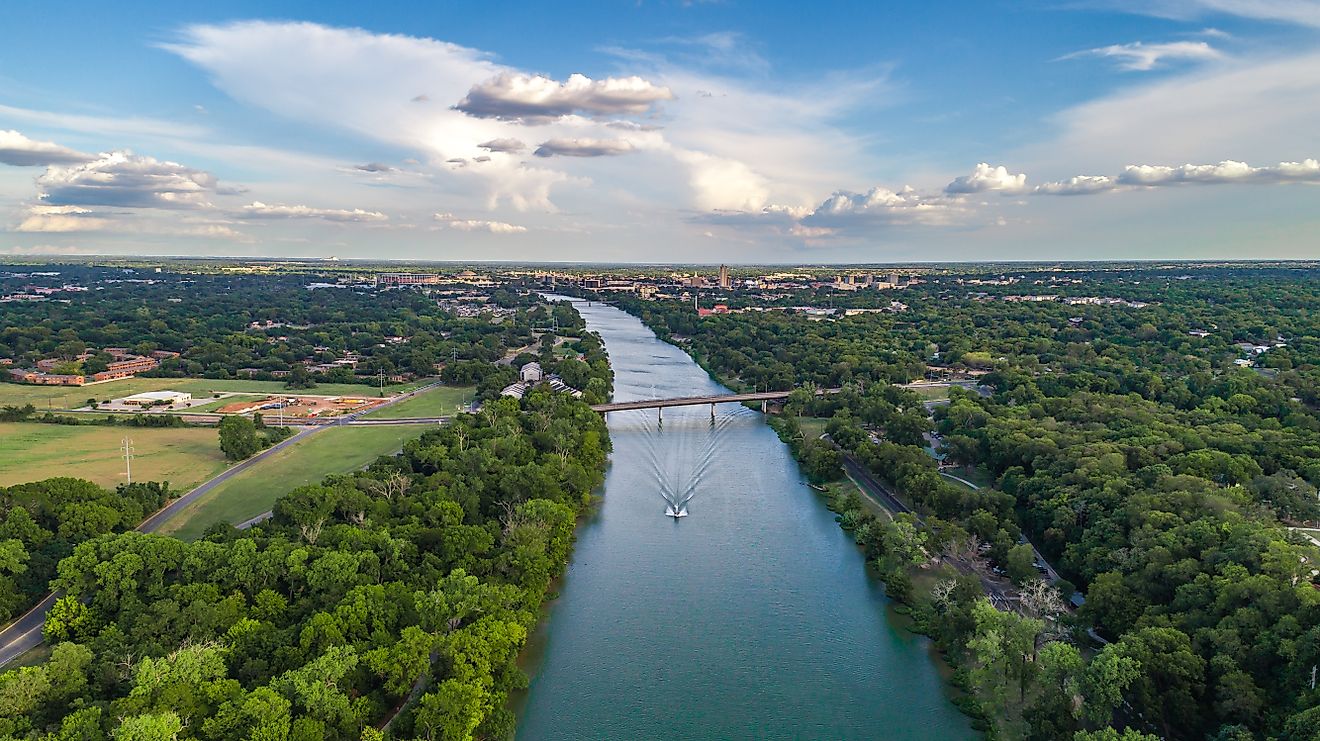
Edwards Plateau

Located in central Texas, the Edwards Plateau is a limestone-dominated highland that plays a crucial role in the state's hydrology. The plateau is home to the Edwards Aquifer, one of the most important groundwater sources in Texas, supplying water to cities like San Antonio.
The Edwards Plateau formed from sedimentary deposits that accumulated in a shallow sea millions of years ago. Over time, the region was uplifted and eroded, creating a karst landscape characterized by sinkholes, caves, and underground rivers.
This plateau is also a biodiversity hotspot, featuring unique flora and fauna, including the endangered golden-cheeked warbler. The Texas Hill Country, a subregion of the Edwards Plateau, is known for its rolling hills, wineries, and vibrant wildflower displays in the spring.
Allegheny Plateau

The Allegheny Plateau, a subdivision of the Appalachian Plateau, extends from central New York through Pennsylvania, Ohio, and West Virginia. This plateau is characterized by deeply eroded river valleys, including the picturesque gorges of the Pennsylvania Grand Canyon.
Much like the broader Appalachian Plateau, the Allegheny Plateau formed through sedimentary deposition followed by uplift and erosion. It is rich in natural resources, particularly coal and natural gas, making it an important region for energy production.
Despite its industrial significance, the plateau is also known for its natural beauty, featuring vast forests, waterfalls, and some of the best fall foliage in the country. Outdoor enthusiasts flock to the Allegheny National Forest and the Finger Lakes region for hiking, fishing, and camping.
The Legacy of America’s Plateaus

The major plateaus of the United States are more than just elevated landforms; they are living landscapes shaped by geological forces, ecological processes, and human history. From the fiery origins of the Columbia Plateau to the intricate cave systems of the Appalachian and Ozark Plateaus, each of these highlands tells a unique story of Earth’s evolution.
Beyond their scientific significance, these plateaus provide recreation, natural resources, and cultural heritage that continue to shape the regions they dominate. Exploring these plateaus offers a journey through time—one that reveals the dynamic forces that have sculpted America’s diverse and awe-inspiring terrain.