Fort Peck Lake
Fort Peck Lake stretches across eastern Montana with a scale that surprises even seasoned Western travelers. Long, winding shorelines carve through prairie and badlands, interrupted by quiet bays, dramatic bluffs, and open water that feels closer to an inland sea than a reservoir. Created by the Fort Peck Dam on the Missouri River, this massive body of water plays a defining role in Montana’s landscape, history, and outdoor culture.
Covering more surface area than any other lake in the state, Fort Peck Lake blends engineering ambition with raw prairie beauty. It supports recreation, wildlife habitat, and river management, all while preserving the wide-open feeling that defines this corner of Montana.
A Lake Born of the Missouri River

Fort Peck Lake exists because of the Missouri River’s power and unpredictability. Early in the 20th century, flooding along the Missouri caused widespread damage, disrupting agriculture, transportation, and industrial production. Those challenges intensified during World War II, when reliable river navigation became critical to moving supplies.
Federal planners responded with the Pick-Sloan Plan, a sweeping initiative designed to control floods, improve navigation, generate power, and manage water across the Missouri River Basin. Fort Peck Dam became one of the plan’s cornerstone projects.
Construction began in 1933 under the direction of the U.S. Army Corps of Engineers. Thousands of workers arrived in northeastern Montana, transforming the region into one of the largest construction zones in the nation. Water impoundment started in 1937, and the reservoir reached full capacity in 1947, permanently reshaping the valley upstream of the dam.
Engineering on a Monumental Scale

Fort Peck Dam ranks among the largest earth-filled dams ever built. The structure stretches more than 3 miles across the Missouri River Valley and towers over the landscape. Its main job was to steady river flows downstream, keeping the Missouri navigable all the way from Sioux City, Iowa, to the Mississippi River near St. Louis.
The dam also created Fort Peck Lake, which holds approximately 18.7 million acre-feet of water when full. That volume places it among the five largest artificial lakes in the United States. The reservoir extends roughly 134 miles across central Montana, threading through six counties and reshaping an enormous swath of prairie.
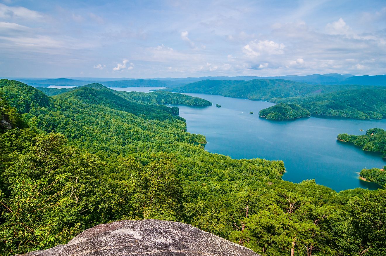
Montana’s Largest Lake by Surface Area

Fort Peck Lake covers approximately 245,000 acres, making it the largest lake in Montana by surface area. Flathead Lake surpasses it in depth and volume, but Fort Peck’s scale feels broader and more expansive.
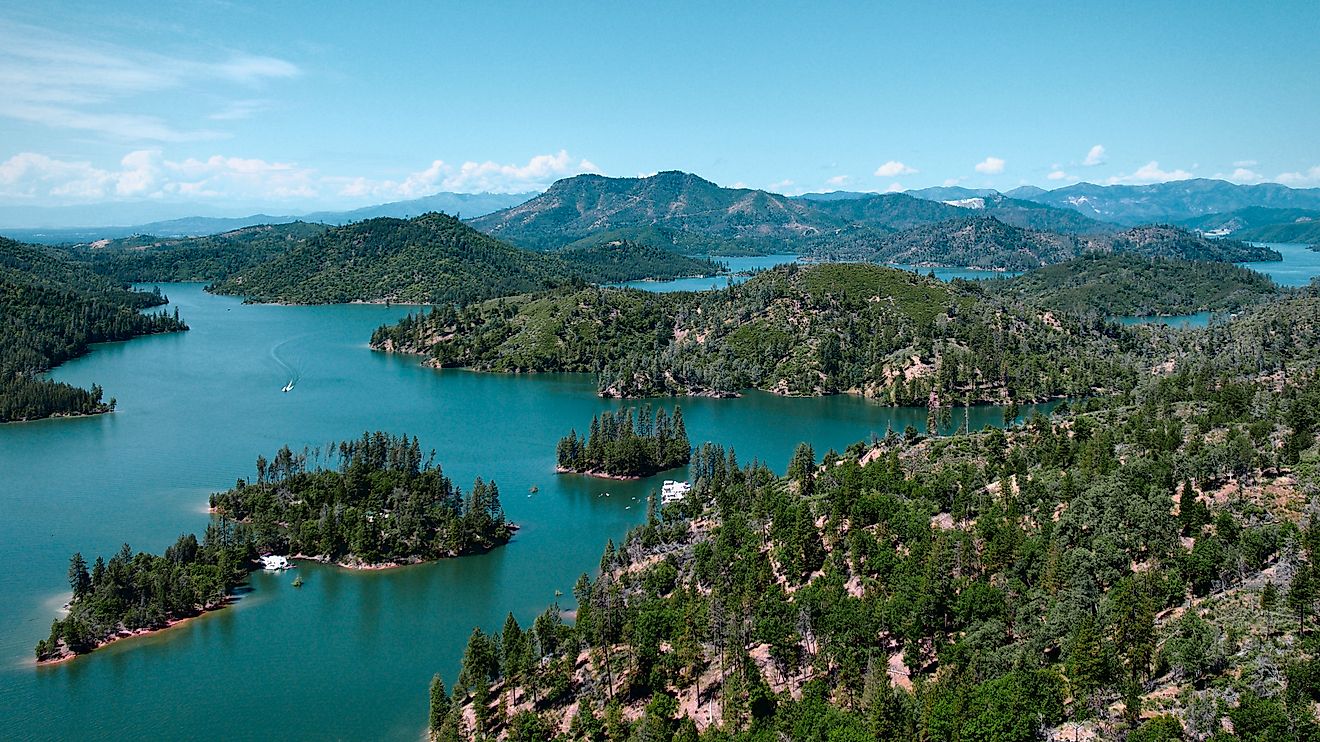
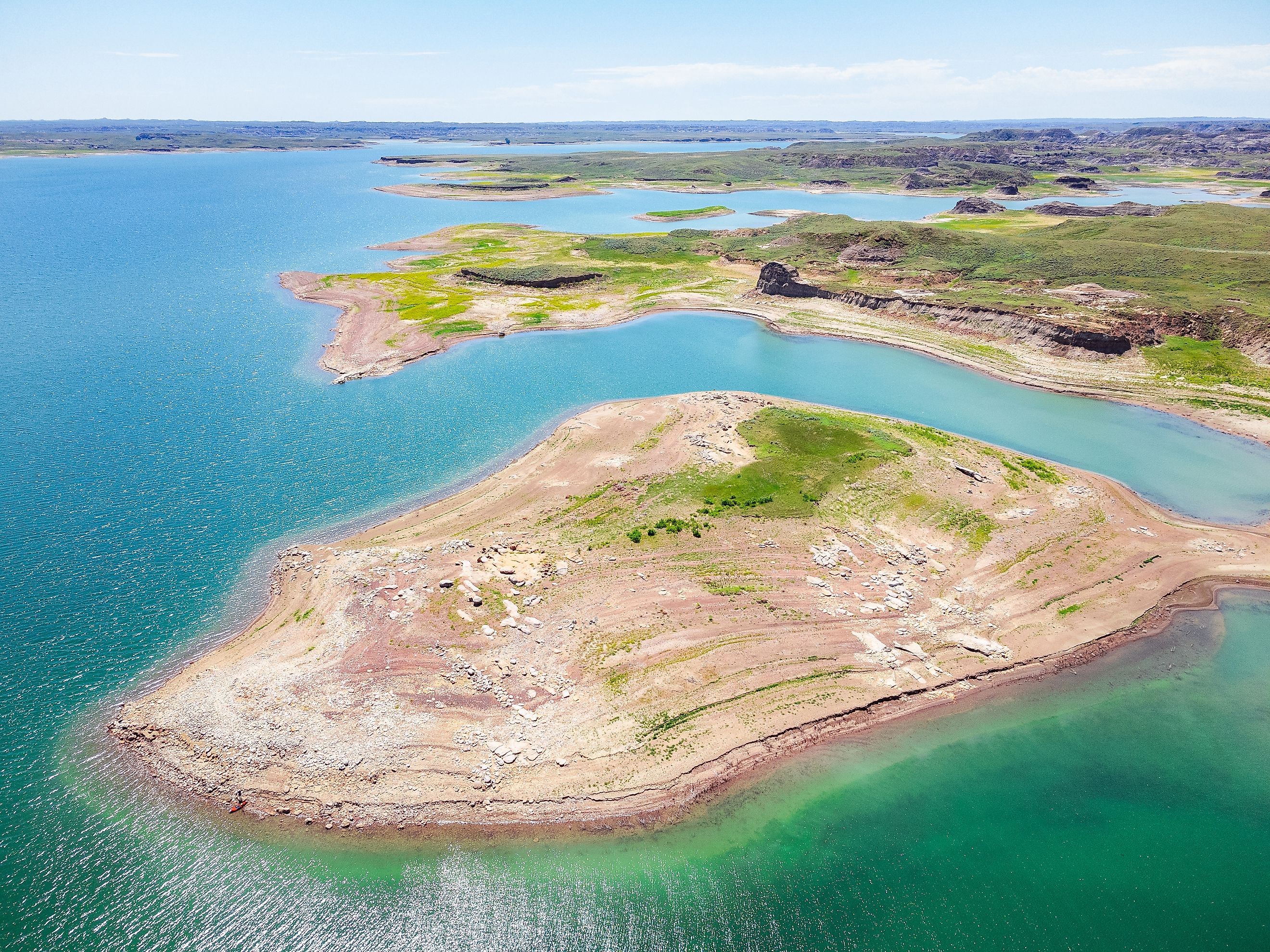
Twisting arms, narrow inlets, and long peninsulas create more than 1,500 miles of shoreline. Dry Creek forms the longest side arm, reaching about 30 miles south into the prairie. Smaller tributaries like the Musselshell River, Timber Creek, Fourchette Creek, and Hell Creek also feed the reservoir.
This shoreline complexity creates countless pockets of calm water, scenic overlooks, and wildlife-rich coves that reward exploration.
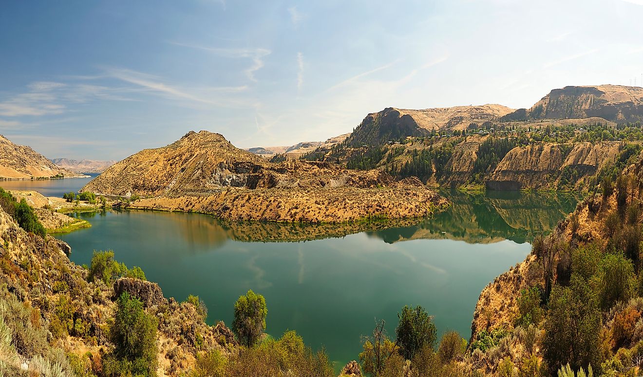
The Prairie Meets the Water

Unlike mountain lakes framed by towering peaks, Fort Peck Lake sits within Montana’s eastern prairie region. Rolling hills, badlands formations, and open grasslands define the surrounding terrain. The contrast between arid prairie and deep blue water creates a striking visual effect, especially at sunrise and sunset.
Bluffs rise sharply above the water in some areas, revealing layers of sediment and ancient rock. Elsewhere, gentle slopes descend toward the shoreline, opening wide views that stretch for miles. Wind often shapes the lake’s character, creating rippling waves that reinforce its sea-like presence.
Charles M. Russell National Wildlife Refuge

Nearly the entire reservoir borders the Charles M. Russell National Wildlife Refuge, a protected expanse covering more than 1,700 square miles. The refuge preserves large sections of high prairie, river breaks, and rugged hill country, creating one of the most important wildlife landscapes in the Northern Plains.
Elk, mule deer, pronghorn, and bighorn sheep roam the refuge. Prairie dogs, coyotes, and bobcats occupy the grasslands and coulees. Birdlife thrives here, with bald eagles, golden eagles, pelicans, and migratory waterfowl appearing throughout the year.
The refuge limits development around much of the lake, helping Fort Peck retain its remote feel. Even during busy summer months, quiet stretches of shoreline remain easy to find.
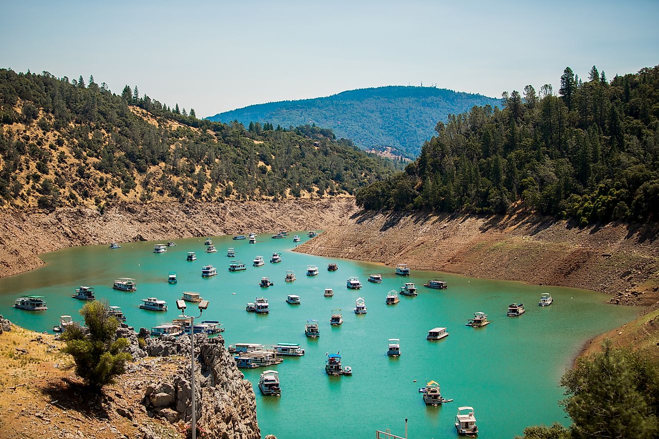
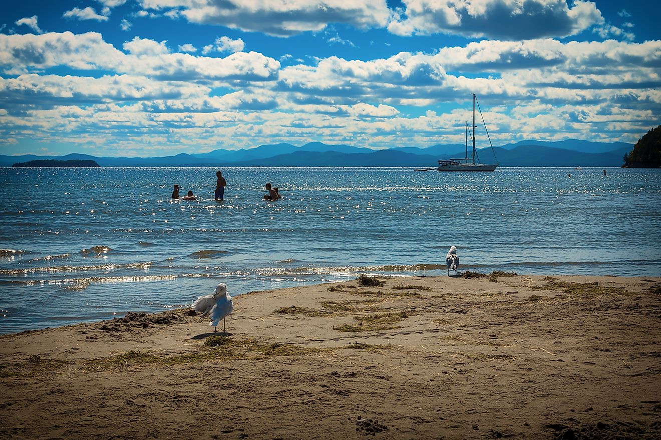
Recreation Across a Massive Shoreline

Fort Peck Lake supports recreation on a scale to match its size. Twenty-seven designated recreation sites line the shoreline, offering boat ramps, campgrounds, picnic areas, and access points spread across hundreds of miles.
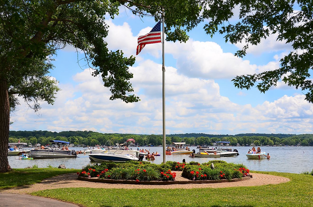
Boating remains one of the lake’s most popular activities. Long open-water stretches suit cruising, fishing boats, and multi-day excursions. Numerous bays and inlets provide shelter when winds pick up, making the lake surprisingly versatile despite its size.
Camping ranges from developed campgrounds with basic amenities to more primitive settings that emphasize solitude and scenery. Night skies here remain remarkably dark, offering excellent stargazing far from city lights.
A Premier Fishing Destination

Fishing draws anglers from across Montana and beyond. Fort Peck Lake supports a diverse fishery thanks to its size, depth variations, and tributary inflows. Species introduced over the years thrive in the reservoir’s varied habitats.
Walleye attract many anglers, along with northern pike, lake trout, smallmouth bass, chinook salmon, and paddlefish. The Missouri River’s influence creates productive fishing conditions, especially near inflows and deeper channels.
The sheer scale of the lake allows fishing pressure to spread out, preserving a sense of space even during peak seasons.
Fort Peck Lake on the Big Screen

Enterting Jurassic Park at Universal's Islands of Adventure. Editorial credit: Wikimedia Commons
Fort Peck Lake entered pop culture through an unexpected appearance in Jurassic Park III. Scenes depicting an excavation site used the lake as a backdrop, briefly showcasing its vastness to a global audience.
That cinematic moment added another layer to the lake’s identity, reinforcing its dramatic scale and cinematic qualities.
Communities and Access Points

Businesses in Glasgow, Montana. Editorial credit: Wikimedia Commons
Several small towns provide access to Fort Peck Lake, including Fort Peck, Glasgow, Jordan, and other prairie communities. These towns serve as gateways for supplies, lodging, and local knowledge.
Road access varies across the reservoir, with paved highways reaching major recreation areas and gravel roads leading to more remote sections. Preparation matters here, as distances between services can be significant.
Seasonal Changes on the Lake

Seasonal shifts shape Fort Peck Lake’s character. Summer brings boating, fishing, and camping under expansive skies. Autumn introduces dramatic color changes across the prairie, along with quieter conditions as crowds thin.
Winter transforms the lake into a frozen landscape. Ice fishing becomes possible in certain areas, and the surrounding refuge takes on a stark beauty defined by snow, wind, and open space. Spring runoff and changing water levels signal the Missouri River’s ongoing influence.
A Landscape of Scale and Purpose
Fort Peck Lake stands as both a functional reservoir and a defining feature of Montana’s prairie region. Built to control floods and support navigation, it now supports recreation, wildlife conservation, and regional identity.
The lake’s size encourages exploration, patience, and appreciation for subtle landscapes rather than dramatic peaks. Long horizons, quiet coves, and sweeping water views define the experience.
Fort Peck Lake does not demand attention with spectacle alone. Instead, it rewards those willing to embrace its scale, history, and the enduring relationship between water and prairie that continues to shape eastern Montana.