Missouri River: The Longest River in The United States
The Missouri River is a sprawling waterway that defines the geography, history, and culture of the American Midwest and Plains. Spanning over 2,300 miles, it is the longest river in the United States, originating in the Rocky Mountains of southwestern Montana and flowing all the way to its confluence with the Mississippi River just north of St. Louis, Missouri. This river has shaped the landscape, sustained ecosystems, powered economies, and carried people and goods across the heart of the nation for centuries.
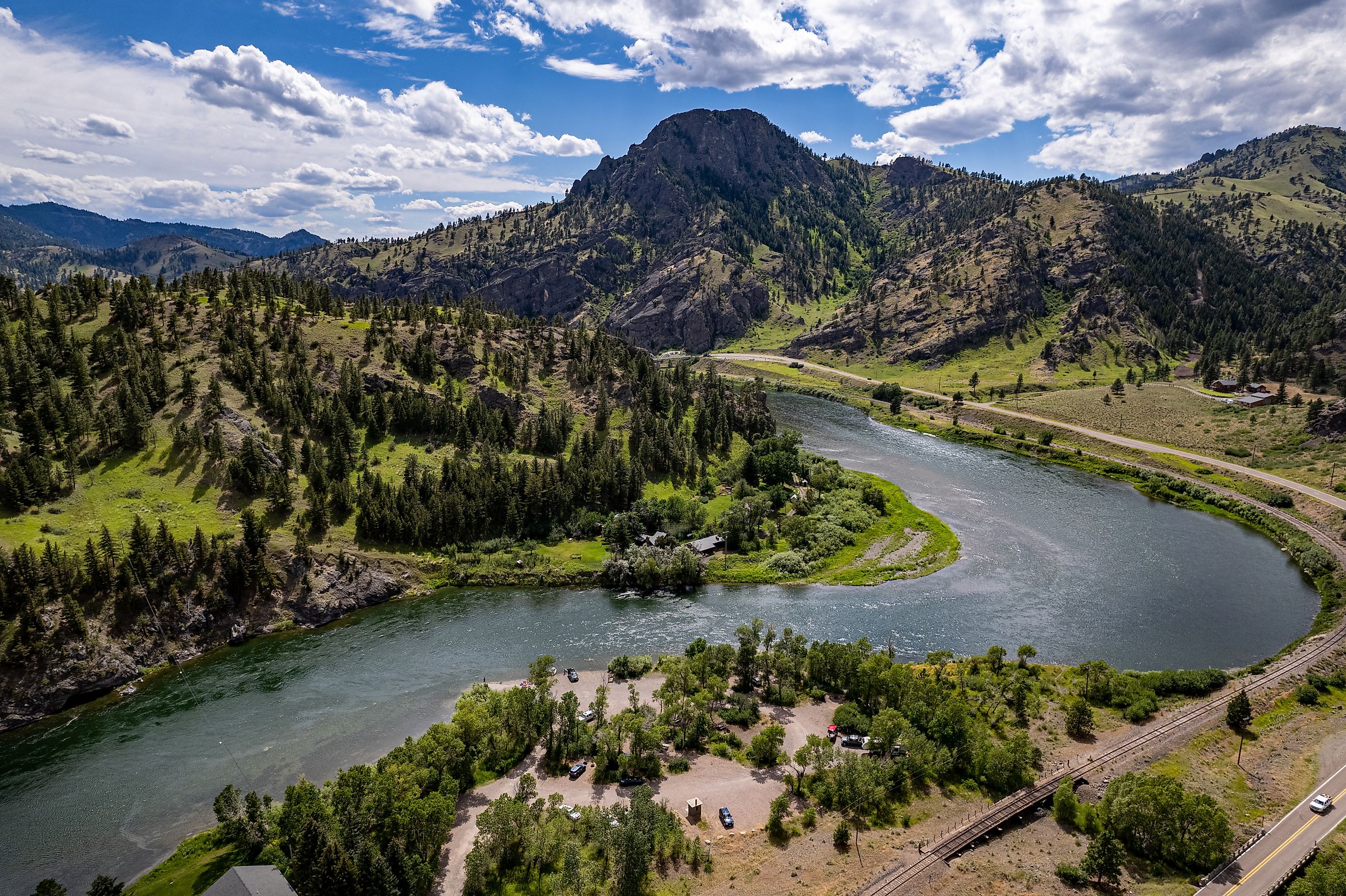
Where the Missouri River Begins

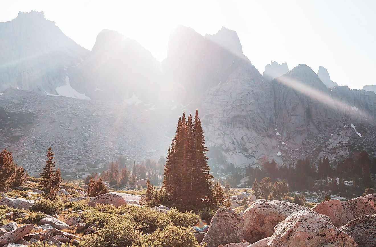
The Missouri River begins at the confluence of three mountain streams: the Jefferson, Madison, and Gallatin rivers in Gallatin County, Montana. These headwaters lie approximately 4,000 feet above sea level in the Rocky Mountains. From this point, the river travels a vast and varied path across the northern and central United States.
Path and Geography of the River

From its mountainous origins, the Missouri River flows northward through Montana before turning east and then southeast across the Great Plains. Its winding path includes sections of the borders between several states:
-
Montana
-
North Dakota
-
South Dakota
-
Nebraska
-
Iowa
-
Kansas
-
Missouri
The river eventually merges with the Mississippi River about 10 miles north of St. Louis, Missouri. It is at this junction that the two greatest rivers of the central United States become one, continuing their journey southward to the Gulf of America.
Total Length and Drainage Basin

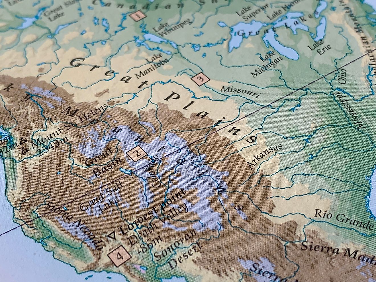
At 2,315 miles in length, the Missouri River edges out the Mississippi River proper as the longest river in the United States. Some sources extend its length even further, to about 2,540 miles, by including the Red Rock River as part of its upper system. Either way, it is a dominant force in the geography of North America.
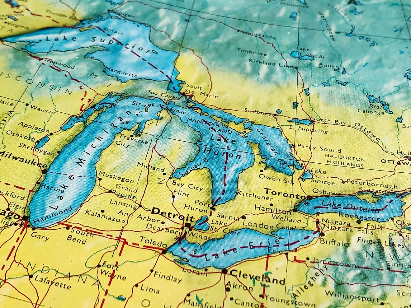
The Missouri River basin covers approximately 529,400 square miles across 10 US states and even reaches into southern Canada. It stretches from the Rockies in Colorado to the rolling plains of the Dakotas and the agricultural lands of Missouri.
Key Features of the Missouri River Basin

-
Total Length: 2,315 miles
-
Elevation at Headwaters: 4,000 feet
-
Drainage Area: 529,400 square miles
-
Maximum Flow: 900,000 cubic feet per second
-
Minimum Flow: 4,200 cubic feet per second
Important Tributaries

The Missouri River has numerous tributaries that contribute to its vast flow. These include rivers entering from both the north and the south:
Major Tributaries from the South and West:
-
Platte River
-
Yellowstone River
-
Kansas River
-
Niobrara River
-
Osage River
-
Cheyenne River
-
White River
Major Tributaries from the North and East:
-
James River
-
Milk River
-
Big Sioux River
-
Chariton River
-
Marias River
Historical Importance

Long before European explorers arrived, the Missouri River served as a vital resource for Indigenous peoples such as the Blackfeet, Hidatsa, Mandan, and Crow. It was a source of water, food, transportation, and spiritual meaning.
The river’s mouth was first documented by European explorers Jacques Marquette and Louis Jolliet in 1673 as they traveled down the Mississippi River. In the early 1800s, the Missouri River gained national significance during the Lewis and Clark Expedition. In 1804, Meriwether Lewis and William Clark journeyed from St. Louis to the river’s headwaters, mapping and documenting the vast, uncharted interior of the continent.
The Steamboat Era

The Missouri River was vital to the 19th-century fur trade and westward expansion. By the 1830s, steamboats began navigating its waters, expanding commerce and settlement. Traffic peaked in the late 1850s but declined sharply after the construction of the Hannibal and St. Joseph Railway.
Flood Control and Modern Engineering

For much of US history, the Missouri River was left largely in its natural state. That changed in 1944 when Congress passed legislation authorizing large-scale flood control, irrigation, and hydroelectric projects. This led to the development of more than 100 dams and reservoirs in the river’s basin. These dams serve multiple purposes, such as, control flooding, supply irrigation water, generate hydroelectric power, improve river navigation, and create recreational reservoirs.
Major Dams on the Missouri River
-
Fort Peck Dam (Montana): One of the world’s largest earthfill dams
-
Garrison Dam (North Dakota)
-
Oahe Dam (South Dakota)
-
Fort Randall Dam (South Dakota)
-
Gavins Point Dam (South Dakota/Nebraska border)
Modern Uses and Recreation

The Missouri River continues to support diverse uses across its range:
Economic and Practical Uses:
-
Hydroelectric power
-
Irrigation for agriculture
-
Water supply for municipalities
-
Commercial barge transportation (especially from Sioux City to the Mississippi)
Recreational Uses:
-
Fishing
-
Boating
-
Camping
-
Birdwatching
-
Hiking and trail access
A designated wild and scenic segment in north-central Montana preserves part of the river’s untouched beauty. Nearby, the Charles M. Russell National Wildlife Refuge provides sanctuary for native wildlife.
Cities Along the River

The Missouri River flows through or near numerous cities, many of which grew because of their proximity to the waterway. These include:
-
Great Falls, Montana
-
Williston, North Dakota
-
Bismarck, North Dakota
-
Pierre, South Dakota
-
Council Bluffs, Iowa
-
Omaha, Nebraska
-
Kansas City, Missouri and Kansas
-
Jefferson City, Missouri
-
Columbia, Missouri
-
St. Charles, Missouri
Nickname: The Big Muddy

The Missouri River is often called "The Big Muddy" due to its high sediment load. It carries large amounts of silt and suspended solids, especially during spring and summer runoff. This characteristic has long impacted navigation and erosion control efforts.
The Missouri River Today

Today, the Missouri River is a carefully managed system with a balance between natural preservation and human development. While it no longer serves as the commercial highway it once was during the steamboat era, it remains a critical part of the country’s infrastructure.
Efforts to preserve and restore parts of the river continue, especially as climate change and agricultural demands place new stress on water resources. Ongoing debates focus on navigation priorities versus environmental conservation.
Missouri River Quick Facts Chart
| Feature | Detail |
|---|---|
| Total Length | 2,315 miles |
| Longest River in US | Yes |
| Elevation at Source | 4,000 feet |
| Drainage Area | 529,400 square miles |
| States Touched | 10 US states + part of Canada |
| Confluence Location | North of St. Louis, Missouri |
| Nickname | The Big Muddy |
| Max Flow Rate | 900,000 cu ft per sec |
| Major Dams | Fort Peck, Garrison, Oahe |
| Historic Expedition | Lewis and Clark (1804–1806) |