Mississippi River
By any measure—length, volume, influence, or mythology—the Mississippi River is one of the most defining features of the American landscape. It winds 2,340 miles from the quiet headwaters of Lake Itasca in Minnesota to the bustling, murky mouth at the Gulf of America southeast of New Orleans. Along its journey, the river does more than connect towns, cities, and states—it carves out stories, history, and the very geography of a nation.
Draining a basin that spans 1.2 million square miles across 31 US states and two Canadian provinces, the Mississippi is the central artery of North America. It has long been a natural divider and unifier, a resource and a challenge, a muse and a monster. It is a river that has shaped civilizations, flooded empires, and created a cultural and economic backbone through the American heartland.
From Trickling Stream to Mighty Torrent

The Mississippi’s journey begins modestly in northern Minnesota, where it bubbles out of Lake Itasca as a shallow, clear stream meandering through wetlands and pine forests. For the first few hundred miles, it flows gently through a patchwork of lakes, marshes, and glacial remnants. But by the time it reaches St. Paul, Minnesota—where navigation becomes feasible—it begins to evolve into something far grander.
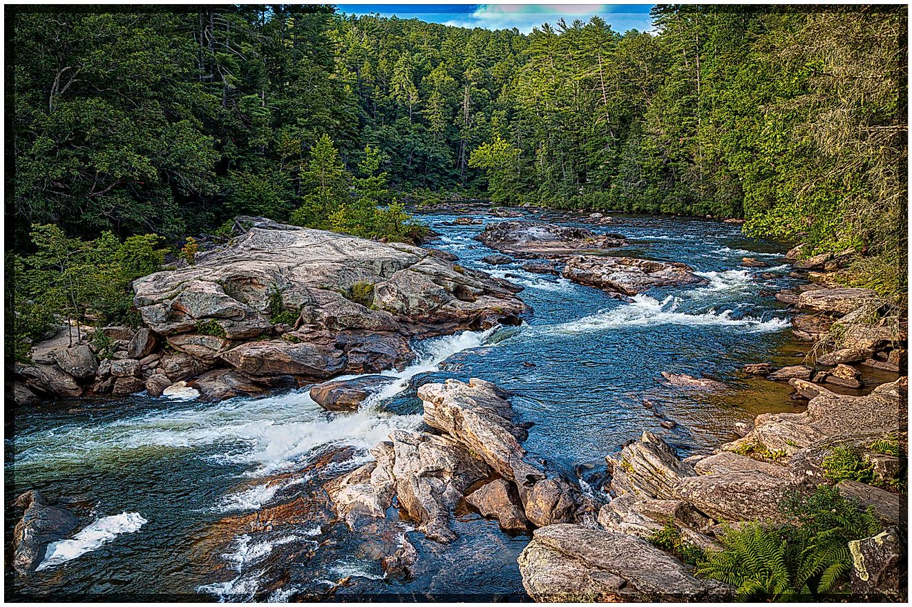
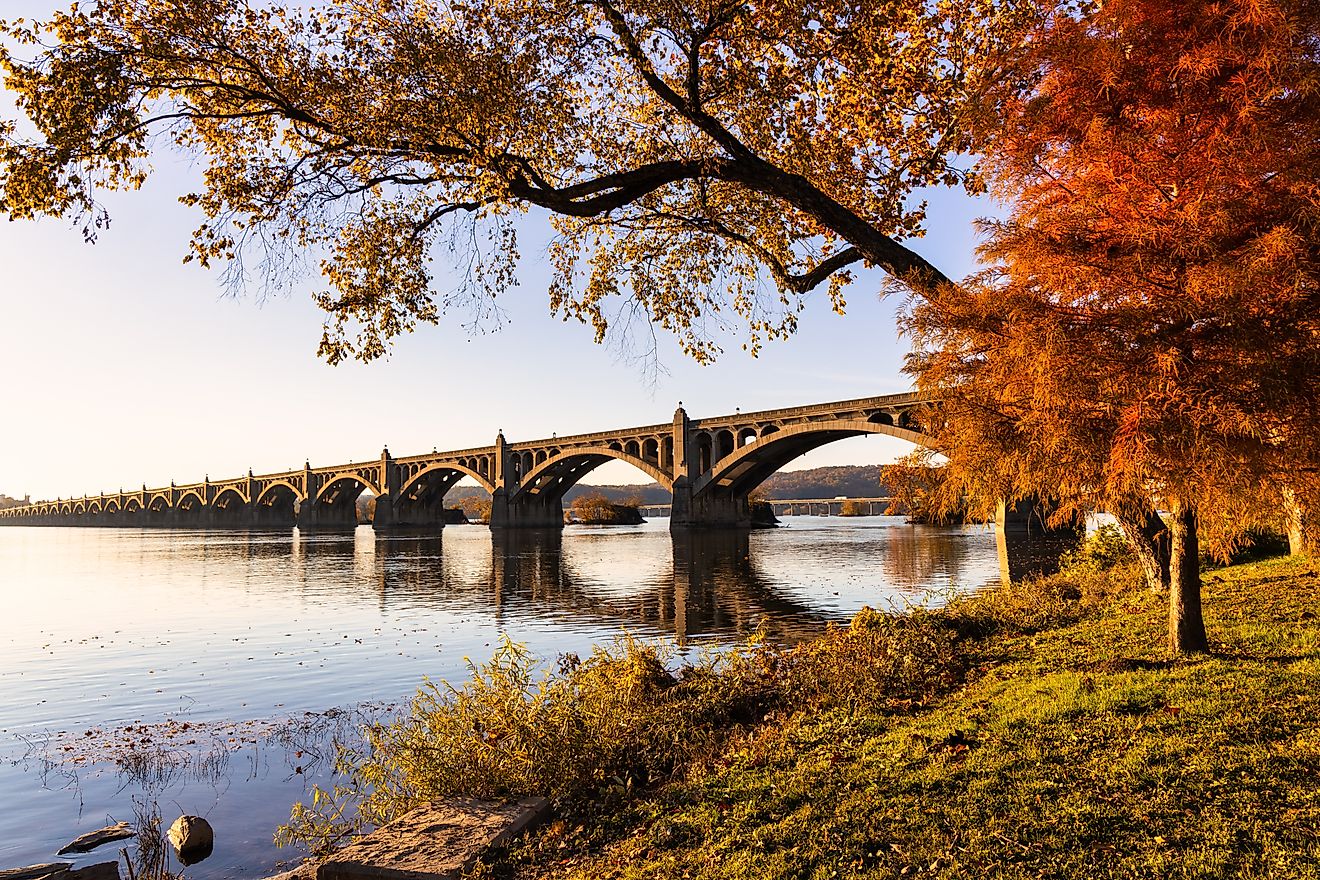
From there, the Upper Mississippi carves its way south through steep limestone bluffs, collecting tributaries from the Midwest. In this stretch, it becomes the river the Algonquian-speaking peoples called “Misi-sipi,” or “Father of Waters.” The phrase still resonates, not just as a name but as a powerful truth about the river’s dominance over its surroundings.
A River Transformed

At St. Louis, Missouri, the Mississippi meets the Missouri River—a confluence that injects a wild, muddy character into the previously clearer waters. The Missouri, fed by the sediment-laden waters of the Great Plains, fundamentally changes the nature of the Mississippi, swelling its banks and altering its personality. From here to the Ohio River near Cairo, Illinois, the Middle Mississippi becomes faster, murkier, and more forceful.
It is below Cairo, though, where the river truly becomes immense. At its confluence with the Ohio—where the Ohio is, at times, the larger river—the Mississippi doubles in size. From that point southward, it becomes a broad, slow-moving powerhouse, often stretching over a mile and a half from bank to bank. The Lower Mississippi coils its way to the Gulf like a sleeping giant, deceptively calm but historically capable of dramatic fury.
Highway of Industry and Culture

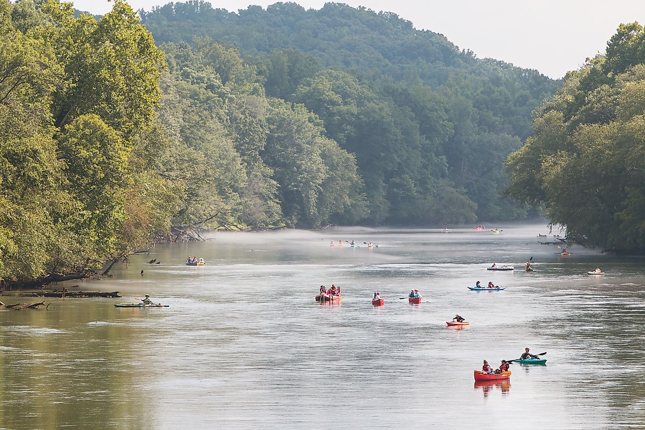
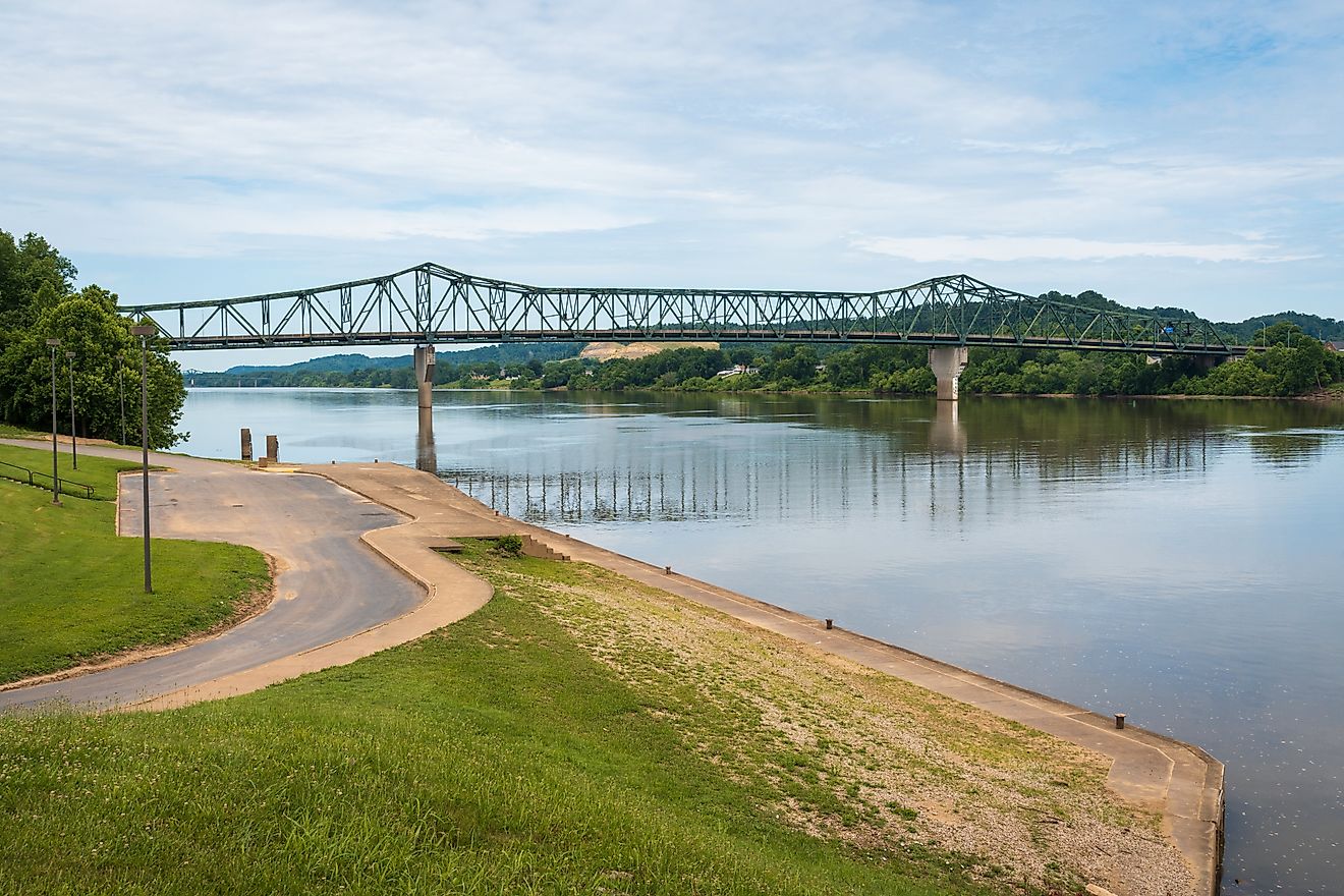
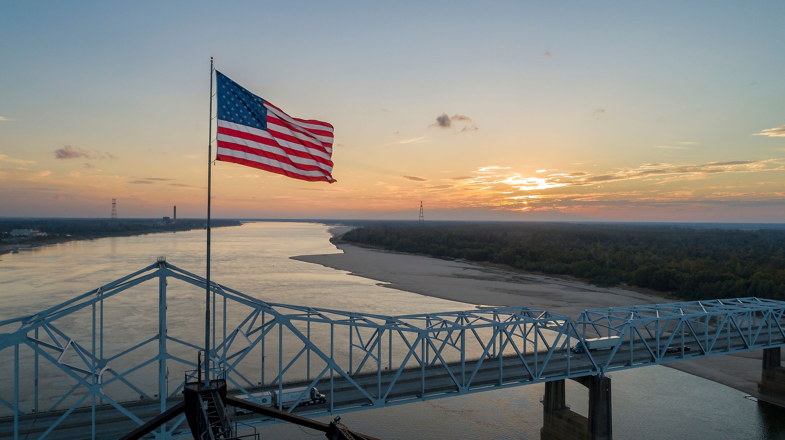
Today, the Mississippi is one of the busiest commercial waterways on the planet. Barges laden with grain, coal, oil, and chemicals float steadily downstream, forming a silent caravan that underscores the river’s economic significance. These industrial arteries fuel some of the richest farmlands in the country and sustain cities from Minneapolis to Baton Rouge.
But it’s not just industry that the Mississippi has carried. It has also been a highway for stories, ideas, and identities. It helped forge the paths of two US presidents—Abraham Lincoln and Ulysses S. Grant—and inspired the work of Mark Twain, whose tales of riverboats and childhood along the Mississippi have become American literary staples.
Twain once likened the river’s shape to “a long, pliant apple-paring”—a poetic nod to the twisting meanders that characterize the Lower Mississippi. These loops leave behind oxbow lakes, cutoffs, and swamps—natural records of the river’s ever-changing course.
Taming the Beast

To live near the Mississippi is to live with risk. The river’s raw power has brought about some of the most devastating floods in American history. In 1927, more than 23,000 square miles of the lower valley were inundated. Levees broke. Towns vanished. Crops were destroyed. The damage was staggering, and the lesson was humbling: nature cannot be controlled so easily.
In response, the U.S. Army Corps of Engineers constructed a complex web of levees, spillways, and control structures, including the Old River Control Complex, which diverts water into the Atchafalaya River. But the illusion of total control shattered again in 1993, when persistent rains caused catastrophic flooding across the upper basin. Levees broke. Dams overflowed. Millions of acres were lost. The river had spoken once more, proving that while humans can guide it, they cannot dominate it.
Since then, flood management has shifted from resisting the river to coexisting with it. Communities have moved away from floodplains, and wetlands are being restored as natural buffers. “Living with the river” has become not just a philosophy but a necessity.
Geology of a Giant

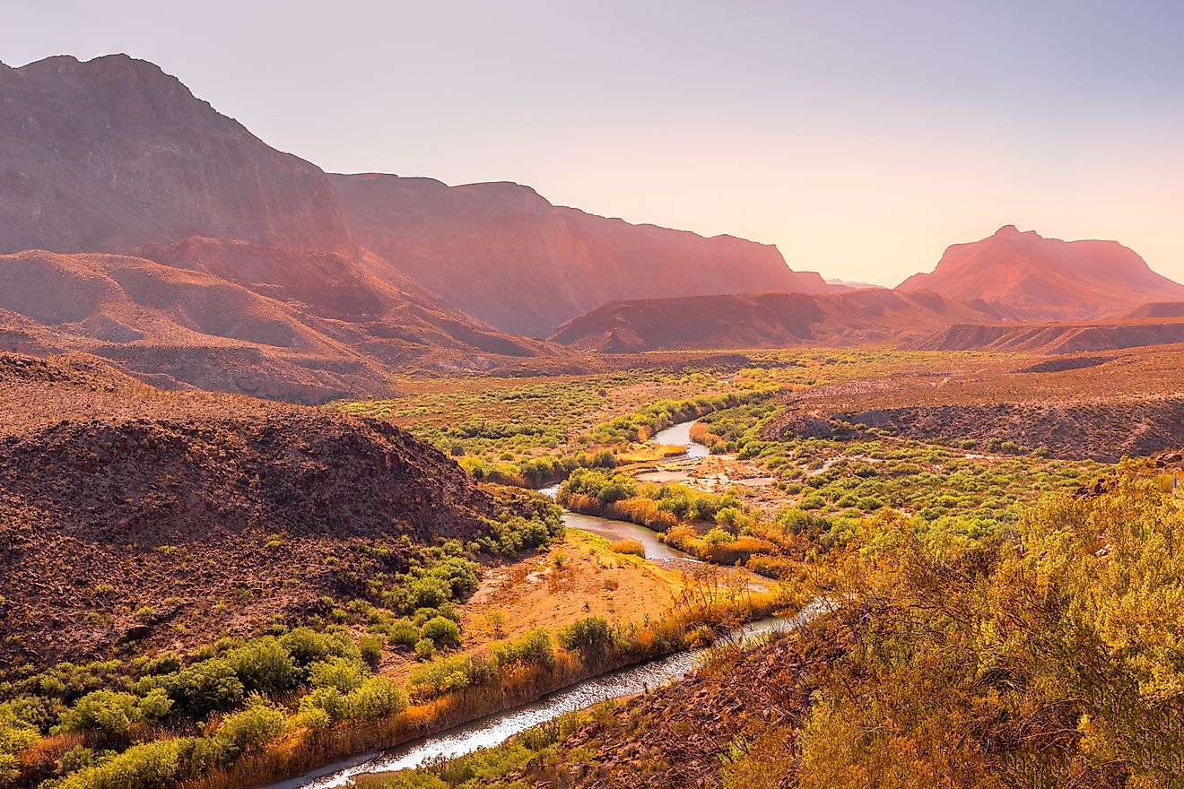
The physical Mississippi is a masterpiece sculpted over millions of years. The river’s basin stretches from the Appalachian Mountains in the east to the Rocky Mountains in the west, covering vast terrains of sediment, rock, and ancient glacial activity. To the north, glaciers left behind thick deposits of debris that helped shape the course of the Upper Mississippi and its tributaries. To the west, rivers like the Missouri, Kansas, and Platte carry silt and sand from the Great Plains, feeding the Mississippi with the raw materials it uses to build its landscape.
This constant flow of sediment is both a blessing and a curse. For centuries, the river’s delta grew outward into the Gulf, creating some of the most fertile and productive land in North America. But today, much of that sediment is trapped behind dams upstream. Without it, the delta is shrinking—eroded by rising seas, hurricanes, and the very levees meant to protect it.
Climate and Hydrology

Spanning multiple climate zones, the Mississippi basin experiences dramatic weather variation. Winters in northern Minnesota can plunge below zero, while summers in southern Louisiana push past 90°F. Rainfall varies widely too—from less than 1 inch per month in the dry western plains to over 5 inches in the humid southern stretches.
The river’s hydrology is equally complex. Discharge volumes can range from 93,800 cubic feet per second during droughts to over 2 million during floods. The Ohio River, with its consistent flow, contributes significantly to the Mississippi’s volume, especially in flood years. In contrast, the western tributaries—like the Missouri and Arkansas—are more erratic, with sharp seasonal peaks driven by snowmelt and spring rains.
An Ecological Artery

Beyond its physical and economic importance, the Mississippi is also a lifeline for wildlife. Its vast system of backwaters, oxbow lakes, and wetlands creates a diverse mosaic of habitats. These serve as crucial stopovers on the Mississippi Flyway, one of the most important migratory bird routes in the world. Each year, millions of ducks, geese, swans, and songbirds trace the river’s course from Canada to the Gulf—and beyond to Latin America.
The river also supports a robust fish population. Catfish, walleyes, and suckers are common, especially in the upper reaches, where the water is cooler and cleaner. Commercial aquaculture, especially catfish farming in Mississippi, has become an important regional industry. While alligators and shrimp are rarer than they once were, the river still teems with life—above and below its surface.
Pollution and Preservation

Like many major rivers, the Mississippi faces environmental challenges. Agricultural runoff, industrial waste, and municipal sewage contribute to pollution, especially downstream of major cities. Yet the river has shown resilience. Dissolved oxygen levels remain relatively high, and many species that are sensitive to pollution still thrive. Conservation efforts, stricter regulations, and growing public awareness are helping turn the tide toward a cleaner future.
Still, the battle is ongoing. The Mississippi’s health is inseparable from the choices made by the people who live along it, use its water, and benefit from its abundance. And those choices matter more now than ever as climate change introduces new uncertainties into an already unpredictable system.