The Yukon River
High in the mountains of British Columbia, a ribbon of glacial melt begins a 1,980-mile journey that defines an entire region. The Yukon River winds through vast wilderness, crossing Canada’s Yukon Territory and sweeping into Alaska before emptying into the Bering Sea. It moves with both quiet persistence and unrelenting power, carrying the story of the North across centuries of exploration, gold fever, and Indigenous heritage.
No other river in Alaska or northern Canada commands the same sense of scale. Its basin drains an area of 330,000 square miles, a watershed larger than Texas. Along its route, it shapes ecosystems, cultures, and the rhythm of life across some of the most remote terrain in North America.
A River Born of Ice and Time

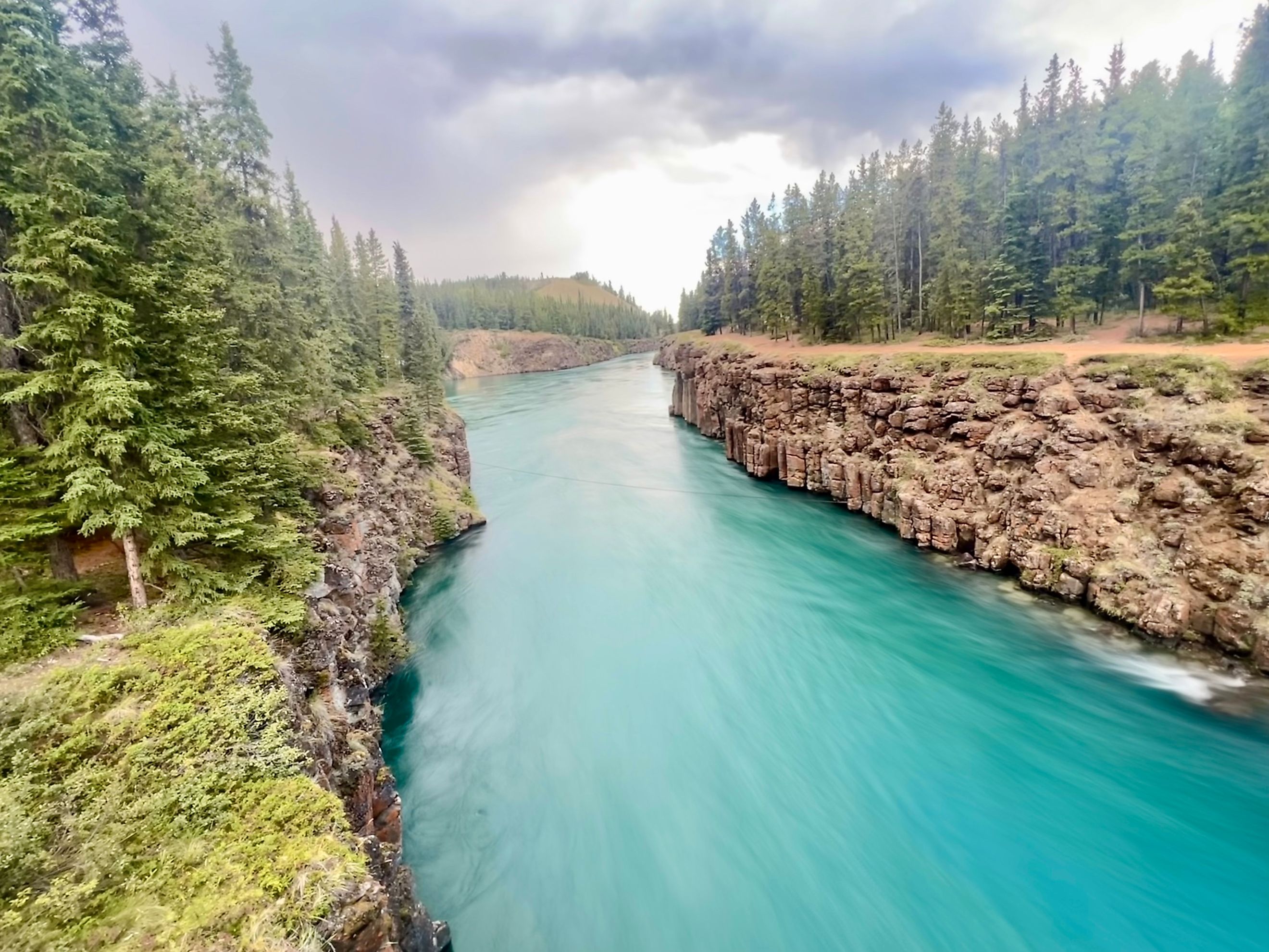
The Yukon River begins where glaciers retreat into mountain lakes. Its source is generally recognized as the Llewellyn Glacier at the southern end of Atlin Lake in British Columbia. Meltwater flows north into a chain of lakes (Atlin, Tagish, and Marsh) before merging into a single channel at the northern end of Marsh Lake near Whitehorse. That point marks the true start of the Yukon River.
Some hydrologists argue that Teslin Lake should be considered the river’s true headwaters because it contributes more water through the Teslin River at Hootalinqua. Regardless of the starting point, the upper Yukon moves swiftly across rugged valleys and through glacially carved basins that gleam under endless daylight in summer.
Beyond Whitehorse, the river widens into Lake Laberge, immortalized by poet Robert W. Service in "The Cremation of Sam McGee." As it continues north, the current passes through Carmacks and the legendary gold town of Dawson City before crossing into Alaska.
The Golden Artery of the North

During the Klondike Gold Rush of 1896 to 1903, the Yukon became the lifeline of a new frontier. Miners, traders, and dreamers pushed north along its length, hauling supplies on paddlewheel steamers that churned through icy water toward Dawson City and the Klondike goldfields.
Those riverboats were the heartbeat of the boom. Dozens of sternwheelers ferried goods and passengers, stopping at small settlements that grew into trading posts. For a brief time, the Yukon was one of the busiest waterways in North America.
Even after the gold rush faded, the river continued to carry freight until the 1950s, when new roads and the Klondike Highway shifted traffic onto land. Echoes of that era remain in weathered docks, abandoned boats, and the stories passed down through the generations of Alaska Native and First Nations communities that still live along its banks.
A Name Rooted in Language and Light

Long before the gold rush, the river had many names reflecting the Indigenous cultures that depended on it. In the Gwich’in language, it was called Ųųg Han, meaning “white water river,” inspired by the pale glacial runoff that gives the Yukon its milky color. Other groups used variations such as Kuig-pak in Yup’ik, meaning “big river.”
In the 1840s, as Russian and British traders moved through the region, the Gwich’in name evolved into “Yukon.” The meaning carries both a visual and cultural resonance, the light color of its waters and the deep spiritual connection communities hold with the land.
Through the Heart of Alaska

Once the Yukon crosses the border into Alaska, it begins a vast, sweeping arc toward the Bering Sea. The river passes through Eagle, Circle, Fort Yukon, Stevens Village, and a succession of remote towns that rely on its steady presence.
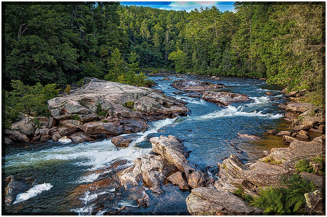
For hundreds of miles, the landscape alternates between spruce forests, rolling hills, and tundra flats that shimmer with sunlight. The Five Finger Rapids near Carmacks and Rink Rapids downstream test the skill of any pilot. Barges still navigate the river in summer months, delivering fuel, vehicles, and freight to isolated settlements unreachable by road.
Further downstream, the Yukon widens into a maze of channels and wetlands that form the Yukon-Kuskokwim Delta, one of the largest river deltas in the world. The delta is home to communities like Emmonak, Alakanuk, and Kotlik, where fishing and subsistence traditions remain the foundation of daily life.
Bridges and Crossings

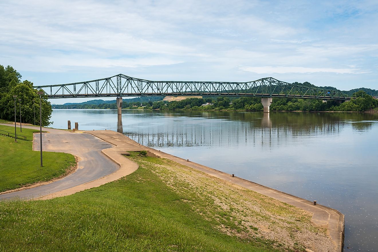
Despite spanning nearly 2,000 miles, the Yukon River is crossed by only four vehicle bridges. The first is the Lewes Bridge north of Marsh Lake, followed by the Robert Campbell Bridge in Whitehorse, the bridge at Carmacks on the Klondike Highway, and the E.L. Patton Bridge north of Fairbanks on the Dalton Highway.
In Dawson City, a ferry carries vehicles across the river during summer months, while winter brings the transformation of the current into an ice road. For many in the Yukon, this seasonal rhythm between ferry and frozen crossing remains a symbol of endurance and adaptation in the far north.
A Highway of History and Heritage

The Yukon River corridor is dotted with relics of human ambition. Old mining claims, rusting dredges, and trading posts line its banks. The “Thirty Mile” section between Lake Laberge and the Teslin River has been preserved as a Canadian Heritage River and is part of the Klondike Gold Rush International Historical Park.
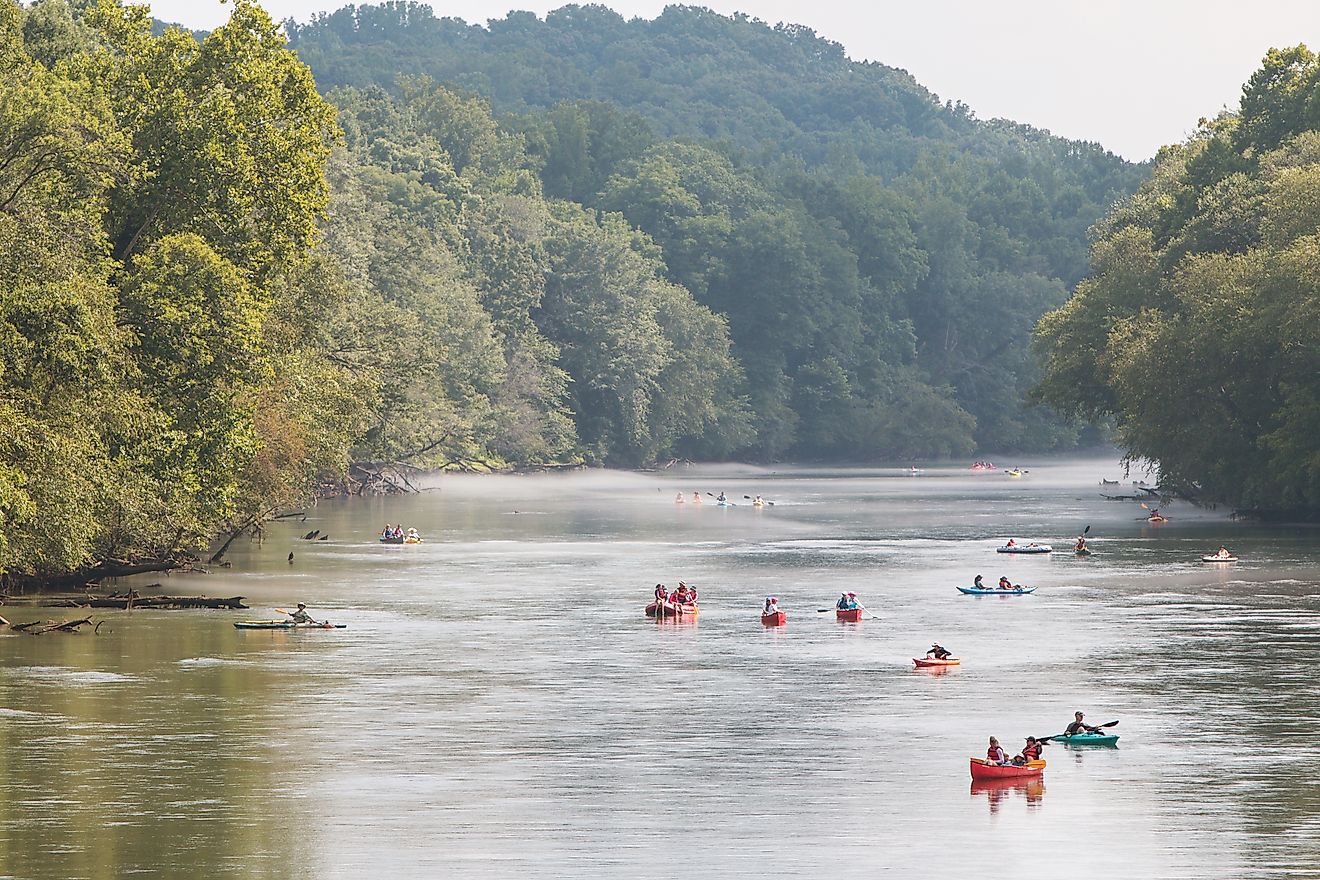
This stretch offers a glimpse into an earlier era, where wooden cabins lean toward the current and boreal forests close in on the water’s edge. For those who trace the route today by canoe or raft, the silence feels immense, interrupted only by the wingbeats of eagles or the crack of breaking ice in spring.
A Modern Lifeline

In contemporary Alaska, the Yukon remains a critical artery of transport and culture. Barge companies like Ruby Marine haul supplies during the brief summer window when the river runs ice-free. Goods move to towns along the Yukon, Tanana, Innoko, and Koyukuk rivers.
Airstrips connect smaller settlements to regional hubs, but river transport remains essential for heavy freight. For those who live along its banks, the Yukon provides salmon, water, and access to one of the world’s last truly wild regions.
The River’s Living Ecology

The Yukon River supports an intricate ecosystem stretching across mountains, wetlands, and tundra plains. Black spruce forests dominate many upper slopes, especially in the Nulato Hills near the Seward Peninsula. This area marks the westernmost limit of black spruce in North America.
Along the river’s lower course, vast wetlands form one of the continent’s richest wildlife habitats. The Yukon Delta National Wildlife Refuge, along with others such as Yukon Flats and Innoko National Wildlife Refuges, protects millions of acres of nesting and feeding grounds for migratory birds, moose, caribou, and bears.
The water itself carries fine silt and suspended sediment that give it a pale, milky hue. Its turbidity is higher than that of Siberia’s major Arctic rivers, a sign of the glacial melt and erosion that continually reshape the landscape. Despite its turbidity, the Yukon’s water quality remains relatively healthy. Monitoring by the U.S. Geological Survey shows stable oxygen levels and minimal heavy metal contamination.
Guardians of the Watershed

Care for the Yukon River extends beyond borders. The Yukon River Inter-Tribal Watershed Council unites 70 First Nations and tribes across Alaska and Canada with a shared goal: to restore the river’s health. The council conducts water quality testing, works to clean up pollution from old military and mining sites, and advocates for sustainable practices throughout the watershed.
This partnership reflects the enduring relationship between the river and the communities it sustains. For thousands of years, the Yukon has served as both provider and pathway, connecting distant cultures across an immense wilderness.
Hazards and Challenges

The Yukon’s beauty hides its challenges. Swift currents, shifting sandbars, and icy debris make navigation difficult. The Five Finger Rapids, in particular, earned a reputation among early steamboat captains as one of the river’s most dangerous sections. Even today, pilots who guide barges must read the river’s surface carefully to avoid the submerged rocks and whirlpools that lie beneath.
Seasonal flooding poses another risk, especially during spring thaw when ice jams can raise water levels dramatically. Communities along the lower Yukon remain vigilant each year as the ice breaks and the river surges toward the sea.
A River of Story and Survival

The Yukon River remains a symbol of endurance, flowing through centuries of change without losing its identity. It links glaciers to ocean, mountains to tundra, and generations of people to a landscape both harsh and magnificent.
Along its banks, salmon runs return with the same determination that once drove miners north and sustains Indigenous traditions today. In winter, the river locks beneath ice thick enough to carry trucks. In summer, it becomes a highway of light and reflection, stretching endlessly toward the horizon.
Quick Facts: The Yukon River
| Feature | Detail |
|---|---|
| Length | 1,980 miles |
| Drainage Basin | 330,000 square miles |
| Average Flow | 230,000-250,000 cubic feet per second |
| Source | Llewellyn Glacier, British Columbia |
| Mouth | Bering Sea at the Yukon-Kuskokwim Delta |
| Bridges | Four vehicle bridges, two pedestrian bridges |
| Major Communities | Whitehorse, Dawson City, Fort Yukon, Galena, Emmonak |
| Historic Role | Transportation route during Klondike Gold Rush (1896–1903) |