Rio Grande River
When people ask where the United States ends and Mexico begins, the answer often follows the flow of a river—the Rio Grande. This powerful waterway is more than a geographic boundary. It’s a historical artery, a cultural divide, a lifeline for agriculture, and a natural marvel that carves its story across nearly 2,000 miles of North America. From the snowy peaks of Colorado to the warm waters of the Gulf of America, the Rio Grande has shaped lives, livelihoods, and landscapes for centuries.
Today, it ranks as the fifth-longest river in North America and the 20th longest in the world. But its influence far outweighs its ranking.
A High-Altitude Origin Story

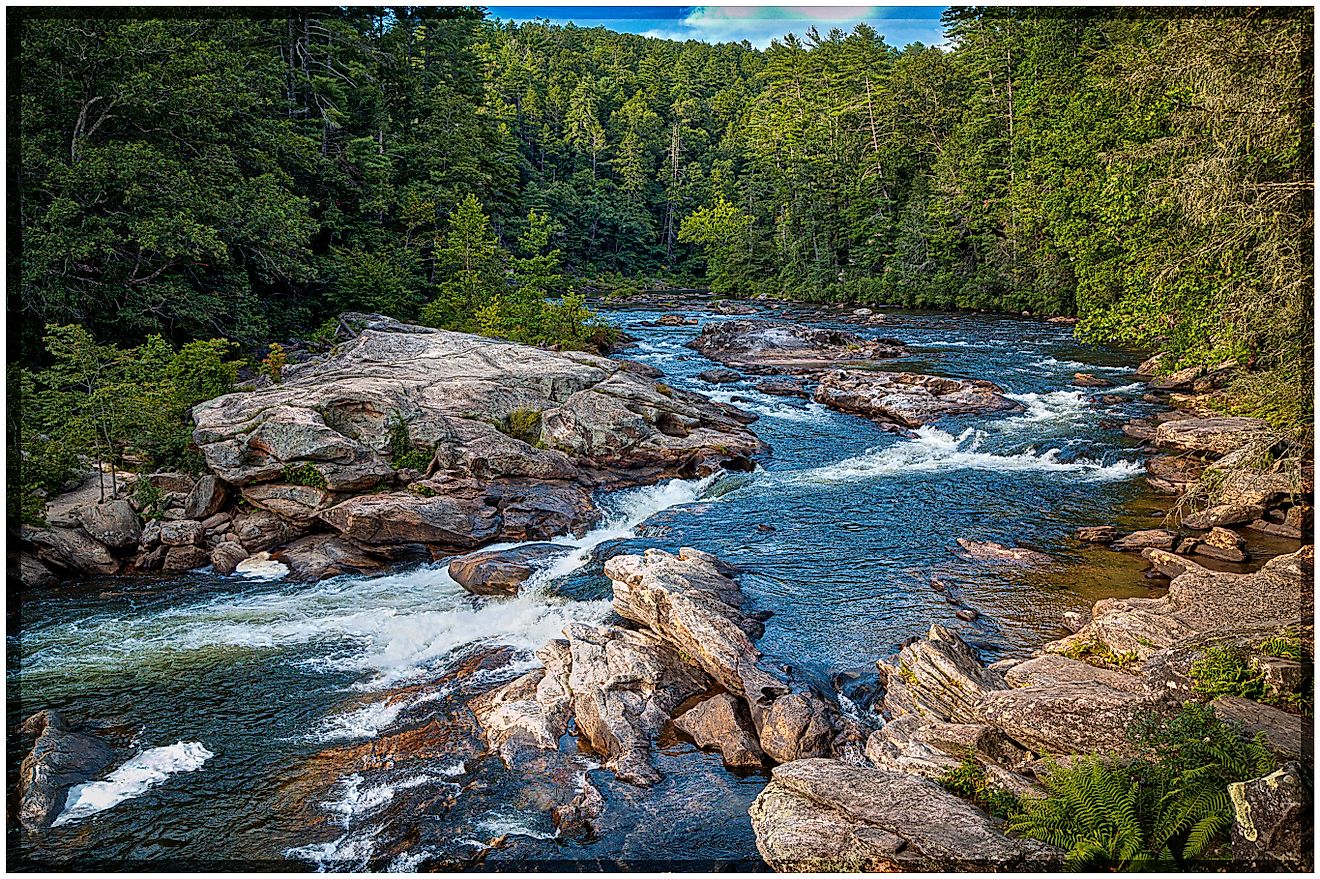
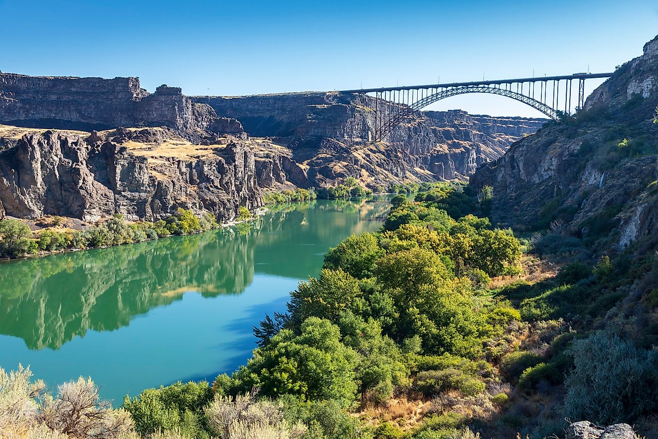
The Rio Grande, or Río Bravo as it’s known in Mexico, originates in the San Juan Mountains of southwestern Colorado. It starts more than 12,000 feet above sea level as a snow-fed stream, weaving through dense forests of spruce, fir, and aspen. As it descends from this alpine terrain, the river cuts a dramatic path through steep canyons, including the Rio Grande Gorge and White Rock Canyon in northern New Mexico.
From these heights, the river begins its slow transformation—from a mountain stream to a desert lifeline.
Geography and Ecosystems Along the Rio Grande

The Rio Grande’s 1,900-mile route takes it through a diverse array of ecosystems. In Colorado and northern New Mexico, it supports cold steppe climates, where piñon pine and sagebrush dot the landscape. But as it flows south, the river meets the arid heat of the Chihuahuan Desert. Here, mesquite, cactus, yucca, and creosote bush dominate the scenery.
The river then enters a geologically faulted region near Big Bend—a dramatic U-turn in the river’s course that gives Big Bend National Park its name. This region features three deep canyons and some of the most breathtaking desert scenery in the US.
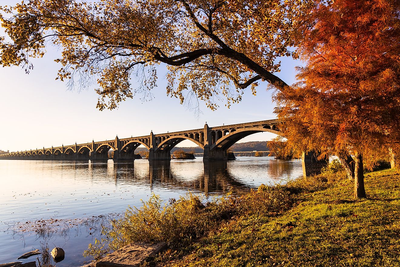
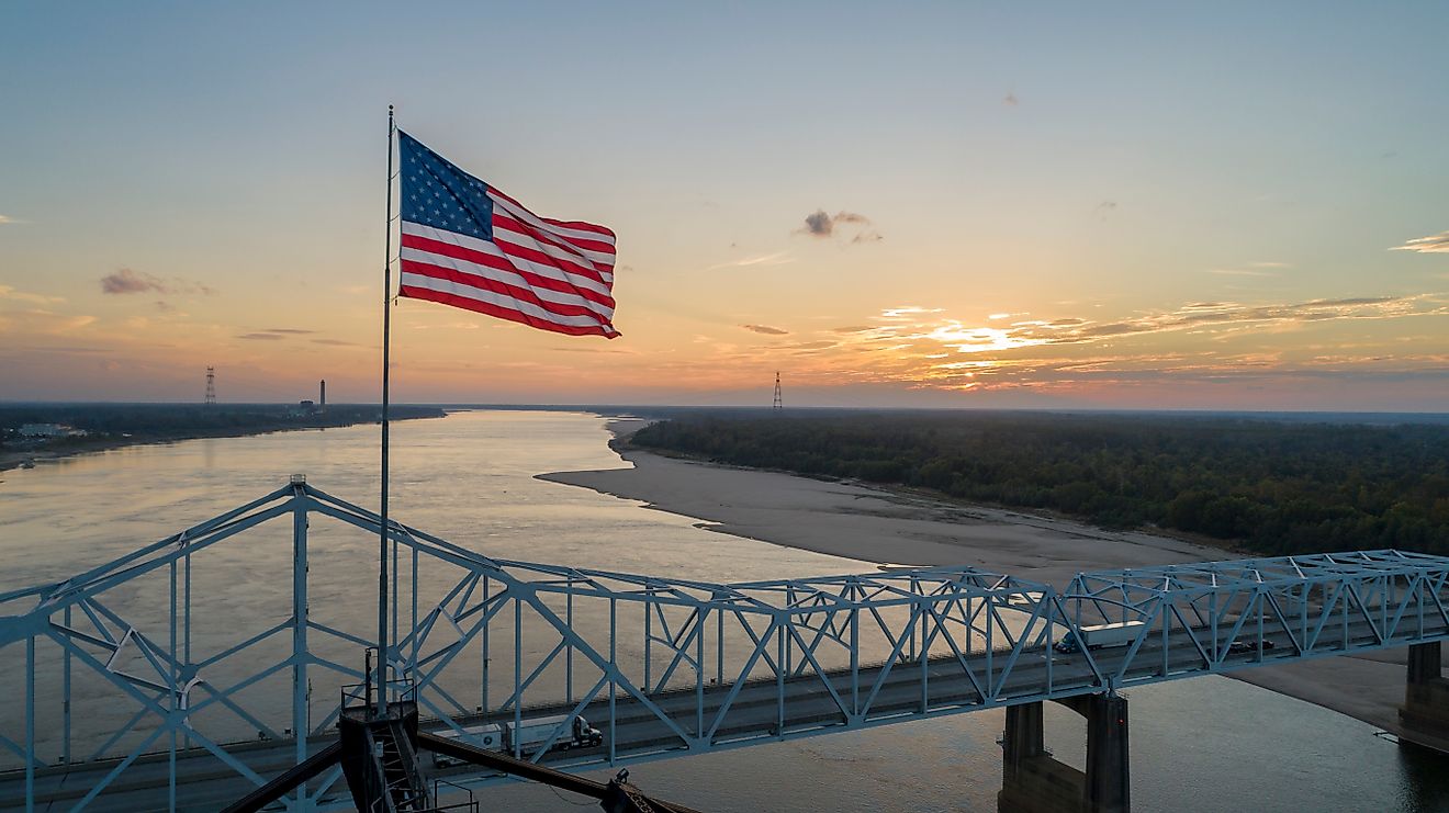
Eventually, the Rio Grande meanders slowly across the Gulf Coastal Plain. It ends its long journey in a fertile delta near Brownsville, Texas, where its waters reach the Gulf of America.
The Rio Grande as the International Boundary

For 1,240 miles, the Rio Grande forms the natural border between the US state of Texas and the Mexican states of Chihuahua, Coahuila, Nuevo León, and Tamaulipas. Its role as a boundary has made it both a symbol and a point of tension—a political landmark shaped by treaties, droughts, floods, and human intervention.
Its significance led to the signing of the 1944 US–Mexico Water Treaty, which governs how the two nations share the river’s resources. This treaty, and earlier agreements like the Rio Grande Compact (1939), were necessary due to the heavy demands on the river’s limited water supply.
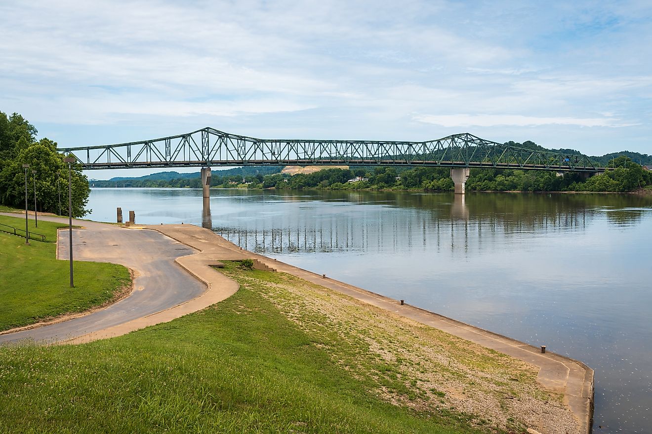
Tributaries and Water Management

While the Rio Grande stretches nearly 2,000 miles, it relies heavily on a relatively small number of tributaries to maintain its flow—including the Pecos, Devils, Chama, and Puerco rivers in the US, and the Conchos, Salado, and San Juan in Mexico.
The Conchos River, originating in the Sierra Madre Occidental of Chihuahua, is the most significant. It provides more than one-sixth of the Rio Grande’s total flow and is responsible for replenishing the river after long, dry stretches.
Dams and reservoirs play an essential role in water management. Notable ones include:
-
Elephant Butte Reservoir in New Mexico
-
Falcon Reservoir on the lower Rio Grande
-
Amistad Dam, an international project completed in 1969
-
Lake Toronto (La Boquilla Dam) on the Conchos
-
Marte Gómez and Venustiano Carranza reservoirs in Mexico
However, despite this infrastructure, water scarcity remains a critical issue. Many parts of the river, particularly between New Mexico and Brownsville, Texas, can dry up completely at times.
Agriculture and Industry

Since prehistoric times, the Rio Grande has supported irrigation. Indigenous Pueblo peoples were the first to develop sophisticated agricultural systems here, a tradition that continues today across the river’s basin.
More than 2.1 million acres of farmland rely on its waters. The crops vary by region:
-
Colorado: potatoes, alfalfa
-
Southern New Mexico and West Texas: cotton, pecans, grapes
-
Lower Rio Grande Valley (Texas and Tamaulipas): citrus fruits, vegetables
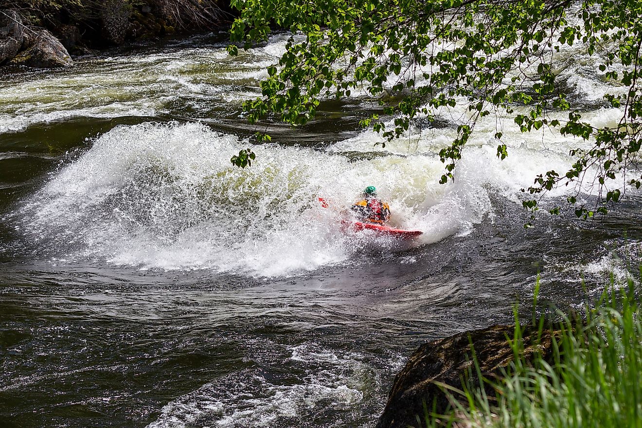
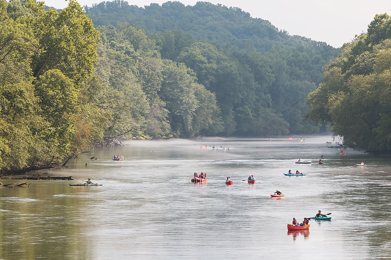
Beyond farming, the river supports livestock, mining, and recreation. The region is rich in natural resources—oil, gas, uranium, gypsum, and even silver and gold. Meanwhile, national parks, state monuments, rafting tours, and hunting camps boost the local economies through tourism.
Life Along the Riverbanks

Several major cities lie within the Rio Grande basin:
-
In the US: Albuquerque, Las Cruces, El Paso, Laredo, and Brownsville
-
In Mexico: Juárez, Chihuahua, Monterrey, Matamoros, Saltillo, Reynosa
These urban centers are cultural crossroads. They’ve grown around the river and represent the complex human geography of the region—where languages, traditions, and policies blend and sometimes clash.
A River Shaped by History

The Rio Grande’s history predates borders. Indigenous peoples lived and farmed along the river long before European explorers arrived. Spanish expeditions began in the early 1500s, with Álvar Núñez Cabeza de Vaca possibly crossing the river in 1535–36.
By the late 16th century, colonists had settled the upper Conchos drainage and the upper Rio Grande Valley in New Mexico. These early settlements were followed by missions and forts that laid the groundwork for modern cities.
American explorers like Zebulon Pike and John C. Frémont helped map the upper basin in the early 1800s. By the 1850s, the river had become an international concern, with boundary commissions beginning scientific surveys.
During the late 1800s, the Rio Grande even supported steamboat navigation—reaching as far upstream as Rio Grande City. That era ended when a massive hurricane in 1874 swept away infrastructure and reshaped the river’s lower course.
The Future of the Rio Grande

The Rio Grande’s modern story is one of resilience under pressure. Drought, overuse, and climate change threaten its flow and ecosystems. In some years, the river fails to reach the Gulf of America. In other places, invasive species and pollution are growing concerns.
Efforts to restore and protect the river—through binational cooperation, habitat conservation, and smarter water use—are underway but face major hurdles. With both nations dependent on its waters, the Rio Grande is a test case in shared environmental stewardship.
Frequently Asked Questions
Where does the Rio Grande start and end?
It starts in the San Juan Mountains of Colorado and ends in the Gulf of Ameria near Brownsville, Texas.
How long is the Rio Grande?
About 1,900 miles, making it the fifth-longest river in North America.
What states and countries does the Rio Grande flow through?
The river flows through Colorado, New Mexico, and Texas in the US, and forms the border with Mexico’s Chihuahua, Coahuila, Nuevo León, and Tamaulipas.
Why is the Rio Grande important?
It provides water for agriculture, defines the US-Mexico border, and supports ecosystems, cities, and economies along its route.
Is the Rio Grande drying up?
Some sections experience no surface flow during dry periods due to overuse and climate change. Conservation efforts are ongoing.