Ohio River
Flowing nearly a thousand miles through the heart of the eastern United States, the Ohio River is far more than a scenic waterway. It’s a historic highway, a powerful commercial route, a natural boundary, and a defining force in the development of the Midwest. Formed by the confluence of the Allegheny and Monongahela rivers in Pittsburgh, Pennsylvania, the Ohio River winds through six states before meeting the Mississippi River at Cairo, Illinois. With a drainage basin of more than 200,000 square miles, it is one of the most significant rivers in the country—geographically, historically, and economically.
Where the Ohio Begins and Ends

The Ohio River officially begins in Pittsburgh, where two smaller rivers—the Allegheny from the north and the Monongahela from the south—merge in a powerful and symbolic confluence. From there, it flows northwest before bending southwesterly, cutting a sinuous path across the east-central United States. It passes along the borders of Ohio and West Virginia, Ohio and Kentucky, Indiana and Kentucky, and finally Illinois and Kentucky before emptying into the Mississippi at the historic river town of Cairo.
At 981 miles long, the Ohio is shorter than many of the world’s great rivers, but what it lacks in length it more than makes up for in importance. In fact, it contributes more water to the Mississippi River than any other tributary. The vast Ohio River watershed drains parts of 14 states, encompassing 203,900 square miles of farmland, forests, and urban centers.
A Narrow but Mighty Corridor

The Ohio River flows through a generally narrow valley, ranging in width from less than half a mile near Pittsburgh and Wheeling to a little more than a mile between Cincinnati and Louisville. The valley expands slightly as the river travels south and west, but the relatively narrow corridor has made it a convenient and efficient path for early transportation and trade.
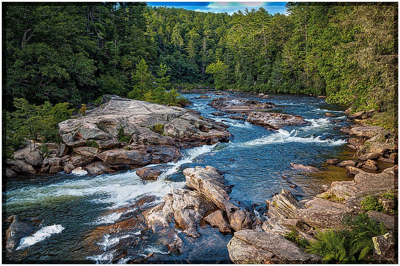
Although the Ohio River’s elevation drops only 429 feet from Pittsburgh to Cairo, the most dramatic descent comes at the Falls of the Ohio near Louisville, Kentucky. Here, the river plunges 24 feet in just 2.5 miles. This natural obstacle posed a serious challenge to early river navigation, but the installation of a lock and dam system transformed the falls into a navigable section of river, allowing for the continued flow of commerce.
A Historic Waterway of Conflict and Settlement

The Ohio River has long been a strategic waterway—one that shaped the fate of empires and the birth of the American Midwest. French explorer René-Robert Cavelier, Sieur de La Salle, is believed to have been the first European to lay eyes on the Ohio in 1669. His journey downstream was eventually blocked by the Falls of the Ohio, but the river’s potential was clear even then.
In the 1750s, control of the Ohio River Valley became a key flashpoint in the French and Indian War. The river’s fork at Pittsburgh was particularly coveted, as it offered access to the vast interior of the continent. When the British defeated the French and claimed the region in the 1763 Treaty of Paris, it set the stage for westward expansion. Under the Northwest Ordinance of 1787, the newly established US government opened the territory to settlers, many of whom floated down the Ohio’s headwaters to begin new lives in Ohio, Indiana, and beyond.
A River of Cities and Commerce

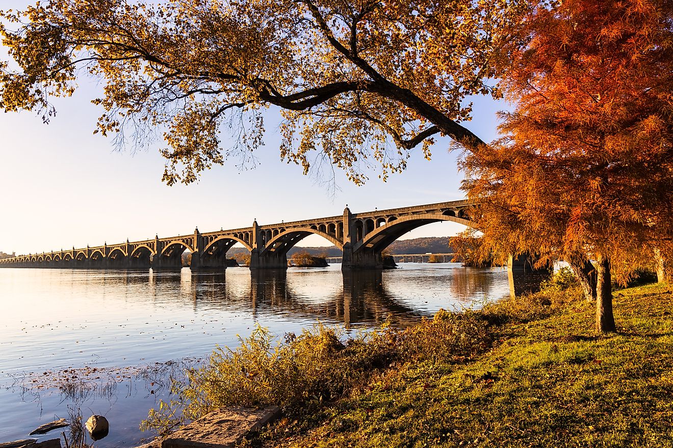
The Ohio River became a natural conduit for commerce and urban growth. Cities sprouted along its banks, growing with the river’s current. In addition to Pittsburgh and Cairo, prominent cities lining the river include Cincinnati, Louisville, Wheeling, and Evansville. Smaller yet historically rich communities such as Steubenville, Marietta, Portsmouth, and Madison also trace their origins to the river’s influence.
These towns and cities have long relied on the Ohio River for trade, transportation, and industry. Coal, oil, steel, and manufactured goods flow up and down the river, aided by the US Army Corps of Engineers’ efforts to maintain a minimum navigable depth of 9 feet. Despite the river’s seasonal fluctuations and occasional flooding, it has remained a steady artery of economic activity.
Flooding has always been a concern along the Ohio. The 1889 Johnstown Flood in Pennsylvania and the devastating 1937 flood in Portsmouth, Ohio, prompted federal investments in flood control. A system of flood-control dams was built to stabilize the river and protect vulnerable communities—efforts that still benefit the region today.
The River’s Web of Tributaries

The Ohio River doesn’t flow alone. A network of major tributaries feeds it from both the north and south, each playing a role in shaping the landscape and hydrology of the basin.
From the south, the Ohio receives water from the Tennessee, Cumberland, Kanawha, Big Sandy, Licking, Kentucky, and Green rivers—many of which originate in the Appalachian Mountains and bring with them significant volumes of water and sediment. From the north, the Muskingum, Miami, Wabash, and Scioto rivers contribute runoff from the rolling hills and agricultural plains of Ohio, Indiana, and Illinois.
This tributary network creates a diverse ecosystem that supports a wide range of aquatic species, wetlands, and riparian environments. It also means that conditions on the Ohio River are closely tied to rainfall and land use across a vast area, making watershed management a complex, multi-state challenge.
Navigating the Ohio

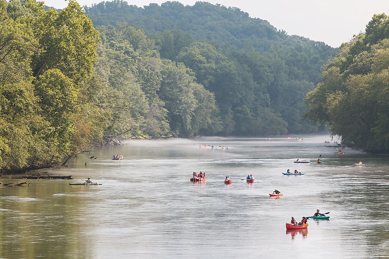
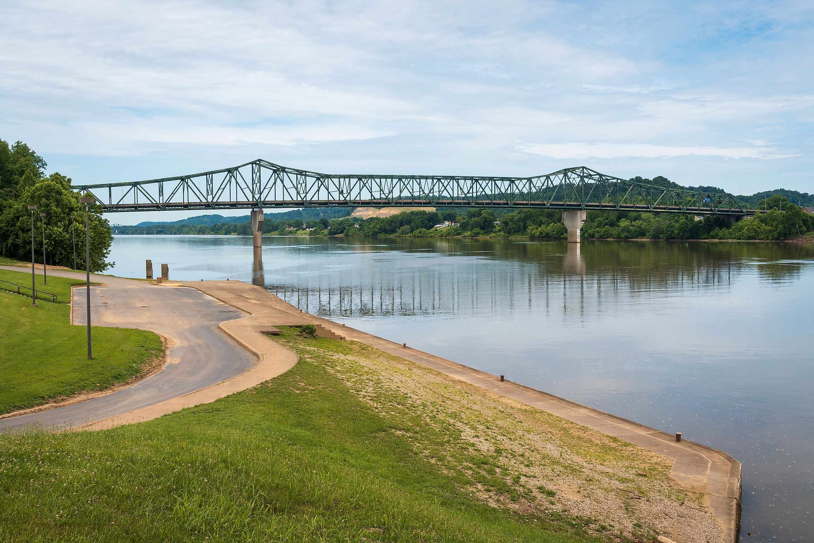
The Ohio River's consistent depth and wide channels make it one of America’s great navigable rivers. Barges regularly carry massive loads of raw materials and industrial products between inland cities and the Gulf of America via the Mississippi. Key ports along the river handle millions of tons of cargo annually, making the Ohio one of the busiest inland waterways in the United States.
Navigation is controlled through a series of locks and dams that stabilize water levels and allow barges to move smoothly, even in areas with significant elevation changes. The lock and dam system, maintained by the US Army Corps of Engineers, is critical to the region’s economy. It ensures that cities like Louisville—once stymied by the Falls of the Ohio—can now function as key hubs in a river-based trade network.
The Ohio River Today

Today, the Ohio River is a symbol of continuity in a rapidly changing world. It connects rural communities and industrial cities, weaves together centuries of history, and provides drinking water, recreation, and ecological services for millions.
Riverfront development has transformed many former industrial zones into parks, bike paths, museums, and entertainment districts. From Pittsburgh’s revitalized Three Rivers area to Louisville’s waterfront amphitheater and Evansville’s greenway trail, the river continues to evolve as both a cultural asset and a natural resource.
Yet the Ohio also faces modern challenges. Pollution from agriculture, industry, and aging infrastructure has led to water quality concerns, prompting ongoing monitoring and restoration efforts. Conservation groups and government agencies continue to work together to improve the health of the river and protect it for future generations.
America’s Heartland Highway

The Ohio River is more than a geographical feature—it's a living thread that ties together the past, present, and future of America's heartland. It has witnessed the clash of empires, carried the hopes of settlers, fueled the rise of industry, and now serves as a vital artery for commerce, recreation, and life in the eastern US.
From the confluence at Pittsburgh to the muddy junction at Cairo, the Ohio remains an enduring force—flowing steadily, shaping landscapes, and telling the story of a region that helped build a nation.
Fast Facts:
-
Length: 981 miles
-
Drainage Area: 203,900 square miles
-
Average Width: Less than 0.5 mile near Pittsburgh to more than 1 mile near Louisville
-
Major Tributaries: Tennessee, Cumberland, Kanawha, Muskingum, Scioto, Wabash
-
Key Cities: Pittsburgh, Cincinnati, Louisville, Evansville, Cairo