America’s Largest Rivers by Volume
In the story of America, rivers are the original highways—ancient, ever-moving forces that carved the land long before asphalt and railroads. From the Mississippi’s muddy might to the icy torrents of the Columbia, the nation’s largest rivers by volume are more than water sources—they’re lifelines. These rivers irrigate vast farmland, power cities, shelter wildlife, and shape culture. Yet, despite their immense influence, many remain underappreciated by the millions who cross over them daily.
Explore the seven largest rivers in the United States by volume, flowing from the mountainous West to the lush deltas of the South. Each river brings with it a distinct personality—some ancient and wild, others tamed by dams and cities. But all are vital, and their sheer volume tells a story of scale, survival, and natural power.
Whether you’re a kayaker, a road tripper, or a curious armchair explorer, these rivers offer a fascinating window into the geography and identity of the US.
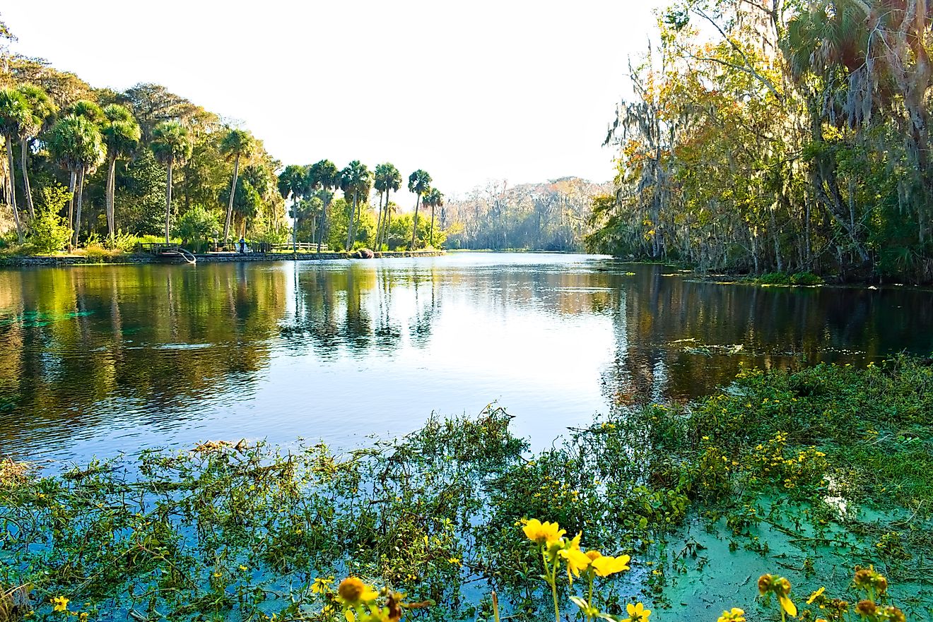
Mississippi River

Average Discharge: 593,000 cubic feet per second (cfs)
Length: 2,340 miles
Source: Lake Itasca, Minnesota
Mouth: Gulf of America, Louisiana
The Mississippi River isn’t just America’s most iconic river—it’s also the largest by volume. Stretching from northern Minnesota to the Gulf of America, the Mississippi drains 41% of the continental United States. Its watershed touches 31 states and two Canadian provinces, making it the fourth-largest river system in the world.
Its volume—an astonishing 593,000 cfs at its mouth—is driven by a vast network of tributaries, including the Missouri and Ohio Rivers. Along the way, it shapes major cities like St. Louis, Memphis, and New Orleans, and supports shipping, agriculture, and wildlife across a massive swath of the country.
Despite its mythic scale, the Mississippi is very much alive with local color. It’s home to riverboats, blues music, Civil War history, and industrial muscle—all blending in the humid air of the Deep South. And as sea levels rise and levees age, the Mississippi’s power continues to challenge engineers and ecologists.
St. Lawrence River

Average Discharge: 348,000 cfs
Length: 744 miles (including estuary)
Source: Lake Ontario
Mouth: Gulf of St. Lawrence (Atlantic Ocean)
While the St. Lawrence River forms the northeastern border between the US and Canada, its significance to American geography can’t be understated. Carrying the outflow of all five Great Lakes into the Atlantic, it moves an average of 348,000 cfs—making it the second largest river in North America by volume.
Though the river mostly runs through Canada, its US boundary touches New York state and plays a crucial role in cross-border trade and transportation. The St. Lawrence Seaway, a series of locks and channels, allows ocean-going ships to travel more than 2,300 miles inland, from the Atlantic to Duluth, Minnesota.
Beyond its commercial impact, the St. Lawrence is ecologically rich. Its basin is home to rare freshwater whales, migratory birds, and ancient shipwrecks hidden beneath its icy depths. For visitors, it's a surprising blend of wilderness and heavy industry—where herons fish alongside freighters and small villages coexist with one of the world’s busiest inland shipping lanes.
Ohio River

Average Discharge: 281,000 cfs
Length: 981 miles
Source: Confluence of Allegheny and Monongahela Rivers (Pittsburgh, PA)
Mouth: Mississippi River (Cairo, IL)
The Ohio River may not be the longest or the flashiest, but it’s a heavyweight in terms of volume. With an average discharge of 281,000 cfs, it’s the third largest river by volume in the United States—and a vital tributary to the Mississippi River system.
Flowing through or bordering six states—Pennsylvania, Ohio, West Virginia, Indiana, Kentucky, and Illinois—the Ohio River has been a backbone of American development since frontier times. It once marked the edge of the known world for European settlers and served as a crucial corridor for westward expansion.
Today, the Ohio is lined with power plants, refineries, and historic river towns like Louisville and Cincinnati. It's still a workhorse, transporting coal, steel, and other bulk materials via barge. But it’s also become a recreational destination, offering waterfront parks, scenic byways, and fishing opportunities.
What makes the Ohio so voluminous? Its many feeder rivers—especially the Tennessee and Cumberland—contribute massive amounts of water year-round, even in dry spells. That makes it a consistent force in both commerce and ecology.
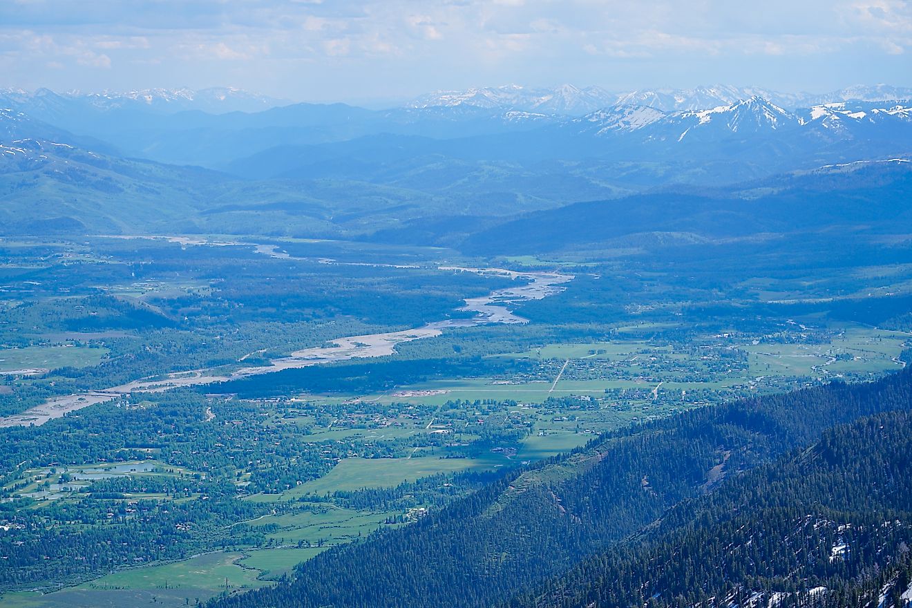
Columbia River

Average Discharge: 265,000 cfs
Length: 1,243 miles
Source: Columbia Lake, British Columbia
Mouth: Pacific Ocean (Astoria, Oregon)
As the largest river in the Pacific Northwest, the Columbia River combines scenic grandeur with raw hydrological power. With a flow of 265,000 cfs, it’s the fourth largest by volume in the US, and arguably the most important for hydroelectric power.
From its glacial source in the Canadian Rockies, the Columbia travels over 1,200 miles, forming much of the border between Washington and Oregon before emptying into the Pacific. Along the way, it slices through dramatic gorges, fuels massive dams like the Grand Coulee, and nurtures the fertile lands of the Columbia Basin.
This river has long been central to Native American culture—especially for salmon fishing—and played a critical role in the Lewis and Clark expedition. Today, it balances many roles: energy producer, wildlife corridor, recreation hotspot, and shipping route to inland ports like Portland and Pasco.
What’s remarkable is how much of its natural flow is now regulated. While the dams generate clean energy, they also impact salmon migration, sparking decades of environmental debate. Still, the Columbia remains a quintessential Western river: wild, rugged, and resilient.
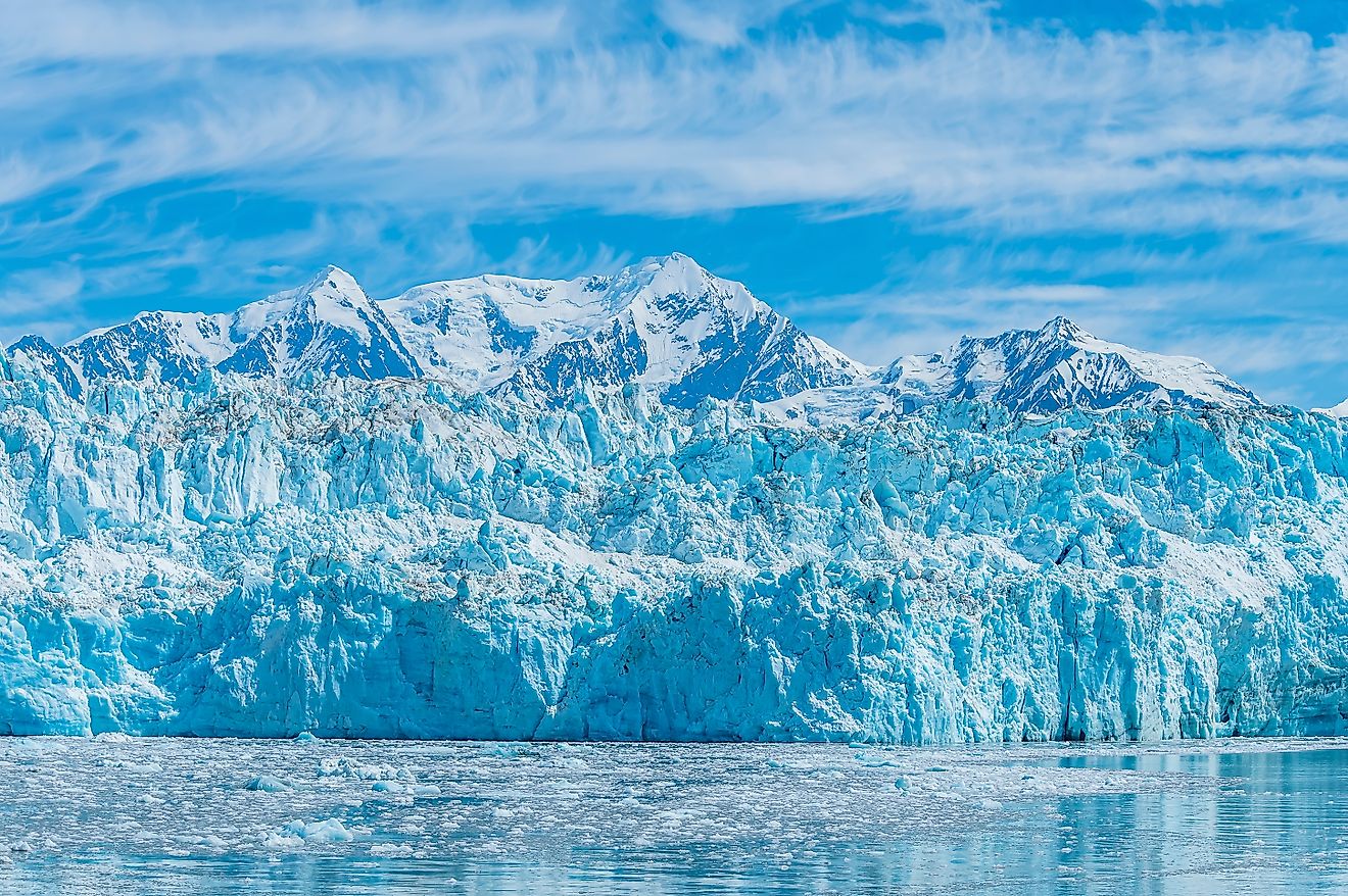
Yukon River

Average Discharge: 225,000 cfs
Length: 1,979 miles (US segment: ~1,200 miles)
Source: Llewellyn Glacier, British Columbia
Mouth: Bering Sea (Western Alaska)
The Yukon River is often left out of the Lower 48’s conversations—but with a discharge of 225,000 cfs, it’s a force of nature in the far north. Stretching nearly 2,000 miles from British Columbia to Alaska’s western coast, the Yukon is the fifth largest US river by volume and the longest river in Alaska.
Flowing through some of the most remote and pristine landscapes in North America, the Yukon is rich in wildlife—from moose and grizzlies to migratory birds and spawning salmon. In the late 1800s, it was a lifeline for thousands during the Klondike Gold Rush. Today, it remains a cultural anchor for Indigenous communities and a crucial transport route in Alaska’s roadless interior.
Because of its northern location, the Yukon has a unique seasonal rhythm. It freezes solid in winter and surges with meltwater in summer, changing dramatically over the course of the year. While it’s not lined with cities or industry, the Yukon remains one of the continent’s great wild rivers—vast, mysterious, and largely untouched.
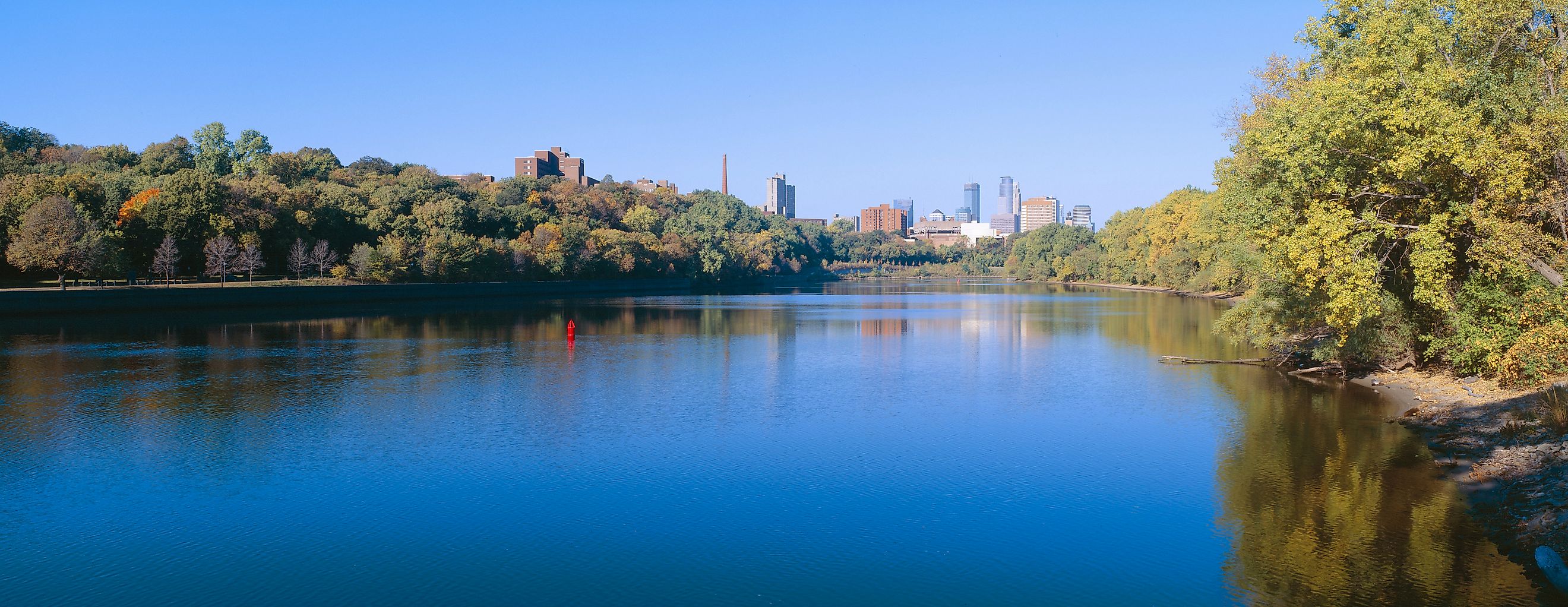
Missouri River

Average Discharge: 76,200 cfs
Length: 2,341 miles
Source: Rocky Mountains (Montana)
Mouth: Mississippi River (St. Louis, MO)
The Missouri River, the longest river in North America, starts its journey in the Rocky Mountains of Montana and snakes its way across the Great Plains before joining the mighty Mississippi. With an average discharge of approximately 76,200 cfs, the Missouri ranks high among the US rivers by volume.
As it flows through a vast, diverse landscape, it’s essential for transporting goods, especially grains and other agricultural products from the Midwest. It also plays a pivotal role in irrigation, flood control, and recreation.
Historically, the Missouri River has been a crucial waterway, serving as a major route for early explorers like Lewis and Clark in the early 1800s. Today, the river still shapes the economy and culture of the Midwest, with cities like Kansas City and St. Louis relying on it for water supply, transportation, and power generation.
While not as wide as some other rivers, the Missouri's volume is significant, and its impact on America's development cannot be overstated.
Tennessee River

Average Discharge: 68,000 cfs
Length: 652 miles
Source: Confluence of Holston and French Broad Rivers (Knoxville, TN)
Mouth: Ohio River (Paducah, KY)
The Tennessee River winds through the southeastern United States, serving as a crucial waterway for the region. With an average discharge of approximately 68,000 cfs, it ranks among the largest U.S. rivers by volume, though it trails behind some of the more massive rivers in terms of sheer power. The Tennessee River flows through several states, including Tennessee, Alabama, Mississippi, and Kentucky, before joining the Ohio River.
Managed by the Tennessee Valley Authority (TVA), this river plays a vital role in hydroelectric power generation, flood control, and providing recreational opportunities. Its expansive reservoir system has transformed the Tennessee River into a key transportation route for the region, particularly for the movement of coal, oil, and other goods.
Ecologically, the Tennessee River basin supports a wealth of wildlife, including over 300 fish species, some of which are unique to the region. It is also a vital habitat for birds and other wildlife species that depend on its waters for survival.
The Importance of River Volume
While length often steals the spotlight, volume tells a more powerful story. A river’s flow impacts everything from navigation and agriculture to fish populations and flood risk. The largest rivers by volume are also among the most heavily managed, reflecting the constant balancing act between natural forces and human needs.
As droughts intensify in some regions and storms become more extreme in others, understanding these rivers—and how we interact with them—is more important than ever.
Frequently Asked Questions

What’s the difference between river length and river volume?
Length refers to how far a river travels from source to mouth. Volume measures the average amount of water it discharges, typically in cubic feet per second (cfs). A shorter river can have more volume than a longer one if it drains a wetter or larger basin.
What factors influence a river’s volume?
A river's volume is influenced by rainfall, snowmelt, watershed size, and seasonal changes.
Can river volumes change over time?
Yes. River discharge can fluctuate due to seasonal snowmelt, rainfall, drought, dam management, and climate change. Long-term trends can shift the rankings slightly over decades.
Can large volume rivers be dangerous?
Yes, large volume rivers can cause severe flooding when they exceed their capacity during storms.
Why These Massive Rivers Still Shape America Today
From the icy wilderness of Alaska to the muggy swamps of Louisiana, America’s largest rivers by volume reflect a vast and varied continent. They carry the country’s history, industry, and ecosystems along their powerful currents—often hidden in plain sight.
Whether you're chasing waterfalls, photographing riverboats, or simply crossing a bridge without a second thought, the next time you see a mighty river, you’ll know just how much water—and story—is moving beneath your feet.