The 7 Windiest Places in the United States
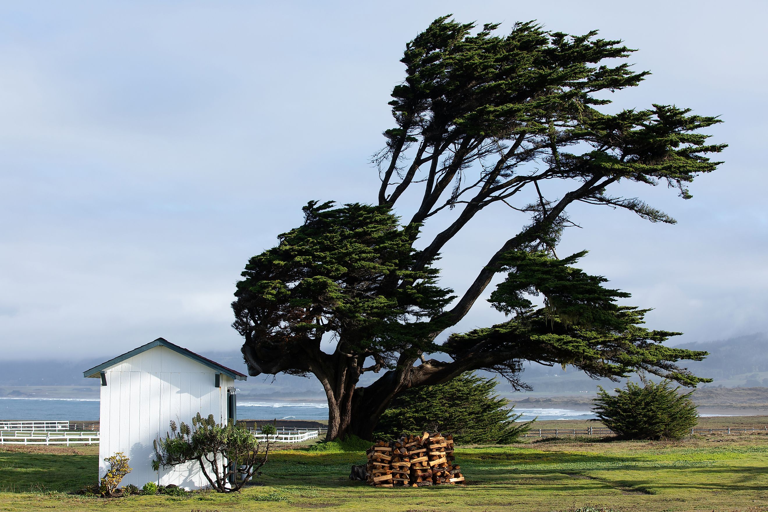
When the wind howls through open plains or roars across mountain tops, it leaves more than just a chill in the air. In certain parts of the United States, wind isn't just a passing weather event—it’s a constant companion. These are places where gusts whip across the landscape with such frequency and force that they've shaped everything from city infrastructure to daily routines.
From record-breaking mountaintop blasts to prairie towns swept by unending breezes, some locations endure wind speeds so intense they rival nature’s fiercest storms. These places stand out as some of the windiest in the country, where calm skies are the exception and the air is rarely still.
Mt. Washington, New Hampshire

Average Wind Speed: 35.0 mph
Mount Washington holds the record for the highest surface wind speed ever observed by humans that wasn’t inside a tornado or hurricane. In 1934, researchers recorded a staggering 231 mph wind gust at its summit. While that record has since been surpassed by tropical systems, Mt. Washington remains the windiest place in the US when it comes to average wind speed.
The peak is located in the White Mountains and stands at 6,288 feet, where it is exposed to weather systems from all directions. It experiences hurricane-force winds over 100 days per year. The combination of elevation, geography, and location along storm tracks makes Mt. Washington notorious among meteorologists. The Mount Washington Observatory operates year-round, staffed by scientists who endure brutal winds to study the mountain's weather patterns.
Dodge City, Kansas

Average Wind Speed: 13.9 mph
Located in southwestern Kansas, Dodge City is famous not just for its Wild West past but for its persistent prairie winds. The city sits within the Great Plains, where there are few natural barriers to slow down wind traveling across the landscape.
These plains act like a wind tunnel, funneling air masses across thousands of miles of flat terrain. The westerlies and frequent low-pressure systems contribute to the area’s high wind speeds, especially in spring. Wind energy development has followed, with numerous wind farms now dotting the horizon around Dodge City. The city also deals with frequent dust storms when dry conditions align with strong gusts.
Amarillo, Texas

Average Wind Speed: 13.5 mph
Amarillo lies in the Texas Panhandle and experiences strong winds due to its location within Tornado Alley and the southern Great Plains. The region sees consistent pressure gradients that lead to sustained breezes, particularly in late winter and spring.
The flat, open landscape doesn’t slow the wind, and temperature variations between cold fronts from the north and warm air from the Gulf of Ameria create a wind-swept corridor. Wind turbines are a common sight, and the city has adapted its infrastructure to cope with gusts that often exceed 30 to 40 mph.
Wind-related weather events are common, including blowing dust and reduced visibility. Amarillo's airport often ranks among the windiest in the country.
Cheyenne, Wyoming

Average Wind Speed: 12.3 mph
Cheyenne, the capital of Wyoming, is perched at 6,062 feet in elevation and lies between two major air masses: cold air descending from the Rocky Mountains and warmer air moving in from the Great Plains. This unique position creates a near-constant battle between opposing systems, generating persistent winds year-round.
The wind is particularly strong during the winter months when the jet stream dips low over the central US, bringing intense gusts. Residents are used to bending trees and wind-blasted snow. In fact, the state of Wyoming is one of the top producers of wind energy in the country, thanks in part to the conditions in and around Cheyenne.
Laramie, Wyoming

Average Wind Speed: 12.2 mph
Just 50 miles west of Cheyenne, the city of Laramie is equally known for its high winds. Located along the I-80 corridor, it frequently experiences strong crosswinds that have been known to tip over semi-trucks and cause travel delays. The corridor between Laramie and Rawlins is considered one of the most wind-prone highway stretches in the US.
Laramie sits on a high plateau and is surrounded by mountains, which helps accelerate wind speeds. When air is forced over the mountains and down into the basin, it can gain momentum and strike with surprising force. Wind advisories and high-wind warnings are regular features of the forecast.
Great Falls, Montana

Average Wind Speed: 12.1 mph
Great Falls lies in north-central Montana and serves as a natural funnel for Pacific air masses moving eastward. The city is located along the Missouri River and bordered by mountain ranges on both sides, creating a wind corridor that channels gusts with few obstacles.
Strong chinook winds frequently descend from the Rockies, bringing rapid warming but also extremely high wind speeds. These chinook winds are capable of producing gusts over 70 mph, and the phenomenon is so pronounced that temperature changes of 30 degrees in an hour are not uncommon. The constant wind has also turned Great Falls into a hub for wind energy in the northern Rockies.
Rochester, Minnesota

Average Wind Speed: 12.0 mph
While not as mountainous as some other places on this list, Rochester makes the cut due to its location on the upper Mississippi Valley, where air masses from the Arctic, Great Plains, and Great Lakes often collide. These changing systems lead to turbulent weather and strong surface winds, especially in the spring and fall.
Rochester's exposed position on a plateau east of the main Mississippi River channel means it receives little shielding from nearby terrain. The wind is a major factor in local weather forecasts, and many structures are built with aerodynamic considerations in mind.
The city is also home to the Mayo Clinic, and medical helicopters are frequently grounded due to high wind conditions, underscoring how disruptive Rochester’s wind can be.
Goodland, Kansas

Average Wind Speed: 11.9 mph
Situated in northwestern Kansas near the Colorado border, Goodland experiences constant wind due to its position in the open High Plains. The flat terrain allows wind to build and travel without interruption, and the area is frequently impacted by shifting weather patterns from the west.
Goodland often sees sudden changes in wind direction and speed due to strong frontal boundaries moving through the region. These high winds contribute to the city’s role in agriculture and wind energy, with many turbines installed across the surrounding farmland. The National Weather Service even maintains a forecasting office here to monitor the region’s rapidly changing atmospheric conditions.
Where the Wind Never Stops
From snow-covered peaks in New Hampshire to the dust-blown plains of Texas, wind shapes the lives and landscapes of these American cities. While it brings challenges like property damage, travel disruptions, and weather extremes, it also offers benefits. Many of these communities are now leaders in renewable energy, harnessing their natural breezes to power homes and businesses. In the windiest corners of the US, the breeze is more than background noise—it's a defining force of daily life.
Summary Table: The Windiest Places in the US
| Rank | Location | Average Wind Speed (mph) | Key Causes of Wind |
|---|---|---|---|
| 1 | Mt. Washington, NH | 35.0 | High elevation, storm convergence, exposure |
| 2 | Dodge City, KS | 13.9 | Flat plains, westerlies, low-pressure systems |
| 3 | Amarillo, TX | 13.5 | Pressure gradients, open terrain |
| 4 | Cheyenne, WY | 12.3 | Jet stream, elevation, mountain proximity |
| 5 | Laramie, WY | 12.2 | Plateau geography, downslope winds |
| 6 | Great Falls, MT | 12.1 | Chinook winds, river valley funneling |
| 7 | Rochester, MN | 12.0 | Competing air masses, elevation on plateau |
| 8 | Goodland, KS | 11.9 | Flat plains, changing air masses, High Plains corridor |