The Flattest States in America
When imagining the American landscape, mountain peaks and forested hills often steal the spotlight. But flat land, though less dramatic in appearance, covers vast areas of the United States and plays a crucial role in agriculture, infrastructure, and even weather. Some states are so consistently flat that elevation barely varies for hundreds of miles, creating wide, open spaces that seem to go on forever.
Using elevation data and terrain analysis, scientists have identified which US states are truly the flattest based on measurable variations in elevation. Here are the flattest states in the country, where level ground dominates the terrain and the horizon feels infinite.
Florida

- Estimated flat land coverage: 91%
Florida ranks as the flattest state in the US, with an average elevation of just 100 feet and almost no elevation variation across the peninsula. The state’s highest point, Britton Hill, rises to only 345 feet above sea level, making it the lowest high point of any state. Nearly the entire state lies on the Atlantic Coastal Plain, and its low relief landscape means that the land is almost uniformly level.
The Everglades, one of the most iconic landscapes in the US, showcase this vast flatness with slow-moving water flowing across expansive marshes. Florida's flat terrain makes it ideal for coastal development, agriculture, and tourism, though it also presents significant risks in the form of hurricanes and sea level rise.
Illinois

- Estimated flat land coverage: 89%
Illinois features some of the most uniformly flat terrain in the country thanks to glacial activity during the last Ice Age. As glaciers advanced and receded, they scraped and flattened the landscape, leaving behind fertile soil and a remarkably even topography.
Most of Illinois, especially north of Interstate 70, is part of the Central Lowlands, a geographic region known for its broad, level plains. This has allowed Illinois to become a major agricultural hub, especially for corn and soybeans. The Chicago metropolitan area also benefits from this flatness, making transportation and urban planning more straightforward.
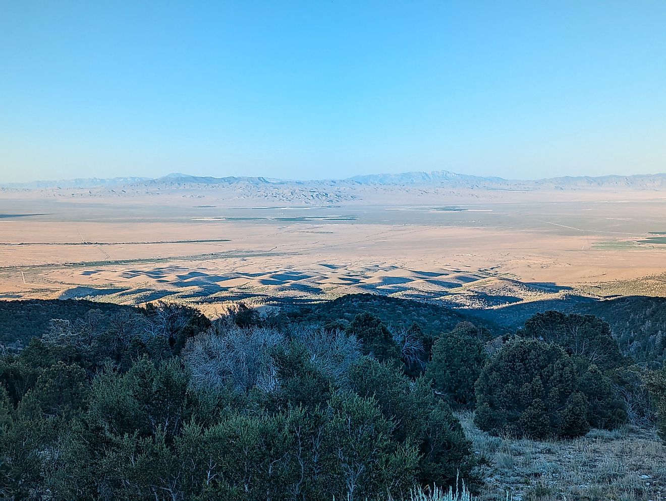
North Dakota

- Estimated flat land coverage: 87%
Eastern North Dakota is home to the Red River Valley, one of the flattest regions not just in the country, but on the continent. This area was once submerged under glacial Lake Agassiz, which deposited rich sediments across the region as it receded.
Today, this legacy is seen in the near-perfectly level terrain that supports expansive fields of wheat, soybeans, and sugar beets. Western North Dakota has more varied terrain with the presence of the Badlands, but the sheer scale of the flat eastern plains dominates the state's overall topography. This flatness has also helped the state become a leader in wind energy production.
Louisiana

- Estimated flat land coverage: 86%
Louisiana’s landscape is shaped by centuries of sediment deposits from the Mississippi River. As the river meanders and changes course, it leaves behind new layers of flat alluvial soil that stretch across the state. Much of southern Louisiana is just above sea level and consists of wetlands, bayous, and marshlands. The city of New Orleans, for example, is famously below sea level in some areas.
The state’s flat terrain has made it ideal for waterborne commerce and agriculture, but also highly susceptible to flooding, particularly during hurricanes and heavy rain events.
Minnesota

- Estimated flat land coverage: 84%
Minnesota is often associated with its lakes and forests, but large portions of the state, particularly in the west, are remarkably flat. This region also traces its origins to glacial Lake Agassiz, much like neighboring North Dakota. The legacy of this massive ancient lake is a vast, smooth landscape that remains one of the most productive agricultural zones in the Midwest.
While northeastern Minnesota is home to rugged terrain and higher elevations near Lake Superior, the flatter parts of the state stretch for miles and dominate the state’s agricultural identity.
Delaware

- Estimated flat land coverage: 83%
Delaware’s location entirely within the Atlantic Coastal Plain gives it a nearly uniform elevation profile. Much of the state lies less than 100 feet above sea level, with very little topographical variation from north to south. Its small size enhances the sense of flatness, as even the highest point, located near the Pennsylvania border, reaches only 447 feet. Farmland, wetlands, and suburban areas make up most of Delaware’s landscape, and the flat terrain allows for efficient development and transportation.
Kansas

- Estimated flat land coverage: 81%
Although Kansas gradually rises in elevation from east to west, the change is so subtle that it often goes unnoticed. The state is part of the Great Plains, with expansive grasslands and agricultural fields stretching uninterrupted to the horizon.
The High Plains region in western Kansas is particularly flat, making it a key area for wheat production and cattle ranching. While the eastern part of the state features slightly more hills and wooded areas, the vast majority of Kansas is composed of smooth prairie.
Texas

- Estimated flat land coverage: 80%
Texas spans a wide variety of landscapes, from the rugged mountains of the west to the rolling hills of central Texas. Yet much of the state, especially in the southeast and the Panhandle, is astonishingly flat. The Gulf Coastal Plain stretches inland for hundreds of miles, and the Llano Estacado plateau is so flat and featureless that early travelers reported becoming disoriented without visual landmarks. These vast level areas make Texas a major agricultural and industrial hub, with ample room for development, energy infrastructure, and transportation corridors.
Indiana

- Estimated flat land coverage: 79%
Indiana’s flatness is most apparent in its northern and central regions, which were shaped by glaciers that smoothed the land and left behind rich, fertile soils. These areas are now home to miles of farms producing corn, soybeans, and other crops. While southern Indiana is hillier due to the influence of the unglaciated Appalachian Plateau, the majority of the state’s population lives in the flatter northern half. This consistent topography has supported dense transportation networks and efficient agricultural practices.
Iowa

- Estimated flat land coverage: 78%
Iowa’s terrain features gentle hills and open farmland that create a sense of spaciousness and continuity. The state lies largely within the Dissected Till Plains, where glacial deposits formed a soft, rolling landscape that is often mistaken for being completely flat. While not as level as Florida or North Dakota, Iowa’s wide stretches of uninterrupted farmland place it high on the list of flattest states. The north-central region, in particular, is characterized by minimal elevation change.
Where Flatness Shapes the Horizon
The flattest states in America offer a unique and often underappreciated beauty. Their vast, open spaces support agriculture, energy production, and development while providing an expansive sense of scale and serenity. From the glacial plains of the Midwest to the low-lying wetlands of the Gulf Coast, these landscapes represent a powerful geological story that continues to influence how people live, work, and connect across wide, open land.
Summary Table: The Flattest States in the US
| Rank | State | Highest Point (Feet) | Estimated Flat Land Coverage | Key Flat Regions |
|---|---|---|---|---|
| 1 | Florida | 345 | 91% | Entire state |
| 2 | Illinois | 1,235 | 89% | Central and northern plains |
| 3 | North Dakota | 3,506 | 87% | Red River Valley |
| 4 | Louisiana | 535 | 86% | Mississippi River Delta, Gulf Coast |
| 5 | Minnesota | 2,301 | 84% | Western plains, Red River Valley |
| 6 | Delaware | 447 | 83% | Entire state |
| 7 | Kansas | 4,039 | 81% | Central and western prairies |
| 8 | Texas | 8,751 | 80% | Gulf Coast, Llano Estacado |
| 9 | Indiana | 1,257 | 79% | Northern and central farmland |
| 10 | Iowa | 1,670 | 78% | Dissected Till Plains, north-central region |