The Shortest Rivers in the United States
Some rivers stretch for thousands of miles, carving canyons and shaping continents. Others are barely long enough for a canoe ride. Across America, a handful of remarkably short rivers have earned official recognition for their length, or lack of it. Despite their size, these waterways often hold surprising stories. Some connect entire ecosystems, others form borders, and a few even sparked debates about what qualifies as a “river.”
These pint-sized rivers may be small in scale, but each one plays an outsized role in local history, ecology, or legend.
Roe River, Montana

-
Length: 201 feet
-
Location: Great Falls, Montana
-
Source: Giant Springs
-
Flows into: Missouri River
At just over 200 feet long, the Roe River has long claimed the title of the world’s shortest river, a record once recognized by the Guinness World Records. It flows gently between Giant Springs and the Missouri River near Great Falls, Montana, creating a serene scene where crystal-clear water bursts from the earth and merges with one of North America’s mightiest rivers.
The Roe River flows through limestone and travertine formations that date back to the Mississippian period, roughly 340 million years ago. Its clarity comes from groundwater filtered through porous rock, maintaining a steady year-round temperature. The river gained national attention in the 1980s when local students petitioned to have it officially declared the shortest river on Earth, briefly outpacing Oregon’s D River for the title.
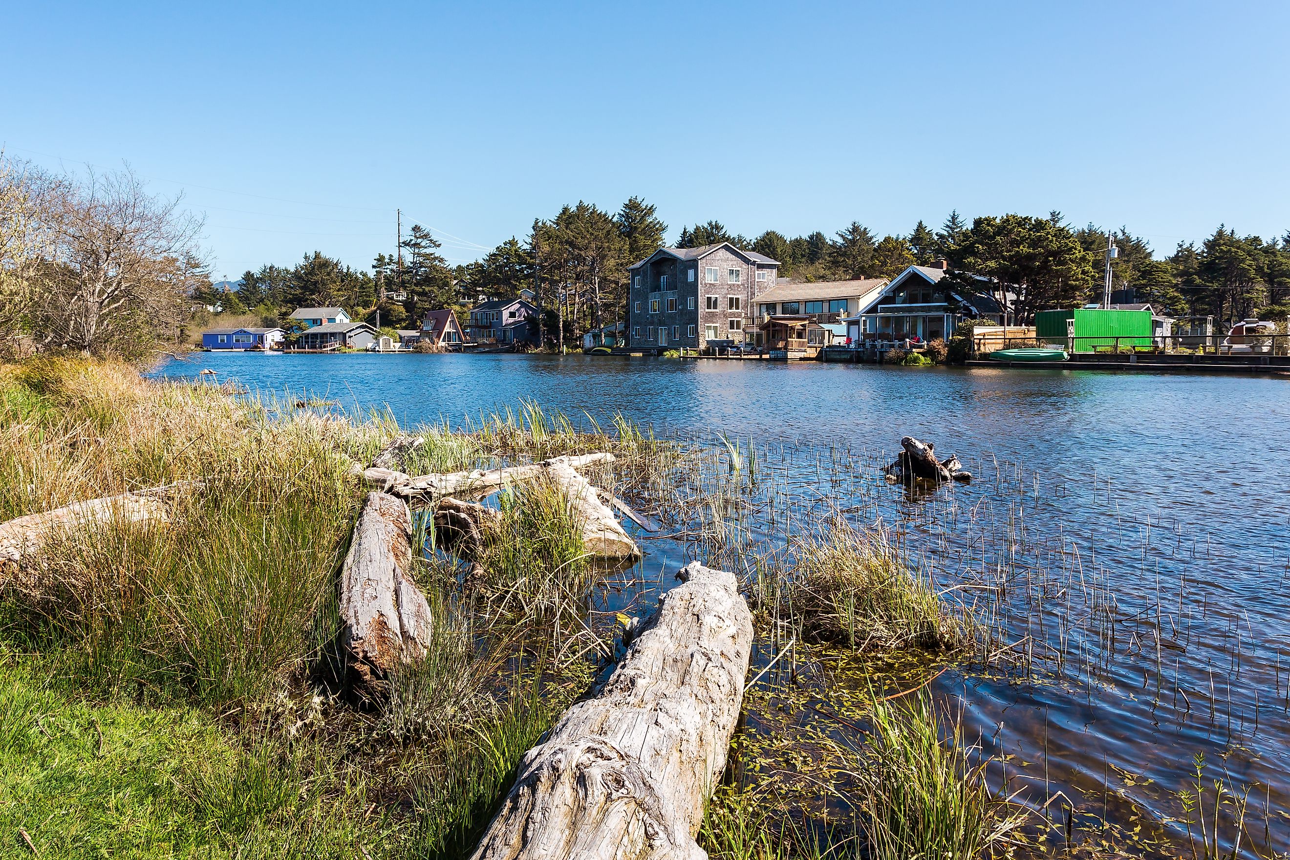
D River, Oregon

-
Length: 120 to 440 feet
-
Location: Lincoln City, Oregon
-
Source: Devils Lake
-
Flows into: Pacific Ocean
Once considered the shortest river in the world, the D River connects Devils Lake to the Pacific Ocean at Lincoln City, Oregon. Depending on tidal conditions, the river’s length fluctuates dramatically. Sometimes measuring only 120 feet, other times stretching closer to 440 feet.
Formed within a coastal dune system, the D River flows through young marine sediments and alluvium less than 10,000 years old. Its name originates from the city’s former slogan, “D is for Devils Lake.” Locals proudly call it the “shortest river in the world,” though its title has alternated with the Roe River over the decades. The annual Kite Festival held nearby celebrates the town’s breezy, beachside charm and its quirky claim to fame.
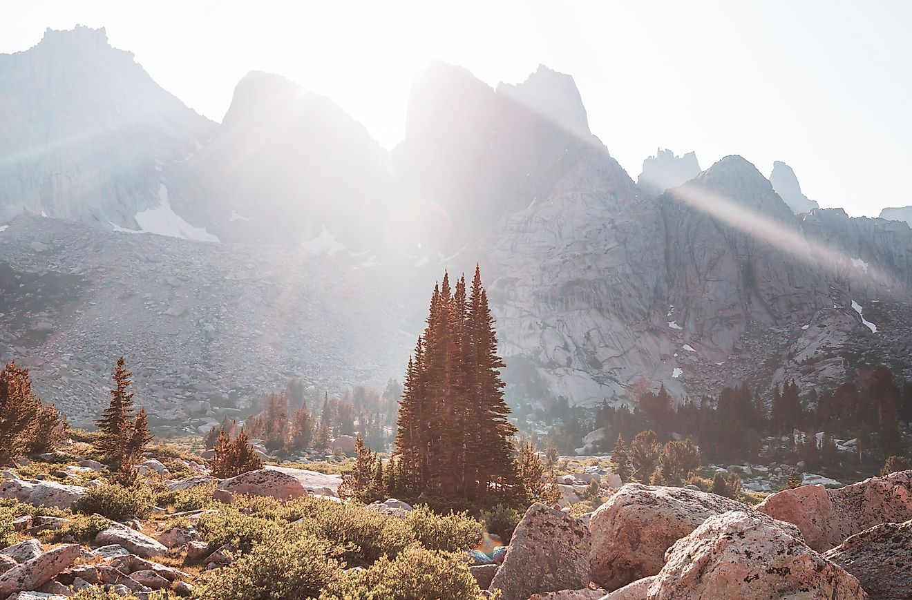
Thunder River, Arizona

-
Length: 0.5 miles
-
Location: Grand Canyon National Park, Arizona
-
Source: Thunder Springs
-
Flows into: Tapeats Creek
The Thunder River is a remarkably short yet dramatic river located entirely within the Grand Canyon National Park. It flows southeast from its source near the North Rim of the canyon to Tapeats Creek. Despite its brief length, Thunder River is notable for its steep descent, dropping approximately 1,200 feet over a series of waterfalls, making it one of the steepest rivers in the country.
Thunder River's unique characteristics include its rapid elevation change and the presence of multiple waterfalls along its course. The river's steep gradient and the surrounding canyon terrain contribute to its distinctive and powerful flow. Despite its short length, Thunder River plays a significant role in the Grand Canyon's hydrology and ecology.
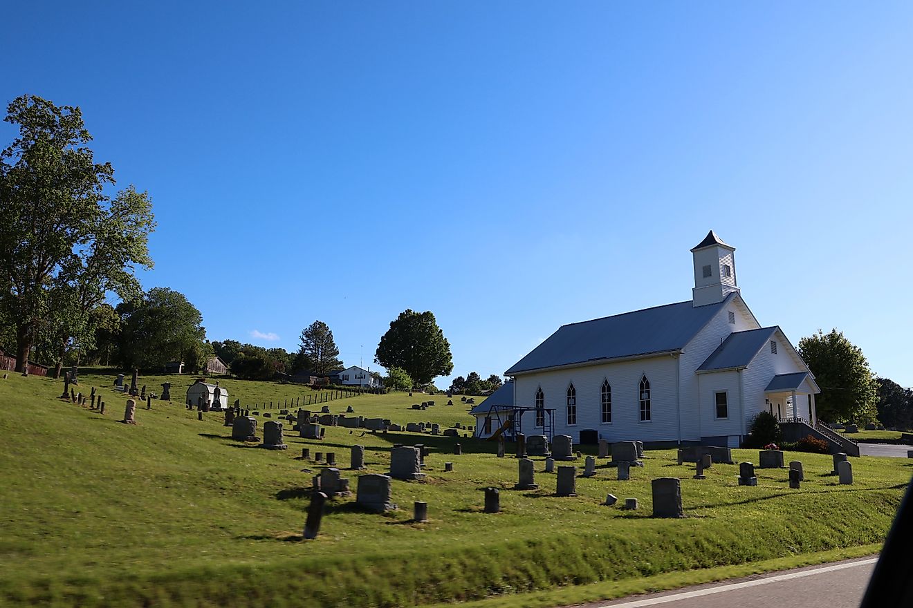
Powell River, Virginia and Tennessee

-
Length: 400 feet (in Virginia section)
-
Location: Lee County, Virginia and Claiborne County, Tennessee
-
Source: Appalachian karst springs
-
Flows into: Clinch River
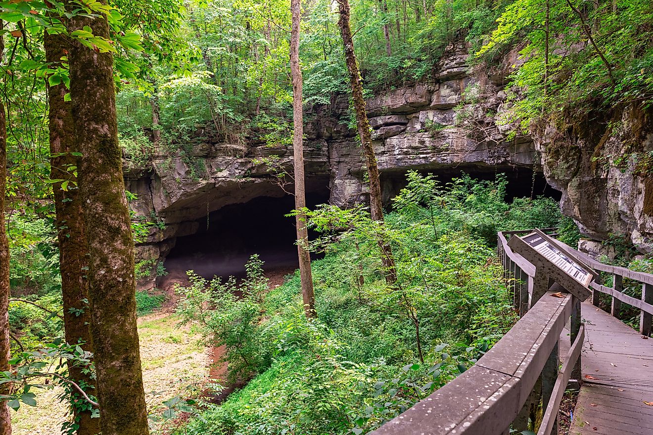
The Powell River might not be tiny overall, but its shortest section in Virginia has been measured at just 400 feet before expanding across the state line into Tennessee. It winds briefly through limestone karst terrain, emerging from cave-fed springs in the Appalachian foothills.
The river’s limestone bedrock was formed in the Ordovician period, roughly 450 million years ago, making it among the oldest geological landscapes in the eastern United States. Beneath the surface, cave systems and aquifers connect to larger subterranean waterways, demonstrating how even a “short” river can be part of a vast hydrological network.
Buskin River, Alaska

-
Length: 3.5 miles
-
Location: Kodiak Island, Alaska
-
Source: Buskin Lake
-
Flows into: Saint Paul Harbor (Chiniak Bay)
The Buskin River is a short but ecologically significant river located on Kodiak Island in Alaska. It flows from Buskin Lake to Saint Paul Harbor, a portion of Chiniak Bay. Despite its brief length, the Buskin River is notable for its role in supporting all five species of Pacific salmon found in Alaska.
The river's short course and its location on Kodiak Island make it a unique waterway in Alaska. The adjacent Buskin River State Recreation Site provides fishing spots, birdwatching opportunities, and trails that wind through coastal forests, making it a hub for nature observation and outdoor recreation.
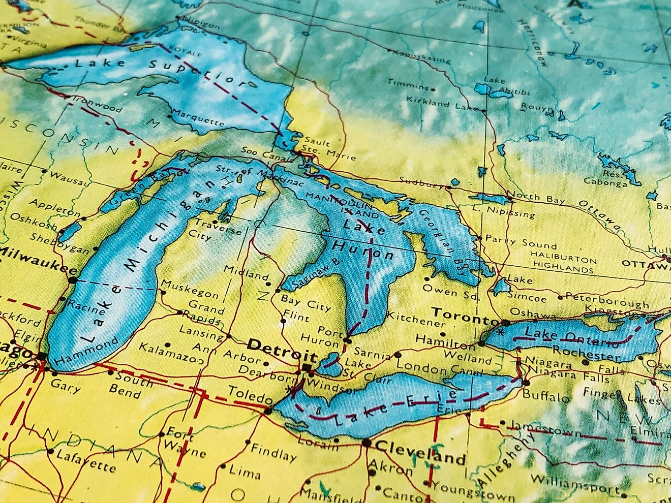
Cataract River, Michigan

-
Length: 1.9 miles
-
Location: Newton Township, Mackinac County, Michigan
-
Source: Mud Lake
-
Flows into: Lake Michigan
The Cataract River is a short yet scenic waterway located in Newton Township, Mackinac County, Michigan's Upper Peninsula. Spanning approximately 1.9 miles, it originates from Mud Lake and flows southward before emptying into Lake Michigan between Point Patterson and Needle Point.
This river’s brief course cuts through dense forest and wetland terrain before reaching Lake Michigan, creating a rare mix of freshwater habitats in such a short distance. Its proximity to Mud Lake and the surrounding marshes supports diverse wildlife, including migratory birds and small fish, making it a compact but ecologically significant waterway in Michigan’s Upper Peninsula.
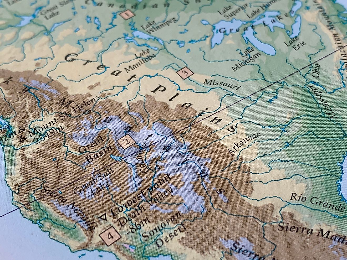
Jordan River, Utah

-
Length: 51 miles
-
Location: Utah County to Davis County, Utah
-
Source: Utah Lake
-
Flows into: Great Salt Lake
The Jordan River is considerably longer than the others on this list, but its shortest recognized distributary, flowing from Utah Lake to the Great Salt Lake, is only about 51 miles, making it one of the shortest full-length rivers connecting two major lakes in the United States.
The Jordan River cuts through lakebed sediments deposited during the Pleistocene epoch, when the massive Lake Bonneville covered much of present-day Utah. Its sediments include layers of silt, clay, and evaporite minerals that record ancient climatic shifts. Today, the river supports a network of wetlands that host migratory birds and fish, making it an important ecological corridor along the Wasatch Front.
Small Rivers, Big Stories
Size isn’t everything when it comes to rivers. The shortest rivers in the United States may not carve canyons or power dams, but they capture the essence of how water shapes the land and how people connect to it.
They remind us that even the smallest waterways can hold immense geological history, sustain ecosystems, and spark curiosity about the world around us. Whether it’s Montana’s record-breaking Roe River or Oregon’s beachside D River, each one proves that great stories often come from the smallest sources.
| River | Length | Location | Source | Flows Into |
|---|---|---|---|---|
| Roe River | 201 feet | Great Falls, Montana | Giant Springs | Missouri River |
| D River | 120-440 feet | Lincoln City, Oregon | Devils Lake | Pacific Ocean |
| Thunder River | 0.5 miles | Grand Canyon National Park, Arizona | Thunder Springs | Tapeats Creek |
| Powell River | 400 feet (shortest Virginia section) | Lee County, Virginia & Claiborne County, Tennessee | Appalachian karst springs | Clinch River |
| Buskin River | 3.5 miles | Kodiak Island, Alaska | Buskin Lake | Saint Paul Harbor (Chiniak Bay) |
| Cataract River | 1.9 miles | Newton Township, Mackinac County, Michigan | Mud Lake | Lake Michigan |
| Jordan River | 51 miles | Utah County to Davis County, Utah | Utah Lake | Great Salt Lake |
.jpg)