The Largest Counties in the United States
County lines rarely spark much curiosity, yet some of them hide truly jaw dropping scale. A handful of US counties stretch so far that crossing them can feel like a road trip all on its own. Deserts give way to mountains, tundra replaces forests, and towns sit hours apart, all within a single county boundary.
These oversized counties tell a different story about how the country developed. Sparse settlement, rugged terrain, and early land decisions allowed borders to balloon across wide open space. The result is a collection of counties larger than entire states, places where geography shapes daily life as much as government does. Exploring them reveals a side of America defined less by population and more by sheer space.
How County Size Is Measured

County size is based on total land area, not population. In many western states and Alaska, counties or county equivalents expanded during periods of low population density. Sparse settlement allowed governments to draw large administrative boundaries that remain in place today.
Several of the largest counties function differently than traditional counties. Alaska uses boroughs and census areas, which serve similar roles but reflect unique governance systems tied to geography and remoteness.
Largest Counties in the United States by Land Area
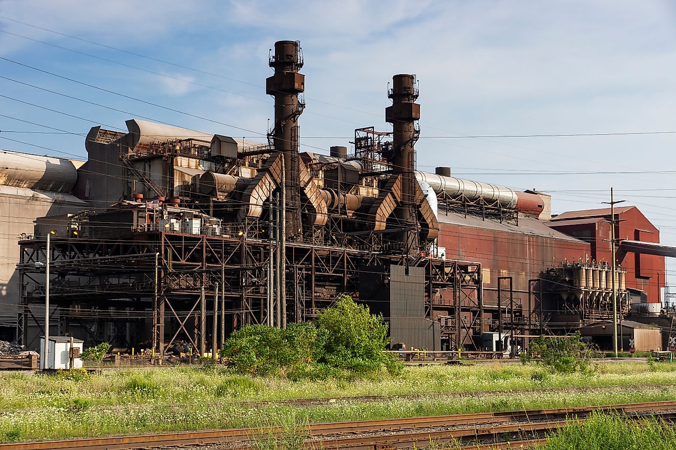
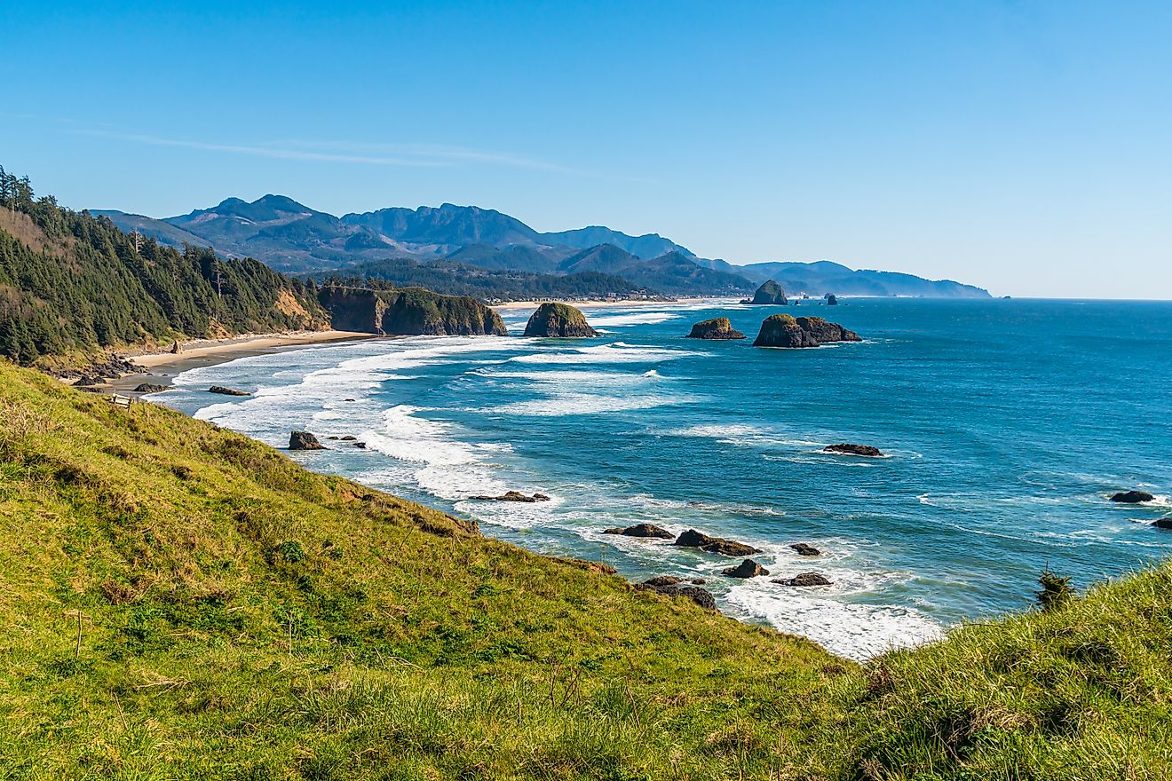
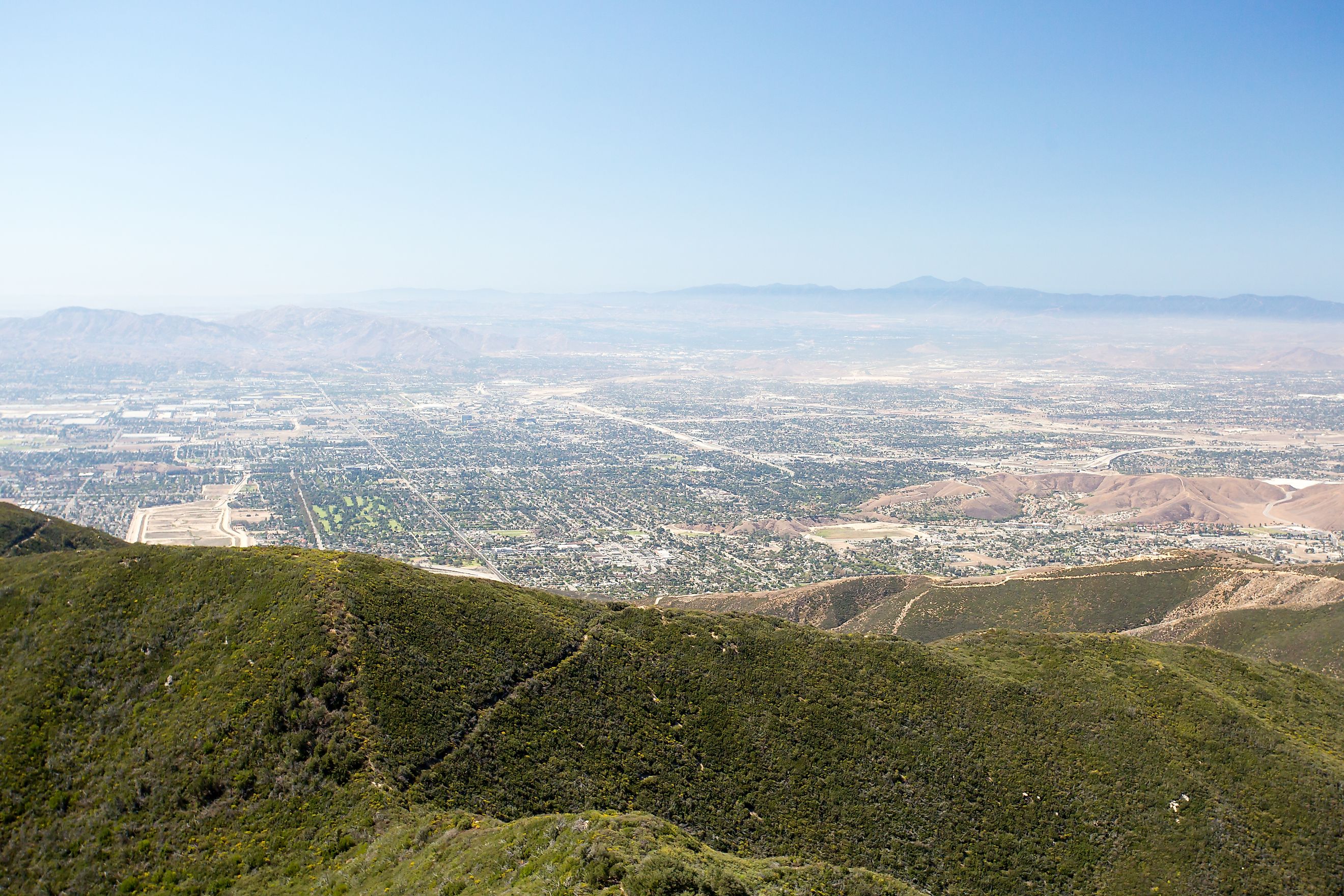
San Bernardino County, California

Land area: About 20,105 square miles
Population: About 2.2 million
San Bernardino County stands as the largest county in the contiguous United States. Its size exceeds that of nine entire US states. The county stretches across Southern California deserts, mountain ranges, and urban corridors, creating one of the most geographically diverse counties in the nation.
The Mojave Desert dominates much of the landscape, featuring places like the Mojave National Preserve. Mountain regions rise sharply, including parts of the San Bernardino and San Gabriel ranges. Urban centers such as San Bernardino, Ontario, and Rancho Cucamonga anchor the population, making this county unusual among large counties for its dense population base.
San Bernardino County also plays a major role in logistics and transportation. Interstate highways, rail corridors, and distribution centers link Southern California ports to the rest of the country.
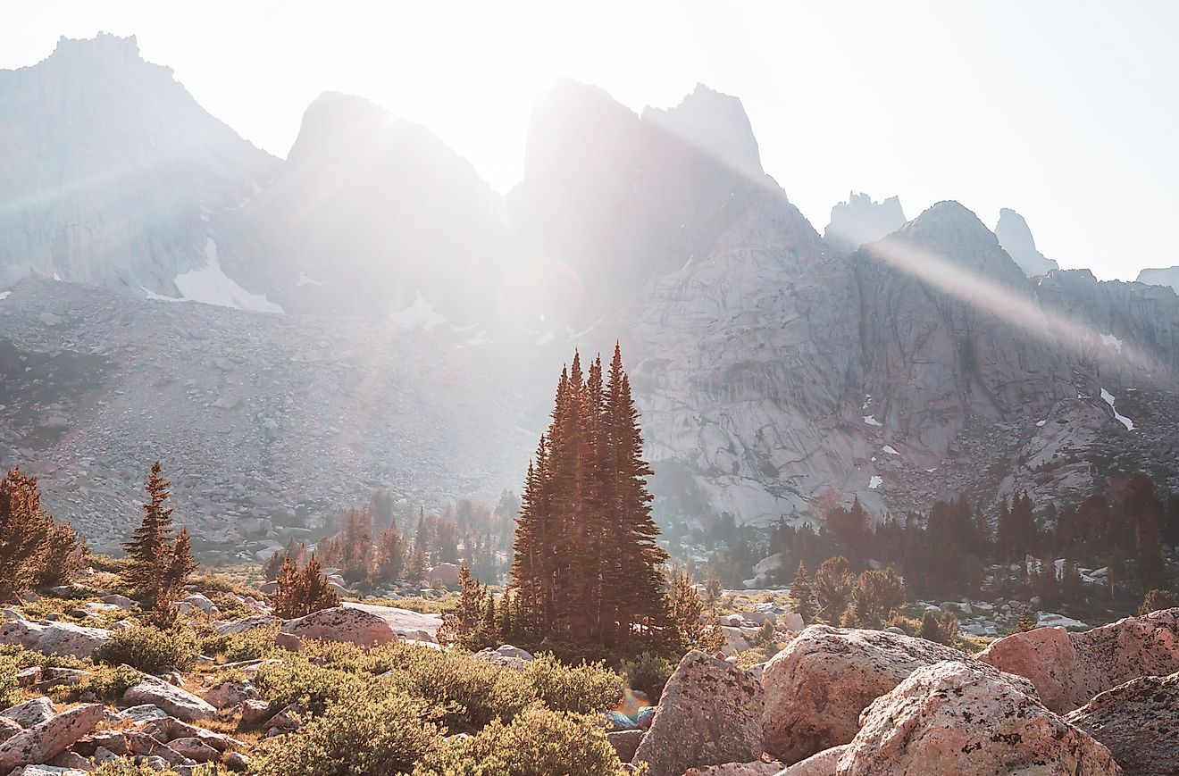
Coconino County, Arizona

Land area: About 18,661 square miles
Population: About 145,000
Coconino County covers nearly a quarter of Arizona’s land area. It is best known as the home of the Grand Canyon, which alone accounts for a massive portion of the county’s footprint.
Elevation defines this region. Desert plateaus sit thousands of feet below alpine forests near Flagstaff, one of the highest elevation cities in the country. Volcanic features, including the San Francisco Peaks, add to the dramatic terrain.
Despite its size, population density remains low. Flagstaff serves as the cultural and economic center, supported by tourism, education, and scientific research tied to astronomy and climate studies.
Nye County, Nevada

Land area: About 18,159 square miles
Population: About 53,000
Nye County ranks as one of the largest counties in the lower 48 states and one of the most sparsely populated. The county spans central Nevada, featuring basin and range landscapes, desert valleys, and rugged mountains.
The county seat, Tonopah, once thrived during mining booms and still reflects Nevada’s frontier history. Large portions of the county fall under federal management, including military test sites and protected land.
Distance defines daily life in Nye County. Travel between communities can take hours, and public services operate across vast geographic gaps. The scale of the county shapes everything from emergency response to infrastructure planning.
Yukon-Koyukuk Census Area, Alaska

Land area: About 145,505 square miles
Population: About 5,300
The Yukon-Koyukuk Census Area dwarfs every county in the lower 48 states. Its land area rivals that of entire countries. This region covers interior Alaska, stretching across forests, rivers, wetlands, and remote wilderness.
No road system connects many communities here. Transportation relies on aircraft, boats, and seasonal ice roads. Rivers serve as lifelines, shaping settlement patterns and subsistence traditions.
Population remains extremely small relative to size. Indigenous communities maintain deep connections to the land, relying on hunting, fishing, and traditional knowledge that adapts to extreme seasonal changes.
North Slope Borough, Alaska

Land area: About 94,796 square miles
Population: About 11,000
The North Slope Borough occupies Alaska’s Arctic coast, stretching across tundra, ice fields, and remote coastal plains. It is one of the coldest and most environmentally sensitive regions in the United States.
Oil development transformed the region during the late 20th century, bringing infrastructure and economic change. Prudhoe Bay remains a central feature of the borough’s economy.
Inupiat communities form the cultural heart of the region. Subsistence practices continue alongside modern development, reflecting a balance between tradition and industry shaped by extreme geography.
Lake and Peninsula Borough, Alaska

Land area: About 23,000 square miles
Population: About 1,600
Lake and Peninsula Borough covers a rugged portion of southwestern Alaska. Volcanic landscapes, lakes, and coastal terrain dominate this region near the Alaska Peninsula.
Fishing drives much of the local economy, supported by salmon runs and rich marine ecosystems. Communities remain small and widely spaced, reinforcing the borough’s low population density.
Weather and isolation influence transportation and infrastructure. Seasonal access and limited road networks shape daily life across the borough.
Mohave County, Arizona

Land area: About 13,461 square miles
Population: About 215,000
Mohave County spans northwestern Arizona, touching Nevada, Utah, and California. The Colorado River forms part of its western boundary, supporting recreation and water access in an otherwise arid region.
Desert valleys dominate much of the county, punctuated by mountain ranges and plateaus. Kingman serves as the county seat and a historic Route 66 hub.
Population growth has increased in recent decades, driven by retirees and remote workers drawn to open land and lower costs compared to larger metro areas.
Elko County, Nevada

Land area: About 17,181 square miles
Population: About 54,000
Elko County covers northeastern Nevada and reflects classic Great Basin geography. Mountain ranges, sagebrush plains, and mining towns define the landscape.
Gold mining anchors the local economy, supported by agriculture and transportation corridors. Elko remains the primary population center, offering services across a wide rural region.
Seasonal weather extremes and long distances between towns reinforce the county’s frontier character.
Largest Counties at a Glance
| County or Borough | State | Land Area (sq mi) | Population |
|---|---|---|---|
| Yukon-Koyukuk Census Area | Alaska | 145,505 | ~5,300 |
| North Slope Borough | Alaska | 94,796 | ~11,000 |
| Lake and Peninsula Borough | Alaska | ~23,000 | ~1,600 |
| San Bernardino County | California | 20,105 | ~2.2 million |
| Coconino County | Arizona | 18,661 | ~145,000 |
| Nye County | Nevada | 18,159 | ~53,000 |
| Elko County | Nevada | 17,181 | ~54,000 |
| Mohave County | Arizona | 13,461 | ~215,000 |
Why These Counties Are So Large

Large county size often reflects settlement history rather than modern needs. Western expansion, limited population, and federal land ownership allowed counties to form with few geographic constraints.
In Alaska, vast distances and harsh climate made smaller administrative units impractical. Census areas and boroughs developed to reflect natural regions rather than dense population centers.
In the Southwest, mining, ranching, and rail routes shaped boundaries that still exist today.
Size Versus Population Reality

Large counties face unique challenges. Infrastructure maintenance stretches budgets thin. Emergency services cover enormous distances. Political representation often balances rural concerns against growing population centers.
At the same time, these counties protect some of the most significant natural landscapes in the United States. Deserts, tundra, mountain ranges, and river systems thrive within these boundaries, shaping conservation policy and land management strategies.
A Different Way to Understand the Map
The largest counties in the United States reveal a side of American geography defined by space, scale, and adaptation. These jurisdictions highlight how land, climate, and history influence governance and daily life.
San Bernardino County blends massive land area with urban density. Alaska’s boroughs redefine what a county can be. Desert counties across Nevada and Arizona reflect frontier legacies that remain visible today.
Understanding these enormous counties offers a clearer view of how geography continues to shape the nation long after the lines were drawn.