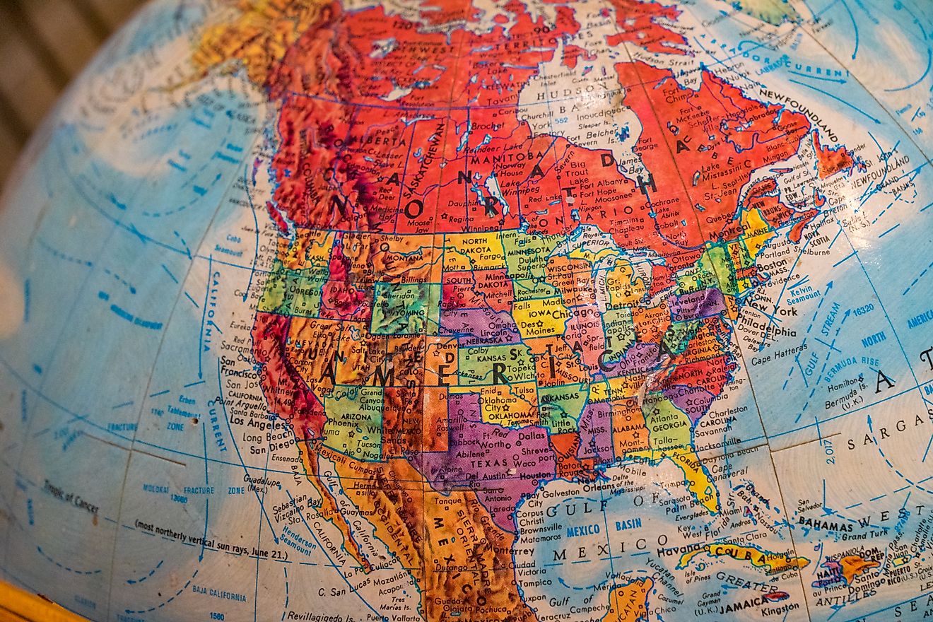
The 9 US States With Panhandles
From the jagged coastlines of Florida to the windswept plains of Oklahoma, the United States is home to some unusual geographic quirks. Among the most interesting are panhandles. These narrow strips of land stretch out from the main body of a state, often bordered by other states or bodies of water. These thin extensions may look small on a map, but they carry big historical, cultural, and economic significance.
So, what exactly is a panhandle? In simple terms, it is a long, narrow protrusion of a state that is connected to the main section by a smaller width of land. While not every oddly shaped part of a state qualifies, nine states in the US are widely recognized for having true panhandles.
Explore each one: where it is, why it exists, and what makes it worth visiting.
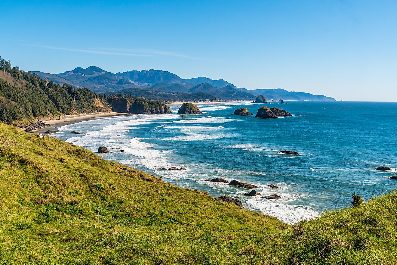
Florida Panhandle

-
Location: Northwestern Florida, along the Gulf of America
-
Length: About 200 miles east to west
-
Major Cities: Pensacola, Panama City, Tallahassee
Florida’s panhandle is a sun-soaked stretch along the Gulf Coast that feels distinct from the rest of the state. While South Florida is known for tropical vibes and bustling cities, the panhandle has a slower pace, long white-sand beaches, and deep southern charm.
Historically, this region’s shape is the result of colonial boundaries between Spanish Florida and neighboring territories. Today, it is a magnet for travelers who want the beauty of the Emerald Coast without the crowds of Miami. Highlights include Gulf Islands National Seashore, the historic district of Pensacola, and the lively college town of Tallahassee.
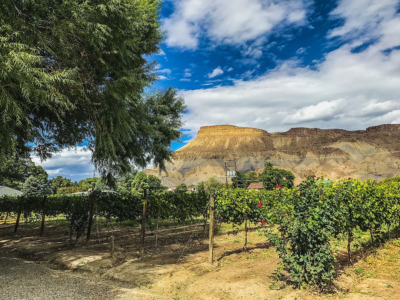
Texas Panhandle

-
Location: Northern Texas, bordered by Oklahoma and New Mexico
-
Length: About 160 miles north to south
-
Major Cities: Amarillo, Canyon
The Texas Panhandle is a high plains region that feels worlds away from the big cities of Dallas and Houston. Its rectangular shape came from the Compromise of 1850, when Texas gave up claims to land in exchange for settling its borders.
Travelers here can explore Palo Duro Canyon, the second largest canyon in the US, or stop in Amarillo to see the quirky Cadillac Ranch art installation. The area’s wide-open landscapes, Route 66 history, and cowboy culture give it a rugged appeal that is uniquely Texan.
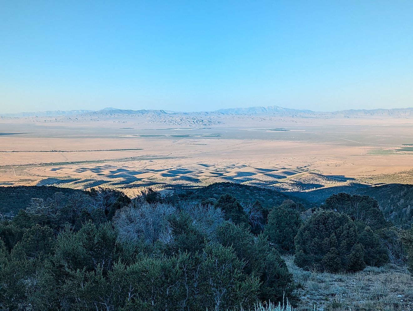
Oklahoma Panhandle

-
Location: Northwestern Oklahoma, bordered by Texas, New Mexico, and Colorado
-
Length: About 166 miles east to west
-
Major Towns: Guymon, Boise City
The Oklahoma Panhandle is a narrow strip of land known as “No Man’s Land” in the 19th century because it was once unclaimed by any state or territory. It became part of Oklahoma in 1890 and remains one of the least populated regions in the state.
It may be remote, but this region offers stark beauty and history. Visitors can see dinosaur tracks at Black Mesa State Park, which also boasts the highest point in Oklahoma. The sunsets here stretch endlessly over the plains, and the starry skies are among the clearest in the country.
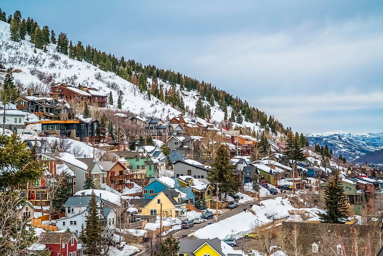
Idaho Panhandle

-
Location: Northern Idaho, between Washington and Montana
-
Length: About 70 miles at its widest point
-
Major Cities: Coeur d’Alene, Sandpoint
Idaho’s panhandle is a mountainous, lake-filled paradise. Its unusual shape comes from the way state boundaries were drawn during the westward expansion, with Washington and Montana squeezing Idaho into a slender top.
Outdoor enthusiasts flock here for boating on Lake Coeur d’Alene, skiing in Schweitzer Mountain Resort, and hiking in the Selkirk and Cabinet Mountains. The scenic beauty makes it one of the most photographed parts of Idaho, and its proximity to Canada adds an international twist.
West Virginia Panhandles

-
Location: Eastern and Northern tips of West Virginia
-
Lengths: Eastern Panhandle is about 80 miles; Northern Panhandle is about 70 miles
-
Major Cities: Martinsburg, Wheeling, Harpers Ferry
West Virginia has not one but two panhandles. The Eastern Panhandle hugs Maryland and Virginia, placing it close to Washington, D.C. Its rich Civil War history is showcased in Harpers Ferry, where the Potomac and Shenandoah rivers meet.
The Northern Panhandle is squeezed between Ohio and Pennsylvania along the Ohio River. Wheeling, once the state’s capital, has a charming downtown and historic suspension bridge. Both regions highlight West Virginia’s mix of history, river scenery, and Appalachian culture.
Nebraska Panhandle

-
Location: Western Nebraska, bordering Wyoming, South Dakota, and Colorado
-
Length: About 100 miles east to west
-
Major Cities: Scottsbluff, Alliance
The Nebraska Panhandle feels more like the American West than the Midwest, with its rugged bluffs, wide plains, and historic trails. This region became part of Nebraska when the state lines were drawn in 1867, giving the state its distinctive rectangular extension. Visitors can explore Scotts Bluff National Monument, a towering formation that served as a crucial landmark for pioneers on the Oregon Trail.
Nearby, Chimney Rock rises dramatically from the prairie, a natural spire that remains one of Nebraska’s most recognized symbols. The area’s open landscapes, sparse population, and historic sites offer a unique glimpse into the frontier past.
Maryland Panhandle

-
Location: Western Maryland, between Pennsylvania and West Virginia
-
Length: Narrowest point is less than 2 miles wide
-
Major Cities: Cumberland, Hagerstown
Maryland’s panhandle is the narrowest in the nation, shaped by colonial boundary agreements between Pennsylvania, Virginia, and Maryland. In some areas, this strip of land is barely two miles wide as it winds through the Appalachian Mountains. The historic National Road passes through, connecting small towns rich in history.
Civil War events left a lasting mark here, especially at Antietam National Battlefield, the site of the war’s most intense single day. Visitors can hike a section of the Appalachian Trail, bike the C&O Canal Towpath, or take in expansive views from mountain overlooks that showcase the area’s rugged natural beauty.
Alaska Panhandle

-
Location: Southeastern Alaska, along the Pacific Coast
-
Length: About 500 miles north to south
-
Major Cities: Juneau, Ketchikan, Sitka
Alaska’s panhandle is a long coastal strip of rainforest, fjords, and islands, vastly different from the state’s interior. It is home to the capital city of Juneau, which is only accessible by boat or plane. The region is part of the Inside Passage, a renowned route for cruise ships traveling between Washington and Alaska.
Visitors can spot humpback whales, watch bald eagles soar over the water, walk among towering totem poles in Native villages, and explore Glacier Bay National Park’s massive tidewater glaciers. Its remote setting, diverse wildlife, and deep cultural heritage make it one of the most distinctive panhandles in the United States.
Connecticut Panhandle

-
Location: Southwestern Connecticut, bordering New York
-
Length: About 15 miles into New York State
-
Major Cities: Greenwich, Stamford
The Connecticut Panhandle extends into New York due to colonial-era land swaps made in the 1600s. Connecticut gave up claims to the town of Rye, New York, and in return gained this narrow strip of land jutting westward.
Today, the panhandle is one of the wealthiest parts of the United States, known for its upscale towns like Greenwich and Stamford. The area features beautiful coastal parks and offers quick access to Manhattan. Along its Long Island Sound shoreline, visitors enjoy sailing, beaches, and scenic views that highlight the region’s charm and affluence.
Traveling Through America’s Panhandles

Panhandles exist because early boundary decisions balanced politics, geography, and natural barriers like rivers and mountains. These quirks in state lines are the result of compromises made long ago, giving maps unique shapes and character.
Exploring America’s panhandles lets travelers experience the country’s diverse stories firsthand. From Florida’s relaxed beaches to Alaska’s rugged wilderness, each panhandle reveals a distinct part of the nation’s history and culture. Visiting these narrow stretches offers a fascinating glimpse into how geography and human choices shape the places we call home.
FAQ: US States With Panhandles
How many US states have panhandles?
Nine states are commonly recognized as having panhandles: Florida, Texas, Oklahoma, Idaho, West Virginia, Nebraska, Maryland, Alaska, and Connecticut.
Why do some states have panhandles?
They are usually the result of historical treaties, boundary disputes, or natural geographic features that influenced state borders.
Which panhandle is the largest?
The Alaska Panhandle is the largest by far, stretching about 500 miles along the Pacific Coast.
Which panhandle is the smallest?
Connecticut’s southwestern panhandle is the smallest, extending only about 15 miles.
Are all panhandles narrow?
Most are relatively narrow compared to the rest of the state, but their width can vary greatly depending on geography.