8 Major US Rivers That Flow North
Not all rivers follow the rules. Or at least, not the ones we think they should.
Ask most people which direction rivers flow, and you'll likely hear "south." It's one of the most common geography myths in the United States. But rivers don’t care about compass directions. They flow downhill, from higher to lower elevation, and if the land slopes north, that’s exactly where the water goes.
From glacial plains to mountain valleys, the US is home to several major rivers that flow north, carving out landscapes, powering cities, and even crossing international borders along the way. Some move with glacial precision through flat terrain, while others cut through rugged ridges or past industrial towns built along their banks.
These rivers challenge conventional wisdom and showcase the surprising complexity of American geography. Whether naturally flowing or reshaped by engineering, they remind us that nature rarely sticks to the script.
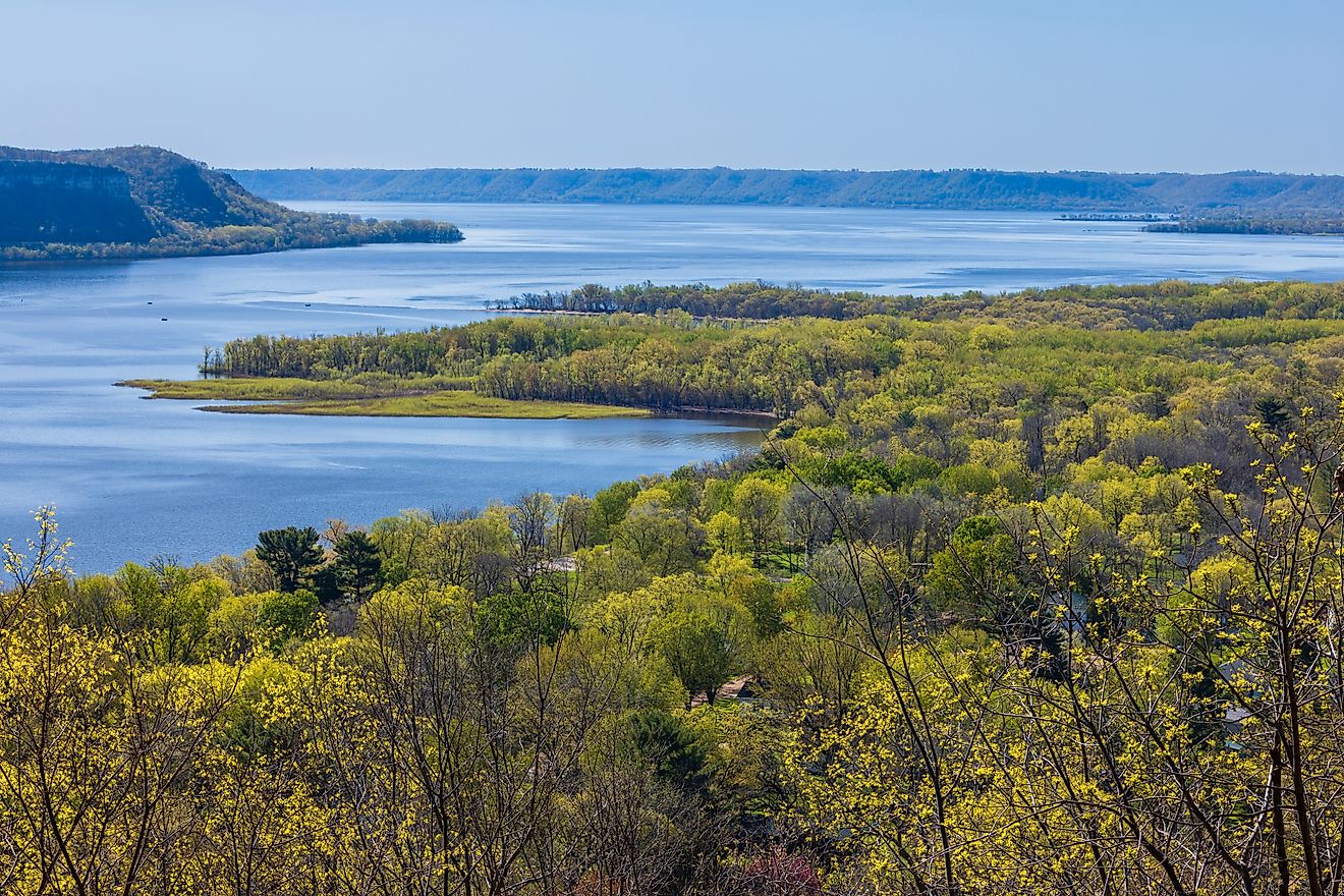
The Red River of the North

Flows: North for 550 miles into Lake Winnipeg, Canada
States: North Dakota, Minnesota
One of the most well-known north-flowing rivers in the United States, the Red River of the North forms the natural border between North Dakota and Minnesota before crossing into Manitoba, Canada.
It begins at the confluence of the Bois de Sioux and Otter Tail Rivers in Wahpeton, North Dakota. From there, it flows northward for nearly 550 miles before emptying into Lake Winnipeg.
The Red River of the North is notorious for its spring floods. Because the river flows northward into still-frozen terrain during snowmelt, ice jams and flooding are a recurring problem. The city of Fargo, along its banks, is no stranger to high-water emergencies.
This river is a reminder that elevation, not compass direction, determines flow. In this case, the Red River flows gently downhill into the lower-lying Canadian basin.
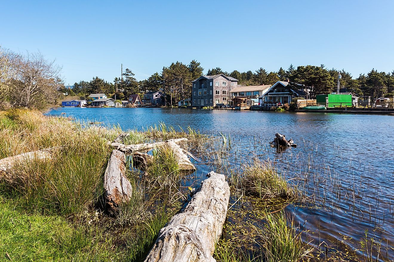
The St. Johns River

Flows: North for 310 miles into the Atlantic Ocean
State: Florida
Florida's longest river is also one of its most curious. The St. Johns River begins in the marshes of Indian River County and flows north for 310 miles before emptying into the Atlantic Ocean near Jacksonville.
What makes the St. Johns River so unusual is its incredibly slow gradient. The river drops only about 30 feet in elevation from source to mouth, which is why it appears almost stagnant in certain places. That low elevation also makes it prone to flooding during hurricanes and heavy storms.
The St. Johns is an essential waterway for wildlife, commerce, and recreation. It winds past historic towns and cities and has long been a vital artery in the heart of Florida. Today, it supports fishing, boating, and ecosystems found nowhere else in the US.
The Fox River

Flows: North for 39 miles from Lake Winnebago to Green Bay
State: Wisconsin
The Fox River in Wisconsin is divided into two parts, but it’s the northern stretch that draws the most interest. Flowing north from Lake Winnebago into Green Bay, this segment of the Fox River is vital to the state’s industrial and environmental identity.
Historically, the river was a key route for Native American tribes and French fur traders navigating between the Great Lakes and the Mississippi River basin. In the 19th century, it powered paper mills and manufacturing plants, fueling the economy of cities like Appleton and Green Bay.
Efforts are ongoing to clean and restore this river due to decades of industrial pollution. As a north-flowing Great Lakes tributary, the Fox River plays a critical role in connecting central Wisconsin with Lake Michigan.
The Monongahela River

Flows: North for 130 miles into the Ohio River
States: West Virginia, Pennsylvania
Often called the "Mon" by locals, the Monongahela River is one of the few in the United States that flows consistently northward. It begins in north-central West Virginia, where the West Fork and Tygart Valley rivers merge in Fairmont, and it flows north to Pittsburgh, Pennsylvania.
At Pittsburgh, the Monongahela meets the Allegheny River to form the Ohio River. This confluence has made the city a strategic transportation and industrial hub since the 18th century.
The river runs through the Appalachian Plateau and has been critical in the coal and steel industries. Today, it remains a commercial waterway but is also popular for recreational boating and fishing.
The Monongahela’s steady northward path through steep valleys and rolling hills illustrates how rivers often follow ancient geologic features, not modern expectations.
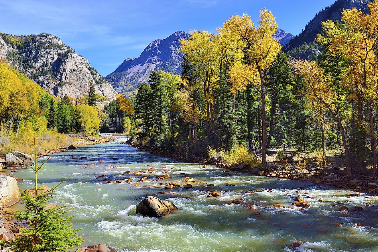
The Genesee River

Flows: North for 160 miles into Lake Ontario
State: New York
The Genesee River starts in northern Pennsylvania but flows almost entirely through western New York, cutting north through the city of Rochester before emptying into Lake Ontario.
It travels about 160 miles in total and is famous for its dramatic waterfalls, especially within Letchworth State Park. The park is often called the "Grand Canyon of the East" and showcases how the river has carved a deep gorge through layers of shale and limestone.
Rochester was built on the Genesee's hydropower, and the river played a central role in the region’s industrial development during the 19th century. Today, efforts are focused on water quality, fish habitat, and improving public access to the riverfront.
Its northward path is geologically tied to glacial movements that shaped the landscape during the last Ice Age.
The Willamette River

Flows: North for 187 miles into the Columbia River
State: Oregon
The Willamette River flows north through Oregon’s Willamette Valley, one of the most fertile agricultural regions in the country. Originating in the Cascade Mountains, the river flows for approximately 187 miles before merging with the Columbia River near Portland.
The Willamette is an essential part of Oregon’s landscape and economy. It irrigates farmland, supports salmon runs, and supplies drinking water for much of the state’s population. Cities like Eugene, Salem, and Portland all lie along its banks.
Historically, the river powered sawmills and textile factories. In recent decades, the Willamette has seen major environmental recovery efforts, transforming it into a cleaner, more accessible waterway for recreation and wildlife.
It flows north due to the layout of the Cascade and Coast Ranges, directing its course into the larger Columbia River system.
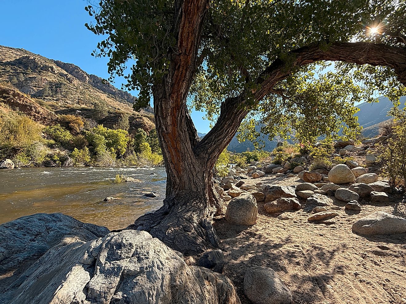
The Deschutes River

Flows: North for 252 miles into the Columbia River
State: Oregon
Another north-flowing river in Oregon, the Deschutes River is a major tributary of the Columbia River. It flows from the high desert region near Bend northward for about 250 miles.
Historically, the Deschutes was a critical part of Native American trade and later, the Oregon Trail. Today, it is a popular destination for whitewater rafting, fly fishing, and camping.
The river’s northward flow is shaped by the volcanic topography of central Oregon. Its canyon walls and basalt cliffs were formed by lava flows and later sculpted by erosion. In some places, the river cuts through layers of ancient volcanic ash and pumice.
As it winds toward the Columbia, the Deschutes showcases how geologic activity (not compass direction) determines a river’s course.
The Chicago River (Main Branch and North Shore Channel)

Flows: Northward for approximately 8 miles (artificially reversed)
State: Illinois
This one is a bit of a twist. The Chicago River famously had its flow reversed in the early 20th century. Originally, the river flowed into Lake Michigan. But due to growing concerns over waterborne diseases, the city re-engineered it to flow away from the lake, effectively sending wastewater toward the Mississippi River Basin.
Today, the North Branch of the Chicago River flows south, but the Main Stem and parts of the North Shore Channel still follow a northward path for sections of their course before connecting to the Sanitary and Ship Canal.
While its northward flow is partly artificial, the Chicago River deserves mention due to the scale of engineering involved and its impact on American urban water systems.
The river is also a major part of Chicago's identity. It’s dyed green every St. Patrick’s Day and runs through the heart of the city’s architectural corridor, making it both a geographic and cultural landmark.
Not All Roads and Rivers Lead South

From the wild stretches of the Red River in the Northern Plains to the slow-moving waters of Florida’s St. Johns River, the United States is home to a surprising number of north-flowing rivers. Some are ancient pathways shaped by glaciers and mountains, while others have been redirected by human intervention.
These rivers prove that geography is more nuanced than common assumptions. Each one plays a vital role in shaping the ecosystems, economies, and cultures of the regions they pass through.
So next time you look at a map and see a river flowing north, remember, it’s not unusual. It’s just following the land.
Major US Rivers That Flow North
| River Name | States | Flows North For | Flows Into |
|---|---|---|---|
| Red River of the North | North Dakota, Minnesota | 550 miles | Lake Winnipeg (Canada) |
| St. Johns River | Florida | 310 miles | Atlantic Ocean |
| Fox River (WI) | Wisconsin | 39 miles | Green Bay (Lake Michigan) |
| Monongahela River | WV, PA | 130 miles | Ohio River |
| Genesee River | PA, NY | 160 miles | Lake Ontario |
| Willamette River | Oregon | 187 miles | Columbia River |
| Deschutes River | Oregon | 252 miles | Columbia River |
| Chicago River (Main) | Illinois | ~8 miles (artificial) | Sanitary & Ship Canal |