The Most Extreme Points of the United States
The United States stretches across a vast range of latitudes, longitudes, and elevations, making it one of the most geographically diverse nations in the world. From frozen Arctic coastlines to tropical islands, from desert basins below sea level to mountain summits high in the clouds, America’s extremes tell the story of a country defined by both natural wonder and human history.
Geographers call these places “extrema”: the northernmost, southernmost, easternmost, and westernmost points of land. They also include the highest and lowest elevations. Each extreme point helps define the edges of the nation, whether within the contiguous 48 states, across all 50 states, or throughout the full sweep of US territories.
This journey takes us to windswept islands in Alaska, tropical reefs in American Samoa, sun-drenched cliffs in Hawaii, and the vast desert floor of Death Valley. Along the way, explore why some points are contested, how datelines and meridians complicate definitions, and what you can experience at these remote and remarkable places.
Extreme Points of the Contiguous 48 States

Northernmost: Northwest Angle, Minnesota
-
Coordinates: 49.38407° N, 95.15274° W
The Northwest Angle, known simply as “the Angle,” is the northernmost spot in the lower 48. This small slice of Minnesota juts into Canada due to a surveying error during the 1783 Treaty of Paris. Accessible only by boat across Lake of the Woods or by driving through Canada, the Angle feels like an outpost.
A few hundred people live here, many relying on fishing, hunting, and tourism. For travelers, it offers a rare chance to visit a US community almost cut off from the rest of the country.
Southernmost: Cape Sable and Ballast Key, Florida
-
Cape Sable: 25.11567° N, 81.08579° W southernmost point on the mainland
-
Ballast Key: 24.52° N, 81.965° W southernmost land permanently above the waterline
Key West famously bills itself as the southernmost city in the continental US, but technically Cape Sable and Ballast Key hold the distinction. Cape Sable lies at the tip of Everglades National Park, an isolated area of marshes, mangroves, and wildlife. Ballast Key, a privately owned island south of Key West, is the southernmost actual landmass that never dips underwater.
Both sites emphasize Florida’s role as the true southern edge of the contiguous US.
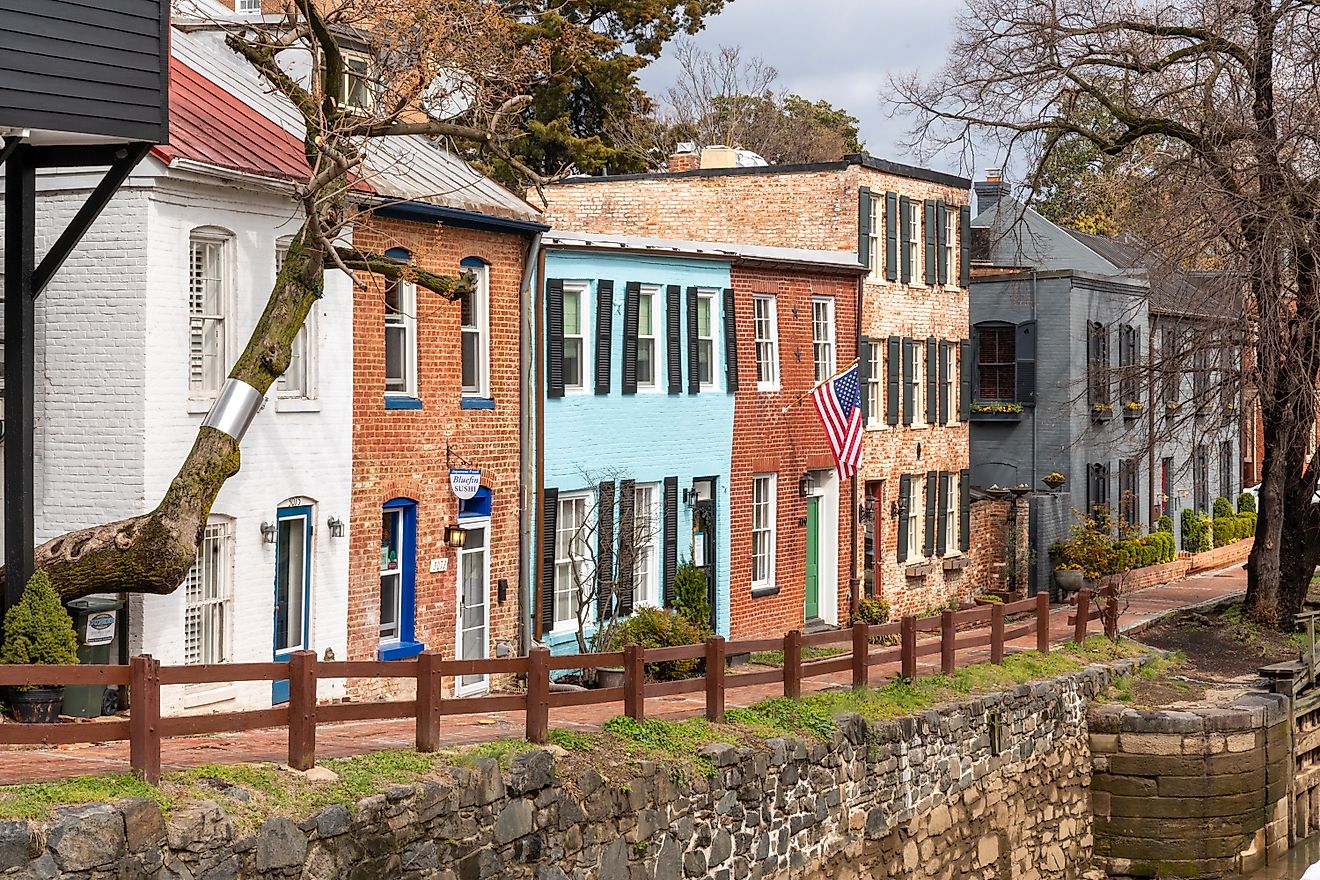
Easternmost: West Quoddy Head, Maine
-
Coordinates: 44.81335° N, 66.94975° W
West Quoddy Head, marked by its iconic red-and-white striped lighthouse, is the first place in the continental US to see the sunrise. It sits near Lubec, Maine, overlooking the Bay of Fundy. Just offshore lies Sail Rock, which occasionally dips below the waterline, leaving the headland itself as the permanent easternmost point.
Visitors come for the lighthouse, dramatic cliffs, seabird sightings, and coastal hiking trails.
Westernmost: Cape Alava and the Bodelteh Islands, Washington

-
Cape Alava: 48.16974° N, 124.73004° W westernmost mainland point
-
Bodelteh Islands: 48.17761° N, 124.76479° W westernmost land permanently above the waterline
Cape Alava, in Olympic National Park, is a wild stretch of coastline reached by hiking through dense rainforest. Offshore, the Bodelteh Islands extend slightly farther west. Together they form the nation’s western frontier in the lower 48.
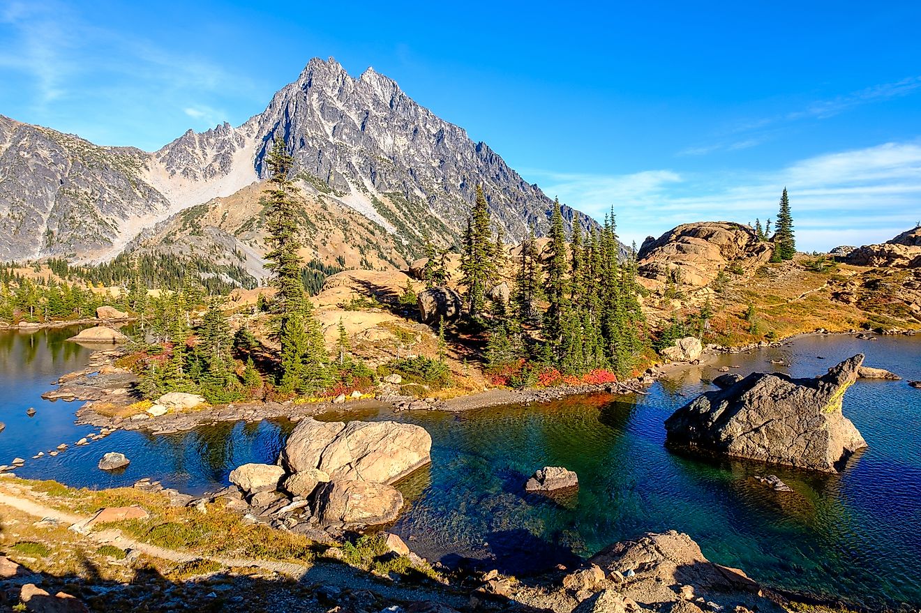
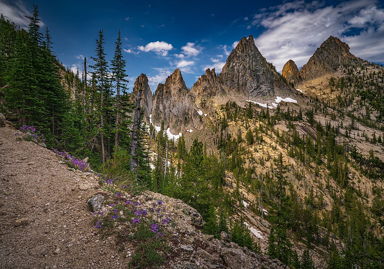
Highest: Mount Whitney, California
-
Elevation: 14,505 feet
Mount Whitney, in California’s Sierra Nevada, is the tallest peak in the contiguous US. Its granite summit rises above the Inyo National Forest and Sequoia National Park. Each year thousands of hikers attempt the climb, making Whitney one of the most accessible “extreme” destinations for adventurers.
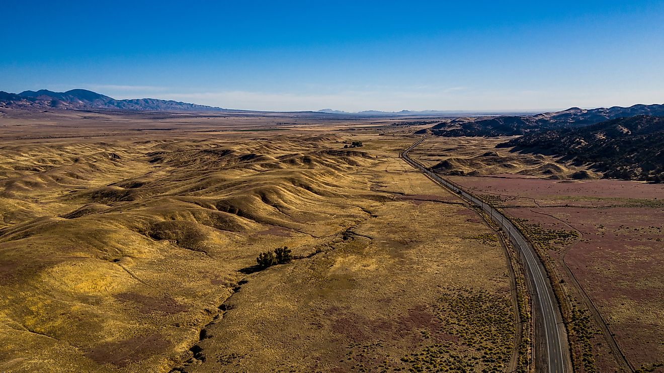
Lowest: Badwater Basin, Death Valley, California
-
Elevation: -282 feet below sea level
The stark salt flats of Badwater Basin hold the title of lowest point in North America. Summer temperatures often soar above 120 degrees Fahrenheit, making this one of the hottest places on Earth. A sign on the cliff face shows where sea level would be, giving visitors a striking sense of just how low the basin truly lies.
Extreme Points of All 50 States

Northernmost: Point Barrow, Alaska
-
Coordinates: 71.39040° N, 156.47741° W
Point Barrow, or Utqiaġvik, is the farthest north that US soil reaches. The region belongs to the Iñupiat people, who have thrived here for generations. The Arctic climate delivers polar night in winter and midnight sun in summer, making it one of the most extreme human environments on the planet.
Southernmost: Ka Lae, Hawaii
-
Coordinates: 18.91023° N, 155.67927° W
Ka Lae, also called South Point, is the southernmost point of the 50 states. With rugged cliffs overlooking turquoise waters, it is believed to be one of the first landing sites of Polynesian voyagers to Hawaii.
Easternmost: West Quoddy Head, Maine

Though the US stretches into the Pacific with Alaska and Hawaii, the easternmost point of all 50 states is still West Quoddy Head.
Westernmost: Cape Prince of Wales and Peaked Island, Alaska
-
Cape Prince of Wales: 65.64° N, 168.12° W westernmost point on the North American continent
-
Peaked Island (near Cape Wrangell, Attu Island): 52.92° N, 172.44° E westernmost US territory
Alaska extends beyond the 180th meridian, placing parts of the Aleutian Islands technically in the Eastern Hemisphere. This creates debate about “easternmost” versus “westernmost.” Geographers generally agree that Peaked Island in the Aleutians represents the farthest west.
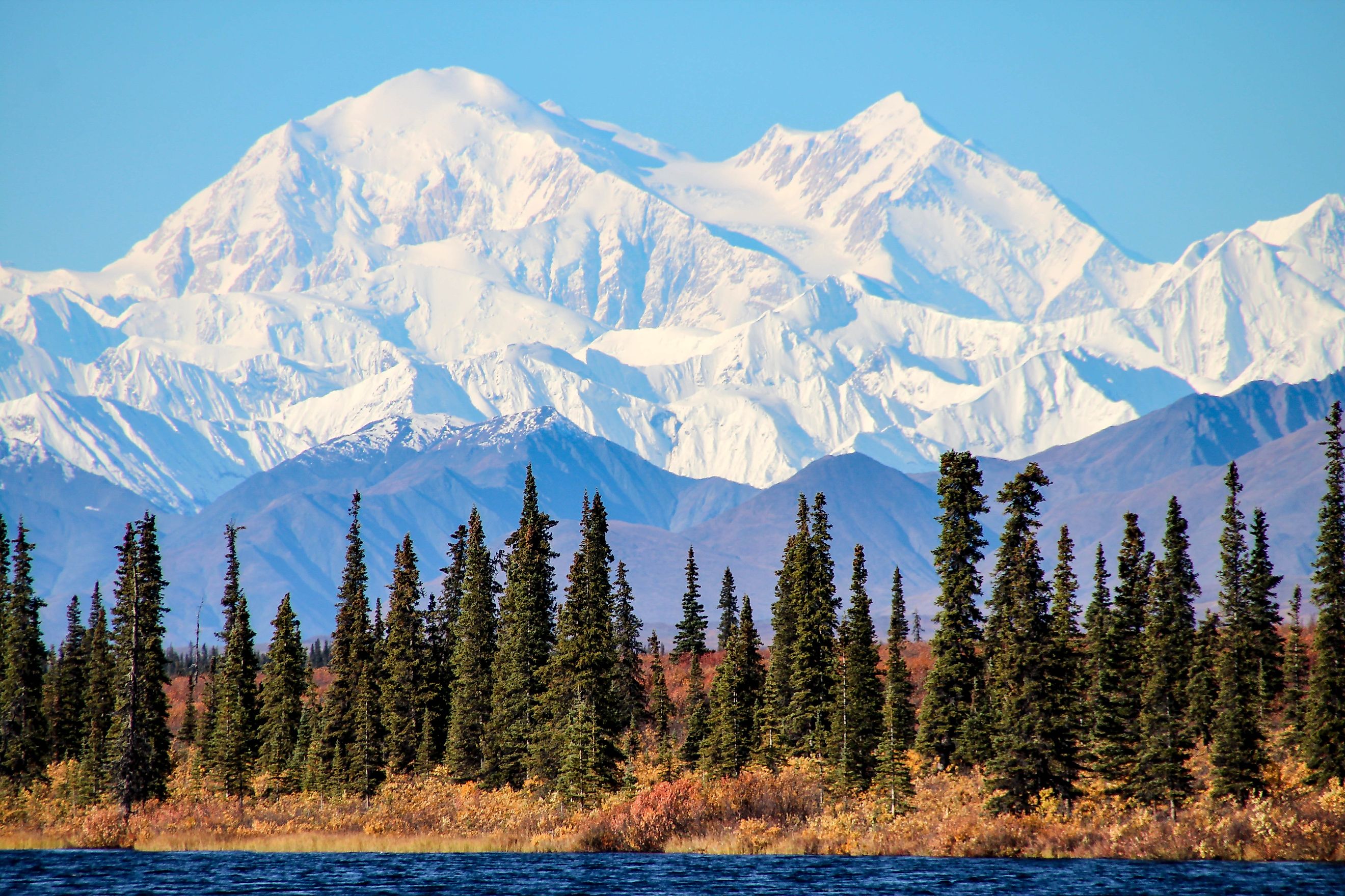
Highest: Denali (Mount McKinley), Alaska
-
Elevation: 20,320 feet
Denali towers above Alaska as the highest mountain in North America. Known by its Koyukon Athabascans name, Denali, meaning “The High One,” the peak dominates Denali National Park and draws climbers from around the world.
Lowest: Badwater Basin, Death Valley, California
Even when all 50 states are considered, Badwater Basin retains the title of the lowest elevation in the country.
Extreme Points of All US Territories

Northernmost: Point Barrow, Alaska
Since Alaska is part of the 50 states, it also represents the northernmost point of all US lands, including territories.
Southernmost: Rose Atoll, American Samoa
-
Coordinates: 14.374° S, 170.7595° W
Rose Atoll, part of American Samoa, extends the United States into the Southern Hemisphere. This uninhabited atoll is a protected marine sanctuary known for its coral reefs and seabird populations.
Easternmost: Point Udall, St. Croix, US Virgin Islands
-
Coordinates: 17.7555° N, 64.5650° W
Point Udall marks the easternmost edge of US territory. A sundial monument here symbolizes the first sunrise in the nation each day.
Westernmost: Point Udall, Guam
-
Coordinates: 13.4475° N, 144.6182° E
Remarkably, the US features two “Point Udalls,” one in the Virgin Islands and one in Guam, making for a poetic geographic bookend. The Guam location represents the farthest west that US territory reaches.
Highest: Denali, Alaska
At 20,320 feet, Denali is not just the highest point in the United States but also the tallest mountain in North America.
Lowest: Badwater Basin, California
The salt flats of Death Valley hold onto their record even when all territories are factored in.
Why These Extremes Matter

Extreme points are more than just dots on a map. They highlight the diversity of American geography, stretching from Arctic ice to tropical atolls, from volcanic summits to desert basins. They also reveal quirks of history, such as the treaty error that created the Northwest Angle and the geopolitical complications of the Aleutian Islands crossing the 180th meridian.
For travelers, many of these spots are destinations worth the journey. You can stand on the cliffs of Ka Lae, hike to Cape Alava, or watch the sunrise at West Quoddy Head. Others, like Rose Atoll or Peaked Island, remain far out of reach, serving as symbolic reminders of the nation’s farthest boundaries.
A Nation Defined by Its Edges
The United States is a land of striking extremes. From the frozen north of Alaska to the tropical reefs of American Samoa, the country stretches across climates and landscapes few nations can match. Its highest point, Denali, towers above the clouds, while Death Valley sinks far below sea level. Some of these edges, like Maine’s eastern cliffs or Florida’s southern keys, are within reach of travelers. Others remain rugged and remote, known mostly to explorers. Together, these farthest horizons reveal a nation defined not only by its cities and borders but also by its outermost wild frontiers.
Quick Facts Chart: The Extreme Points of the United States
| Category | Contiguous 48 States | 50 States | All U.S. Territories |
|---|---|---|---|
| Northernmost | Northwest Angle, Minnesota | Point Barrow, Alaska | Point Barrow, Alaska |
| Southernmost | Cape Sable / Ballast Key, Florida | Ka Lae, Hawaii | Rose Atoll, American Samoa |
| Easternmost | West Quoddy Head, Maine | West Quoddy Head, Maine | Point Udall, St. Croix, US Virgin Islands |
| Westernmost | Cape Alava / Bodelteh Islands, WA | Peaked Island, Alaska (Attu Island) | Point Udall, Guam |
| Highest | Mount Whitney, California | Denali, Alaska | Denali, Alaska |
| Lowest | Badwater Basin, California | Badwater Basin, California | Badwater Basin, California |