The Smallest Mountain Ranges in America
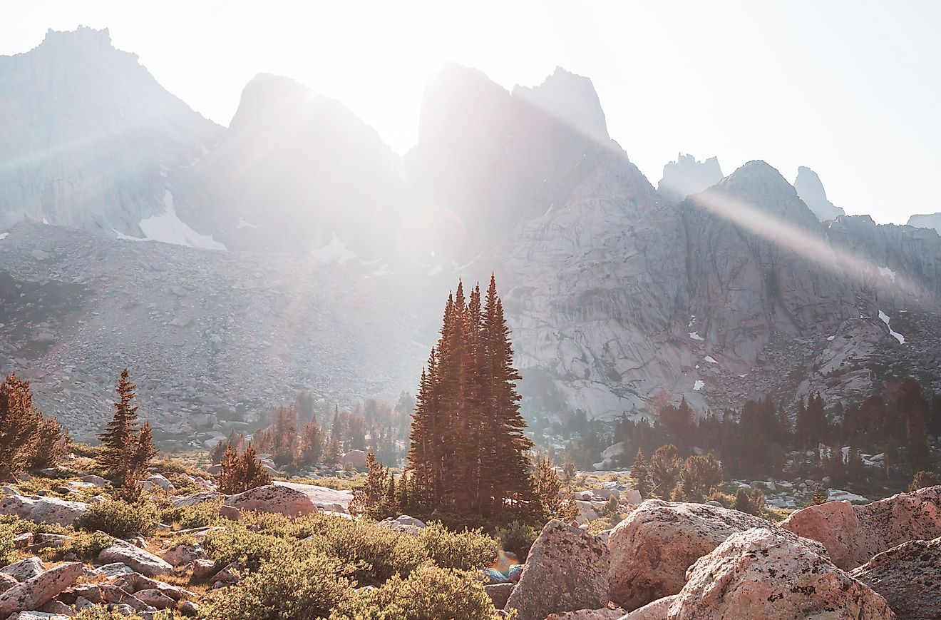
Towering mountain ranges often capture the spotlight, stretching across multiple states and dominating skylines. Yet scattered across the United States are much smaller, lesser-known ranges—compact in size but rich in geological history, ecological diversity, and visual impact.
These small mountain ranges rise unexpectedly from plains, deserts, and forests, offering a stark contrast to their surroundings. Some are remnants of ancient volcanic activity, others strongholds of historical significance. Despite their modest dimensions, they present unique landscapes, rare habitats, and remarkable solitude rarely found in more expansive ranges.
Explores five of the smallest mountain ranges in America—examining their geological makeup, natural features, and what sets them apart from their larger counterparts. Hidden in plain sight, each range reveals that in the world of mountains, size isn’t everything.
Sutter Buttes – California

Length: ~10 miles wide
Elevation: 2,122 feet (at the summit of South Butte)
Location: Sutter County, Central California
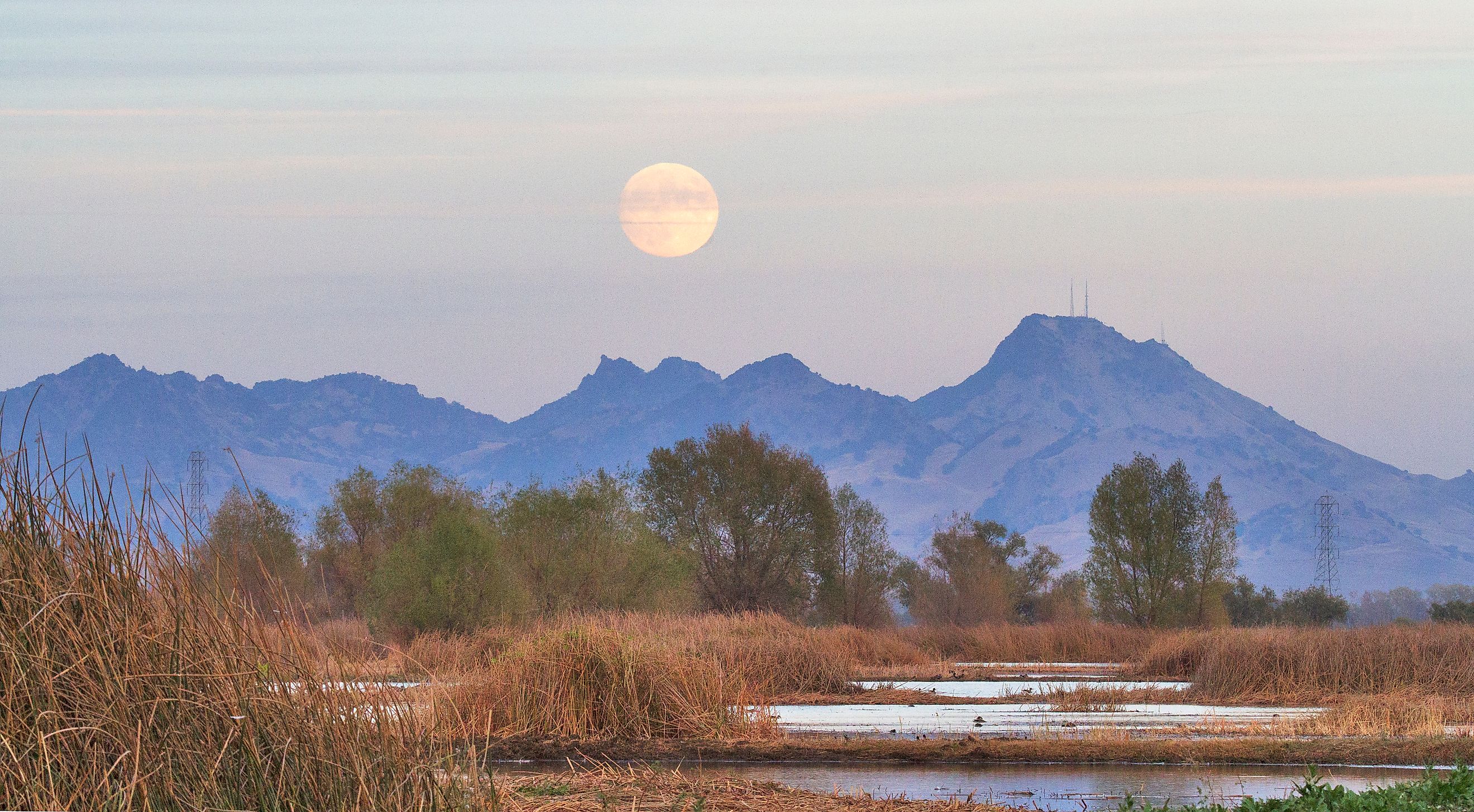
Known as the “world’s smallest mountain range,” the Sutter Buttes rise unexpectedly from the flat expanse of California’s Central Valley. This isolated circular cluster of volcanic hills is about 10 miles in diameter, giving it more the appearance of a lone island than a sprawling range. Yet geologically and culturally, it qualifies as a mountain range in its own right.
The Buttes are the remnants of an extinct volcano that last erupted over 1.5 million years ago. The rugged hills are surrounded by farmland, creating a surreal contrast: jagged volcanic rock jutting out from a landscape otherwise dominated by orchards and rice fields.
Though much of the Sutter Buttes is privately owned, guided tours and limited public hikes are available through the Middle Mountain Interpretive Hikes program. Visitors are rewarded with panoramic views, ancient oak woodlands, and rich Native American and pioneer history.
Wichita Mountains – Oklahoma

Length: ~30 miles
Elevation: 2,464 feet (at Mount Scott)
Location: Southwestern Oklahoma
The Wichita Mountains in southwestern Oklahoma may be small in scale compared to western ranges, but they’re mighty in natural beauty. Spanning about 30 miles within the Wichita Mountains Wildlife Refuge, the range features granite peaks, rolling prairies, and a remarkable diversity of plant and animal life.
What makes the Wichita Mountains special is their ancient origins—these are some of the oldest mountains in North America, formed nearly 500 million years ago. Erosion has worn down the peaks, but their rounded granite domes still tower dramatically above the flat Great Plains.
This area is a haven for outdoor recreation. Hiking trails, bison sightings, and scenic drives draw thousands of visitors annually. Mount Scott, the highest point, offers a paved road to its summit and breathtaking views of southwestern Oklahoma.
Black Hills – Arizona

Length: ~20 miles
Elevation: 7,818 feet (at Mingus Mountain)
Location: Yavapai County, Central Arizona
Not to be confused with the better-known Black Hills of South Dakota, Arizona’s Black Hills are located in central Arizona, between the towns of Prescott and Cottonwood in Yavapai County. Part of the Prescott National Forest, this small range spans roughly 20 miles and includes the prominent Mingus Mountain, which rises to 7,818 feet. The landscape features rugged terrain, granite outcrops, and dense pine forests, offering panoramic views and a diverse ecosystem that supports a range of outdoor activities, from hiking and camping to hang gliding.
These mountains were shaped by a combination of volcanic activity and geological uplift, creating a rugged landscape of granite outcrops, forested ridges, and steep canyons. Their higher elevation—peaking at Mingus Mountain—offers a cooler climate compared to the surrounding valleys and supports diverse habitats for wildlife including mule deer, wild turkeys, and red-tailed hawks.
Though not as crowded as more well-known Arizona destinations, the range is popular with outdoor enthusiasts. The Mingus Mountain Recreation Area, located within the Prescott National Forest, provides access to hiking and biking trails, scenic viewpoints, hang gliding launches, and campgrounds. State Route 89A, which winds through the range, offers one of Arizona’s most scenic drives between Jerome and Prescott.
Dragoons Mountains – Arizona

Length: ~25 miles
Elevation: 7,532 feet (at Mount Glenn)
Location: Cochise County, Southeastern Arizona
The Dragoon Mountains may be compact, but they are steeped in history and folklore. Located in southeastern Arizona, this 25-mile-long range is famous as the stronghold of Apache leader Cochise and later as a haunt of legendary outlaw Johnny Ringo. The area’s rugged granite peaks and secretive canyons made it a natural fortress.
The landscape here is a blend of granite spires, boulder fields, pine forests, and semi-desert grasslands. Despite their small size, the Dragoon Mountains reach an impressive elevation—Mount Glenn, the highest point, stands at over 7,500 feet.
Today, the range lies within the Coronado National Forest, offering camping, rock climbing, birdwatching, and hiking. Cochise Stronghold, a canyon in the eastern Dragoon Mountains, is the most popular site for visitors, featuring a tranquil campground and trails that follow historic Apache paths.
Pine Valley Mountains – Utah

Length: ~35 miles
Elevation: 10,365 feet (at Signal Peak)
Location: Washington County, Southwestern Utah
The Pine Valley Mountains are a relatively small range by length—spanning about 35 miles—but they pack dramatic elevation and remarkable geological interest into their footprint. Located in southwestern Utah, these mountains are part of the Dixie National Forest and are visible from the popular town of St. George.
The range is the result of one of the largest laccoliths in North America—a type of igneous intrusion where magma pushes up rock layers to form a dome-like structure. Signal Peak, the highest point, stands at over 10,000 feet, offering an alpine climate and dense forests not far from desert lowlands.
Because of the steep elevation gain and relatively short travel distance from populated areas, the Pine Valley Mountains offer a rare combination: alpine hiking, mountain biking, and snowshoeing just minutes from Utah’s red rock deserts. Trails wind through aspen groves, subalpine meadows, and high ridgelines with panoramic views.
What Defines a “Small” Mountain Range?

When identifying the smallest mountain ranges in America, factors like total length, land area, and elevation range all come into play. Some ranges, like the Sutter Buttes, are geologically compact with limited area. Others, like the Pine Valley Mountains, are shorter in length but punch far above their weight in elevation and ecological diversity.
These ranges may not dominate the skyline for hundreds of miles, but they offer diverse terrain—from volcanic domes and granite spires to desert mesas and alpine peaks.
Why Small Mountain Ranges Matter

While these compact mountain ranges lack the grandeur of their larger cousins, they offer several distinct advantages for travelers:
-
Accessibility: Many of these ranges are close to roads, small towns, and campgrounds, making them ideal for weekend adventures.
-
Biodiversity: Their unique topography often supports rare or isolated ecosystems.
-
Cultural Significance: Sites like Cochise Stronghold and the Sutter Buttes hold deep historical and spiritual value.
-
Solitude: These ranges tend to attract fewer tourists, offering peace and quiet that’s hard to find in major parks.
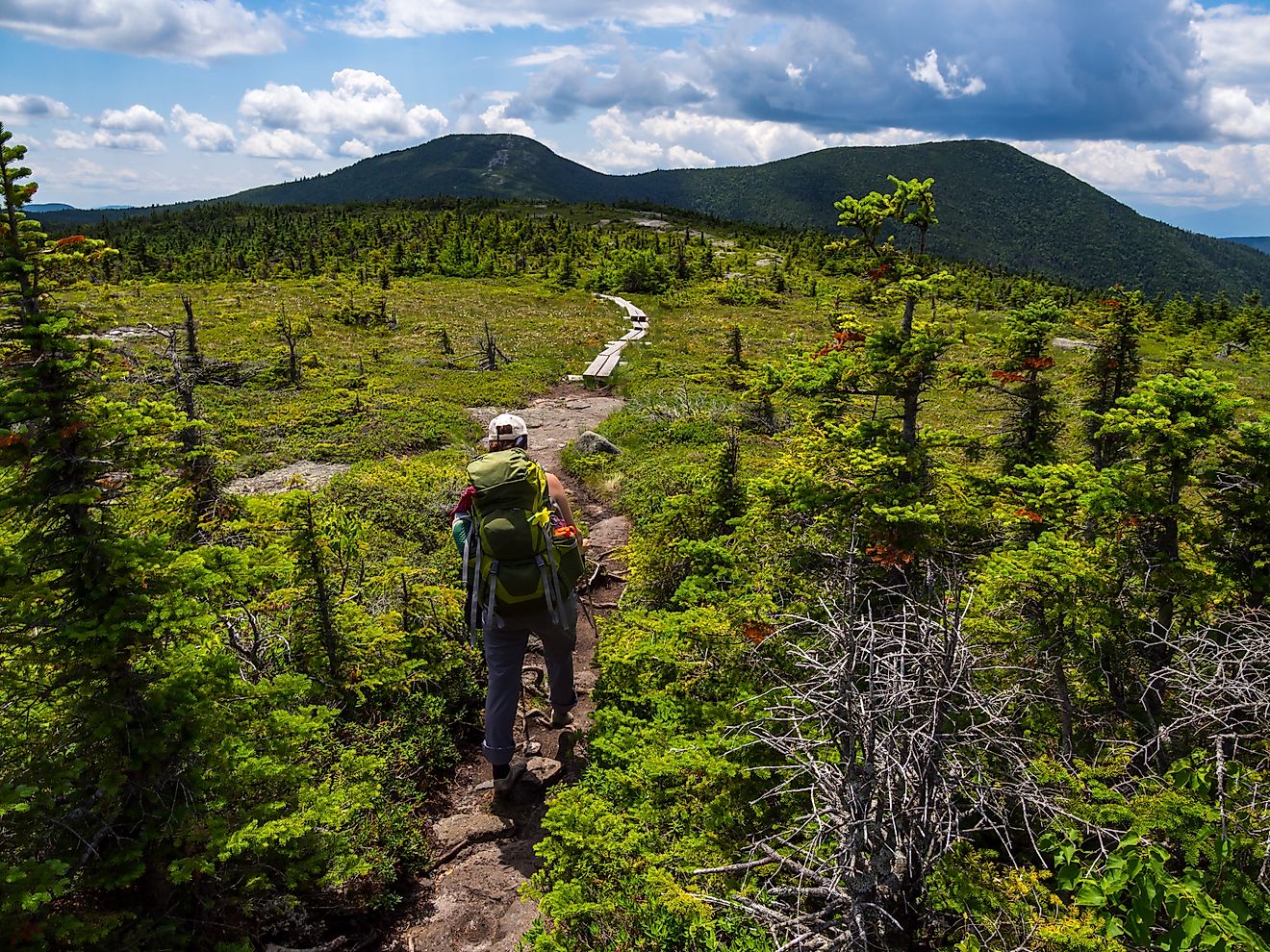
They’re also excellent places for photography, nature study, and light backpacking—perfect for those looking to explore America's less-crowded wild spaces.
A Closer Look: Comparative Table
| Mountain Range | State | Length | Elevation (Highest Point) | Notable Features |
|---|---|---|---|---|
| Sutter Buttes | California | ~10 miles | 2,122 ft (South Butte) | Extinct volcano, circular formation |
| Wichita Mountains | Oklahoma | ~30 miles | 2,464 ft (Mount Scott) | Granite domes, wildlife refuge |
| Black Hills (AZ) | Arizona | ~20 miles | 7,818 feet (at Mingus Mountain) | Desert landscape, off-road trails |
| Dragoon Mountains | Arizona | ~25 miles | 7,512 ft (Mount Glenn) | Apache history, granite peaks |
| Pine Valley Mountains | Utah | ~35 miles | 10,365 ft (Signal Peak) | Alpine terrain, volcanic laccolith |
Planning a Visit: What to Know

Here are some quick tips for travelers looking to explore these small but mighty ranges:
-
Check Access Rules: Some ranges, like the Sutter Buttes, are largely private and require permission or guided tours.
-
Be Prepared for Elevation: Even small ranges can reach high altitudes—carry plenty of water and be prepared for temperature changes.
-
Mind the Seasons: Summer can be scorching in desert ranges like the Dragoon Mountains, while winter brings snow to the Pine Valley Mountains.
-
Leave No Trace: These lesser-known areas are often more fragile—help keep them wild by respecting the land.
The Big Impact of America’s Smallest Mountain Ranges
The smallest mountain ranges in America may not appear on every traveler’s bucket list, but they’re proof that scale isn’t everything. From volcanic relics to sacred strongholds, each of these ranges tells a story of geological drama, ecological wonder, and cultural depth.
So next time you're planning an outdoor escape, consider skipping the mega-mountains and discovering one of these compact wonders. You might just find that small peaks lead to big adventures.