Which US States Have the Most Rivers?
Rivers have long been lifelines for human civilization, carving through landscapes, shaping ecosystems, and powering communities. In the United States, rivers remain central to recreation, transportation, and water supply, and some states are blessed with thousands of them. But which US states actually have the most rivers?
Learn about the states with the highest number of named rivers, exploring what defines a river, why some states are more river-rich than others, and what it means for tourism, ecology, and geography.
What Counts as a River?

Before tallying numbers, it’s important to clarify what qualifies as a river. In general, a river is a naturally flowing watercourse, usually freshwater, that moves toward an ocean, sea, lake, or another river. The distinction between a river, stream, brook, or creek can be fuzzy—often based on size, flow, or local naming conventions.
For this ranking, we use official data from the U.S. Geological Survey (USGS) and state natural resource agencies, which track named rivers, not just streams or creeks. These are mapped, monitored, and often carry historical or environmental significance.
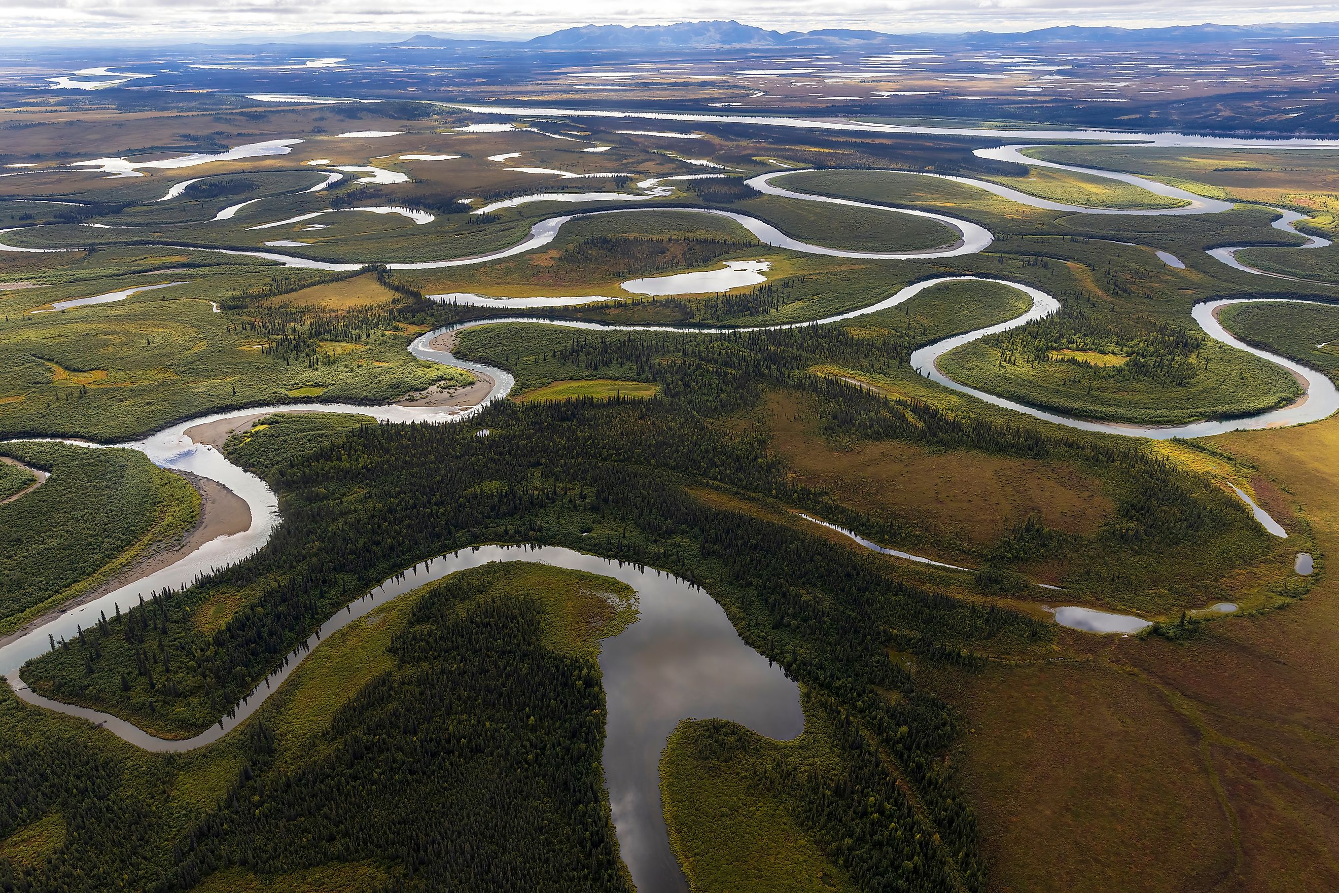
Alaska – Over 12,000 Rivers

It’s no surprise that the largest state by land area also leads in rivers. Alaska has more than 12,000 officially cataloged rivers, and that’s not even counting its countless streams and tributaries. Alaska’s vast, untamed terrain and Arctic, subarctic, and coastal climates give rise to a complex hydrological network.
The mighty Yukon River, the third-longest river in the US, runs for more than 1,900 miles through central Alaska before emptying into the Bering Sea. Other major rivers include the Kuskokwim, Copper, and Tanana Rivers.
Alaska’s rivers play a vital role in subsistence lifestyles, wildlife habitats, and even travel, with many communities only accessible by riverboat or floatplane. Glacial melt, permafrost shifts, and seasonal snowmelt feed these waterways, making them unpredictable but deeply essential.
Notable River: Yukon River
-
Length: 1,982 miles (with 1,265 miles in Alaska)
-
Fun Fact: Used during the Klondike Gold Rush to transport people and goods.
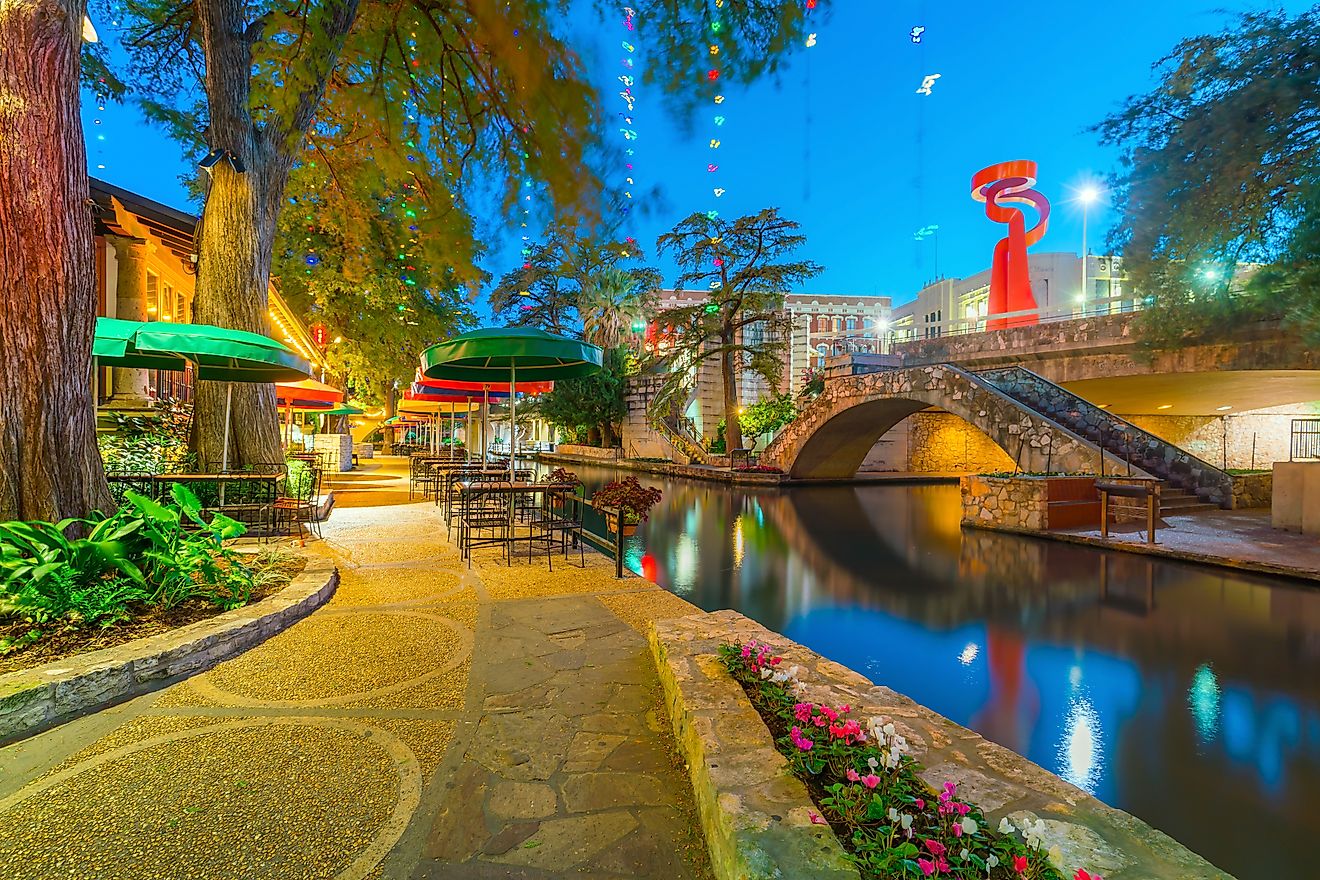
Texas – Over 3,700 Named Rivers and Streams

Texas, the second-largest state by area, is also near the top when it comes to river count. With more than 3,700 named rivers, streams, and tributaries, Texas’ diverse geography—from arid deserts to piney woods—gives rise to multiple river systems.
The Rio Grande, which forms the border with Mexico, is the most iconic, stretching over 1,200 miles in the state. The Brazos, Trinity, and Colorado Rivers (Texas' version, not the Colorado River that carved the Grand Canyon) also shape the state's economy and ecosystems.
Texas rivers are critical for agriculture, municipal water, and recreation, particularly in the central and eastern parts of the state where rainfall is more abundant.
Notable River: Rio Grande
-
Length: 1,896 miles (with ~1,250 miles in Texas)
-
Fun Fact: Serves as a political and cultural boundary between the US and Mexico.
Missouri – Over 2,000 Rivers and Streams

Often called the “Show-Me State,” Missouri shows up strong when it comes to rivers. It boasts over 2,000 rivers and named streams, many of which feed into the grand Missouri and Mississippi Rivers.
The Missouri River, in fact, flows across the state and is the longest river in North America. The Meramec, Gasconade, and Current Rivers are also well-known for fishing, canoeing, and scenic beauty.
The state’s karst topography, particularly in the Ozarks, contributes to an intricate hydrological system with underground rivers, springs, and sinkholes.
Notable River: Missouri River
-
Length: 2,341 miles (including its reach beyond Missouri)
-
Fun Fact: Helped power the Lewis and Clark expedition westward.
Washington – Over 1,500 Rivers

From the snowmelt of the Cascades to the rainfall-soaked Olympic Peninsula, Washington is drenched in rivers. The state has over 1,500 named rivers and creeks, many of which serve as critical spawning grounds for salmon and trout.
The Columbia River is the crown jewel—forming much of the state’s southern boundary and serving as one of North America’s largest hydroelectric sources. Other key rivers include the Yakima, Skagit, and Snohomish.
Washington’s rivers are vital for agriculture, fisheries, energy, and ecosystems—especially in the Pacific Northwest's temperate rainforest regions.
Notable River: Columbia River
-
Length: 1,243 miles (with 460+ miles in Washington)
-
Fun Fact: Its hydroelectric dams power much of the Pacific Northwest.
Oregon – Over 1,400 Rivers and Streams

Just south of Washington, Oregon is another river-rich state with more than 1,400 named rivers. The state’s wild terrain, volcanic past, and high precipitation contribute to this high count.
The Willamette River runs through the heart of Oregon’s population centers, while the Rogue and Umpqua Rivers in the west are renowned for their beauty and whitewater rafting.
Oregon’s rivers support vast forests, rare wildlife, and booming outdoor tourism, especially fly-fishing and paddling.
Notable River: Willamette River
-
Length: 187 miles
-
Fun Fact: More than 70% of Oregon’s population lives within 20 miles of this river.
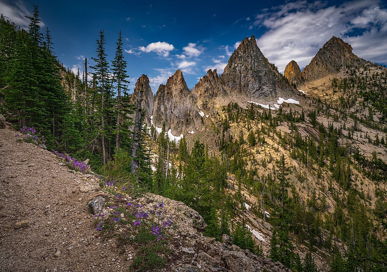
Montana – Over 1,200 Rivers and Streams

Montana’s rugged Rocky Mountains and wide-open prairies offer prime conditions for river formation. The state is crisscrossed with over 1,200 named rivers and streams, including iconic fly-fishing rivers like the Madison, Gallatin, and Bitterroot.
The Missouri River begins in Montana, formed by the confluence of the Jefferson, Madison, and Gallatin Rivers. These headwaters are a central piece of American river history and ecology.
Montana’s rivers are revered by anglers, boaters, and conservationists for their pristine waters and trout-rich currents.
Notable River: Missouri River Headwaters
-
Fun Fact: Three separate rivers merge near Three Forks, Montana, to form the Missouri.
Mississippi – Over 1,000 Rivers and Streams

While the Mississippi River dominates the state’s geography and identity, Mississippi also has over 1,000 named rivers and streams of its own. These include the Yazoo, Pearl, and Pascagoula Rivers, which weave through rich delta soil and bayous.
These rivers support wetlands, agriculture, and a diverse array of wildlife, from catfish to alligators. The state’s humid climate and coastal plains are ideal conditions for meandering rivers.
Notable River: Mississippi River
-
Length: 2,340 miles (with 400+ miles bordering or within Mississippi)
-
Fun Fact: One of the most famous rivers in the world, forming part of 10 US state borders.
Why Some States Have More Rivers Than Others

Several factors influence how many rivers a state has:
-
Size: Larger states like Alaska and Texas naturally have more space for river systems.
-
Topography: Mountainous or hilly regions, such as the Rockies or Appalachians, encourage water runoff and river formation.
-
Climate: Regions with more precipitation tend to have more rivers. Rainfall and snowmelt feed the watersheds.
-
Geology: Karst landscapes, volcanic activity, and glacial history can all play roles in shaping river density.
A Note on Semantics:
While this article focuses on named rivers, it’s worth noting that naming conventions vary. In many parts of the country, rivers that would be called “streams” or “creeks” elsewhere may be officially labeled as rivers, and vice versa. The U.S. Board on Geographic Names helps standardize this, but local tradition often wins out.
Rivers as More Than Just Waterways

In many of these states, rivers aren’t just natural features—they’re cultural touchstones, economic engines, and ecological lifelines. They influence local economies through tourism and agriculture, mark political and natural boundaries, support rare wildlife, and shape state identities. From the glacier-fed torrents of Alaska to the slow, fertile flows of the Mississippi Delta, each river tells a unique story of the land it passes through.
Rivers transport nutrients, carve valleys, provide drinking water, and create habitats vital for biodiversity. They shift over time, reminding us that nature is never static. Whether you're a kayaker navigating the rapids, an angler casting a line, or simply someone who appreciates the beauty of the natural world, America's river-rich states offer an unmatched window into the country’s wild, living landscapes.
These rivers aren't just flowing bodies of water—they're the threads that connect geography, history, and life across the United States.
Q&A: Rivers in the US
What is the longest river in the United States?
The Missouri River is the longest, stretching 2,341 miles.
Which US state has the most total river miles?
Alaska, by far, with more than 20,000 miles of navigable waterways.
Are all rivers named?
No. Thousands of smaller rivers and streams remain unnamed, especially in remote or rural areas.
Why are rivers important to ecosystems?
They transport nutrients, shape landscapes, support biodiversity, and provide freshwater to communities.
Can rivers change course over time?
Yes. Natural processes like erosion, flooding, and sediment buildup can shift river paths.