7 Largest Earthquakes to Hit the US
Earthquakes have shaped the American landscape, both literally and historically. From massive tremors in the icy reaches of Alaska to destructive shakes beneath California’s sun-soaked soil, seismic activity in the United States has left a lasting legacy. While not as frequent as in some other parts of the world, when major quakes hit the US, they hit hard.
The US sits on a complex network of tectonic boundaries, most notably the Pacific and North American Plates. The result? A geological fault line battleground that occasionally unleashes unimaginable power. The following are the seven most powerful earthquakes ever recorded in US history; ranked by magnitude, with details on their locations, effects, and what they revealed about the earth beneath our feet.
1964 Alaska Earthquake
Magnitude: 9.2
Date: March 27, 1964
Location: Prince William Sound, Alaska
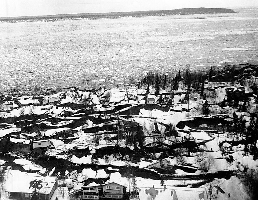
The 1964 Alaska earthquake remains the most powerful earthquake ever recorded in the United States and the second most powerful in world history.
Striking on Good Friday, this magnitude 9.2 megathrust earthquake shook southern Alaska for over four and a half minutes. The epicenter was located about 75 miles east of Anchorage in Prince William Sound. But the devastation rippled far beyond. Entire neighborhoods in Anchorage were destroyed due to intense ground fissures, landslides, and soil liquefaction. A massive tsunami followed, traveling down the West Coast and killing 131 people, many of them in coastal towns like Seward and Valdez.
Thousands of aftershocks rattled the region for weeks. The quake permanently altered the Alaskan coastline and prompted major changes in earthquake engineering and tsunami warning systems across the US.
2011 Tōhoku Earthquake (US Territories)

Magnitude: 9.1
Date: March 11, 2011
Location: Northern Pacific Ocean (US territories affected)
Although centered off the coast of Japan, the magnitude 9.1 Tōhoku earthquake had a significant impact on US territories in the Pacific and even triggered tsunami warnings for the West Coast.
Waves generated by the quake reached Hawaii, causing millions in damages and prompting mass evacuations. On the West Coast, particularly in Crescent City, California, tsunami surges damaged ports and harbors.
While this quake wasn’t directly under US soil, its global reach and measurable impact on American shores underscore how seismic events can ripple across oceans.
1965 Rat Islands, Alaska Earthquake
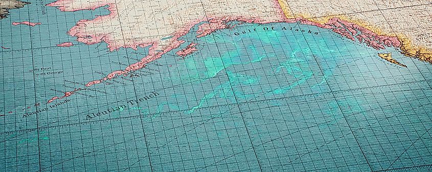
Vintage map showing the Aleutian Trench and surrounding ocean areas.
Magnitude: 8.7
Date: February 4, 1965
Location: Rat Islands, Aleutian Islands, Alaska
Part of the Aleutian arc, the Rat Islands quake of 1965 registered a massive magnitude 8.7. Despite its strength, the location’s remoteness spared mainland Alaska and the lower 48 from major destruction.
This was a classic megathrust earthquake resulting from subduction, where one tectonic plate dives beneath another. The quake lasted nearly three minutes and generated a tsunami over 30 feet high locally.
While casualties were limited due to the area’s sparse population, the earthquake provided crucial seismic data. It contributed to better modeling of tsunami behavior and reinforced the significance of the Aleutian subduction zone.
1957 Andreanof Islands Earthquake

Magnitude: 8.6
Date: March 9, 1957
Location: Andreanof Islands, Alaska
Just eight years before the Rat Islands quake, another colossal temblor rattled the central Aleutian Islands with a magnitude of 8.6. This powerful quake originated near the Andreanof Islands and sent a tsunami across the Pacific.
The tsunami caused property damage as far as Hawaii and Peru. In some places, like Hilo, Hawaii, wave heights exceeded 15 feet. Fortunately, no major fatalities were recorded.
The event served as one of the first times seismologists closely monitored a major quake and tsunami using global instruments, paving the way for international seismic monitoring networks.
1938 Alaska Peninsula Earthquake
Magnitude: 8.2
Date: November 10, 1938
Location: South of Alaska Peninsula
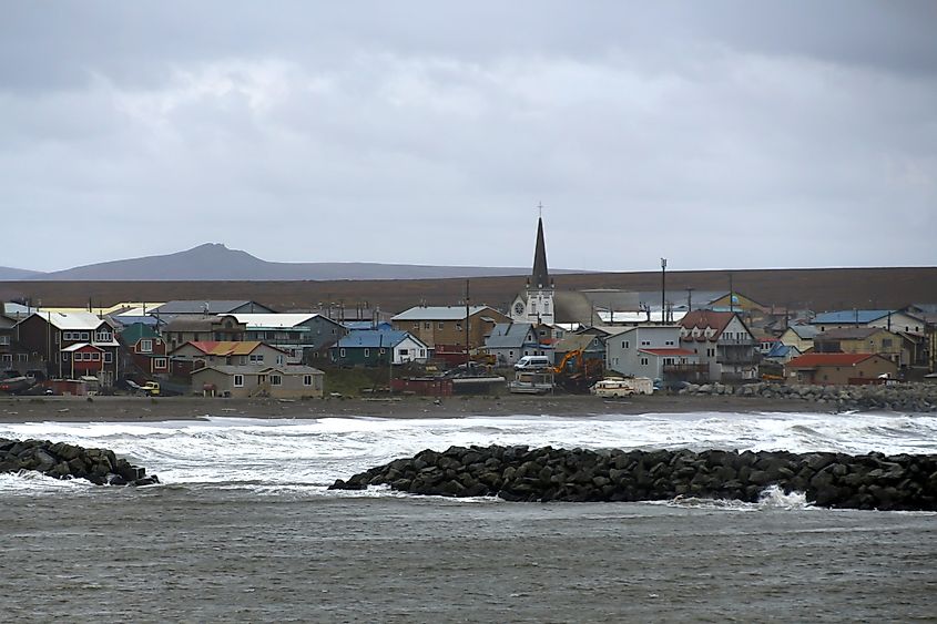
This major earthquake struck off the southern coast of the Alaska Peninsula with a recorded magnitude of 8.2. Like many Alaskan quakes, it was the result of subduction between the Pacific Plate and North American Plate.
Though remote, this quake generated a tsunami that reached the Hawaiian Islands with waves up to 3 feet. In Alaska, it rattled local fishing villages and coastal communities, but the sparse population kept casualties low.
This quake further highlighted Alaska's position as one of the most seismically active areas in the Northern Hemisphere. It also showed how even distant undersea quakes could pose a tsunami threat to Hawaii.
1906 San Francisco Earthquake
Magnitude: 7.9
Date: April 18, 1906
Location: San Francisco, California
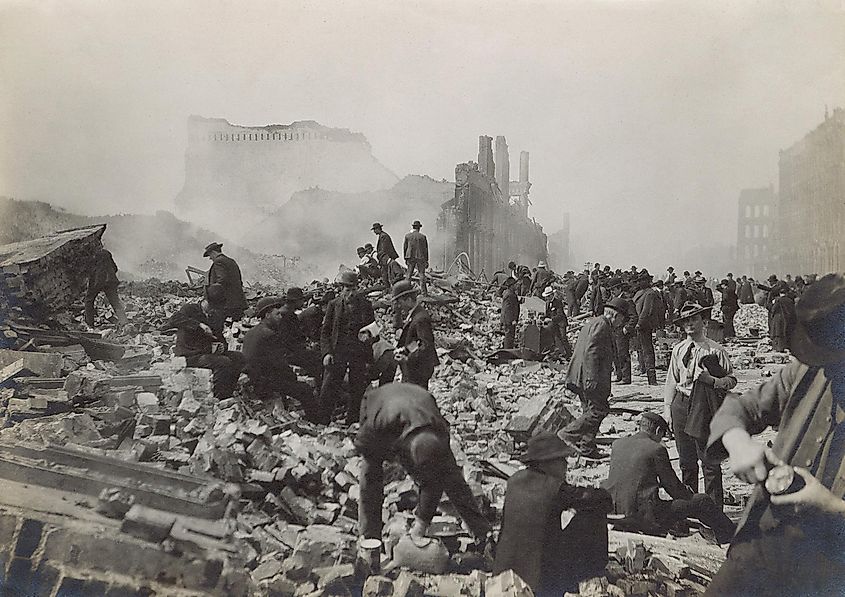
Though not the largest in magnitude, the 1906 San Francisco earthquake is perhaps the most infamous in US history due to its death toll and the destruction it caused in a major American city.
The earthquake struck early in the morning and violently shook the city for about 45 seconds. But it wasn’t just the tremor that leveled San Francisco, the fires that followed turned much of the city into ash and rubble.
At least 3,000 people died, and over 80% of the city was destroyed. It remains one of the deadliest natural disasters in US history.
This quake placed the San Andreas Fault in the scientific spotlight and ultimately transformed earthquake engineering, insurance, and urban planning in California.
1872 Owens Valley Earthquake
Magnitude: 7.6–7.9
Date: March 26, 1872
Location: Owens Valley, California
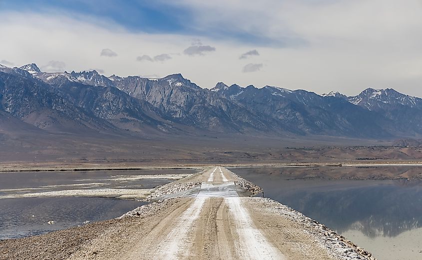
Before California became known for LA traffic and Hollywood glitz, it was already a land of seismic drama. The Owens Valley earthquake is one of the strongest continental earthquakes in US history. Modern estimates place it between 7.6 and 7.9. The quake ruptured a 60-mile stretch of fault and was felt as far away as Sacramento and San Diego.
In the town of Lone Pine, nearly every adobe building was leveled. At least 27 people died. Massive surface ruptures were documented, some up to 20 feet of vertical displacement, providing valuable geological evidence of fault movement.
The Owens Valley quake helped early scientists better understand strike-slip faults and intermountain faulting, especially in regions not tied to plate boundaries.
The Science Behind These Quakes
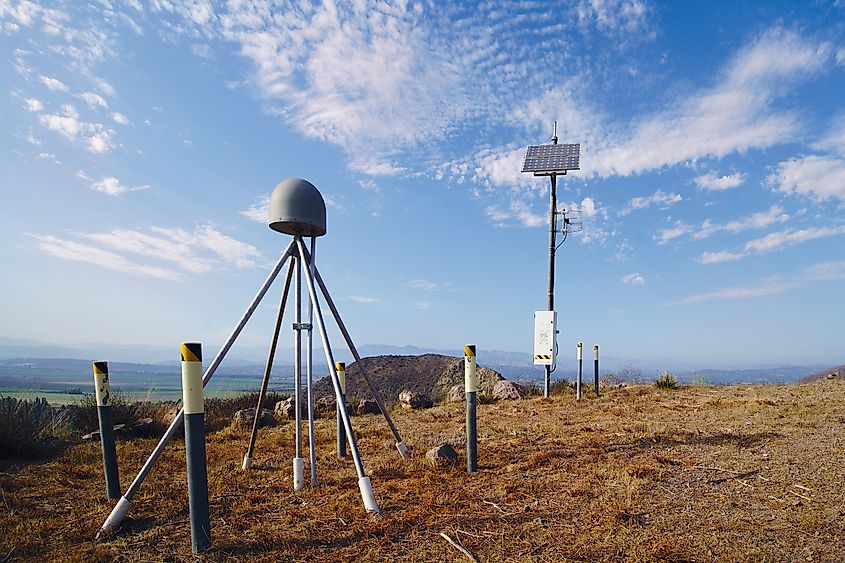
All of these earthquakes, whether megathrust subduction events off Alaska or crustal strikes in California, are the result of tectonic movements. The western US, especially along the Pacific Coast, is where the Pacific Plate grinds, dives, and collides with neighboring plates.
Three major fault systems dominate the seismic narrative:
-
San Andreas Fault: A strike-slip fault running roughly 800 miles through California.
-
Cascadia Subduction Zone: Extending from northern California to British Columbia, it’s capable of producing magnitude 9.0+ quakes.
-
Alaska-Aleutian Subduction Zone: One of the most active in the world, responsible for the top five quakes on this list.
Lessons Learned and Still Being Learned
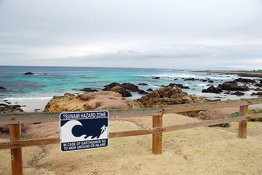
Every massive quake in US history has triggered advances in engineering, preparedness, and early warning systems. Today, the U.S. Geological Survey (USGS) operates a vast network of seismic monitoring stations and is developing early warning systems like ShakeAlert on the West Coast.
Modern buildings in seismic zones are now constructed with base isolators, flexible frames, and shock absorbers to withstand shaking. But even the best technology can’t fully prevent damage in a major quake, it can only reduce it.
Aftershocks of History
The seven largest earthquakes in US history reveal a sobering truth: much of America, especially in the West, lies in the path of tectonic fury. While the earth may be quiet today, history reminds us that it never stays silent for long.
From Alaska’s remote islands to the bustling streets of San Francisco, each quake has left its mark. And each one offers a reminder of the raw, unpredictable power beneath our feet, and the importance of preparation above ground.
Largest Earthquakes in US History: Dates, Magnitudes, and Impact
| Rank | Date | Location | Magnitude | Notable Impact |
|---|---|---|---|---|
| 1 | March 27, 1964 | Prince William Sound, Alaska | 9.2 | Deadly tsunami, Anchorage destruction |
| 2 | March 11, 2011 | Pacific Ocean (U.S. territories) | 9.1 | Tsunami damage in Hawaii and California |
| 3 | February 4, 1965 | Rat Islands, Alaska | 8.7 | 30-ft tsunami, remote but significant |
| 4 | March 9, 1957 | Andreanof Islands, Alaska | 8.6 | Tsunami damage in Hawaii, widespread shock |
| 5 | November 10, 1938 | Alaska Peninsula | 8.2 | Tsunami reached Hawaii, low casualties |
| 6 | April 18, 1906 | San Francisco, California | 7.9 | City destroyed, over 3,000 deaths |
| 7 | March 26, 1872 | Owens Valley, California | 7.6–7.9 | Surface ruptures, Lone Pine devastation |
