The Most Unusual Natural Borders Between US States
Most people picture state borders as straight lines drawn on a map—but that's far from the truth. In many parts of the United States, nature had a bigger say than surveyors. From shifting rivers and earthquakes to legal battles and historical oddities, some state lines are anything but simple.
Whether it’s a pocket of Kentucky only reachable through Tennessee or a circle-shaped border that gives Delaware land on the New Jersey side of a river, these natural borders offer a fascinating look at how geography and history have collided in surprising ways.
If you're a curious traveler, geography buff, or just love bizarre American stories, these state borders are full of unexpected twists.
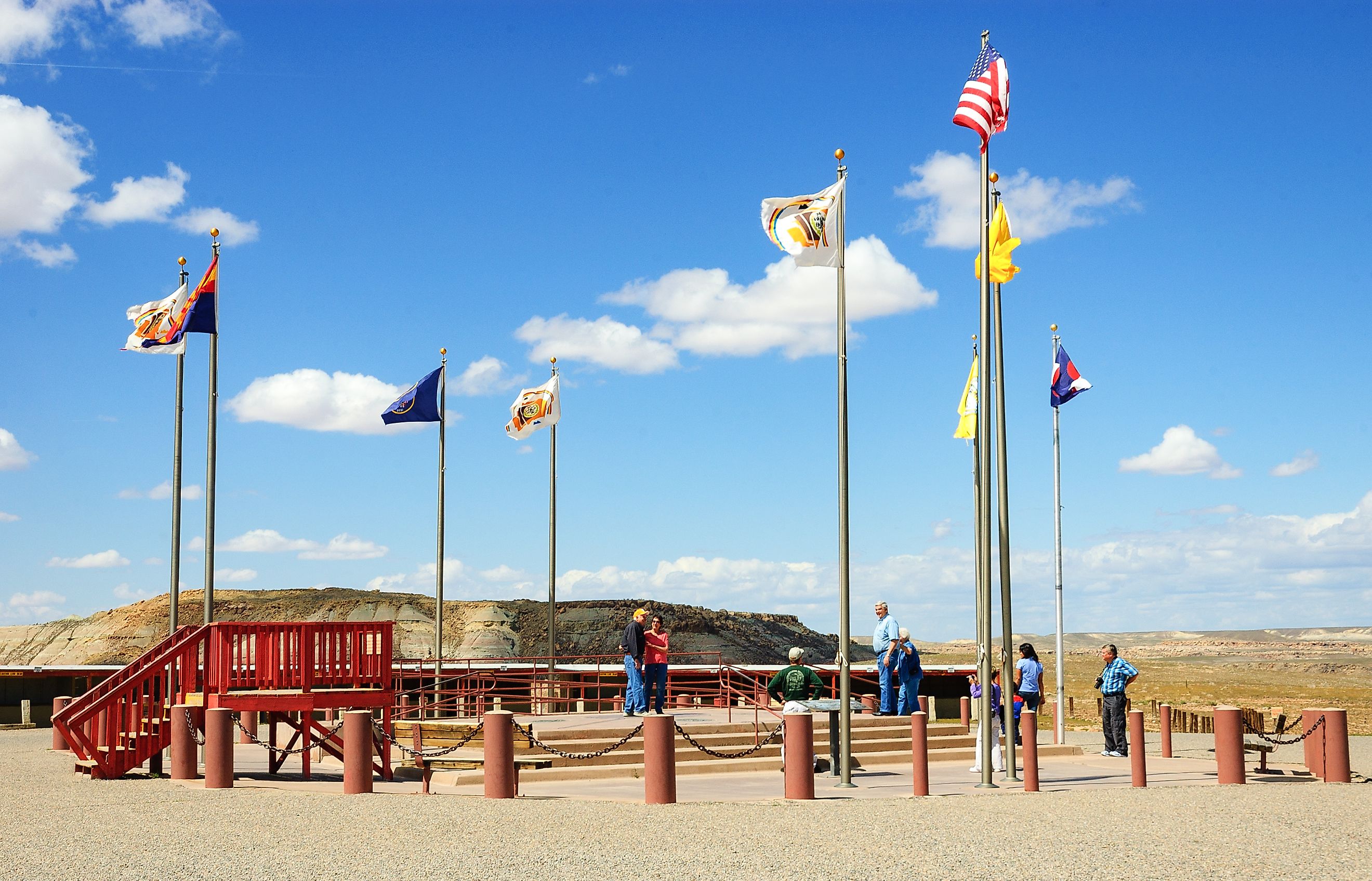
Four Corners: Where Four States Meet in the Desert

This iconic spot where Arizona, New Mexico, Colorado, and Utah touch is the only place in the US where four states meet at a single point. But it’s not just a tourist photo op—the Four Corners region sits on the high Colorado Plateau, with rugged canyons and ancient rock formations that shaped how surveyors drew lines in the 1800s.
The border markers were placed before the land was properly mapped, which means the exact point isn’t perfectly accurate. Still, the Four Corners Monument remains one of the country’s most photographed geographic oddities.
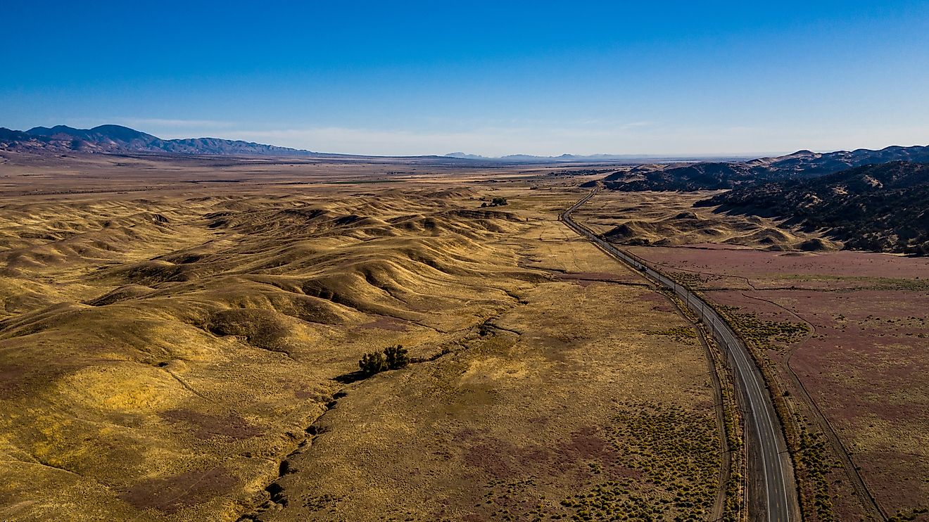
The Red River: A Shifting Line Between Texas and Oklahoma

At first glance, the Red River makes a logical border. But over time, it’s been anything but stable. The river has meandered and shifted, especially after heavy floods—sometimes changing the course of the border between Texas and Oklahoma.
Tensions reached a boiling point in the 1920s, when oil was found in the area. Both states claimed the mineral-rich land, leading to a Supreme Court battle. Even now, compacts are in place to govern water and mineral rights, proving that the Red River’s wild path is more than just a natural feature—it’s a political challenge.
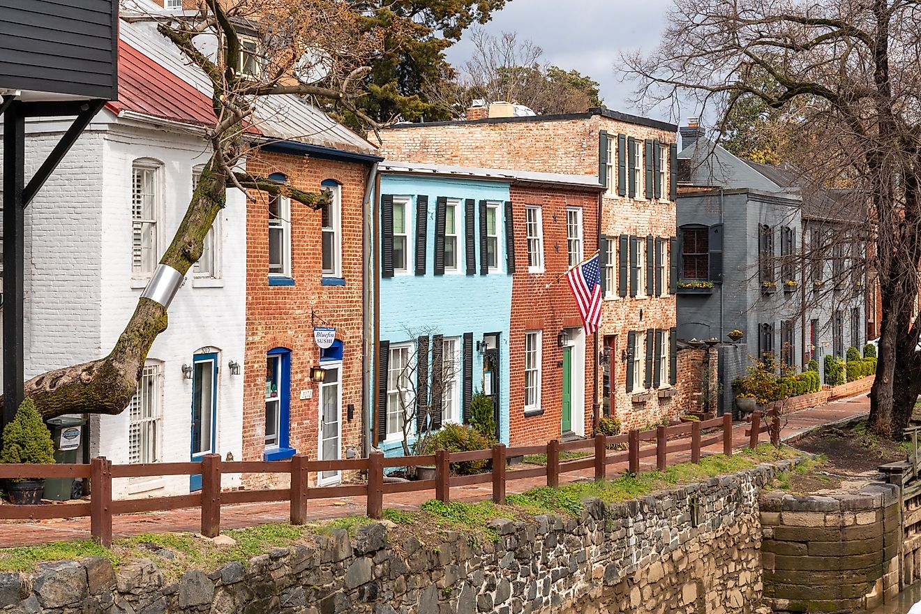
Delaware’s Twelve-Mile Circle: A Colonial Quirk

One of the strangest shapes on any US map is Delaware’s Twelve-Mile Circle. It’s exactly what it sounds like: a 12-mile radius drawn around the courthouse in New Castle, Delaware. The line was set during colonial times and it cuts across the Delaware River, giving Delaware a strip of land that actually sits on the New Jersey side.
This strange border has led to disputes between the two states—and legal confusion that still crops up today. It's a perfect example of how old maps and natural features don’t always line up cleanly.
McKissick Island: Nebraska Land, Missouri Location

In 1877, a massive flood caused the Missouri River to carve a new path, leaving McKissick Island marooned. The land legally belongs to Nebraska, but it now sits on the Missouri side of the river—cut off from the rest of its home state.
Nebraska and Missouri fought over the territory for years until the Supreme Court ruled that sudden shifts in a river’s path (called avulsion) don’t change state lines. Today, McKissick Island is still part of Nebraska, despite being easier to reach from Missouri.
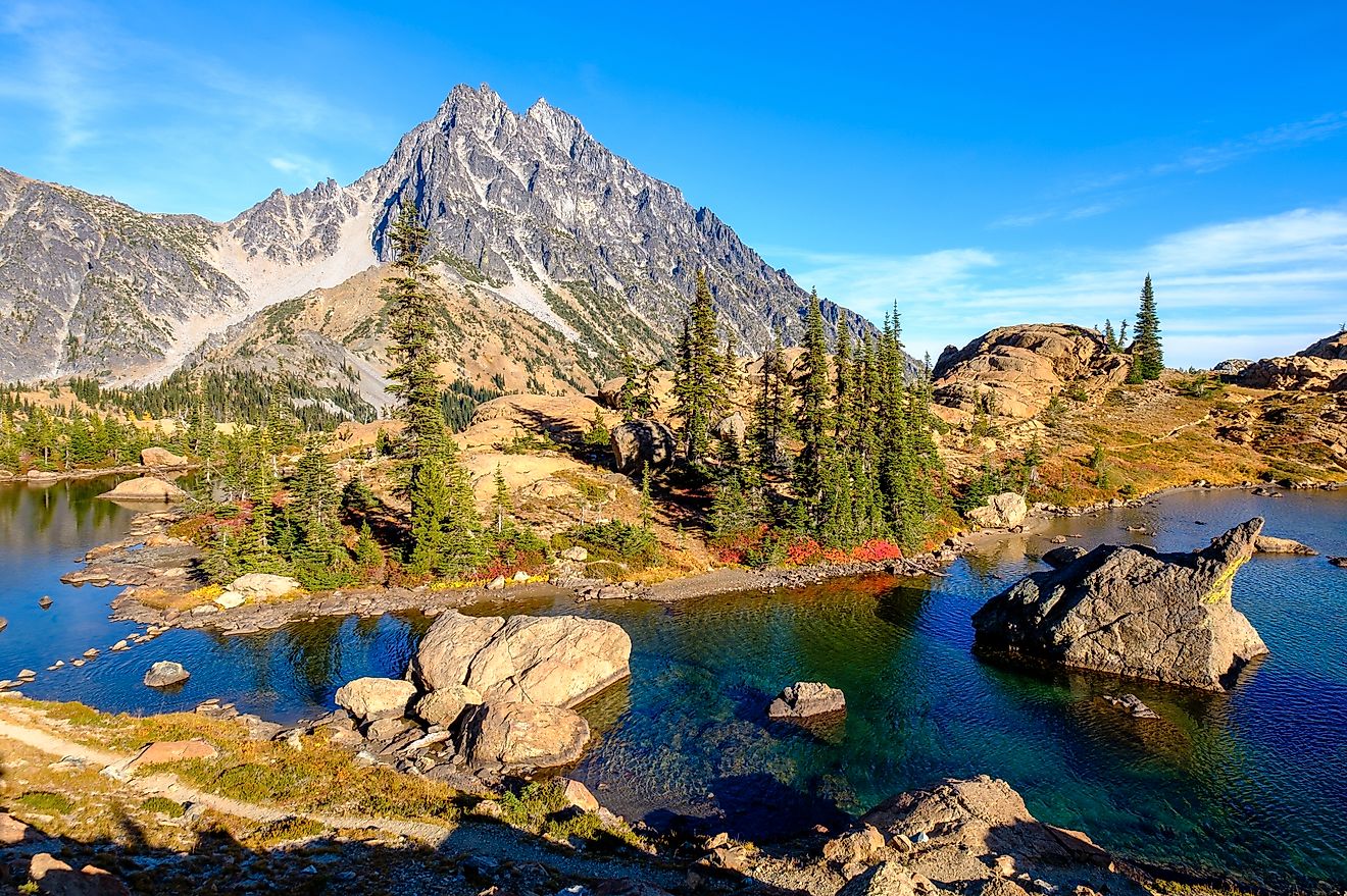
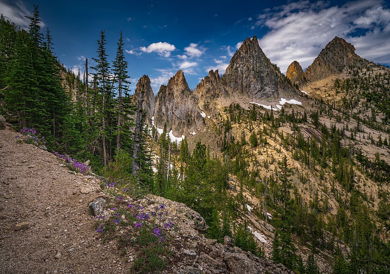
The Bitterroot Divide: Idaho and Montana’s Mountain Barrier

Instead of trying to cut a straight line across the rugged Rocky Mountains, early mapmakers let the land do the work. The border between Idaho and Montana mostly follows the Bitterroot Range and the Continental Divide, which separates the watersheds of the Pacific and Atlantic Oceans.
It’s a border defined by towering peaks and wild terrain—remote, scenic, and impossible to mistake for anything artificial.
Georgia vs. Tennessee: A Border Dispute Over Water

For over 150 years, Georgia has claimed that a surveying error placed its border with Tennessee one mile too far south. Why does that matter? Because it puts the Tennessee River—an increasingly valuable water source—just out of reach.
As Atlanta continues to grow, Georgia has pushed harder to renegotiate the border, hoping to tap into the river for its water needs. So far, Tennessee has refused, and the fight simmers quietly in the background, ready to reignite during future droughts.
The Toledo War: When Ohio and Michigan Almost Fought

In the early 1800s, a misdrawn map sparked a bizarre showdown between Ohio and the Michigan Territory. Both wanted control of a strip of land that included Toledo, an up-and-coming city on Lake Erie.
Each state mobilized militias, and tensions escalated until Congress stepped in. Ohio got Toledo. Michigan got the Upper Peninsula. In retrospect, Michigan may have won the trade—the Upper Peninsula is now known for its forests, lakes, and natural resources.
Kentucky Bend: A Slice of Land Lost in a Loop

Tucked into a sharp horseshoe bend in the Mississippi River lies the Kentucky Bend—a piece of land that technically belongs to Kentucky but is surrounded by Missouri and Tennessee. The land was isolated by a major earthquake in 1812 and the river’s shifting path.
Today, the only way to reach the Kentucky Bend by road is through Tennessee. A few farms remain, and the area’s geographic oddity continues to fascinate geographers and curious road-trippers.
Colorado’s "Straight" Borders Are a Bit Off

Colorado is famous for its rectangular shape, supposedly defined by straight lines of latitude and longitude. But in the 1800s, surveyors using basic tools made small errors that still show up today. Some corners of Colorado don’t line up exactly as they should.
While these inconsistencies are minor, they’re a reminder that even “perfect” borders aren’t always so perfect in reality.
The Sabine River: A Border Born From Confusion

The Sabine River separates Texas and Louisiana, winding through bayous and wetlands. But in the early 1800s, both Spain and the US claimed the territory on either side, creating the “Neutral Ground”—a no-man’s-land with no official government.
Eventually, the river was accepted as the border, but even now its slow shifts can cause jurisdictional headaches. The Sabine is another example of a border shaped more by nature than by politics.
Why Natural Borders Still Matter Today
These unusual borders aren’t just geographic trivia. They affect everything from water rights and emergency services to mineral access and tax collection. Many are still at the heart of legal disputes or logistical challenges today.
They also make for some of the most interesting road trips in America—where you can literally walk (or boat) across history, politics, and geology.
Weird State Borders: Fast Facts

-
Only place where 4 states meet: Four Corners (AZ, NM, CO, UT)
-
Border that forms a perfect circle: Delaware’s Twelve-Mile Circle
-
Island that belongs to Nebraska but lies in Missouri: McKissick Island
-
Ongoing water dispute: Georgia and Tennessee over the Tennessee River
-
A war over a border? Yes—Ohio and Michigan in the 1830s
-
Most bizarre land pocket: Kentucky Bend
America’s Borders Tell Bigger Stories
Whether caused by rivers, mountains, or human error, these borders reveal more than geography. They reflect how America grew, fought, negotiated, and adapted to the land beneath our feet. And sometimes, the most surprising lines on a map are the ones that nature drew first.
So next time you look at a state map, remember—those lines might have stories to tell.