Nantahala National Forest
Nantahala National Forest covers more ground, gathers more rainfall, and carries deeper roots than any other stretch of North Carolina’s mountains. As the state’s largest national forest, it shapes the western part of the state and is one the wettest regions in the continental United States, trailing only parts of the Pacific Northwest.
Its name comes from a Cherokee phrase meaning “Land of the Noonday Sun.” The phrase points to steep valleys where sunlight reaches the forest floor only when the sun sits high overhead. That idea still rings true. Thick canopy, shaded river corridors, and constant water movement set the tone here. This area also belongs to the Appalachian temperate rainforest, a rare environment marked by heavy rainfall and remarkable biological variety.
What follows is a closer look at Nantahala National Forest through its past, its natural systems, and the places that give it lasting meaning.
A Forest Rooted in Cherokee History

Long before federal protection, this land formed part of the Cherokee homeland. Indigenous ancestors lived, traveled, hunted, and traded across these mountains for thousands of years. The Nantahala River valley served as a corridor for daily life and commerce.
European settlement brought dramatic change. Traders from South Carolina entered the region during the early 1700s, exchanging deer hides for goods. A series of treaties followed, gradually stripping Cherokee land across the Southeast. By the late 1700s and early 1800s, forced land cessions accelerated. The Treaty of Hopewell in 1785 marked another major loss.
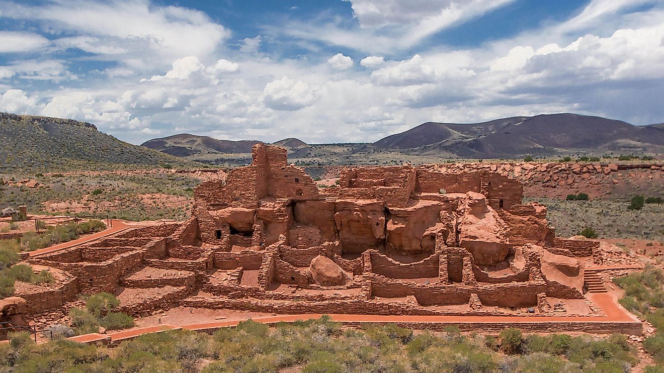
The removal era followed. Fort Butler in Murphy became one of the departure points for Cherokee families forced west during the Trail of Tears. That route passed directly through parts of what later became the forest. Despite this history, North Carolina still holds one of the largest Cherokee populations east of the Mississippi, centered nearby in the Qualla Boundary.
Early Exploration and Scientific Curiosity

European exploration reached the area in 1540 when Hernando de Soto passed through the southern Appalachians. Centuries later, naturalist William Bartram traveled these same mountains during the late 1700s.
Bartram’s work stands apart. As America’s first native-born naturalist illustrator, he documented plants, landscapes, and cultures across the Southeast. His writing sparked early interest in the region’s biodiversity and shaped future conservation thinking. A later trail bearing his name honors that legacy.
The Bartram Trail stretches from the Cheoah River in North Carolina to the Chattooga River in Georgia. While modern roads altered the exact path, sections along Trimont Ridge and the Fishhawk Mountains reflect the terrain Bartram once recorded.
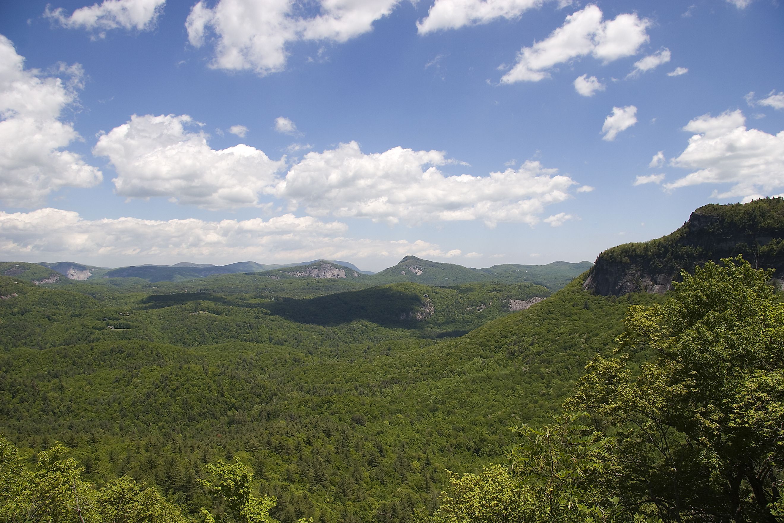
Rain, Rivers, and a Living Rainforest

Nantahala National Forest sits inside one of North America’s wettest regions. Moist air from the Gulf of America rises over the mountains, releasing frequent rainfall. This constant moisture supports moss-covered trees, dense undergrowth, and fast-flowing streams.
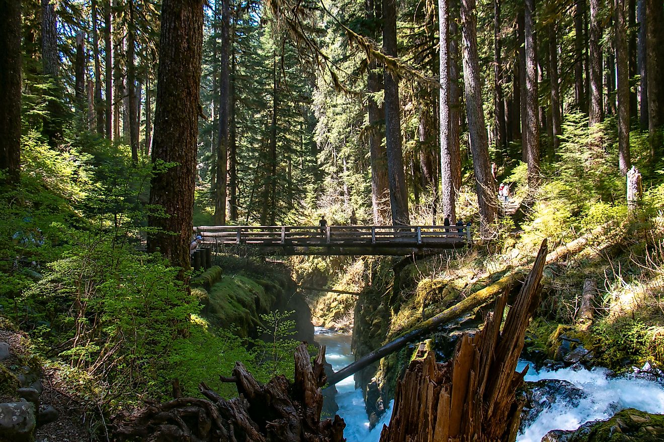
The Nantahala River cuts through the forest, carving steep gorges and feeding trout waters prized across the Southeast. Numerous waterfalls spill from high elevations, some dropping hundreds of feet in stages. These waterways shape both ecology and recreation, drawing paddlers, anglers, and hikers year-round.
Elevation ranges dramatically, climbing to nearly 5,800 feet at Lone Bald and dropping to about 1,200 feet near the Hiwassee River. That variation creates microclimates that support a wide mix of plant and animal life.
Conservation Battles That Changed the Map

By the late 1800s, logging operations stripped many southern Appalachian slopes. Clear-cut hillsides led to erosion, flooding, and fire. Dr. Chase P. Ambler emerged as an early advocate for mountain protection, founding the Appalachian National Park Association and pressing Congress for action.
The Forest Reserve Act of 1891 and the Weeks Act of the early 1900s marked turning points. Federal funds allowed the purchase of damaged lands for conservation. Many tracts came from abandoned logging companies eager to avoid taxes.
On January 29, 1920, President Woodrow Wilson signed the proclamation that officially created Nantahala National Forest. Additional boundary changes followed under Presidents Harding and Hoover, shaping the forest’s modern footprint. A major remapping in 1936 aligned the forest entirely within North Carolina.
Old Growth Still Standing

Much of the forest grew back after intense logging, yet large pockets of old growth still exist. About 30,800 acres meet the criteria, with the Joyce Kilmer Slickrock Wilderness standing out as the most well known section.
The Joyce Kilmer Memorial Forest protects towering tulip poplars that rise more than 100 feet, with some trees dating back over 450 years. The grove was dedicated in 1936 to poet Joyce Kilmer and preserves trees spared by logging because of steep slopes and isolation. A walk through this area reveals how the southern Appalachians looked before widespread clearing.
Cheoah Ranger District and Towering Trees

The Cheoah Ranger District covers more than 120,000 acres in Graham and Swain counties. Its name comes from a Cherokee word meaning otter, a reference to the many streams and waterways throughout the area.
This district includes the Joyce Kilmer Memorial Forest along with part of the Joyce Kilmer Slickrock Wilderness. The Appalachian Trail runs through this section after leaving the Nantahala Ranger District on its way to Great Smoky Mountains National Park. Old forests, large reservoirs, and remote backcountry dominate this section.
Nantahala Ranger District and Trail Crossroads

The Nantahala Ranger District is the largest section of the forest, totaling about 250,000 acres. It took its current form in 2007 after several areas were combined, stretching across Macon, Jackson, and Swain counties.
Standing Indian Mountain reaches 5,499 feet and ranks as one of the forest’s highest peaks. Wayah Bald marks a major trail crossing and features a historic overlook built by the Civilian Conservation Corps. Four long-distance routes pass through the district: the Appalachian Trail, Bartram Trail, Foothills Trail, and Mountains-to-Sea Trail.
The Roy Taylor Forest sits within this district as well. Added in 1981, it includes the steep Tuckasegee Gorge and sits close to the Blue Ridge Parkway.
Tusquitee Ranger District and Southern Waters

The Tusquitee Ranger District sits in Cherokee and Clay counties and includes more than 158,000 acres. Its name means “where the waterdogs laughed,” a reference to the rich aquatic life connected to the Hiwassee River system.
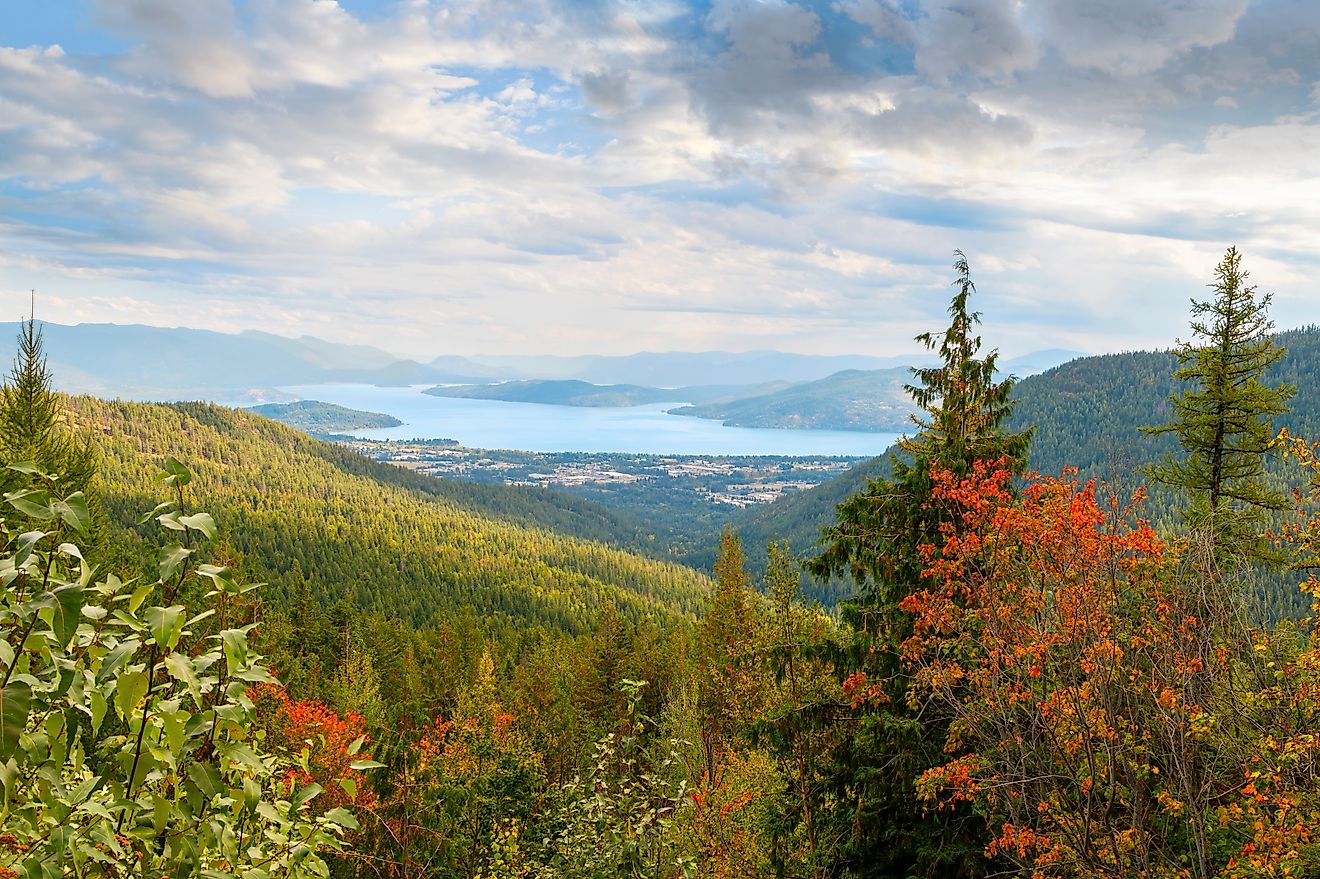
This district includes Jackrabbit Mountain and several large lakes managed by the Tennessee Valley Authority, including Lake Chatuge, Hiwassee Lake, and Lake Appalachia. Tusquitee Bald reaches 5,280 feet, marking the district’s highest elevation.
Wilderness Areas With Limited Access

Three federally designated wilderness areas fall within Nantahala National Forest:
-
Ellicott Rock Wilderness, near the junction of North Carolina, South Carolina, and Georgia
-
Southern Nantahala Wilderness, spread across the Nantahala and Tusquitee districts
-
Joyce Kilmer-Slickrock Wilderness, known for old-growth forest and rugged terrain
These areas limit development and motorized access, preserving backcountry conditions influenced by weather, elevation, and time.
Waterfalls, Trails, and Standout Landmarks

Several well-known landmarks stand out across the forest. The Appalachian Trail runs between Nantahala National Forest and Great Smoky Mountains National Park, connecting two major protected areas. Wayah Bald brings together multiple trails and wide mountain views.
Whitewater Falls, the tallest waterfall east of the Rockies, plunges a total of 811 feet in a series of cascades. Fires Creek Recreation Area in Clay County supports fishing and camping. Cold, oxygen-rich streams wind through large sections of the forest and sustain healthy trout waters.
| Fact | Detail |
|---|---|
| Location | Western North Carolina (Macon, Graham, Cherokee, Jackson, Clay, Swain, and Transylvania counties) |
| Size | 531,270 acres (830 sq. mi.) |
| Established | January 29, 1920 by President Woodrow Wilson |
| Highest Peak | Standing Indian Mountain – 5,499 ft |
| Old-Growth Forest | About 30,800 acres, including Joyce Kilmer-Slickrock Wilderness |
| Major Rivers | Nantahala River, Hiwassee River |
| Wilderness Areas | Joyce Kilmer-Slickrock, Southern Nantahala, Ellicott Rock |
| Long-Distance Trails | Appalachian Trail, Bartram Trail, Foothills Trail, Mountains-to-Sea Trail |
| Notable Waterfall | Whitewater Falls – tallest east of the Rockies, 811 ft total |
| Ranger Districts | Nantahala, Cheoah, Tusquitee |
| Unique Feature | Part of the Appalachian temperate rainforest, second wettest region in the continental U.S. |
| Activities | Hiking, camping, fishing, trout streams, OHV areas, scenic drives |