What Hemisphere The United States is in
Maps often make the world look neat and simple, but the reality of hemispheres is more surprising. The United States spans a huge range of longitudes and latitudes, stretching far north, west, and even south. Its position across multiple hemispheres shapes climate, daylight patterns, and connections with the rest of the world.
Most of the country sits in two hemispheres, some areas reach into a third, and a few distant territories touch a fourth. This wide geographic reach gives the United States a unique global footprint, influencing everything from seasonal weather to the way it interacts with neighboring countries.
Breaking Down Earth’s Hemispheres

Before looking at the United States specifically, it helps to understand how earth is divided.
There are four main hemispheres:
-
Northern Hemisphere
-
Southern Hemisphere
-
Eastern Hemisphere
-
Western Hemisphere
Each hemisphere tells a different story about climate, location, and global orientation. The United States interacts with all four to some degree, creating one of the most geographically diverse national footprints on the planet.
The United States in the Northern Hemisphere

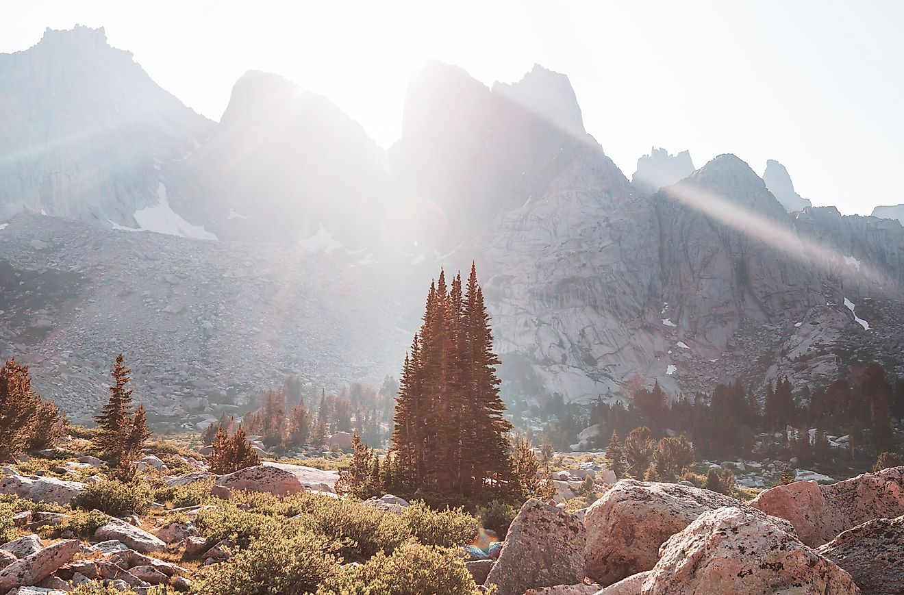
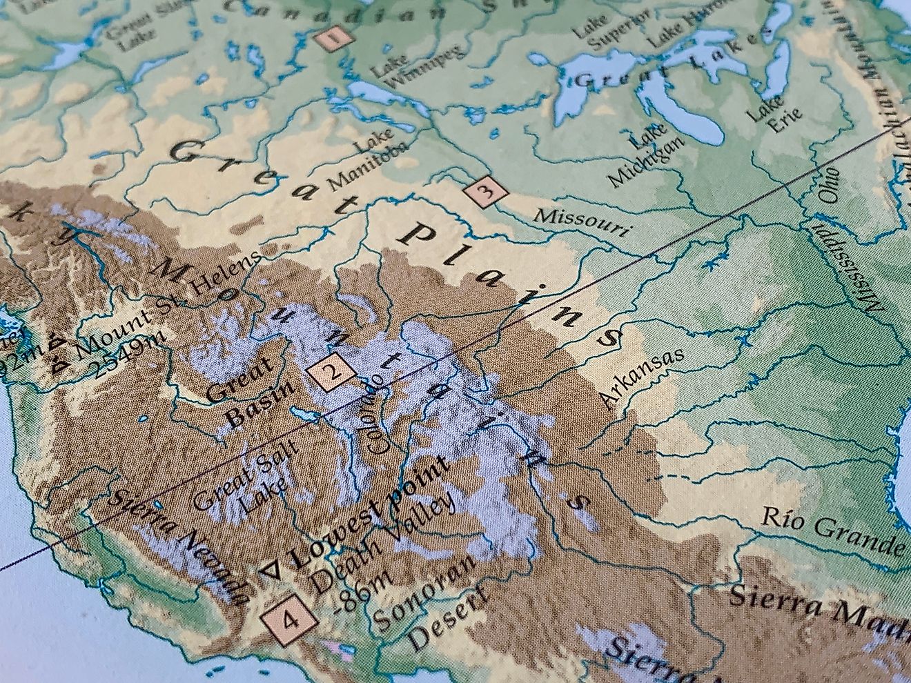
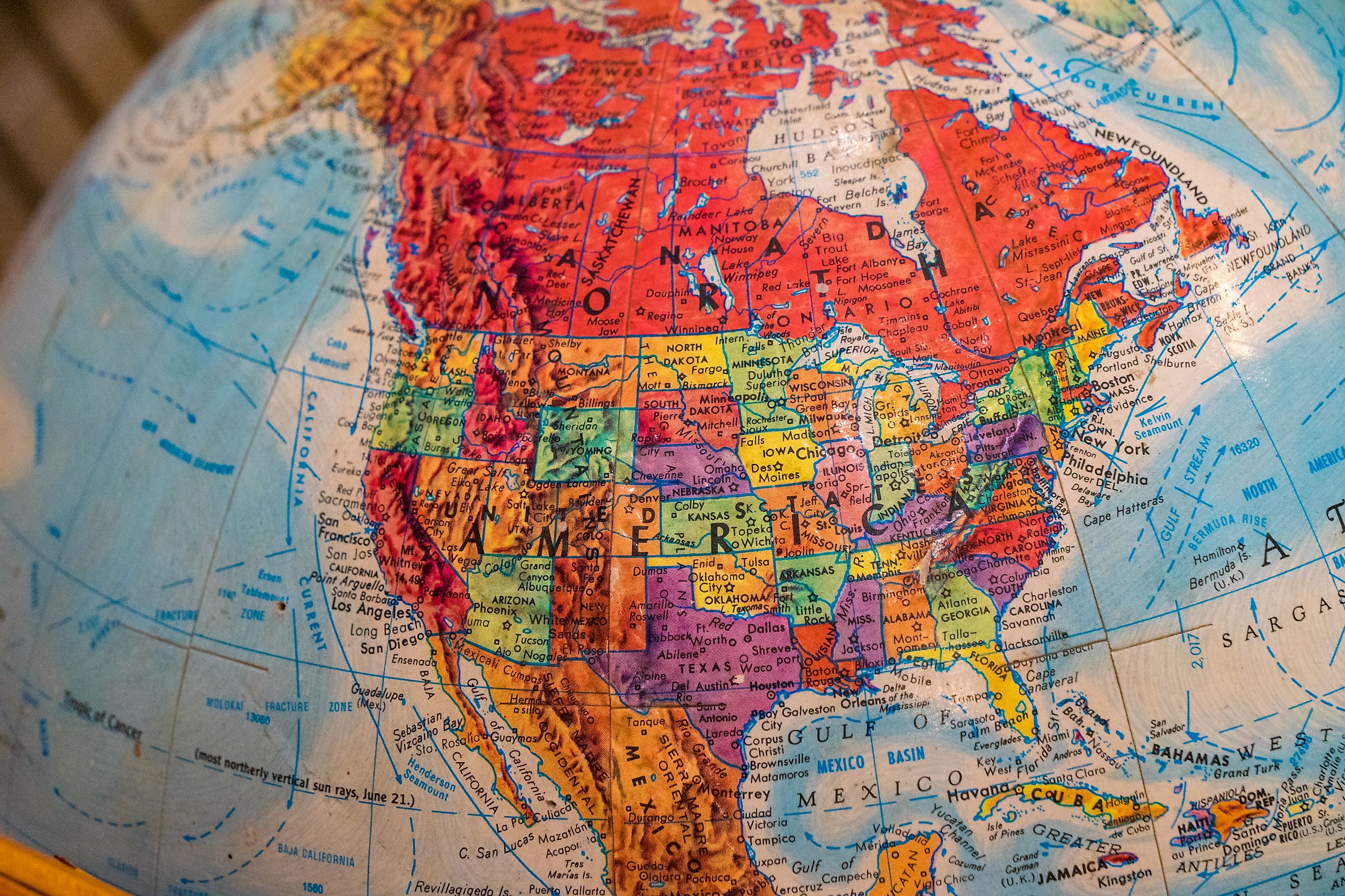
The Northern Hemisphere contains all of the continental United States plus Alaska. This region experiences distinct seasonal changes and is home to a majority of the world’s landmass.
Its Impact
-
Seasonal shifts are shaped by the tilt of the earth, so winters become colder and summers warmer as latitude increases.
-
Weather systems like jet streams and ocean currents move differently north of the equator.
-
Biodiversity patterns differ from those in the Southern Hemisphere because species evolved under different climate influences.
Even Hawaii, which many assume lies near the equator, remains entirely in the Northern Hemisphere. Its tropical climate comes from warm ocean currents rather than equatorial placement.
A Footprint Across the Western Hemisphere

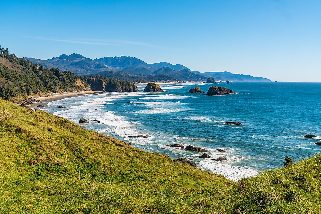
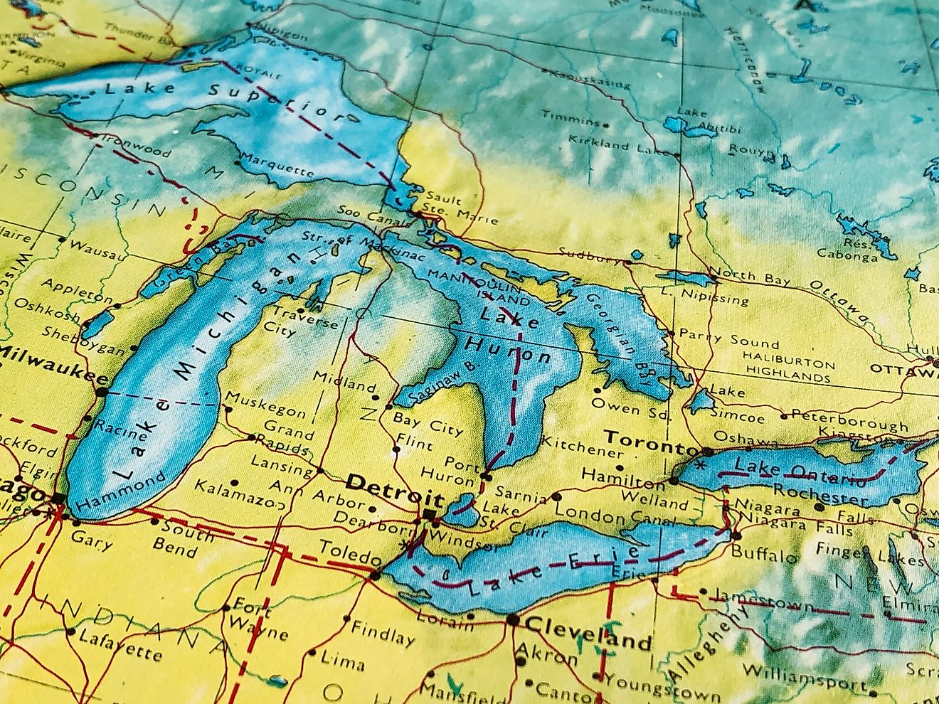
Nearly all of the United States sits in the Western Hemisphere, defined by longitudes west of the Prime Meridian in Greenwich, England. From Maine to California and north to Alaska, the country occupies a massive portion of this half of the world.
What This Means Geographically
-
Most US states share hemisphere space with Canada, Mexico, Central America, and parts of South America.
-
North American weather patterns are shaped by Pacific and Atlantic influences that primarily flow across the Western Hemisphere.
-
Time zones stretch widely due to the country’s position, creating large differences in sunrise and sunset across the nation.
The Western Hemisphere forms the core identity of the country's geographic location.
The Eastern Hemisphere: A Smaller but Significant Reach

A single US location crosses into the Eastern Hemisphere: the islands of Alaska’s Aleutian chain. These rugged volcanic islands cross the 180-degree longitude line, placing part of western Alaska in eastern territory.
This crossover gives the United States a rare geographic distinction. Only a handful of countries occupy both the Eastern and Western Hemispheres entirely through their natural land boundaries.
What This Adds to US Geography
-
The Aleutian Islands highlight the country’s enormous width from east to west.
-
This reach plays a role in military strategy, scientific research, and international timekeeping.
-
The island arc creates a natural bridge between North America and Asia.
Though small in population, these islands expand the country’s hemispheric footprint farther than most nations.
Does Any US Land Fall in the Southern Hemisphere?

Yes. Although the continental states remain far north of the equator, the United States maintains territories that cross into the Southern Hemisphere.
The most notable example is American Samoa, a US territory in the South Pacific. It lies entirely south of the equator and forms the country’s only significant presence in the Southern Hemisphere.
Southern Hemisphere Influence
-
American Samoa operates on a reversed seasonal pattern, with warm months occurring during the Northern Hemisphere’s winter.
-
Marine ecosystems differ dramatically from those north of the equator, featuring coral lagoons and South Pacific species.
-
Its position ties the United States to Pacific island networks with deep cultural and geographic roots.
No other US territory or state extends south of the equator.
A Quick Hemisphere Breakdown
| Region | Northern Hemisphere | Southern Hemisphere | Western Hemisphere | Eastern Hemisphere |
|---|---|---|---|---|
| Continental US | Yes | No | Yes | No |
| Alaska (mainland) | Yes | No | Yes | No |
| Aleutian Islands (part of Alaska) | Yes | No | Yes | Yes |
| Hawaii | Yes | No | Yes | No |
| Puerto Rico | Yes | No | Yes | No |
| Guam | Yes | No | Yes | No |
| US Virgin Islands | Yes | No | Yes | No |
| Northern Mariana Islands | Yes | No | Yes | No |
| American Samoa | No | Yes | Yes | No |
How Hemispheres Influence Climate Across the US

A country spanning this many zones experiences staggering climate diversity. Hemispheres play a major role in shaping the environments that define each region.
Northern Hemisphere Seasons
The pattern is familiar but varies greatly by latitude:
-
Northern states receive long winters and short summers.
-
Southern states experience mild winters and extended warm periods.
-
Pacific and Atlantic coasts see ocean-influenced climates that stay more stable year-round.
These variations allow winter sports in one region and palm trees in another, all under the same national umbrella.
Western Hemisphere Weather Systems
Strong influences come from:
-
Pacific jet streams
-
Atlantic hurricane tracks
-
Arctic air flows
-
Mountain ranges that shape storm paths
The country’s western-to-eastern spread exposes it to multiple climate systems that rarely interact in smaller nations.
Southern Hemisphere Seasons in American Samoa
American Samoa follows a tropical climate but with southern seasonal patterns:
-
Warmer and wetter during Northern Hemisphere winter
-
Slightly cooler and drier during Northern Hemisphere summer
This distinction creates a unique seasonal rhythm within the United States’ territorial footprint.
Why This Hemisphere Mix Matters

Hemispheres influence far more than seasonal weather. Geography has direct connections to science, culture, economics, and global interaction.
Global Time Zones
Alaska’s eastern boundary and the Aleutian crossing affect how US time zones line up internationally. The International Date Line zigzags to keep communities aligned with the same calendar day.
Biological Diversity
Hemispheric differences shape ecosystems. Species in Alaska, California, Florida, Hawaii, and American Samoa evolved under distinct environmental pressures.
Navigation and Mapping
Long-distance travel, shipping routes, and aviation follow hemisphere-based coordinates. The United States’ spread across so many lines of longitude creates unique mapping challenges.
Research and Environmental Monitoring
Northern regions like Alaska play crucial roles in Arctic climate science. Southern regions like American Samoa support coral reef and tropical ecosystem research.
Cultural Connections
Territories in different hemispheres maintain traditions tied to their geographic surroundings, adding to the country’s cultural variety.
How Hemispheres Affect Daylight and Seasons in the US

Daylight patterns shift dramatically because of hemisphere placement. The Northern Hemisphere receives more daylight in summer and less in winter due to earth’s tilt.
Far Northern Extremes
Alaska experiences:
-
Midnight sun in summer
-
Extended darkness in winter
Latitude determines the strength of these effects. Fairbanks and Utqiagvik have vastly different daylight cycles despite being in the same state.
Lower Latitude Zones
States like Texas, Georgia, and California see moderate seasonal daylight shifts compared to northern regions.
Tropical Patterns
Hawaii experiences some of the smallest daylight variations among all US states because it lies closer to the equator.
Southern Hemisphere Influence in American Samoa
American Samoa follows the opposite daylight trend from the continental states, with slightly longer daylight periods during the Northern Hemisphere’s winter.
Why Some Hemispheres Are Rarely Mentioned

Most education centers on the Northern and Western Hemispheres because that is where almost all US land lies. The Eastern and Southern Hemispheres come up less often simply because only small portions of US territory extend into them.
Yet those small outliers carry major geographic significance. Few countries can claim a presence in three hemispheres, and even fewer reach into four. The United States comes close, connecting to nearly the entire global grid.
A Country With Global Reach
The United States spans across hemispheres in ways that reveal a story of diversity, reach, and geographic influence. The continental states and Alaska form a massive presence in the Northern and Western Hemispheres. Hawaii and the Caribbean territories strengthen that northern footprint. The Aleutian Islands push into the Eastern Hemisphere, and American Samoa extends into the Southern Hemisphere.
This blend makes the country not just large, but globally connected through land, climate, ecosystems, and international timekeeping. A single nation reaches across the horizon in every direction, touching nearly every major geographic divide on earth.