The Major Rivers That Flow Through Texas
Texas is a land defined by water as much as by its vast skies and rugged plains. While it is often associated with deserts, ranches, and rolling prairies, rivers play an essential role in shaping the state’s history, economy, and natural beauty. From the Red River forming the northern border to the Rio Grande carving its way along the southwest, Texas is laced with waterways that nourish farms, fuel cities, and provide endless opportunities for outdoor adventure.
Take a look at five of the most significant rivers that flow through Texas, exploring their origins, their routes, their economic and ecological importance, and the activities that make each one worth a visit. Whether you are a history buff, an angler, or a road-tripper with a love of scenic routes, these rivers tell the story of Texas in moving, winding chapters.
Rio Grande
-
Length: 1,896 miles (approximately 1,250 miles from the Texas border)
-
Source: San Juan Mountains, Colorado
-
Mouth: Gulf of America
-
Key Texas Cities: El Paso, Laredo, McAllen, Brownsville
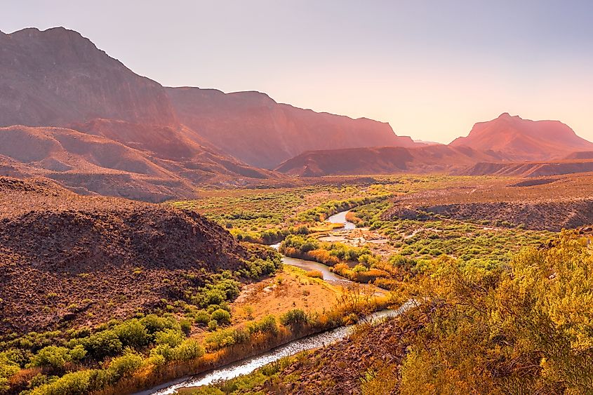
The Rio Grande is more than just a river. It is a boundary, a lifeline, and a corridor of culture stretching from the high deserts of New Mexico to the warm waters of the Gulf. Forming much of the border between Texas and Mexico, this iconic waterway has been a stage for centuries of history, from early Native American settlements to Spanish exploration and modern international trade.
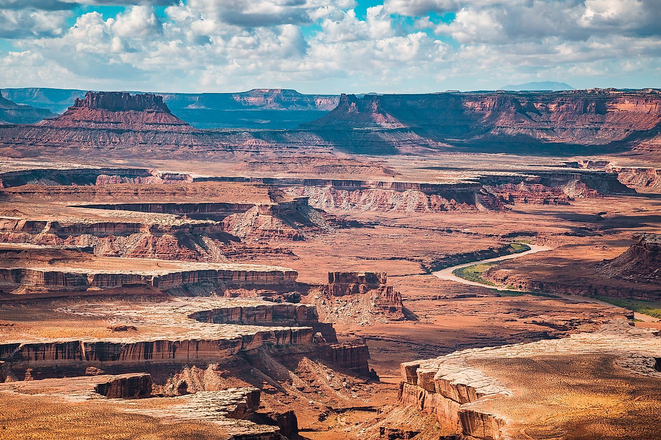
In Texas, the Rio Grande supports agriculture in the fertile Rio Grande Valley, nourishes citrus groves and vegetable fields, and sustains communities along its banks. For travelers, the river is a gateway to some of the state’s most dramatic landscapes, including the towering canyons of Big Bend National Park. Here, the river snakes between sheer cliffs that rise hundreds of feet above the water, creating a breathtaking backdrop for kayaking, rafting, and hiking along the rugged desert trails.
Wildlife thrives along the Rio Grande corridor, with migratory birds flocking to its riparian zones. In winter, birdwatchers gather in places like Santa Ana National Wildlife Refuge to spot colorful warblers, hawks, and even the elusive green jay.
Red River
-
Length: 1,360 miles (approximately 640 miles along the Texas border)
-
Source: Palo Duro Creek, Texas Panhandle
-
Mouth: Mississippi River (via the Atchafalaya and Red River systems)
-
Key Texas Cities: Wichita Falls, Clarksville, Paris
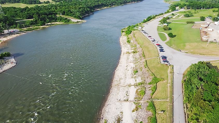
Flowing along the Texas-Oklahoma border, the Red River takes its name from the distinctive reddish silt that colors its waters. Its banks have long been a natural dividing line, marking not only the edge of Texas but also serving as a historical flashpoint in disputes between nations and states. The river was once the subject of territorial debates between the United States and Spain, and later between Texas and Oklahoma.
Today, the Red River is an essential water source for agriculture in northern Texas, supporting crops like cotton, wheat, and peanuts. It also provides a variety of outdoor opportunities. Anglers cast for catfish and bass in its muddy waters, while campers pitch tents on sandy bars beneath wide, star-filled skies.
One of the river’s most picturesque stretches runs near Lake Texoma, a massive reservoir shared between Texas and Oklahoma. This lake draws millions of visitors each year for boating, fishing, and waterside relaxation. Farther west, the river cuts through the canyons of the Texas Panhandle, including the celebrated Palo Duro Canyon State Park, often called the “Grand Canyon of Texas.”
Brazos River
-
Length: 1,280 miles
-
Source: Blackwater Draw, New Mexico (flows into Texas near Lubbock)
-
Mouth: Gulf of America, near Freeport, Texas
-
Key Texas Cities: Waco, College Station, Richmond
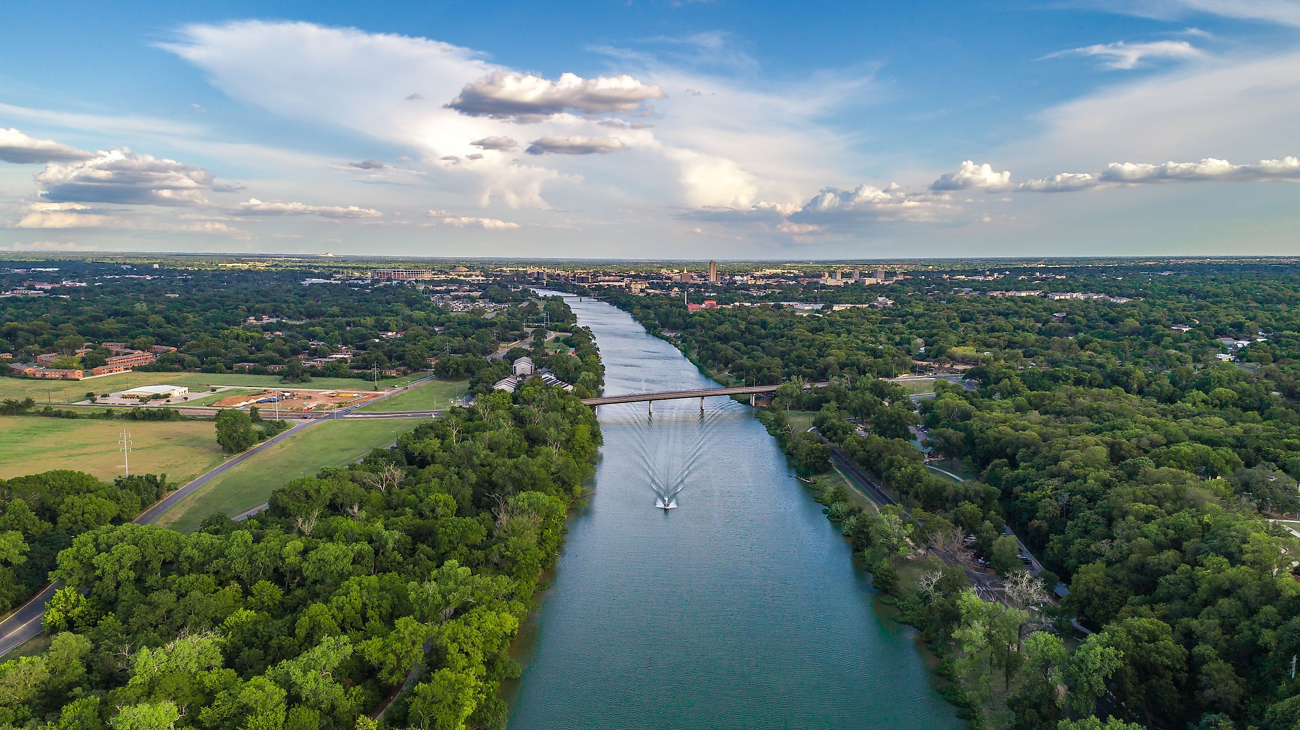
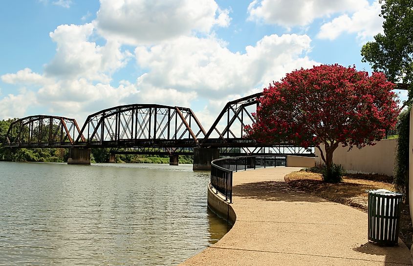
The Brazos River is one of the longest rivers entirely within the United States, and it is deeply woven into the cultural and historical fabric of Texas. Its name, derived from the Spanish word for “arms,” hints at the protection and sustenance it has provided for centuries. Early settlers relied on its waters for irrigation, and it served as a lifeline for ranches and towns throughout central Texas.
Flowing southeast across the heart of the state, the Brazos touches college towns, farmlands, and wildlife habitats before emptying into the Gulf of America. It passes through Waco, where the historic Waco Suspension Bridge still spans its waters, and near College Station, home to Texas A&M University.
The Brazos River corridor offers many recreational options, from paddling trips that wind through limestone bluffs to fishing for largemouth bass. In summer, tubing on certain stretches is a favorite pastime. The river’s floodplains and wetlands also provide crucial habitat for migratory birds and native fish. Conservation efforts are ongoing to maintain its health, as urbanization and agricultural demands place pressure on its flow.
Colorado River (of Texas)
-
Length: 862 miles
-
Source: Llano Estacado, Dawson County, Texas
-
Mouth: Matagorda Bay, Gulf of Mexico
-
Key Texas Cities: Austin, Bastrop, Columbus, Bay City
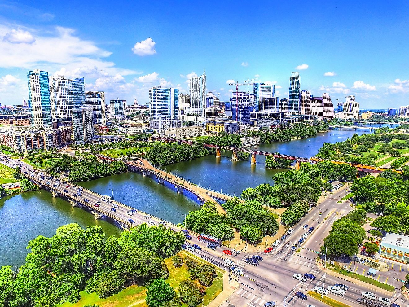
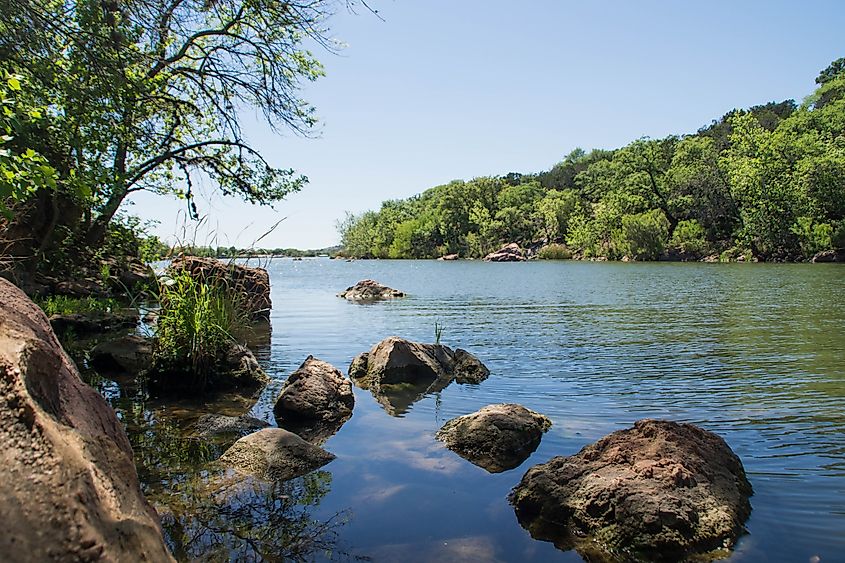
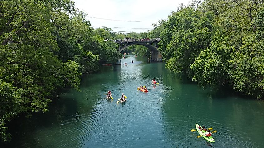
Not to be confused with the more famous Colorado River that carved the Grand Canyon, the Texas Colorado River is a major waterway in its own right. Flowing entirely within the state, it begins in the high plains and travels southeast, nourishing farms, towns, and cities along its route. Austin, the state capital, owes much of its scenic charm to this river, which forms Lady Bird Lake and Lake Austin within city limits.
Dams along the Colorado River create a chain of reservoirs known as the Highland Lakes, a recreational haven for boating, fishing, and lakeside living. Downstream, the river meanders past cypress-lined banks and historic towns before reaching the Gulf at Matagorda Bay.
The Colorado River supports both urban life and rural economies, providing water for rice fields near the coast and generating hydroelectric power. Kayakers and canoers often explore its quieter stretches, where herons stalk the shallows and bald eagles soar overhead.
Trinity River
-
Length: 710 miles
-
Source: North Texas, near Red River Basin
-
Mouth: Trinity Bay, near Galveston, Texas
-
Key Texas Cities: Fort Worth, Dallas, Liberty
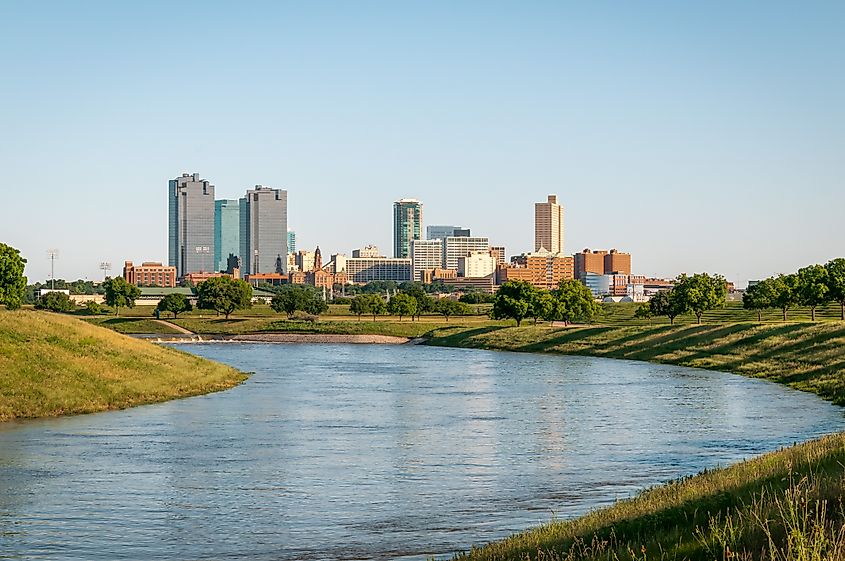
The Trinity River winds through some of Texas’s most densely populated areas, including the Dallas-Fort Worth metroplex. Despite its urban setting, the river retains stretches of wild beauty, especially as it flows south toward the Gulf. For centuries, it has served as a vital water source for communities in North and East Texas.
In recent years, major restoration projects have revitalized sections of the Trinity, creating urban green spaces and paddling trails that attract residents and visitors. In Dallas, the Trinity River Audubon Center provides access to wetlands and trails teeming with birdlife, while downstream, anglers cast for catfish and crappie in its backwaters.
The river’s watershed is essential for managing flood control and water supply in a rapidly growing region. It also serves as a reminder that even in the heart of a sprawling metroplex, nature flows close by.
Planning Your River Journey
Traveling along Texas rivers requires a bit of planning, as distances are vast and weather conditions can vary widely. Summers are hot, particularly in central and southern Texas, making spring and fall ideal for outdoor activities. Always check river flow levels before paddling or fishing, as water levels can fluctuate with rainfall and reservoir releases.
Major cities like Austin, Dallas, and El Paso provide easy access to these rivers, with plenty of amenities for travelers. In rural areas, expect fewer services but often more striking natural scenery.
If you are planning a Texas road trip or an outdoor adventure, these rivers offer something for everyone:
-
Kayaking and Canoeing: The Rio Grande and Colorado River are popular for paddling, with outfitters offering guided trips and rentals.
-
Fishing: Catfish, bass, and crappie are abundant in the Red and Trinity Rivers, while the Brazos is known for largemouth bass.
-
Birdwatching: The Rio Grande Valley is a world-class birding destination, and the Trinity River Audubon Center attracts nature lovers year-round.
-
Camping and Hiking: Big Bend National Park on the Rio Grande and Palo Duro Canyon along the Red River both feature excellent camping and hiking.
-
Historical Sites: Explore old trading posts, mission ruins, and historic bridges along these river corridors.
The Lifeblood of the Lone Star State
Texas without its rivers would be a far different place. These waterways shape borders, create fertile valleys, and provide the backdrop for both everyday life and extraordinary adventures. Whether you are watching the sunrise over the Rio Grande in Big Bend, fishing along the Red River at dusk, or paddling through Austin on the Colorado, each river offers a story as wide and winding as Texas itself.
Frequently Asked Questions About Texas Rivers
How many major rivers are in Texas?
There are 15 major rivers in Texas, but the five covered in this article are among the most important for history, population, and recreation.
Which Texas river is the longest?
The Rio Grande is the longest, stretching nearly 1,900 miles, with about 1,250 miles forming the Texas-Mexico border.
Can you swim in Texas rivers?
Yes, swimming is common in many rivers, especially in the Brazos, Colorado, and Guadalupe Rivers. Always check local safety guidelines and watch for currents.
Which Texas river is best for fishing?
The Red River is popular for catfish and striped bass, while the Brazos and Trinity also provide excellent freshwater fishing.
Are Texas rivers safe for kayaking?
Most are safe in designated stretches, especially those with established outfitters. Water conditions can change quickly after heavy rain, so always check levels first.
