Columbia River
Water defines the American Northwest, and no river tells that story better than the Columbia. Stretching more than 1,200 miles from the Rocky Mountains of British Columbia to the Pacific Ocean at Astoria, Oregon, the Columbia River is both a natural wonder and a powerful economic engine. It carves canyons, powers cities, feeds farmland, and carries a history as deep as its current.
This river is more than just a waterway; it’s the thread that binds together the landscape, culture, and economy of the Pacific Northwest.
A River That Crosses Borders and Landscapes

The Columbia River begins quietly in Columbia Lake, high in the Rocky Mountains of southeastern British Columbia, at about 2,700 feet above sea level. From there, it winds northwest, then curves south into Washington, carving out valleys and sweeping through plateaus shaped by ice, lava, and time.
By the time it reaches the Pacific Ocean, the river has traveled roughly 1,240 miles and drained an area of 258,000 square miles. That vast basin covers most of the Pacific Northwest, a region defined by dramatic contrasts in elevation, climate, and ecology.
Two-fifths of the river lies in Canada, but its influence reaches deep into the United States, touching the lives, industries, and environments of seven states: Washington, Oregon, Idaho, Montana, Wyoming, Nevada, and Utah.
Where the River Runs: A Snapshot of Its Course

Below is a simplified view of the Columbia River’s journey:
| Section | Key Features | Notable Tributaries |
|---|---|---|
| Upper Columbia (British Columbia) | Mountain valleys, forested slopes, glacial origins | Kootenay River |
| Middle Columbia (Washington) | The Big Bend, Grand Coulee, deep basalt canyons | Spokane, Okanogan, Yakima |
| Lower Columbia (Oregon-Washington border) | Columbia River Gorge, estuary, hydroelectric dams | Snake, Willamette, Cowlitz |
Each section tells a chapter in the river’s story, from glacial carving and ancient floods to modern engineering and environmental restoration.
The Landscape the Columbia Built

The Columbia’s journey is as dramatic as the land it shapes. In central Washington, the river curves through the “Big Bend,” a sweeping arc that cuts across a landscape of sagebrush and basalt. This area bears scars of ancient floods that once tore through the region during the Ice Age, carving out the Channelled Scablands (vast tracts of coulees, ravines, and dry cataracts that still astonish geologists).
The most famous of these formations is Grand Coulee, a steep-walled gorge that later became the site of one of America’s greatest engineering projects: the Grand Coulee Dam.
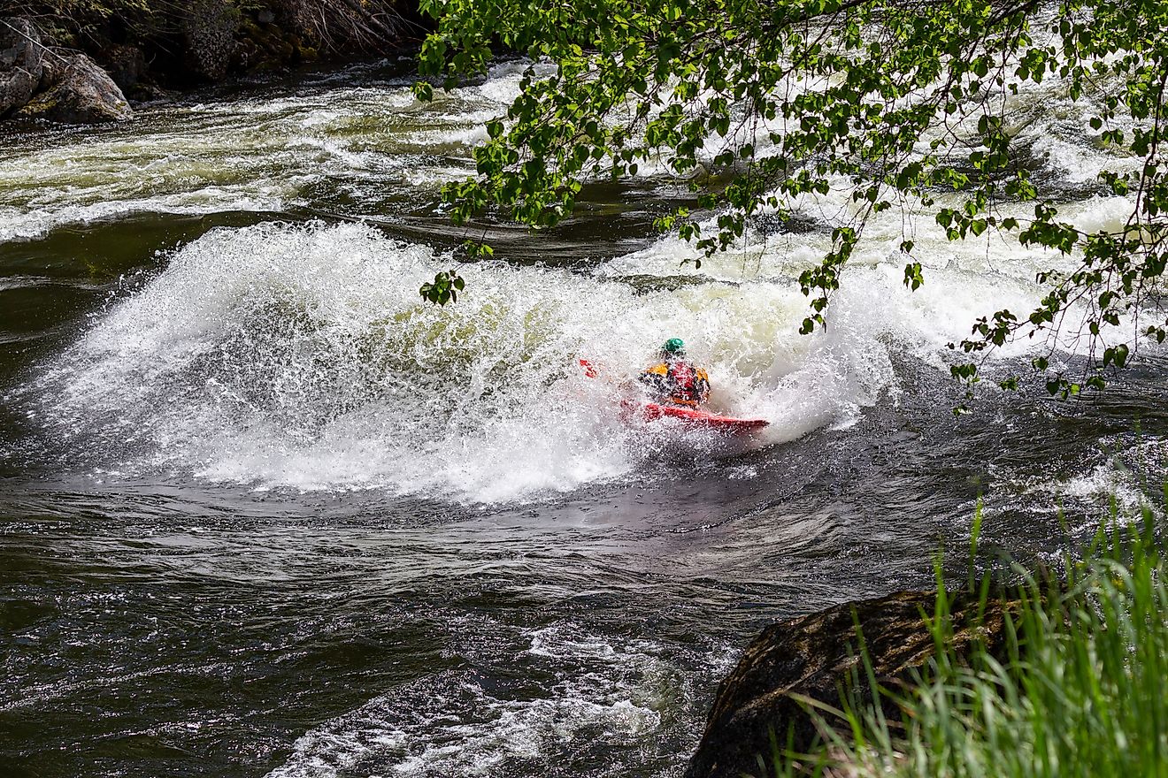
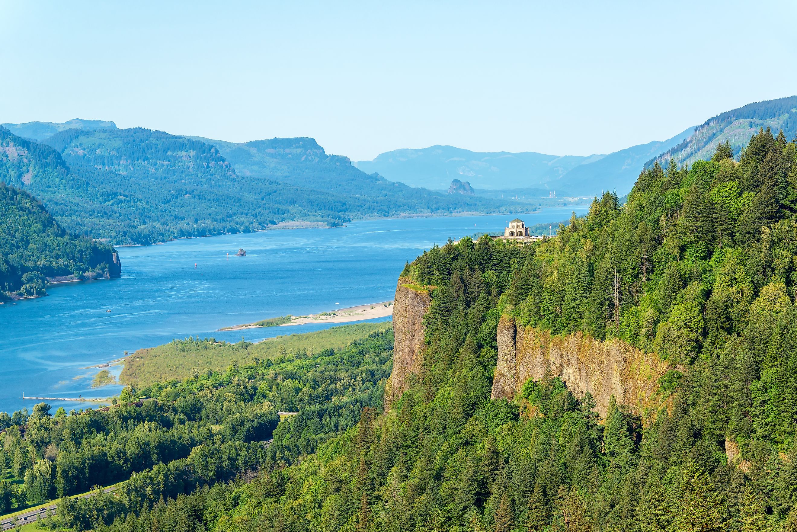
Farther downstream, the Columbia punches through the Cascade Range, forming the spectacular Columbia River Gorge, a natural border between Oregon and Washington. Here, cliffs rise hundreds of feet above the water, waterfalls cascade through mossy forests, and wind funnels down the valley, creating one of the best windsurfing regions in the world.
Powering the Pacific Northwest

The Columbia River is often called the “working river” of the West. It’s one of the most harnessed and productive waterways on Earth.
Its hydroelectric potential is immense. The river and its tributaries produce roughly one-third of all US hydropower. This energy system powers homes, industries, and farms across the Pacific Northwest and beyond.
Starting in the 1930s, massive federal projects transformed the Columbia into a network of reservoirs and power stations.
Key developments include:
-
Grand Coulee Dam: The largest hydroelectric power plant in North America, completed in 1942. It provides irrigation water and generates power for millions.
-
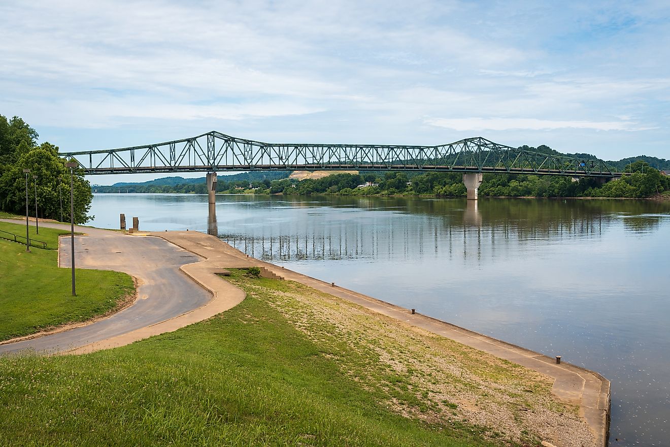
Bonneville Dam: Completed in 1937 near Portland, Oregon. Its locks allow ocean-going ships to reach far inland ports like Vancouver, Washington, and even Lewiston, Idaho.
-
John Day, The Dalles, and McNary Dams: Built mid-century to expand hydroelectric output and improve navigation.
Together, these projects turned the Columbia into a “staircase” of reservoirs, each one designed to generate electricity, prevent floods, and support navigation.
An Engine of Agriculture

Hydroelectric power was only part of the transformation. Irrigation changed the region’s economy forever.
Before the dams, much of eastern Washington and Oregon was dry sagebrush country. The Columbia Basin Irrigation Project, supplied by water from the Grand Coulee Dam, turned millions of acres into farmland.
Today, the basin grows wheat, potatoes, apples, hops, and other crops that fuel the region’s agricultural success. The river’s water also sustains orchards and vineyards across the Pacific Northwest, giving rise to one of America’s most productive and diverse agricultural zones.
A River Rich in Culture and History

Long before dams and trade routes, the Columbia was a lifeline for Indigenous nations who lived along its banks for thousands of years. The river’s salmon runs were among the most abundant on Earth, feeding entire communities and shaping their spiritual traditions.
Tribes such as the Yakama, Nez Perce, Umatilla, and Warm Springs relied on the river’s rhythm. Fishing grounds at Celilo Falls were central to their way of life, both a food source and a gathering place for trade and ceremony.
That heritage still runs deep, though much changed with the construction of dams, which flooded many ancestral fishing sites and disrupted salmon migration. Today, tribes and environmental groups work together to restore habitats and revive salmon populations.
The Salmon’s Struggle and the River’s Renewal

The Columbia once supported legendary salmon runs (millions of fish returning from the Pacific to spawn each year). By the late 19th century, canneries lined the riverbanks, exporting salmon worldwide.
Overfishing, habitat loss, and the construction of dams took a heavy toll. The first fish ladders were installed at Bonneville Dam in the 1930s to help salmon migrate upstream, but even with decades of conservation work, many species remain threatened.
Current restoration efforts focus on:
-
Improving fish passage through dams and reservoirs
-
Rehabilitating spawning grounds in tributaries
-
Reducing water temperature and pollution
-
Supporting hatchery programs while maintaining wild salmon populations
The story of the Columbia’s salmon is one of resilience, both for the species and for those working to restore balance to the river’s ecosystem.
A Climate of Contrasts

The Columbia River basin spans multiple climates, shaped by mountain ranges that influence weather patterns. East of the Cascades, summers are dry and hot, with mild winters. West of the mountains, rain dominates; a product of moist Pacific air that rises and cools over the peaks.
Average annual precipitation varies dramatically:
-
Less than 8 inches in the arid basin center
-
Up to 40 inches or more in mountain regions
This range explains why sagebrush deserts exist only a few hundred miles from temperate rainforests all within the same watershed.
Wildlife and Wilderness

The Columbia supports ecosystems as diverse as its terrain. In the drier interior, sagebrush steppe and bunchgrasses once covered vast plains, while higher elevations support pine, fir, and larch forests.
Along riverbanks, willows and cottonwoods thrive. West of the Cascades, dense forests of Douglas fir and western red cedar dominate.
Wildlife remains abundant in many areas. Bald eagles, ospreys, and herons patrol the skies, while elk, deer, and black bears roam upland forests. Yet some species, particularly salmon and beavers, have faced steep declines since the region’s development.
Efforts to protect these habitats through conservation areas, wildlife refuges, and sustainable forestry continue to shape the Columbia’s modern identity.
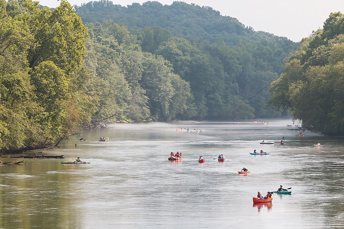
Trade, Travel, and Navigation

The Columbia’s role as a transportation corridor began long before railroads or highways. Indigenous traders, followed by fur trappers, explorers, and settlers, used the river as a vital route to the Pacific.
In 1792, American sea captain Robert Gray sailed into its mouth and named it for his ship, the Columbia Rediviva. A decade later, Lewis and Clark followed the river to the ocean during their famed expedition.
Throughout the 19th century, the river became the Northwest’s main commercial artery. Steamboats carried goods and passengers until railroads took over in the late 1800s.
Today, a system of locks and channels allows barges to travel 460 miles inland to Lewiston, Idaho. This is an engineering feat that keeps the Columbia one of America’s most important inland waterways.
A River of Connection and Controversy

Few rivers have sparked as much debate as the Columbia. Every dam, treaty, and policy reflects a delicate balance between energy, environment, and culture.
The Columbia River Treaty of 1961, signed between the US and Canada, remains a landmark agreement governing flood control and power generation. It continues to shape how both nations share the river’s resources.
Modern discussions often focus on how to maintain a balance between sustaining energy production and protecting fish runs, cultural heritage, and the environment.
Fast Facts About the Columbia River
| Fact | Detail |
|---|---|
| Length | 1,240 miles |
| Drainage Basin | 258,000 square miles |
| Main Tributaries | Snake, Willamette, Yakima, Spokane, Cowlitz |
| Major Dams | Grand Coulee, Bonneville, John Day, The Dalles |
| Flow Rate | 265,000 cubic feet per second (average discharge) |
| Deepwater Port | Astoria, Oregon |