The Arkansas River
The Arkansas River is one of North America’s great rivers, tracing a path from the high Rockies to the Mississippi River. It has witnessed centuries of human history and shaped vast landscapes along its route. From snowmelt in Colorado to the fertile plains of eastern Arkansas, the river provides vital water resources, recreational opportunities, and a window into the continent’s geological and ecological story.
At 1,469 miles long, it ranks as the sixth-longest river in the United States and is the second-longest tributary in the Mississippi-Missouri system.
Headwaters in the Rockies, Snow and Stone

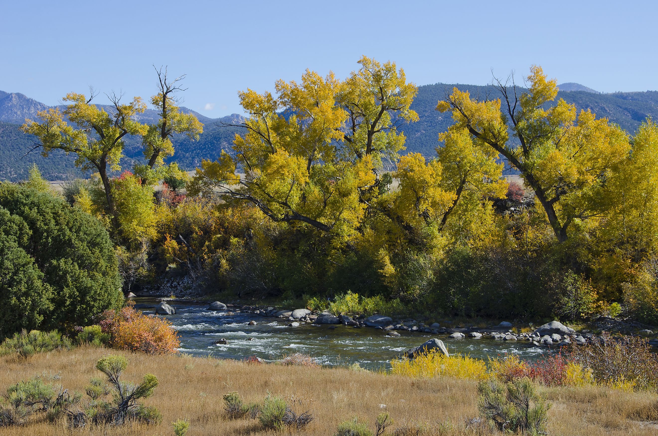
The Arkansas River begins high in the Rocky Mountains near Leadville, Colorado. Snowpack from the Sawatch and Mosquito ranges feeds its streams, creating a steep, fast-flowing mountain river. Over its first 120 miles, the river drops 4,600 feet through a narrow valley, carving canyons and shaping cliffs in its path. Granite and metamorphic rock dominate this section, giving the river its classic whitewater character.
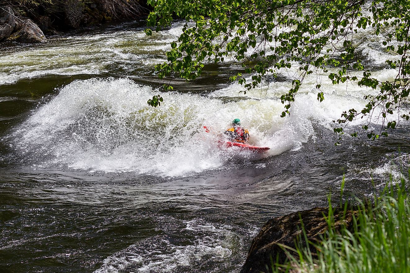
This upper section supports some of the country’s premier whitewater rafting, including challenges like The Numbers, Brown’s Canyon, and the Royal Gorge. Anglers have long sought the river’s headwaters for exceptional trout fishing. Greenback cutthroat trout once dominated these waters in the 19th century, while brown and rainbow trout are now abundant. The Arkansas River has remained a top trout stream in America since the 1950s, attracting guides and fly shops to Buena Vista, Salida, Cañon City, and Pueblo.
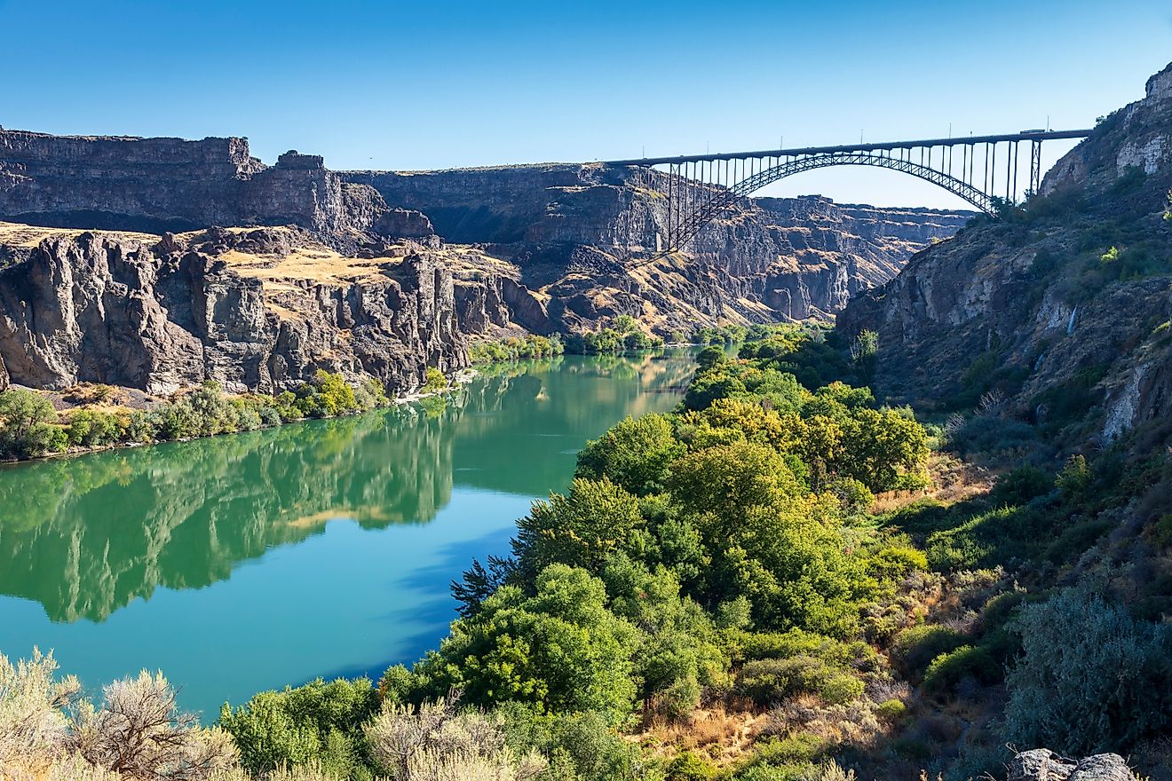
Crossing Colorado’s Plains, Flowing to Kansas

Beyond Cañon City, the river valley widens, transitioning from rugged mountains to the open plains of central Colorado. Just west of Pueblo, the river enters the Great Plains, where its channel becomes wider, shallower, and more prone to seasonal fluctuations. Tributaries like the Cimarron and Salt Fork Arkansas rivers join the main stem, creating a network of waterways feeding agriculture and local communities.
Groundwater pumping in eastern Colorado and western Kansas has dramatically reduced flow in some areas, with measurements showing a drop from an average of 248 cubic feet per second in the mid-20th century to 53 cubic feet per second in the early 2000s. Despite these reductions, the river remains vital for irrigation, municipal water, and recreation. Cities along the Arkansas River, such as Canon City, Pueblo, La Junta, and Lamar in Colorado, as well as Garden City, Dodge City, Hutchinson, and Wichita in Kansas, have long depended on its flow.
Oklahoma: Locks, Dams, and Navigation

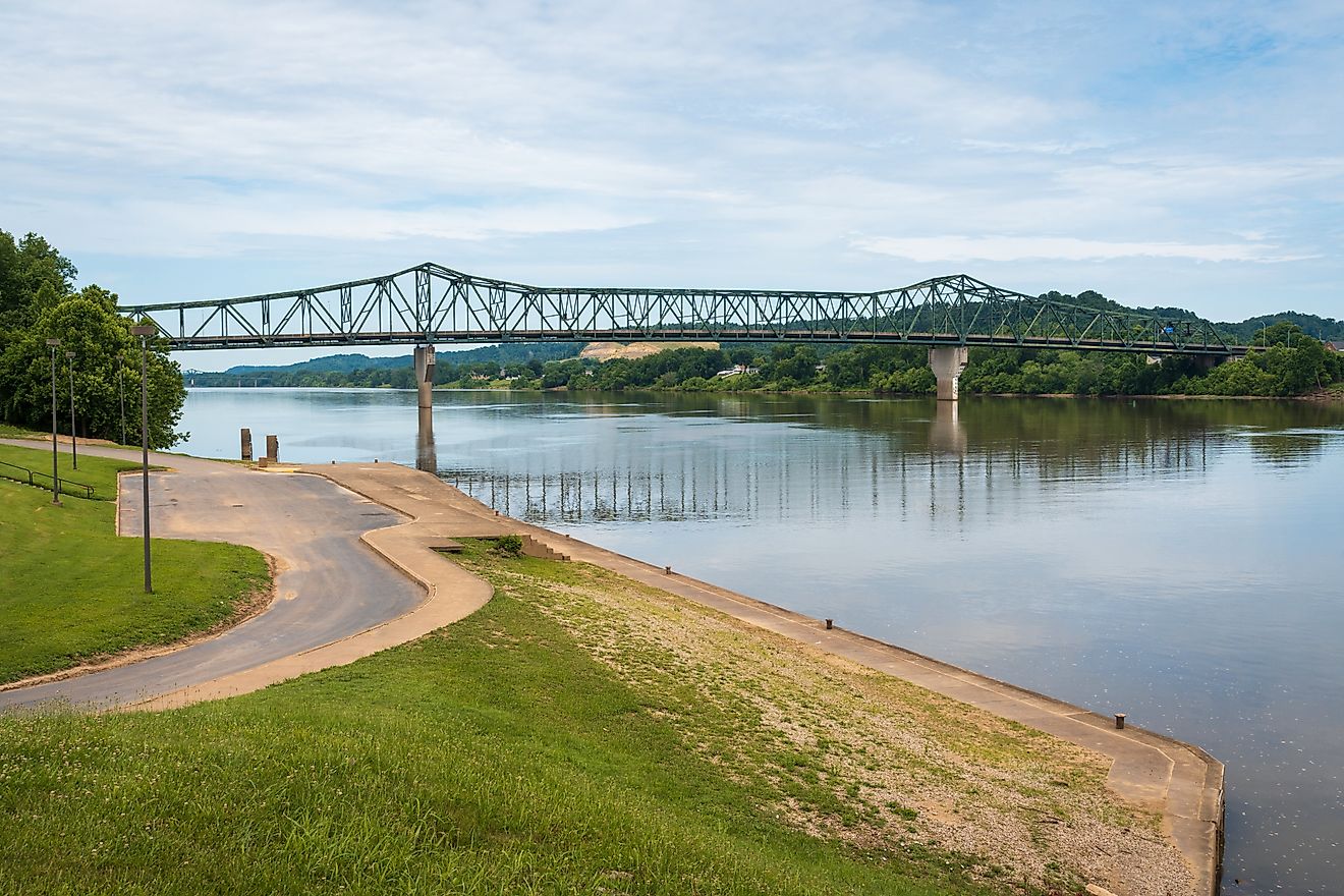
As the river enters Oklahoma, it widens further and is modified with a series of locks and dams along the McClellan-Kerr Arkansas River Navigation System. These reservoirs, including those on the Canadian, Verdigris, Neosho (Grand), Illinois, and Poteau rivers, create a reliable navigable channel for barges and large river craft. Muskogee marks the start of this navigable stretch, where commerce and industry rely on the Arkansas as a vital transportation route.
In this section, the river becomes a mix of controlled flow and natural channels, threading through wetlands and lowland forests. Its waters sustain fish, birds, and other wildlife, maintaining habitats even as human infrastructure reshapes the landscape. The Arkansas has also seen dramatic events, such as the May 2002 I-40 bridge collapse over the Kerr Reservoir near Webbers Falls, which highlighted the river’s ongoing importance to regional transportation and public safety.
Arkansas: Mountains, Mesas, and Meandering Plains

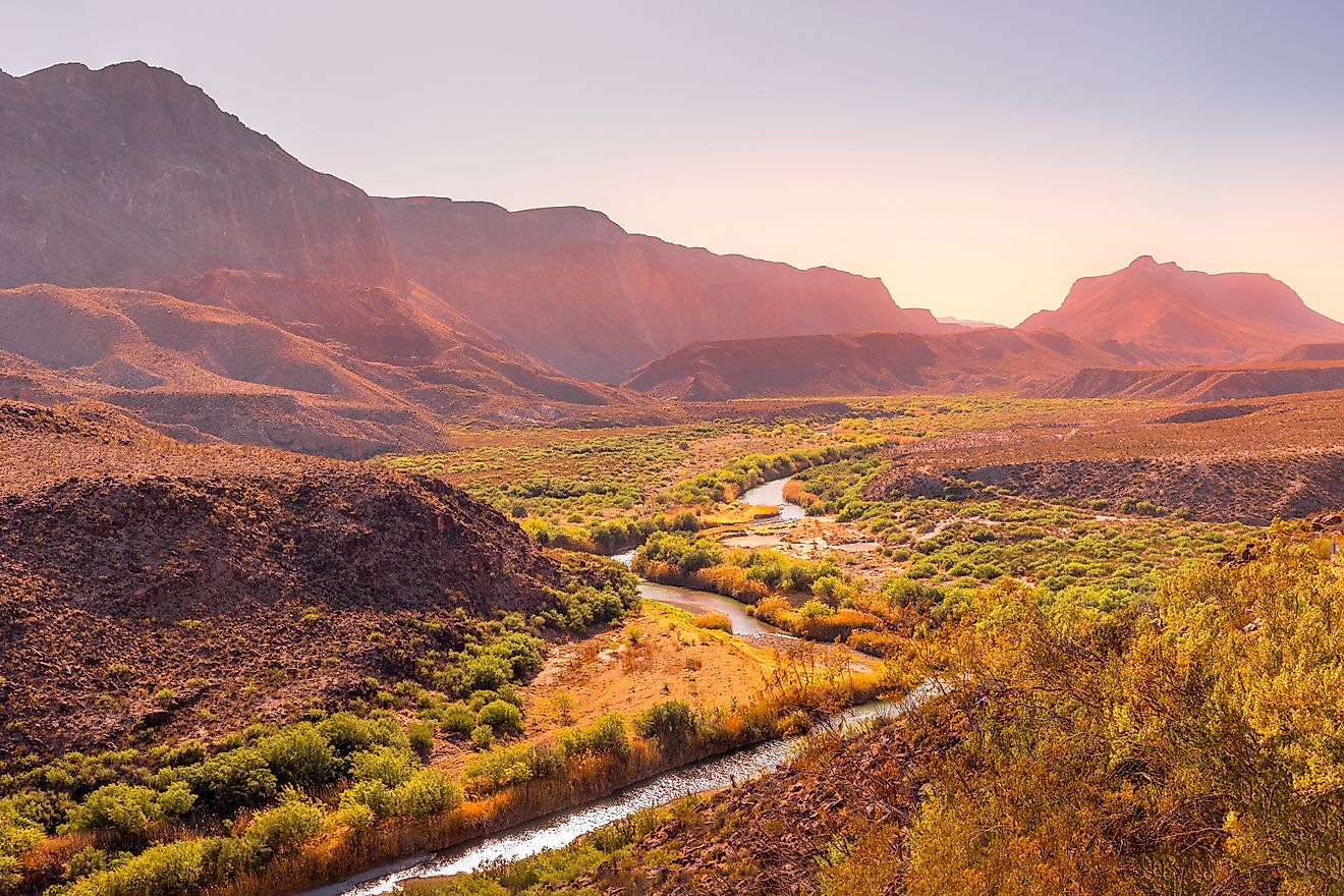
Crossing into western Arkansas, the river threads between the Boston and Ouachita mountains, where isolated mesas, buttes, and monadnocks like Mount Nebo, Petit Jean Mountain, and Mount Magazine rise from the valley. Here, the river valley expands once more as it approaches Little Rock, flowing across a mixture of plains and forests. By the time the Arkansas reaches its mouth at Napoleon, Arkansas, the river has traveled through mountains, plains, and valleys, shaping communities and ecosystems alike.
Dams and reservoirs in this section regulate flow, support hydroelectric power, and prevent flooding. Despite human modification, the river retains stretches of natural habitat that sustain fish, migratory birds, and other wildlife. Floodplains along the lower Arkansas are lush and fertile, offering some of the most productive agricultural land in the region.
Historical Currents: Borders, Gold, and Settlement

The Arkansas River’s history is deeply tied to exploration, trade, and settlement. From 1821 until the Texas Annexation and the Treaty of Guadalupe Hidalgo, the Arkansas formed part of the US-Mexico border west of the 100th meridian.
Leadville’s 1859 gold discovery brought miners to the river’s upper valley. While placer gold deposits were quickly exhausted, the region experienced a mining boom that contributed to Colorado’s growth. Along its course, the river facilitated settlement and commerce in Kansas, Oklahoma, and Arkansas, connecting plains communities to the Mississippi and the wider nation.
Flowing History in Rocks and Meanders

The Arkansas River’s course has shifted over millennia. Sediments in a paleo-channel near Nolan in the Tensas Basin reveal the river’s meanders dating back to 3200 BCE. This relict channel predates nearby Mississippi River meanders by centuries, showing the dynamic history of North America’s waterways.
The river’s bedrock varies from ancient granite and metamorphic formations in the Rockies to limestone and alluvial deposits across the Great Plains. This geological diversity supports a wide array of aquatic habitats and provides insight into the region’s ancient climate, erosion patterns, and sediment transport.
Recreation on the Arkansas River

Whitewater Rafting
The upper Arkansas River in Colorado is world-famous for rafting, with class III to V rapids that challenge even experienced paddlers. Rapid names like Brown’s Canyon and The Numbers draw adventure seekers, while calmer sections allow first-time rafters to enjoy the scenery.
Fishing
Trout fishing remains a major draw. Brown and rainbow trout dominate the upper stretches, while rainbow, catfish, and bass populate downstream sections. Colorado Parks and Wildlife posts regular fishing reports to track river conditions and fish populations.
Boating and Water Sports
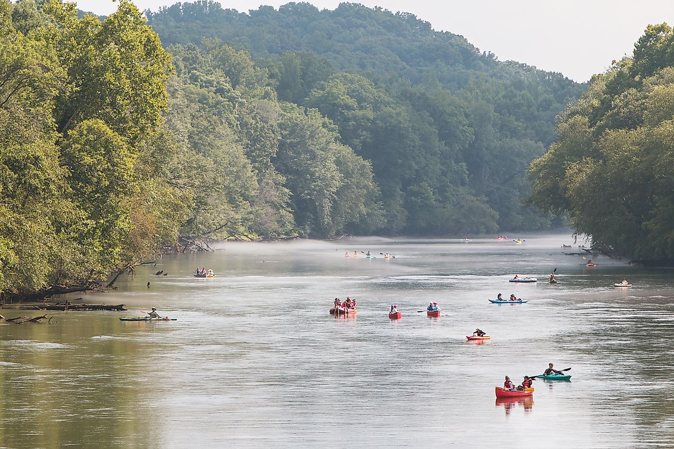
In Oklahoma and Arkansas, reservoirs and navigable sections provide opportunities for boating, kayaking, and water sports. The river’s controlled flow in these regions makes it safe for larger watercraft and family recreation.
Wildlife and Observation
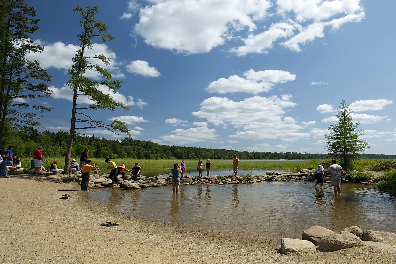
The Arkansas River supports diverse habitats, including wetlands, floodplain forests, and upland riparian zones. Birdwatchers may spot herons, egrets, and migratory waterfowl along the riverbanks, while mammals such as deer and beavers thrive in the surrounding woods.
Ecological and Environmental Significance

The river’s 170,000-square-mile drainage basin influences water supply, soil fertility, and biodiversity across four states. Seasonal flooding replenishes sediments in floodplains, sustaining farmland and natural wetlands. While groundwater pumping has reduced flows in some regions, conservation efforts focus on maintaining aquatic habitats and water quality for fish, wildlife, and human use.
The Arkansas River also provides a living laboratory for geologists, ecologists, and hydrologists, illustrating the interplay between human infrastructure and natural river dynamics. Its history of channel changes, sediment deposition, and ecosystem diversity continues to inform research and management.
Major Cities Along the Arkansas River

-
Colorado: Canon City, Pueblo, La Junta, Lamar
-
Kansas: Garden City, Dodge City, Hutchinson, Wichita
-
Oklahoma: Tulsa, Muskogee
-
Arkansas: Fort Smith, Little Rock
These cities highlight the river’s ongoing role in commerce, transportation, and recreation. Bridges, locks, and ports along the Arkansas are integral to regional economies while the river continues to shape the landscape.
America’s Artery of Water

The Arkansas River is far more than a line on a map. It connects mountains to plains, communities to commerce, and history to the present. Its waters have carved valleys, supported settlements, and shaped ecosystems for millennia. From Colorado’s snowy peaks to the Mississippi River in Arkansas, the Arkansas illustrates the power and persistence of flowing water. Seasonal changes, geological diversity, and historical significance make it one of the most fascinating rivers in North America. Whether measured in miles, cubic feet of water, or cultural impact, the Arkansas River continues to define the regions it crosses.
Quick Facts Summary Chart
| Feature | Details |
|---|---|
| Length | 1,469 miles |
| States | Colorado, Kansas, Oklahoma, Arkansas |
| Source | Arkansas River Valley, Colorado |
| Mouth | Mississippi River, Napoleon, Arkansas |
| Drainage Basin | 170,000 square miles |
| Mean Discharge | 40,000 cubic feet per second |
| Pronunciation | ar-KAN-zəs (Kansas), AR-kən-saw (other states) |
| Headwaters Rock Type | Granite, metamorphic rock |
| Plains Rock Type | Limestone, alluvial deposits |
| Navigation | McClellan-Kerr Arkansas River Navigation System |