The Red River
The Red River winds 1,290 miles from the high plains of eastern New Mexico through Texas, Oklahoma, Arkansas, and Louisiana, before merging with the Atchafalaya River on its way to the Gulf of America. Its striking red-tinged waters have shaped ecosystems, commerce, and culture for centuries. Beyond a geographic feature, it functions as a connector of landscapes, histories, and communities, carrying stories of engineering triumphs, ecological diversity, and recreational opportunities.
Covering a drainage area of roughly 93,000 square miles, the Red River brings together dry highlands, fertile valleys, and marshy bayous. Its path demonstrates how rivers can simultaneously shape and respond to human and natural activity.
Origins and Upper Reaches: Water in the High Plains

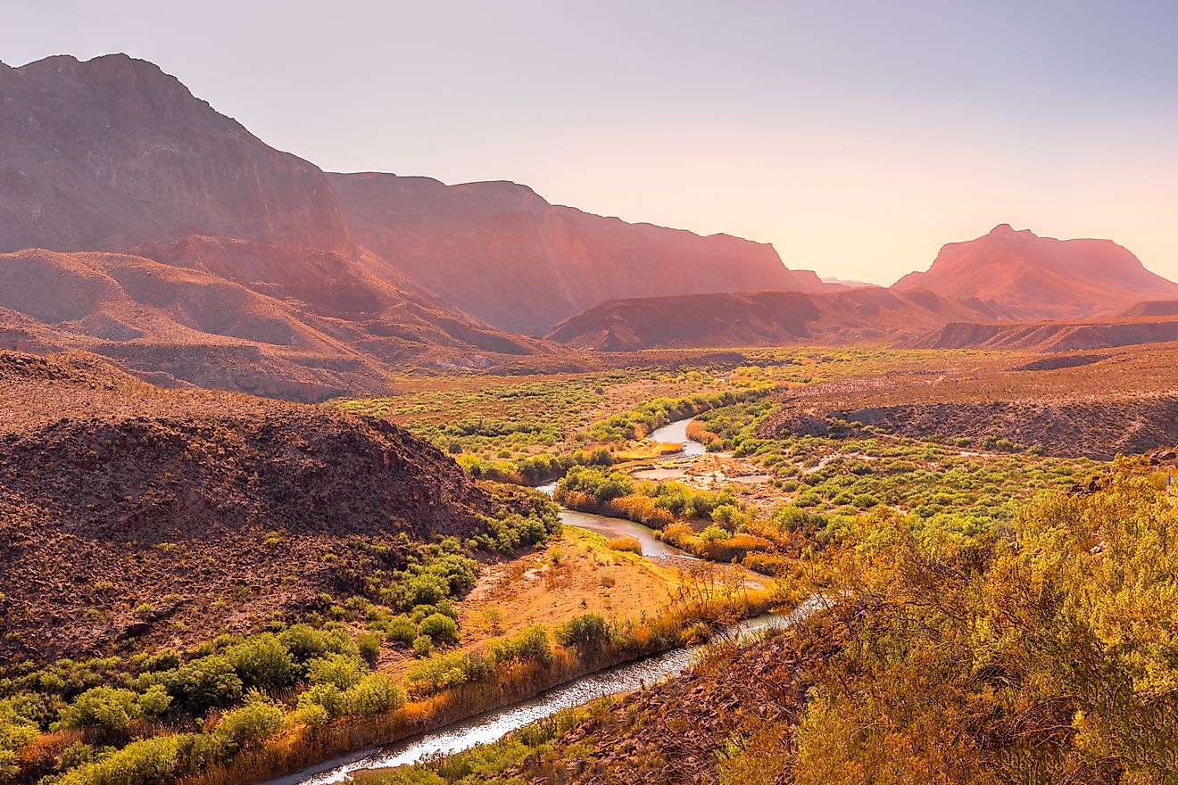
The Red River begins in the high plains of eastern New Mexico. Its early stretches gather waters from the North Fork, Kiamichi, and Wichita rivers, flowing through arid landscapes and forming riparian corridors that support local flora and fauna.
-
North Fork of the Red River: Provides seasonal flow and sediment contribution
-
Kiamichi River: Cuts through the Ouachita Mountains, enhancing biodiversity
-
Wichita River: A major feeder in Texas, sustaining wetlands and riparian zones
Even in its upper reaches, the river has influenced settlement patterns, agriculture, and ecosystems. Dry plains communities have relied on its waters for livestock, irrigation, and local biodiversity, making it a lifeline in an otherwise sparse environment.
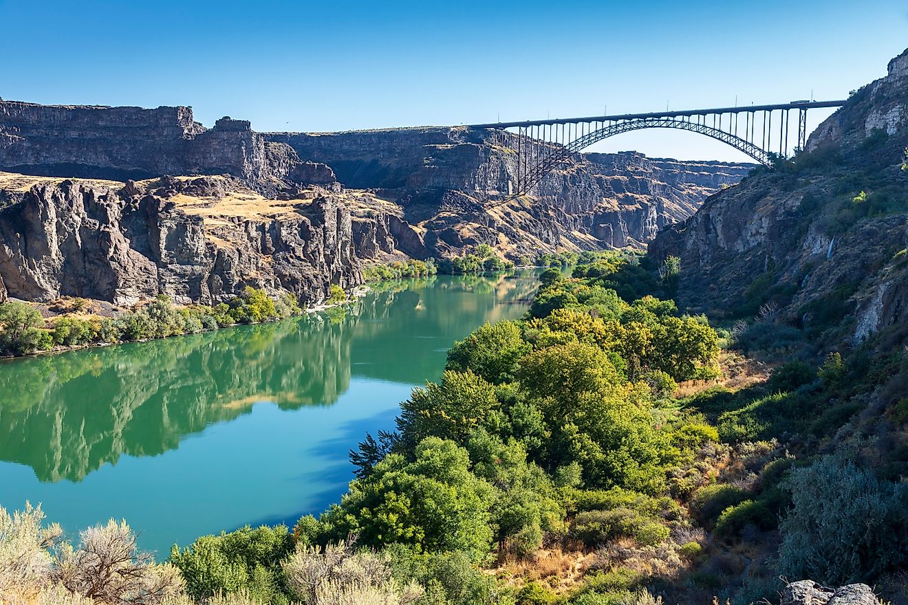
The Red River as a Natural Border

For about half its length, the Red River forms the Texas-Oklahoma boundary. Its reddish hue comes from iron oxide-rich sediments, creating a visual signature that marks both natural and political divisions.
Historically, the river supported early trade and navigation. Flatboats and early steamboats transported goods along its lower stretches, though navigation upstream faced major obstacles.
Clearing the Great Raft: Engineering Milestones

The Great Raft, a 160-mile log jam, blocked navigation above Natchitoches, Louisiana. Removing it required ingenuity.
-
1830s: Henry Miller Shreve develops snag boats to clear the river
-
1873: A second log jam is cleared, expanding navigability
-
Impact: Opened critical trade routes, spurred local economies, and set the stage for modern river management
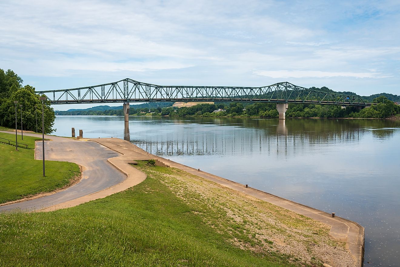
Seasonal navigation is restricted, as vessels with a draft over 4 feet can travel upstream only during select months. Most commercial activity concentrates in the lower 35 miles near Louisiana.
Managing the Flow

Human intervention shaped the Red River’s waters through reservoirs and dams to control flooding and support communities:
-
Denison Dam (1944): Creates Lake Texoma, regulating flow and providing recreation
-
Tributary Reservoirs: Built on the Sulphur, Pease, Bodcau, and Cypress rivers for flood management and water storage
Flood-control programs balance ecological health with human needs, protecting towns and farmland while maintaining habitats for aquatic species.
Tributaries and Habitats: Nature’s Network

The Red River’s tributaries sustain diverse ecosystems:
-
Black River (Louisiana): Hardwood forests and wetland habitat
-
Kiamichi River (Oklahoma): Supports fish, migratory birds, and amphibians
-
Bodcau and Cypress Bayous: Natural flood moderation and sediment filtration
Sediment transport, seasonal flooding, and riparian corridors sustain fertile lands and vibrant ecological zones, highlighting the river’s role beyond mere water transport.
History Along the Banks

The Red River has carried cultures as much as water. Indigenous communities relied on its fish and plant resources for centuries, forming the foundation of local lifeways. Early European settlements established trade posts along its banks, creating a corridor of exchange that shaped the region’s development.
Today, modern towns honor this heritage through festivals, conservation initiatives, and recreational programs. The river’s cultural significance is deeply intertwined with its ecological and economic roles, creating a multidimensional corridor that continues to influence the communities along its path.
Connecting to the Gulf

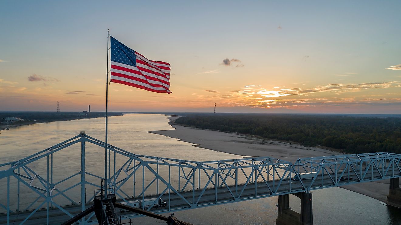
The Red River now feeds into the Atchafalaya River northwest of Baton Rouge, channeling its waters toward Atchafalaya Bay and eventually the Gulf of America. Historically, the river was linked to the Mississippi through the Old River, but mid-20th-century flood-control projects redirected its flow to reduce the risk of flooding. Despite these changes, the lower stretches of the Red River continue to serve as an important route for navigation and commerce, supporting transport and trade in the region.
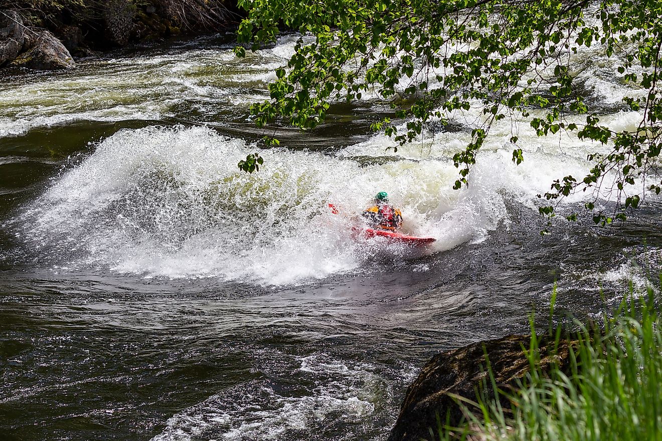
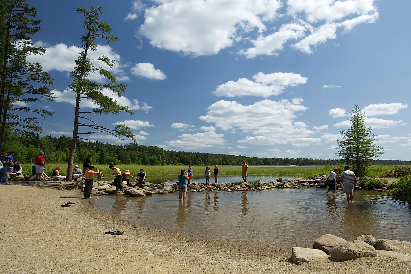
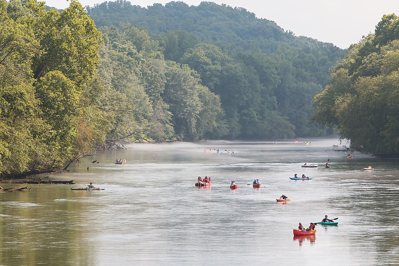
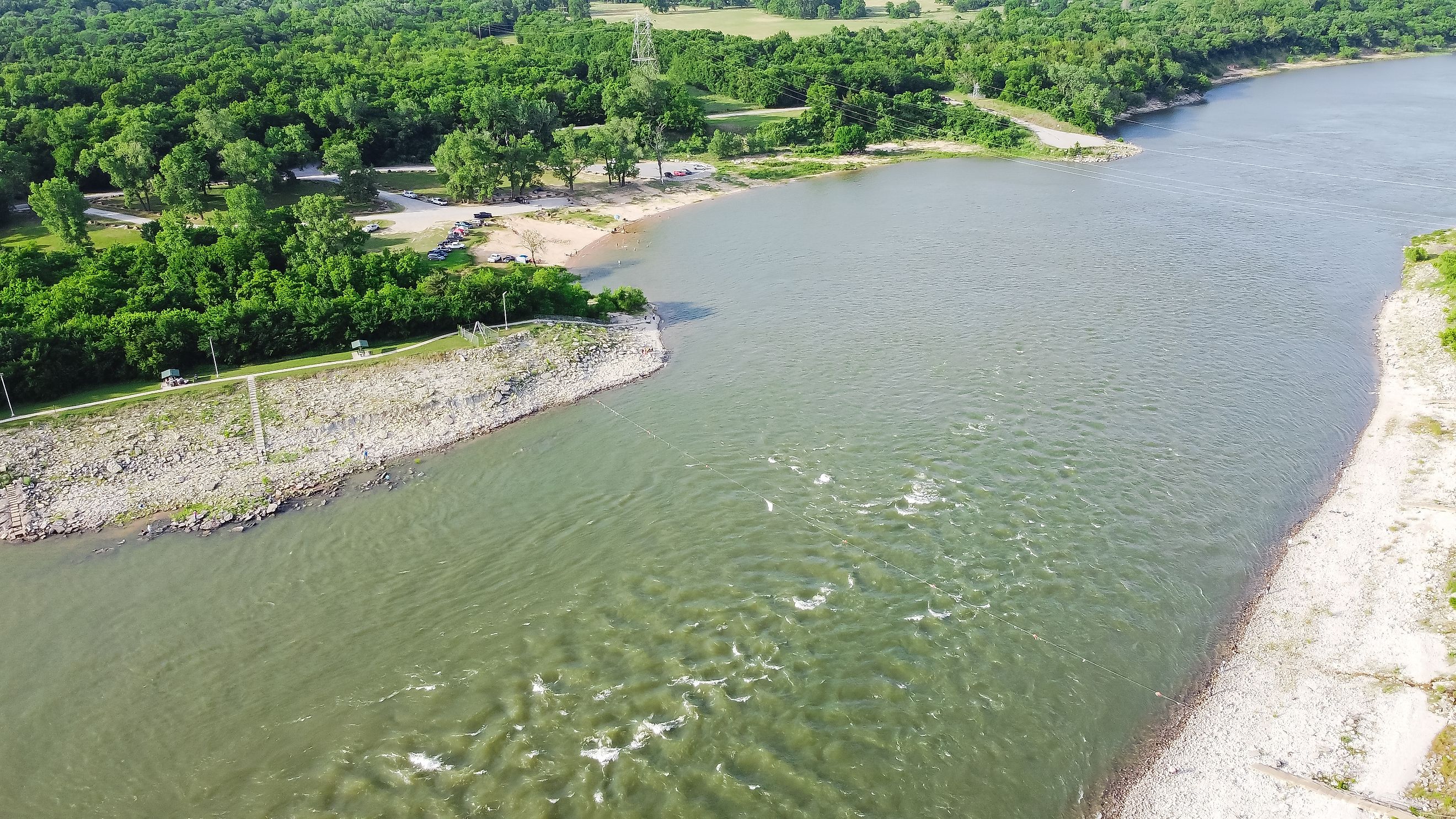
Adventure on the Red

While commercial navigation has declined upstream, recreational opportunities have grown:
-
Fishing: Bass, catfish, and crappie abound along Texas and Louisiana stretches
-
Boating: Canoeing, kayaking, and paddleboarding highlight natural landscapes
-
Events: Fishing tournaments and wildlife observation programs engage communities
Conservation efforts monitor water quality and habitats, ensuring recreational use supports ecological health.
Challenges and Preservation

Environmental pressures on the Red River include agricultural runoff that affects water quality, sedimentation that alters flow patterns, and habitat loss that impacts wildlife. Restoration programs target wetlands, native species, and the maintenance of diverse flow patterns. Sustaining the river demands a careful balance between ecological management and human use, integrating recreation, commerce, and conservation to protect its health and legacy.
Flowing Through Time: The Legacy of the Red River

The Red River is a dynamic blend of geography, engineering, and culture. Its waters trace a story of human ingenuity, ecological richness, and historical importance. Beyond commerce and recreation, it continues to shape landscapes, sustain wildlife, and link communities across multiple states.
From its high plains origins to its marshy terminus, the Red River demonstrates resilience and adaptability. Engineering projects and conservation efforts work in tandem to preserve its natural flow and ecological balance. The river remains a living corridor, connecting land, history, and life in a powerful, ongoing narrative.
The Red River in Numbers
| Feature | Detail |
|---|---|
| Length | 1,290 miles |
| Drainage Area | 93,000 square miles |
| Major Tributaries | North Fork, Kiamichi, Washita, Wichita, Sulphur, Pease, Bodcau, Cypress |
| Reservoirs | Denison Dam (Lake Texoma), multiple tributary reservoirs |
| Navigable Length | Lower 35 miles commercial, upstream seasonal access |
| States | New Mexico, Texas, Oklahoma, Arkansas, Louisiana |