US States You Didn’t Know Had Deserts
When Americans think of deserts, the Southwest usually comes to mind. Arizona, New Mexico, and southern California are often synonymous with dramatic canyons, sun-bleached sand dunes, and sizzling temperatures. But deserts in the United States are not confined to these areas. Some of the country's most surprising arid landscapes are hiding in states that are typically associated with mountains, forests, or farmland.
In fact, deserts exist in states that most people wouldn't associate with aridity at all. From the rolling Sandhills of Nebraska to the lava-strewn plains of Idaho, these regions may not match the stereotypical desert, but they meet the criteria: low precipitation, limited vegetation, and unique ecosystems shaped by extreme environmental conditions.
What Defines a Desert?
Deserts are typically classified based on precipitation, not just heat. A true desert:
-
Receives less than 10–20 inches of annual precipitation
-
Features sparse vegetation due to water scarcity
-
Has high evaporation rates, often exceeding precipitation
-
Experiences temperature extremes, particularly in cold deserts
These characteristics form the basis for identifying deserts in unexpected places across the US.
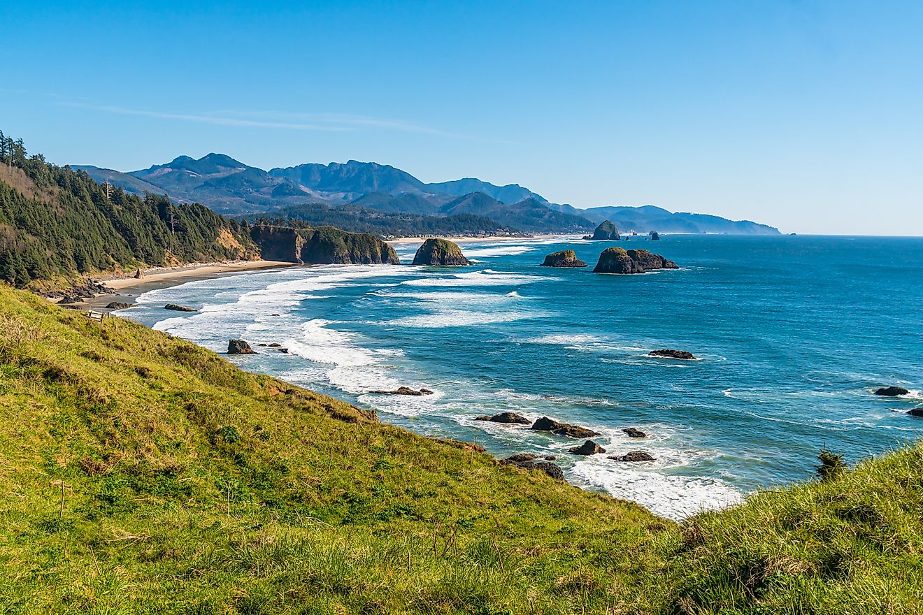
Oregon

When most think of Oregon, they picture rainforests, rivers, and the coastal mist. But cross the Cascade Range and the landscape flips dramatically.
Eastern Oregon is home to the Oregon High Desert, a vast region of sagebrush plains, salt flats, and dry lakebeds. This cold desert sees less than 10 inches of annual rainfall and experiences hot summers with bitterly cold winters.
Key geographic features include:
-
The Alvord Desert, a shimmering playa beneath the towering Steens Mountain
-
Fort Rock, a volcanic landmark rising out of the flat landscape like a stone sentinel
The desert influences rural economies in this region, where ranching thrives in open ranges and recreation draws photographers, stargazers, and solitude-seekers.
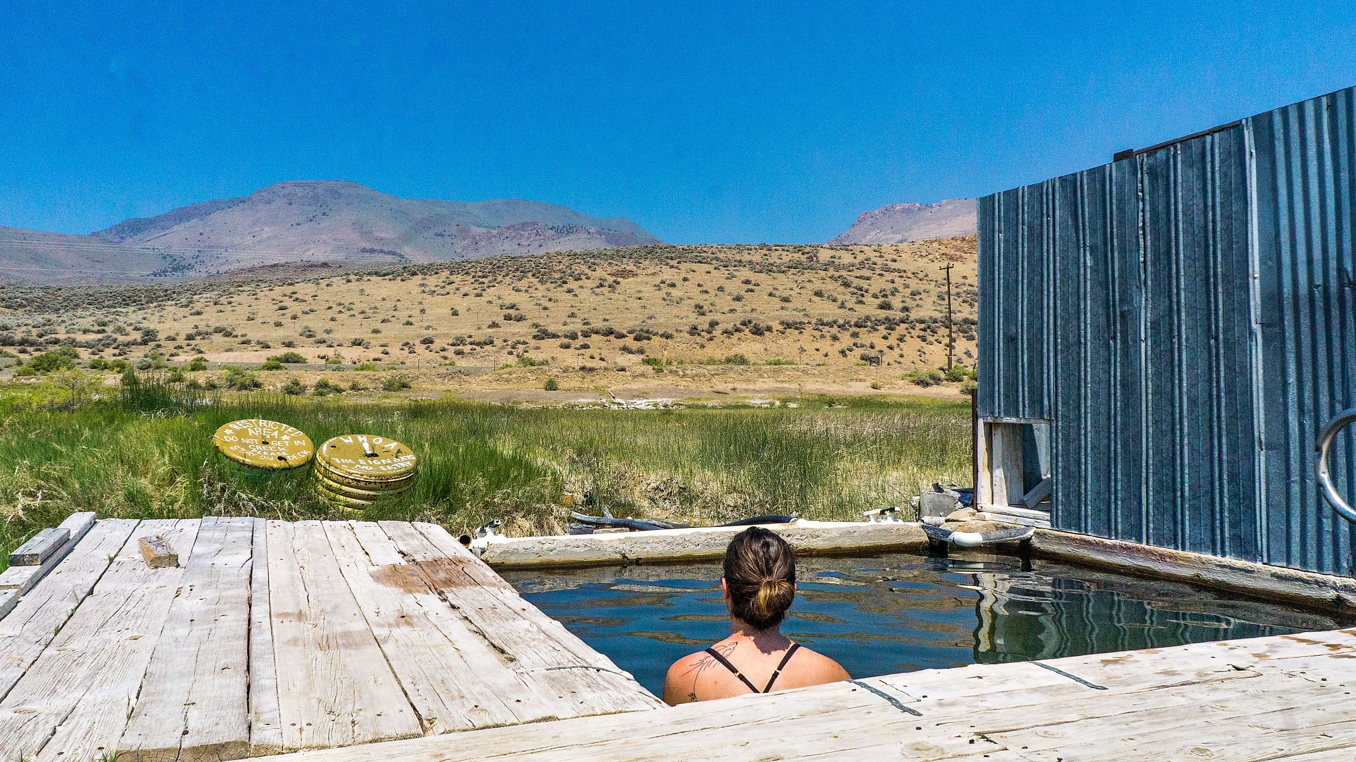
Idaho

Idaho’s rugged peaks and alpine lakes tend to overshadow its southern plains. But look closer, and you’ll discover expanses of high desert.
Southern Idaho lies in the cold volcanic desert zone of the Snake River Plain. The area is arid, wind-swept, and shaped by past lava flows. Most of it receives under 12 inches of annual rainfall.
Notable desert landscapes include:
-
Craters of the Moon National Monument, a vast volcanic field with cinder cones and lava tubes
-
Bruneau Sand Dunes, the tallest single-structured dunes in North America
While much of Idaho’s desert land supports irrigated agriculture, vast stretches remain undeveloped, offering unique geological and recreational value.
Washington

The Pacific Northwest is famed for its evergreens and rain-soaked coastline. But just east of the Cascades lies a surprising desert: the Columbia Basin.
This region, which includes cities like Yakima and Tri-Cities, receives as little as 6 inches of rain annually. It's classified as a shrub-steppe desert, dominated by hardy vegetation like sagebrush and bunchgrass.
Key landscapes include:
-
Hanford Reach National Monument, a preserved expanse of desert and river corridor
-
Dry coulees and lava plateaus, remnants of ancient floods and volcanic activity
Despite its arid climate, this desert supports one of the most productive agricultural zones in the nation, thanks to the Columbia Basin Project’s extensive irrigation.
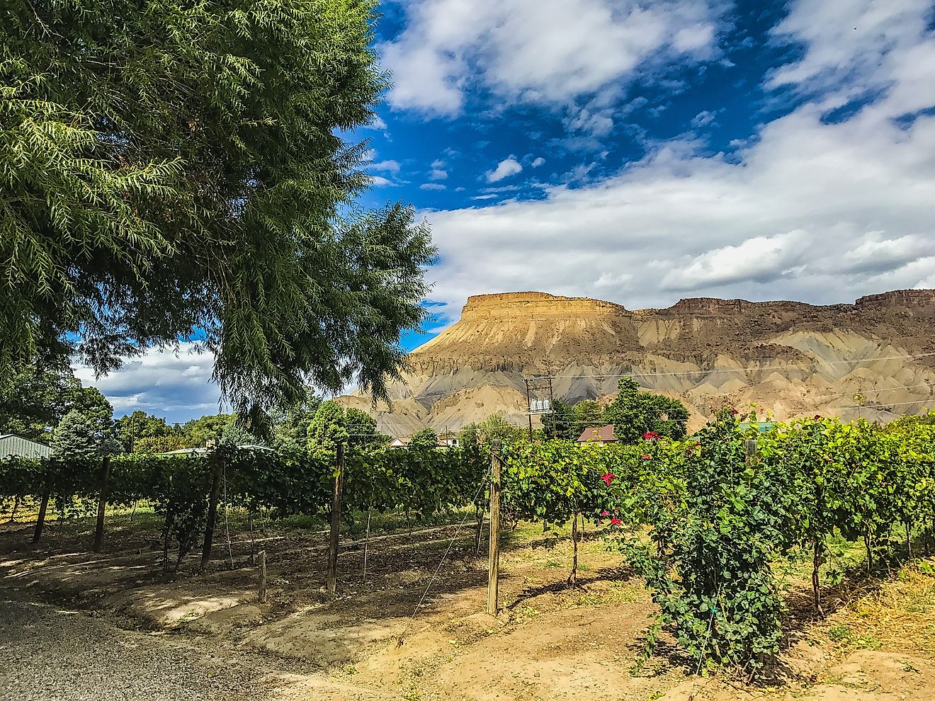
Colorado

Colorado is best known for the snow-capped Rockies, but desert terrain plays a prominent role in its geography.
In the San Luis Valley, you’ll find the Great Sand Dunes National Park, home to the tallest dunes in North America. Formed by wind and water erosion, these dunes rise against a dramatic alpine backdrop.
To the west, the Colorado Plateau extends into the state, bringing arid mesas, red rock canyons, and sparsely vegetated badlands.
These high desert regions receive between 8 and 15 inches of rainfall annually. The landscape fosters a strong outdoor tourism economy and is rich with Indigenous and archaeological heritage.
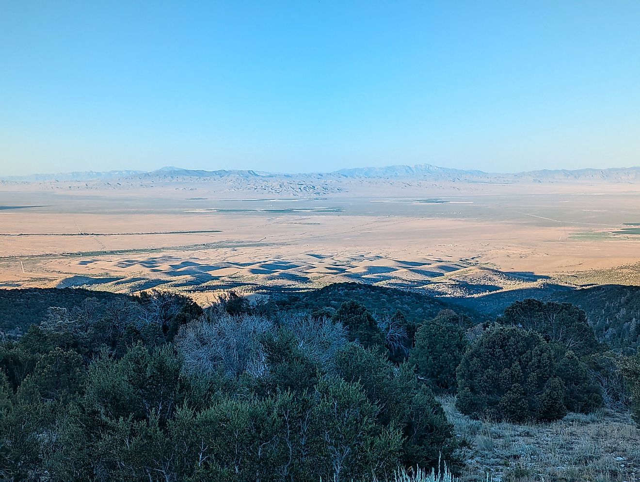
Nebraska

Nebraska might be the most surprising entry on this list. Known for its cornfields and prairies, it also harbors one of the most extensive stabilized dune systems in the Western Hemisphere: the Nebraska Sandhills.
Covering about a quarter of the state, these grass-covered sand dunes form a unique semi-arid ecosystem. Rainfall here ranges from 15 to 20 inches annually, but the porous sandy soil quickly drains water, creating desert-like conditions.
Despite their dry nature, the Sandhills overlay the Ogallala Aquifer, allowing for numerous interdunal wetlands and sustaining livestock grazing. The region supports vital bird migration routes and is a focal point for conservationists.
Chart: Comparative Desert Statistics by State
| State | Desert Type | Avg. Annual Rainfall | Notable Features |
|---|---|---|---|
| Oregon | Cold Desert | <10 inches | Alvord Desert, Fort Rock |
| Idaho | Volcanic Desert | <12 inches | Craters of the Moon, Bruneau Dunes |
| Washington | Shrub-steppe Desert | 6–10 inches | Columbia Basin, Hanford Reach |
| Colorado | Semi-arid/High Desert | 8–15 inches | Great Sand Dunes, Red Rock Plateaus |
| Nebraska | Semi-arid Prairie | 15–20 inches | Sandhills, Ogallala-fed wetlands |
Why These Deserts Matter

These unexpected deserts aren’t just geographical anomalies—they matter to the communities and ecosystems they touch.
Key contributions of these arid regions include:
-
Agriculture: Many of these areas support farming and ranching through innovative irrigation and land management practices.
-
Ecology: Desert ecosystems host unique flora and fauna found nowhere else.
-
Tourism: Natural beauty draws outdoor enthusiasts to hike, camp, and explore.
-
Cultural significance: From Indigenous heritage sites to frontier history, deserts offer rich stories.
Understanding these regions helps broaden the narrative around what a desert is—and where it can thrive.
Rethinking the American Desert

The concept of the desert in American geography is far more complex than it appears. While Arizona and Nevada may offer the most iconic desert images, the United States is home to a wide range of arid landscapes, many of which are hidden in unexpected places.
From the volcanic deserts of Idaho to the grass-covered dunes of Nebraska, these regions challenge assumptions and invite exploration. They highlight the adaptability of both ecosystems and human communities in the face of harsh conditions, and they expand our understanding of what it means to live in or visit a desert.
As climate change continues to influence precipitation patterns and resource availability, these lesser-known deserts may become even more significant. Understanding their role in regional ecology, agriculture, and culture is essential. For travelers, these areas offer a different kind of beauty—one that is subtle, resilient, and uniquely American.
Whether you’re planning a road trip or simply seeking a deeper understanding of the country’s geography, these hidden deserts deserve a place on your map.